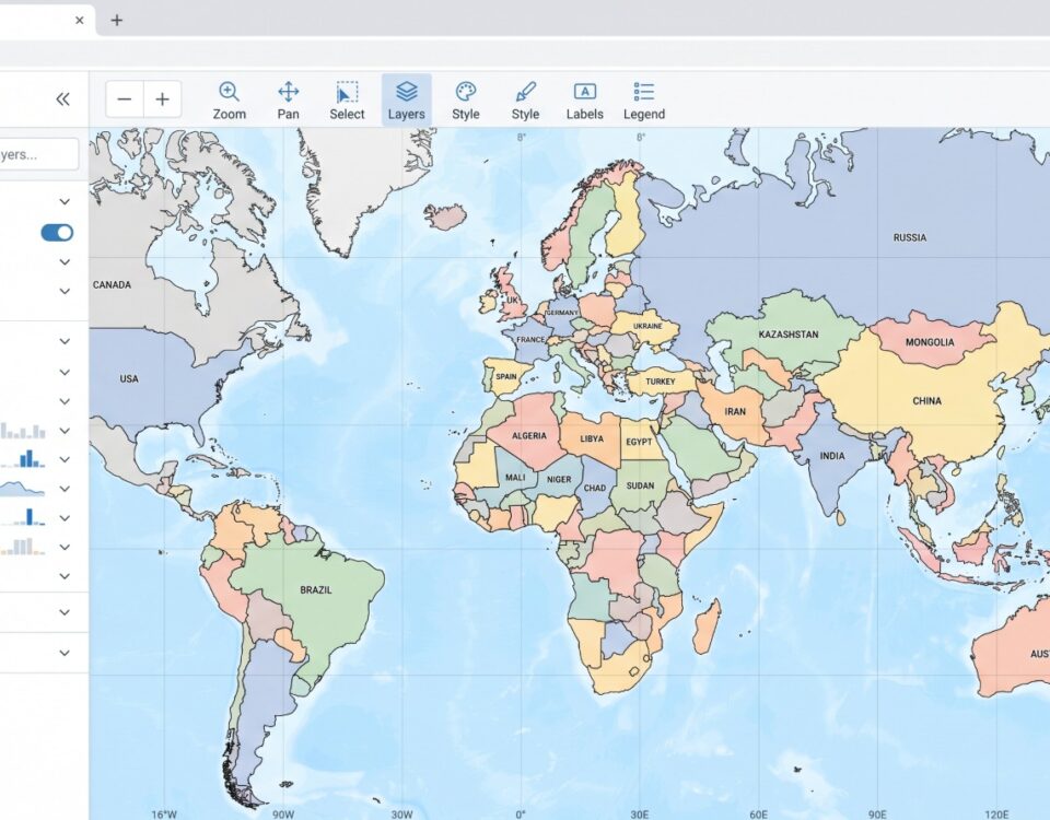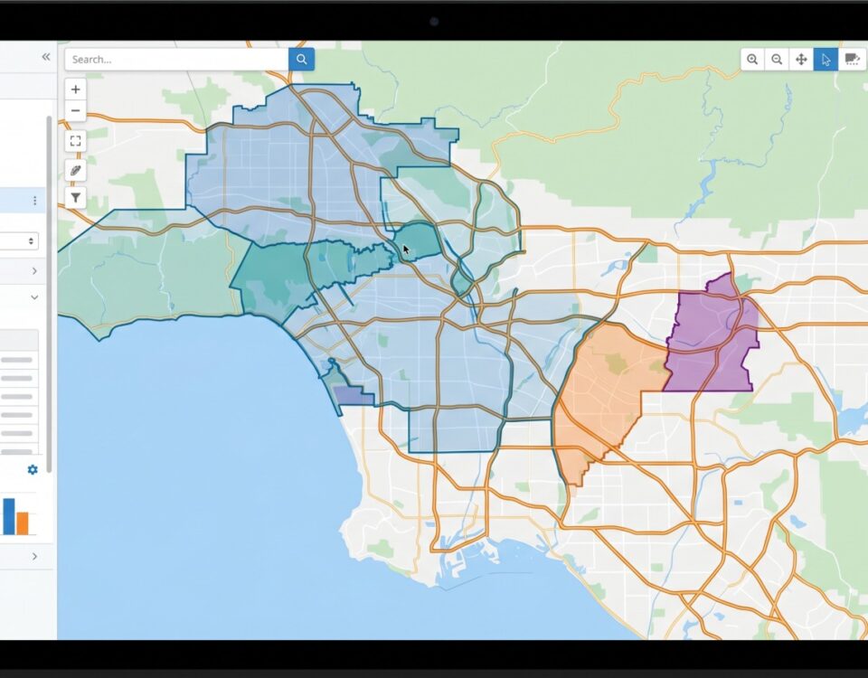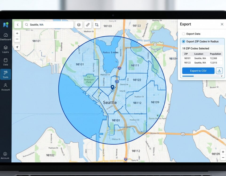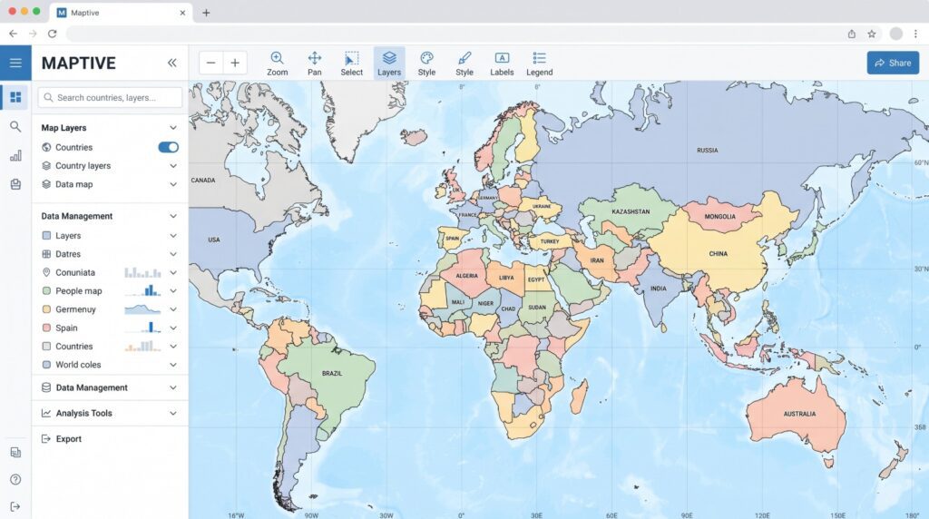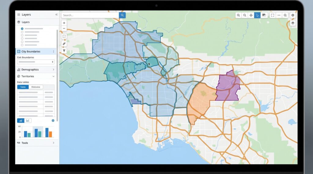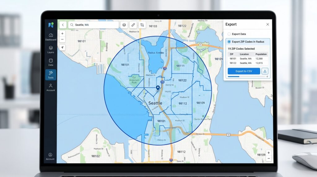
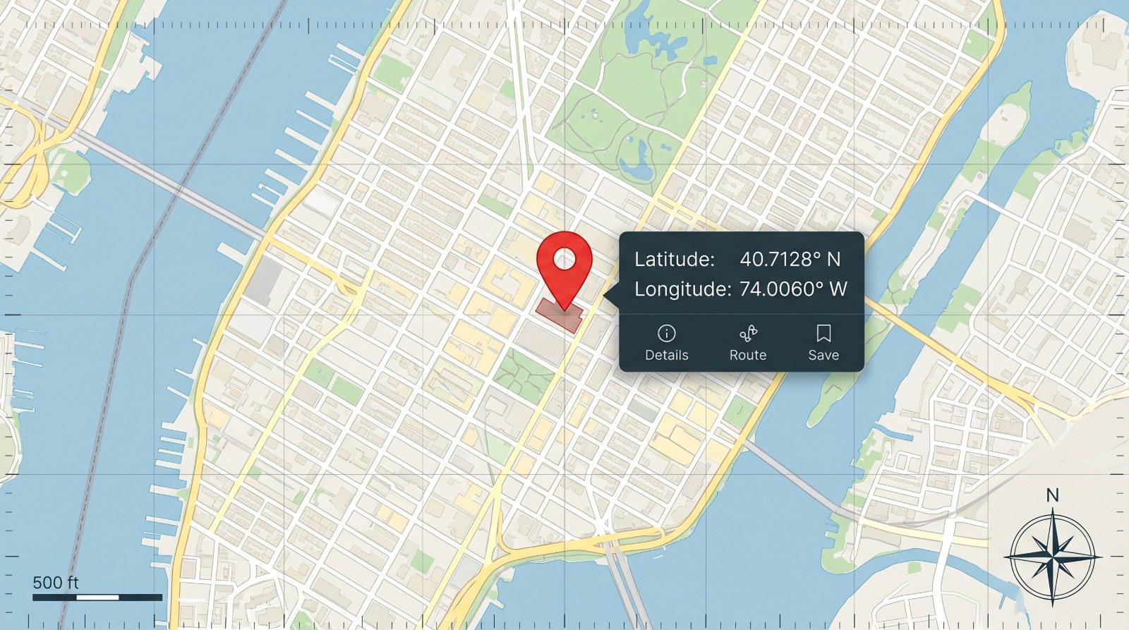
To find a location from a latitude and longitude pair, type the two numbers into a map’s search bar, latitude first, and it drops a pin at that point. To pull coordinates back off a map, right-click the spot and read the pair from the pop-up.
What decides the outcome is the two numbers themselves, not the map. The pair 28.6139, 77.2090 lands on New Delhi, but reverse it to 77.2090, 28.6139 and the point drops into open water, because no latitude runs past 90. The order and the signs are what the sections below keep coming back to.
How to Read a Latitude and Longitude Pair
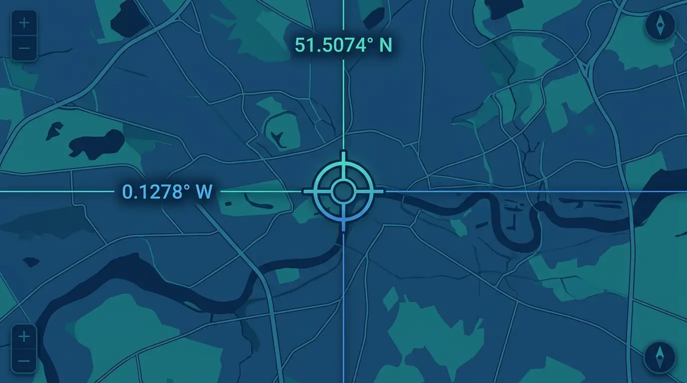
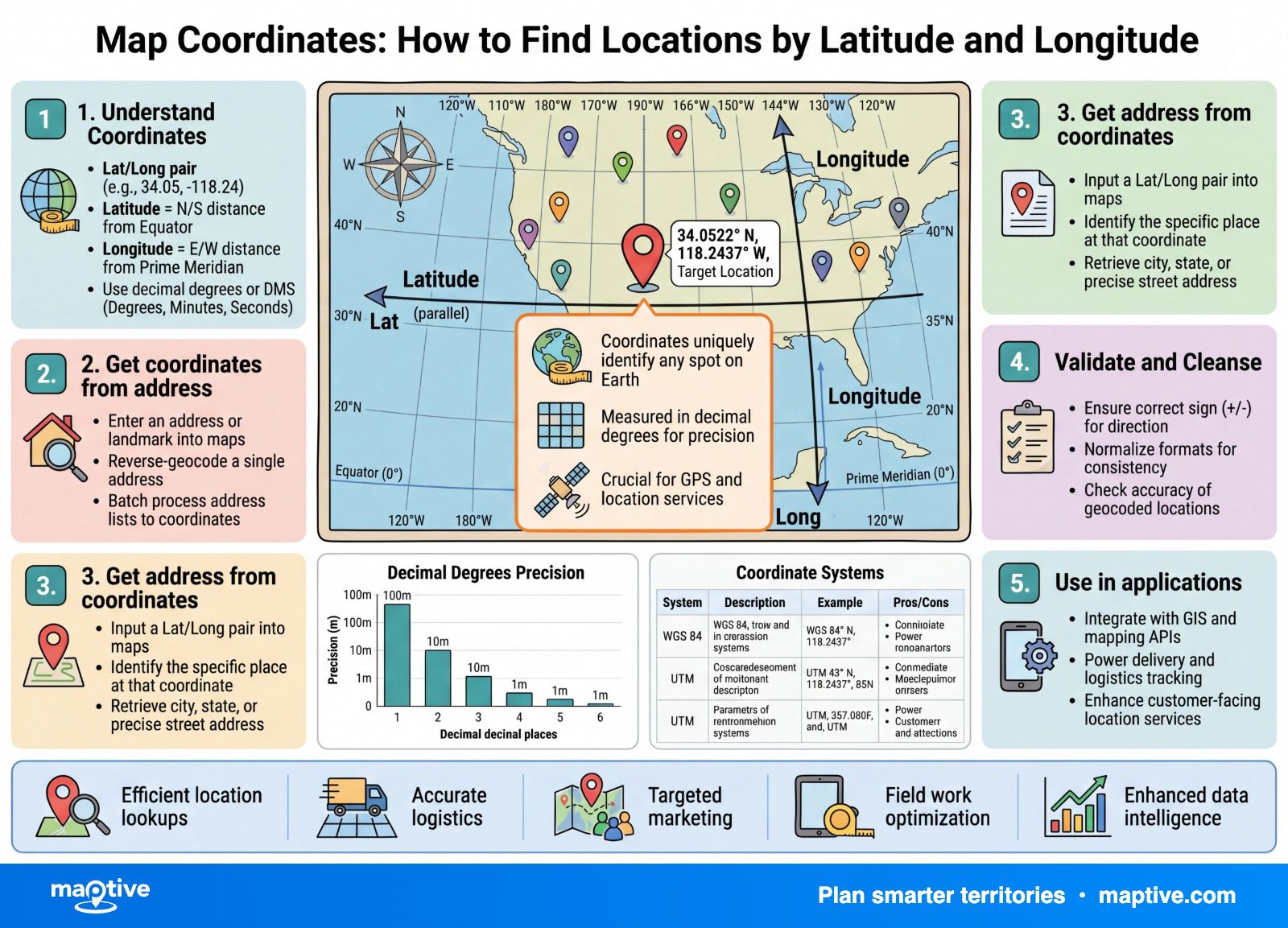
A coordinate pair only means a place once you know which number belongs to which axis and what its sign carries. Latitude measures how far north or south you are of the equator and runs from -90 at the South Pole to +90 at the North Pole. Longitude measures how far east or west you are of the prime meridian through Greenwich, England, and runs from -180 to +180. Anything south of the equator takes a negative latitude, and anything west of Greenwich takes a negative longitude.
Order is the part people trip on. The human and GPS convention writes latitude first, then longitude, so in 28.6139, 77.2090 the 28 means degrees north and the 77 degrees east, which places the point in New Delhi. Hold onto that order as the default. Some data systems flip it, a caution covered later, but for a pair you read by eye or paste into a consumer map, latitude comes first.
How to Find a Location From Coordinates on a Map
This is the everyday version of the job, turning a number pair into a place you can see. The method changes with the direction you are going and the device you hold, so the entries below take each in turn.
How to Drop a Pin From a Coordinate Pair
Paste the pair into the search bar of a web map the same way you would type an address, with a comma between the two numbers and latitude first. The map reads it as a location and drops a pin there. This handles a single lookup when someone hands you coordinates from a report, a GPS reading, or a photo’s metadata and you want to see where the point really sits.
If the pin appears somewhere absurd, the numbers are almost always where the problem is. Before you retype anything, look at how far off the point is, because the size of the error usually names the cause. A point on the wrong continent points to a swapped or unsigned pair, which the last section walks through.
How to Read Coordinates Off a Map
Going the other way, from a place to its numbers, takes one click. On a desktop web map, right-click the exact spot and the pop-up shows the latitude and longitude in decimal degrees at the top, and clicking those numbers copies the pair to your clipboard. The same coordinates also appear in the browser address bar, in the run of numbers after the “@” symbol, again latitude first.
On a phone, touch and hold the spot to drop a pin. On Android the coordinates appear in the search box, and on an iPhone they show after you swipe up on the place panel. Either way the numbers come back in decimal degrees, the format you will want when the next step is a spreadsheet or a mapping tool.
How to Look Up an Address From Coordinates
When the question is not “where is this point” but “what is at this point,” you want to know which address sits at that point, not simply that a dot is there. Pasting the pair into a map surfaces the nearest address along with the pin, which answers it for one location. Turning a whole column of coordinates into addresses is a separate job called reverse geocoding, covered further down, with an accuracy caveat worth reading before you trust the output.
Coordinate Formats: Decimal Degrees, DMS, and DDM
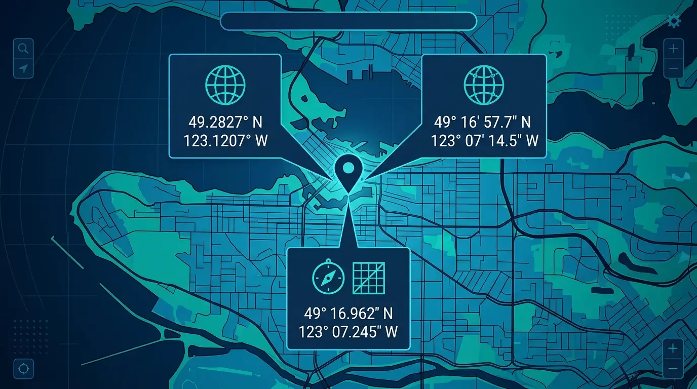
The same point can be written three ways, and confusing the notation for the location is the second most common source of trouble after order. Decimal degrees, degrees-minutes-seconds, and degrees-decimal-minutes all describe identical spots on Earth, three formats for one place. New York City is 40.714, -74.006 in decimal degrees, 40 degrees 42′ 51″ N, 74 degrees 0′ 21″ W in degrees-minutes-seconds, and N 40 degrees 42.851′, W 74 degrees 0.35′ in degrees-decimal-minutes. Knowing which one you hold tells you what to do with it.
Decimal Degrees and Why Mapping Software Prefers It
Decimal degrees writes each value as a single signed number, like 40.714 and -74.006. This is the format that spreadsheets, web maps, and most location tools read without complaint, and it is what business mapping software ingests cleanly from a data column. Data that already arrives as signed decimal degrees can be plotted directly. The negative sign does the work that the N/S/E/W letters do elsewhere, so a column of decimal degrees needs no extra parsing.
Degrees, Minutes, Seconds and How to Convert It
Degrees-minutes-seconds borrows the logic of a clock. A full circle is 360 degrees, one degree splits into 60 minutes, and one minute splits into 60 seconds. You will see it on paper charts, in aviation, in surveying, and on consumer GPS readouts. To plot it in mapping software, convert it to decimal degrees first. Take the degrees, add the minutes divided by 60, then add the seconds divided by 3,600. Worked through, 48 degrees 51′ 23.76″ becomes 48 + (51/60) + (23.76/3600), which is 48.8566. A column of these strings, with degree marks and direction letters, almost always has to be converted to signed decimals before a map will accept it.
Degrees Decimal Minutes and the Format Trap
Degrees-decimal-minutes keeps the whole degrees and expresses the rest as decimal minutes instead of splitting it into minutes and seconds, as in N 40 degrees 42.851′. It is the standard in marine and aviation work, and it converts by taking the degrees and adding the decimal minutes divided by 60, so 48 degrees 51.396′ becomes 48.8566, the same point as above.
Punctuation does not announce the format, which is what makes this one easy to get wrong. One reader fed aviation coordinates written as 44-55.012342N into a converter, read the dashes as degrees-minutes-seconds, and watched the runway land in the nearby pond. The string was degrees-decimal-minutes, written in a way that reads like degrees-minutes-seconds. Identify the notation before you convert, and do not guess from the symbols.
How Many Decimal Places to Use
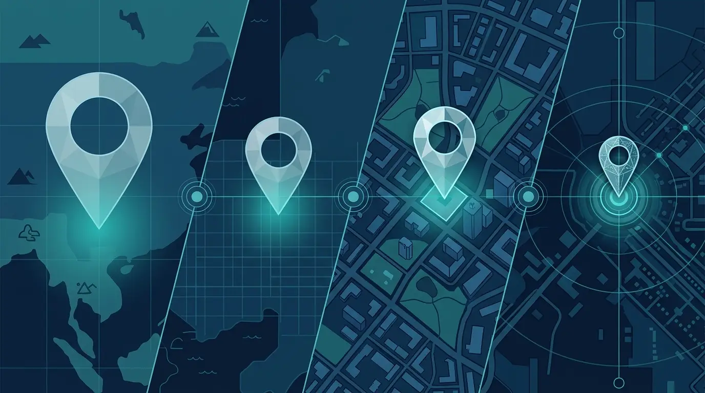
More decimal places do not buy more accuracy, and chasing the last digit wastes time. At the equator, one decimal place pins you to about 11 kilometers, two to about 1.1 kilometers, three to roughly 111 meters, four to about 11 meters, five to a little over a meter, and six to around 11 centimeters. Five places already pins you to a specific building or parking lot, six is more than any business-mapping use will need, and four is fine for “which block, which address.”
Digits stop being worth adding once you separate precision from accuracy, which are different things. A device that prints eight decimal places, implying a centimeter, while it is only built to read within 10 meters, is handing you three trailing digits that carry no real signal. Converting degrees-minutes-seconds to decimal degrees can also manufacture extra decimals the original reading never had, so round back to the source precision when it happens.
Turning Coordinates Into Addresses (Reverse Geocoding)
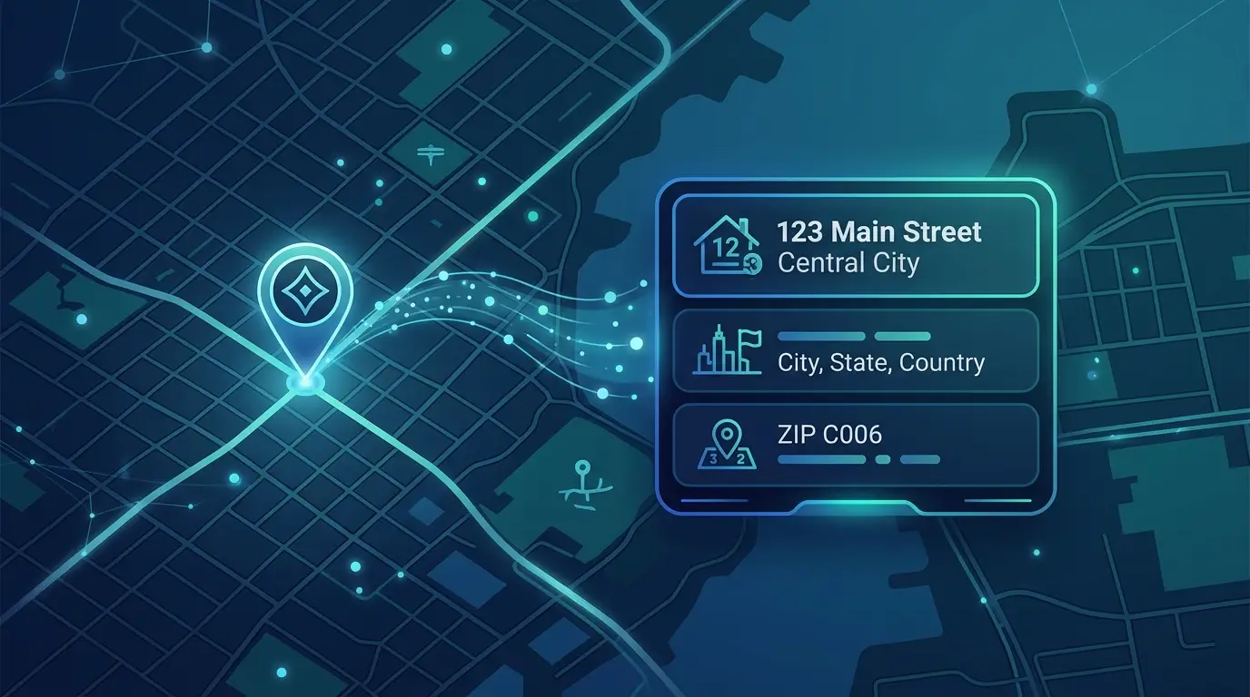
Reverse geocoding turns a latitude and longitude pair into a human-readable address or place name, the inverse of forward geocoding, which turns an address into coordinates. Forward geocoding answers “where is this address” and is what you use to plot an address list. Reverse geocoding answers “what is here” and is what labels GPS pings, sensor reads, and field captures with the place they sit. Fleet exports, asset trackers, field-data apps, and photo geotags all arrive as bare lat/long pairs that mean little to a stakeholder until they carry an address.
For a whole file, bulk reverse geocoding takes a spreadsheet with latitude and longitude columns and returns address, city, and ZIP fields for every row, exportable back to a spreadsheet. The returned address is the nearest one on file, not always the exact one, which is why accuracy matters before you act on the output.
Accuracy here is graded by the level of detail the result resolves to, and the headline claim matters less than that level. A rooftop result resolves to a specific building or street number, a street-level result resolves only to the road, and coarser results fall back to a neighborhood, a city, or a ZIP-code centroid, a single point standing in for a whole ZIP. Street-level accuracy is widely available in urban and suburban areas and degrades in remote, sparsely mapped places.
Advertised rooftop accuracy frequently resolves to a parcel centroid under the hood, the center of the property lot. A house is rarely built in the dead center of its parcel, so the pin can sit on the lawn or the driveway rather than the structure, and the gap widens on large rural lots. When no exact address matches, a geocoder may interpolate a point along a street segment between two known house numbers, which gives a street-segment result, accurate to the block but not the building. The tell of a weak batch is a cluster of “addresses” stacked on one point, where many rows fell back to a shared ZIP-code centroid and the pile-up itself is the only sign of it. Test a provider against a few addresses you already know before trusting a full file.
Causes of a Misplaced Pin
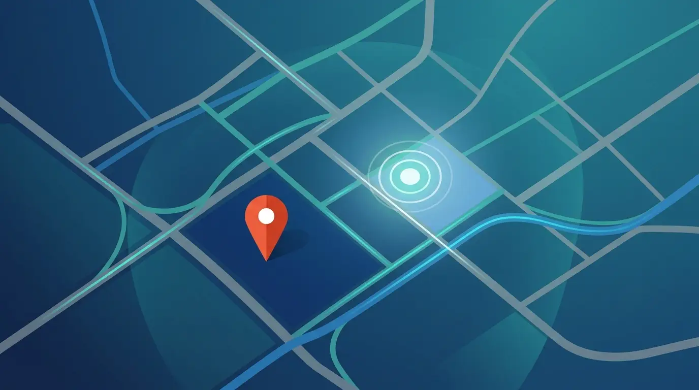
When a point shows up somewhere it has no business being, the cause is usually one of a small set of errors in the pair, not a fault in the map. The size and direction of the error tell you which one. The entries below are the recurring offenders, roughly in the order worth checking them.
Swapped Latitude and Longitude
The classic symptom of a transposed pair is a point in the ocean or on the wrong side of the planet. Because latitude tops out at 90 and longitude runs to 180, swapping the two often produces an impossible latitude or throws the point into the wrong hemisphere. When a location is absurdly far from where it should be, suspect the order first.
One piece of nuance keeps this from being a simple rule. Human and GPS convention puts latitude first, but the GeoJSON standard and most spatial databases store points longitude first, so a pair that reads correctly in a consumer map can arrive flipped from a database export. If your data passes through either, expect to swap the two columns and confirm a known point before plotting the rest.
A Dropped Negative Sign
The second most common error is leaving off a negative. In decimal degrees, south and west must carry a minus. The Space Needle in Seattle is at 47.6205, -122.3493, and entering the longitude as a positive 122.3493 throws the point into central Asia. A pair on the right latitude band but the wrong continent is the signature of a stripped sign rather than a swapped order, and it slips in most often when a value crosses formats.
A Truncated Coordinate
When a point lands close to where it belongs but a block or two off, the cause is usually a coordinate that was truncated rather than rounded. A pair clipped to two decimal places, so 41.8781 arrives as 41.87, walks the pin south and west by up to a kilometer, because truncating always drops toward zero. The fix is to carry the full-precision number through every step and leave the dot on the map untouched.
A Datum Mismatch
Sometimes two correct-looking pairs disagree, and the reason is the reference frame the numbers were measured against rather than the numbers themselves. Web maps and GPS use the WGS84 datum, so coordinates collected on an older datum such as NAD27 can move roughly 10 to 100 meters or more when plotted directly, enough to push a point across a street or a property line. A WGS84-versus-NAD83 difference in North America is usually under a couple of meters and rarely bites, while NAD27 mismatches do. Systems like UTM and MGRS are a separate matter, since they are not latitude and longitude at all, and a web map will not read them without conversion first.
A point that lands wrong almost never means a broken map. It usually means a pair read in the wrong order, written without its sign, left blank, or measured against a different frame. Check the pair the way you would check the spelling of an address, and the map becomes only as trustworthy as the numbers you hand it.