QGIS Alternative

QGIS is powerful, but desktop installs, fragile plugins, and a technical interface slow most business teams down. Maptive gives sales, marketing, and operations teams fast, reliable mapping in the browser, with real support and no GIS background required.

No credit card required
★★★★★4.7 / 5 on G2
★★★★★4.6 / 5 on Capterra
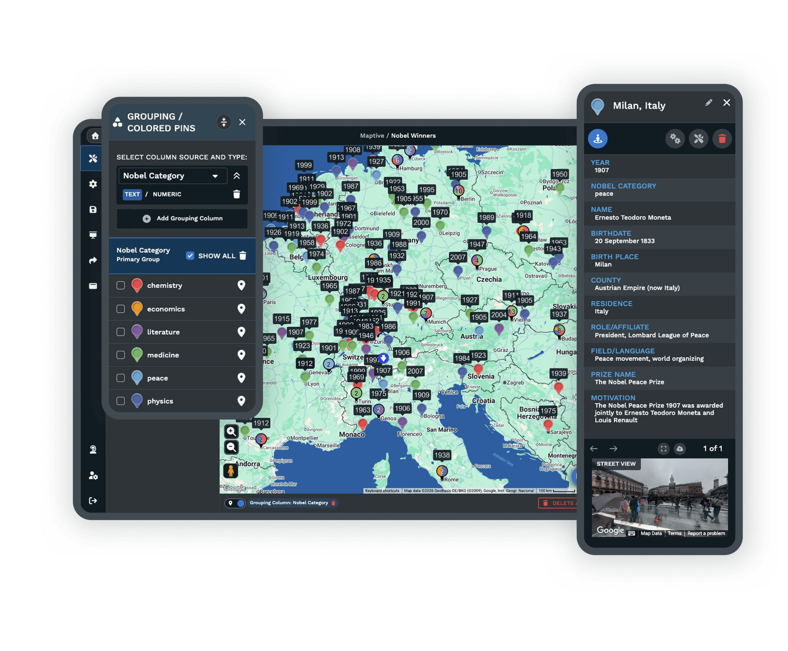
Maptive mapping software as a QGIS alternative
Maptive location intelligence map
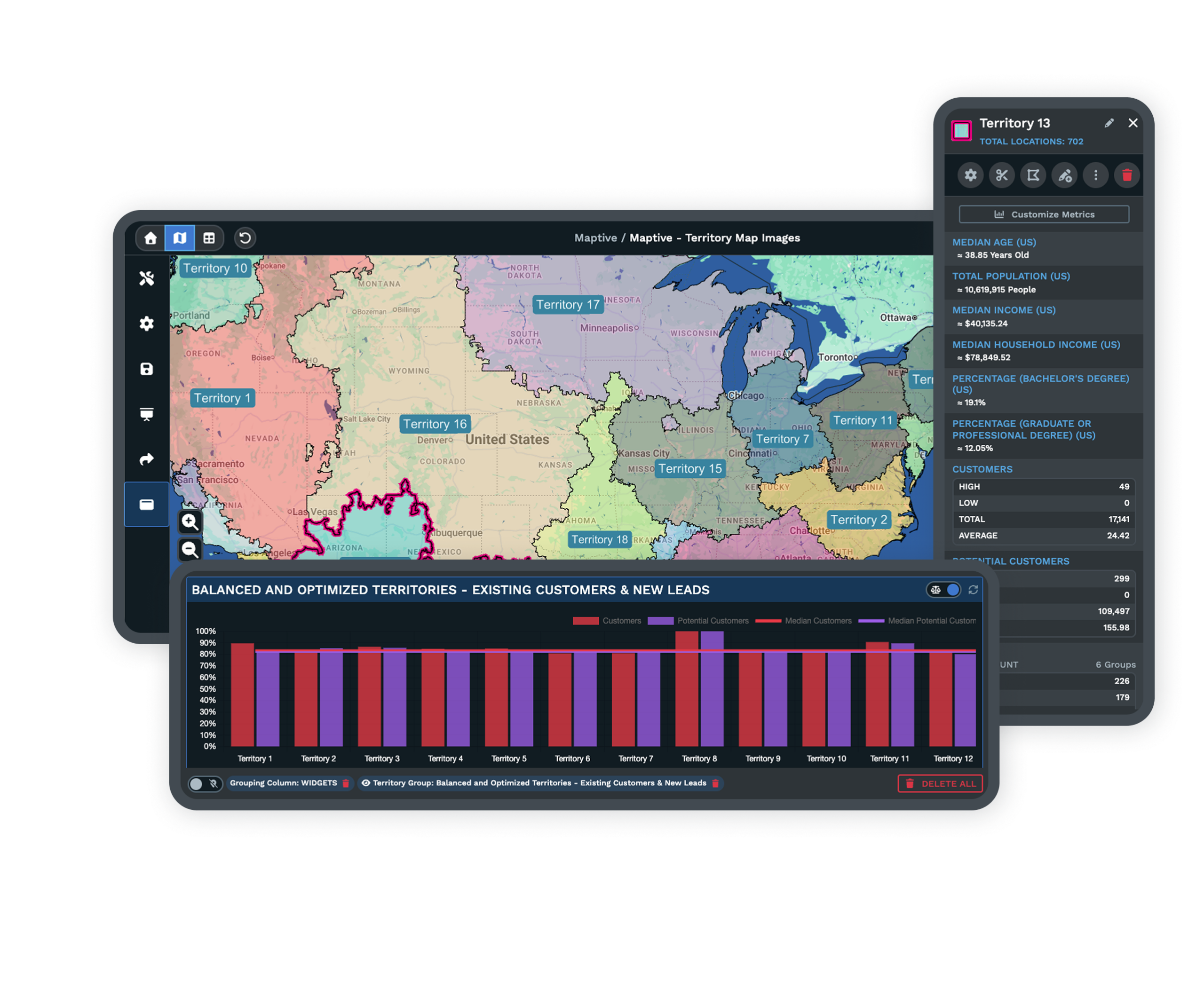
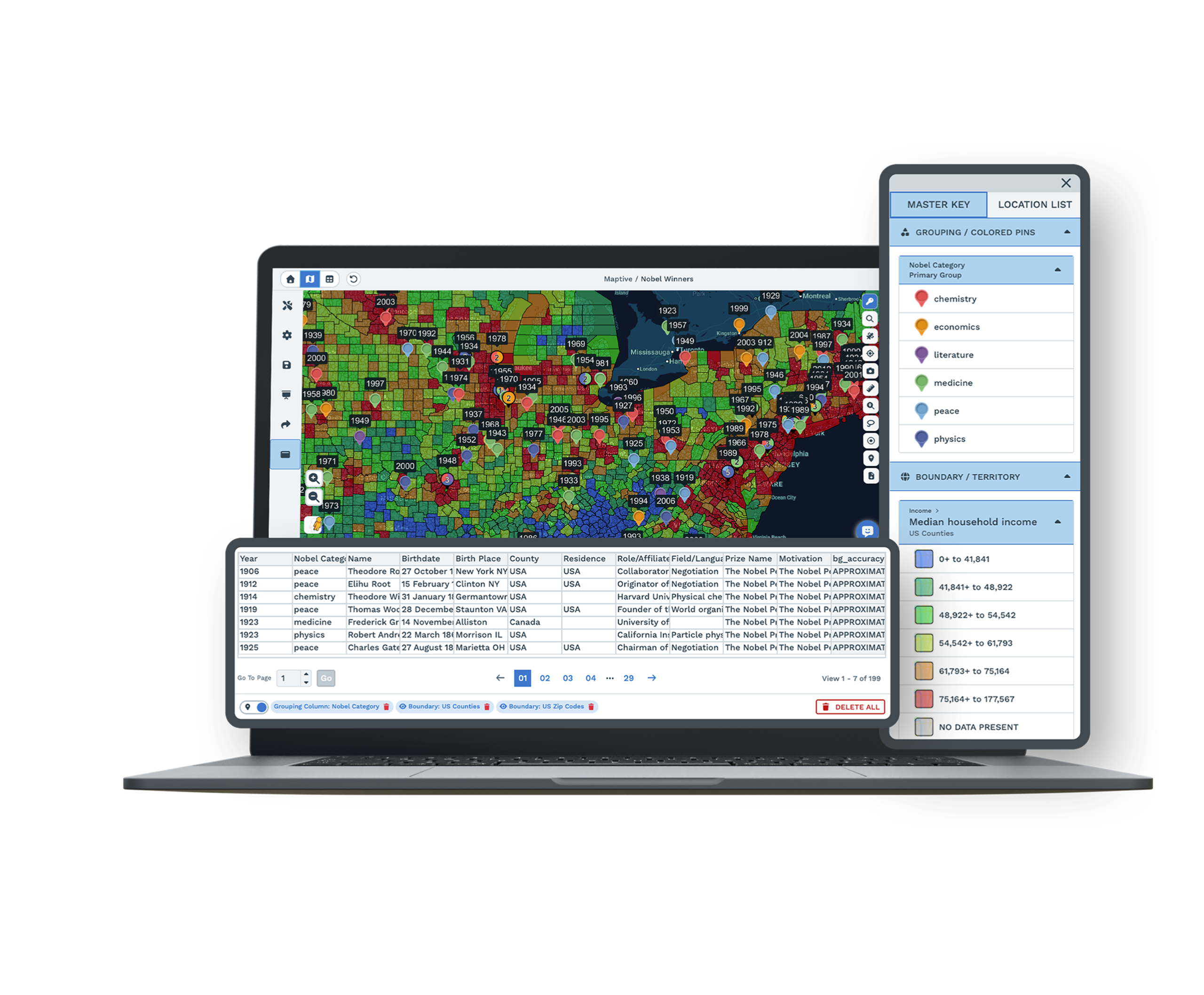
Maptive territory and demographic map
  • Nothing to install, runs in your browser
  • No GIS expertise required
  • Real support by chat, phone, and email
  • Share live maps, no file exports

Trusted by teams at

  • Adidas
  • Adobe
  • Amazon
  • American Red Cross
  • BRAC
  • Bridgestone
  • Capital One
  • Cedars-Sinai
  • Chobani
  • Coca-Cola
  • U.S. Department of Energy
  • Esso
  • Frito-Lay
  • GM Financial
  • GoPro
  • Harvard Business School
  • Hilton
  • Nikon
  • RBC
  • Rega
  • S&D Coffee & Tea
  • CBRE
  • Siemens
  • Stanford Hospital & Clinics
  • UBS
  • Volkswagen

What Our Customers Say About Us

Read more testimonials →
★★★★★

The Most Comprehensive Tool That’s Also the Easiest to Use

From Nicole at Indiana State University, after trying several other mapping tools. Maptive’s overall G2 score is 9.7 across support, data visualization, and map creation, because it is a decision engine the business side can run without a GIS analyst.

★★★★★

Maptive is essential to how we understand the global distribution of our leaders, helping us to reduce unnecessary travel time, costs and our impact on the environment.

David
The Royal Bank of Scotland
★★★★★

As our data visualization partners, Maptive has become an integral part of our operations, from logistics to project tracking to scheduling. You guys rock.

Miquel Fernandez
RMSI Retail Solutions
★★★★★

The Hallelujah Chorus played in my head when I discovered Maptive. Everything we wished for when we started our path.

Amanda S
SteelMaster Buildings
★★★★★

True insight into our data is vital to our success, and Maptive gives us exactly that.

Anjil
BRAC
★★★★★

Maptive helps us drastically with compliance, marketing and itinerary planning.

Leonie
Ecotourism Australia

When QGIS Gets in Your Way

Open-source power is real, but for business teams it often arrives with crashes, broken plugins, and no one to call.

QGIS crashes during map creation and data import, and large files bring projects to a stop with lag and freezing. The layout is hard to follow, with crowded menus and unclear icons, so finding the right tool turns into a hunt. For teams that want quick results without studying a technical manual, those wasted hours add up fast.

The trouble rarely stops at crashes. Plugins break after updates, so a tool that worked yesterday fails today, and there is no official support to call. Documentation runs out of date and answers are scattered across forums and blogs. Learning a basic task can take hours, and teams feel stuck instead of meeting real business goals.

Maptive vs QGIS

Where each tool fits, side by side.

FeatureMaptiveQGIS
Setup TimeMinutes with online access. Sign in from any browser and start mapping.Long desktop install and configuration needed before you can begin.
Ease of UseSimple drag-and-drop interface built for business users.Complex, technical interface with crowded menus and unclear icons.
ReliabilityRuns in the cloud without crashing, so your work stays safe.Crashes are common, especially during map creation and import.
Handling Large DataFast with big data uploads. Handles up to 100,000 locations smoothly.Slow and often freezes when files get large.
Plugin StabilityFeatures built in, with no fragile plugins to maintain.Key plugins often break after software updates.
Customer SupportPhone, chat, and email help, with white-glove service on every plan.Community forum only. No official help desk to call.
CollaborationShare live maps by link and update in real time.Manual file exports needed, and recipients need their own copy.
Cloud AccessWork from any browser on PC, Mac, Chromebook, or tablet.Mostly limited to the desktop where it is installed.
Free TrialYes. 10-day trial with every tool unlocked and no card required.Yes, fully open source and free to download.
PricingPaid, with clear rates and every feature included at each tier.Free, but the labor and upkeep are technical.

Maptive Makes Mapping Easy

Sign up on the web, upload your spreadsheet, and start mapping in a few clicks. There is nothing to download and no code or setup steps in the way, so your team gets to work the moment they log in.

The layout follows what people already expect from online maps, so anyone in a business setting can edit, share, and analyze from one place without learning special GIS steps or waiting on IT.
Building a business map in Maptive from a spreadsheet

Power and Performance, No Compromises

Maptive stays fast even with large sets of addresses or customer points. Map thousands of places and run route or sales region reports without waiting and without the crashes that stall desktop tools.

Route optimization and heat mapping respond right away, even on big projects. Teams handling national sales coverage, delivery plans, or instant location analysis use Maptive to save time on up-to-date business data.
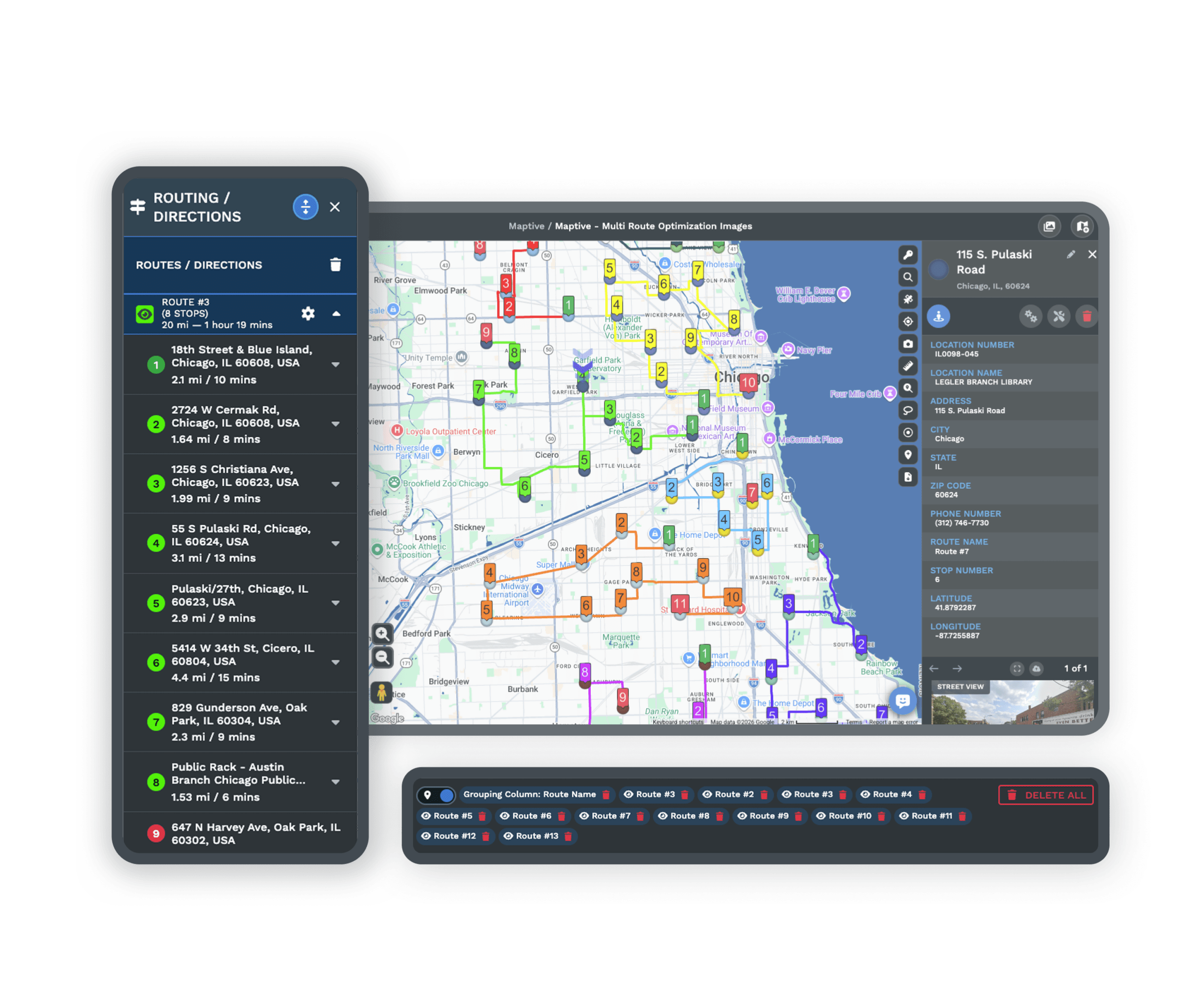
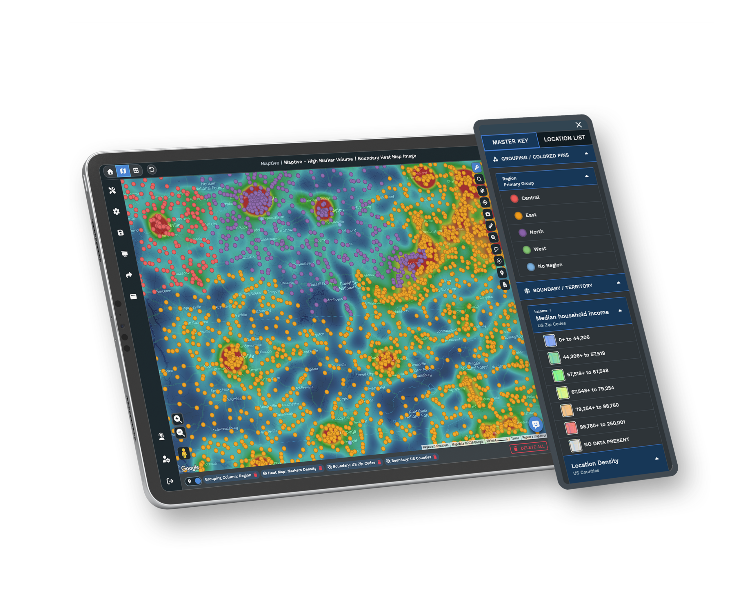
Route optimization and heat mapping on a large dataset in Maptive

Always Supported, Always Improving

Every Maptive user has easy access to support. Reach the team by chat, phone, or email and get answers right away, and lean on plain-step tutorials and guides that cover setup and each tool.

Help is proactive. The team checks in, offers tips, and solves trouble as soon as it happens, so you never feel alone or stuck the way you do searching a forum for a fix.
Maptive support team helping a customer by chat

Work Together, Work Anywhere

Maptive is fully online, so your team views, edits, and shares maps from anywhere at any time. Permissions control who can see or change each map inside and outside your company, and changes update immediately.

There is no need to send large files or worry about version mismatches. Anyone with permission opens the latest map and data right away, which keeps the whole team on the same page and moving faster.
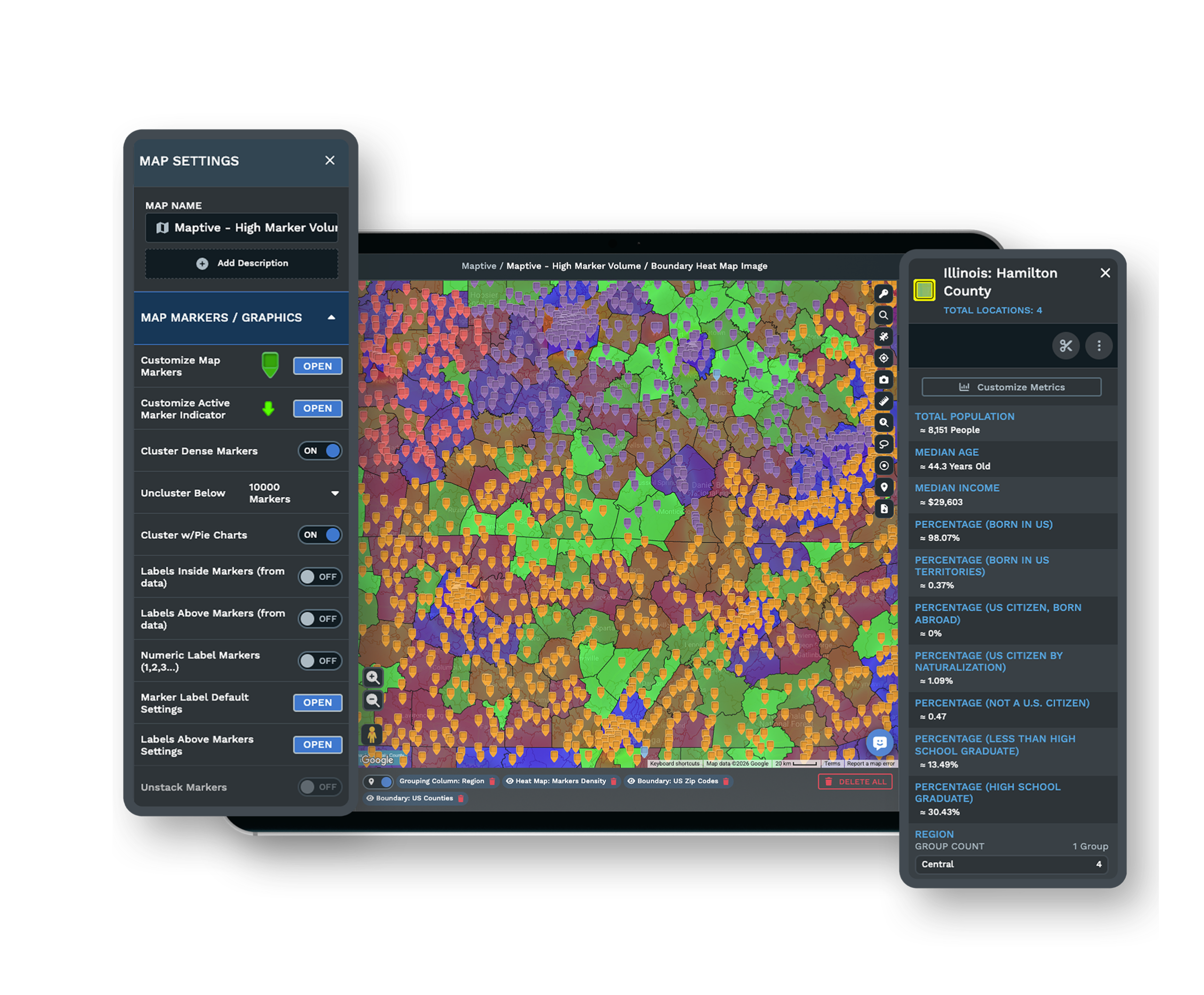
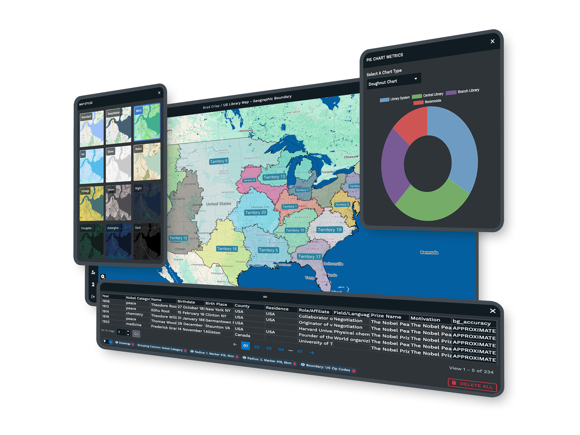
A shared Maptive map updating for a distributed team

What You Get With Maptive

A smarter way to map, so you spend less time fixing software and more time acting on your data.

Simple Enough for Everyone

Clear steps mean anyone on your team can build a map, even with no technical training. The interface matches the online maps people already use every day.

Tools for Sales, Marketing, and Ops

Territories, route optimization, heat maps, and demographic overlays come fully integrated, so business teams get the analysis they need in one place.

Runs Securely in Your Browser

Work from any modern browser with nothing to install. Your maps are safe from the crashes and lost work that come with desktop GIS.

Real-Time Collaboration

Work with teammates on the same map from anywhere. Share by secure link and watch changes update live, with no file exports to manage.

No Plugins to Maintain

Every feature is built in, so nothing breaks after an update. Your workflow keeps running without waiting on third-party plugin fixes.

Fast Support From Real People

Reach friendly experts by chat, phone, or email every business day. They help with onboarding, data formatting, and any trouble that comes up.

QGIS Alternative FAQs

What is QGIS?
QGIS, sometimes called Quantum GIS, is desktop mapping software for analyzing and creating maps from spatial data. It is open source with many features, which makes it popular with researchers and expert map makers. Plugins extend it for advanced tasks, but you install it on your computer and update it often. It suits technical users and trained staff more than teams that want quick, simple mapping.
Why do users seek alternatives to QGIS?
Many teams shopping for mapping software turn away from QGIS because of its complexity. Reviews mention unreliable plugins, slow processing of large datasets, and a confusing interface. Business users want official support and a tool that helps them move quickly rather than forums and technical guides. Easy online access matters for decision makers who do not have time to wait or train new staff on complex software.
What are the main problems with QGIS for business use?
QGIS often slows down or crashes when businesses import big data, and the screens feel crowded and hard to follow. Many tools depend on add-ons that stop working after updates, so projects can pause for days while staff find fixes. There is no official help desk, so teams search the web for answers. Out-of-date guides make training new staff tough, and projects take longer to start.
Is QGIS difficult for beginners to learn?
Most non-experts struggle with QGIS at first. There are many menus, each with technical names and features. Even simple tasks, such as bringing in spreadsheet data or drawing a quick summary map, often mean hunting for step-by-step videos or forum advice. For groups without a GIS background, it is common to spend hours learning, which delays business results.
Are QGIS plugins stable after updates?
Many core features in QGIS rely on plugins. When the main software updates, those plugins can break or stop working until they are fixed. This can slow or halt projects without warning. Businesses then wait for third-party developers to catch up, which sometimes takes days or weeks. That lack of reliable continuity makes QGIS a poor fit for organizations that need stable tools.
Does QGIS have official customer support?
No. QGIS does not come with official customer service. Users look for answers through online forums, mailing lists, or unofficial guides. This model often leaves questions unanswered for days or longer. Business teams that need quick replies and professional help cannot reliably count on it, which is one of the most common reasons they look for an alternative.
Can QGIS maps be shared easily with teams?
Sharing maps from QGIS takes extra steps. You usually send a file, and recipients need their own copy of QGIS and the data to open it. Live sharing for team edits or updates is not built in. Businesses that want staff to view or edit the same map at the same time often find that QGIS does not fit how they work.
Is QGIS cloud-based?
QGIS runs locally on your desktop and saves files on your machine unless you set up outside servers. There is no direct way to use it from a browser, and sharing across devices is limited without complex add-ons. That stands in the way of teams who need fast access wherever they work, which is where a cloud tool like Maptive helps.
Does QGIS work well on all operating systems?
You can install QGIS on Windows, Mac, or Linux, but results are mixed. Some users on non-Windows computers see problems with plugins, updates, or data imports. Mac users in particular report trouble keeping everything running. Teams with many different devices may find it unreliable, which adds upkeep that business users would rather avoid.
What makes Maptive a better alternative to QGIS?
Maptive helps business users who want simple, working mapping tools. Log in with any browser, upload a spreadsheet, and start building maps right away. It runs quickly even with large sets of addresses and has built-in analytics for operations, marketing, and sales. There are no extra plugins to maintain, and real experts are always on hand. Teams share and edit maps instantly with no extra software.
Is Maptive easy for non-GIS users?
Maptive is built for people without a mapping background. The interface looks like the everyday online maps most people already use, and the steps are clear and easy to follow. User reviews mention that most staff build and share a map with no formal training. The software suits businesses that need their team to start mapping right away.
How does Maptive handle large sets of location data?
Maptive is made to process thousands of addresses, clients, or stores at once. Uploading large spreadsheets takes a few seconds, and maps appear right away. Heat mapping, route reports, and geographic filters run smoothly. There are no widespread complaints about slowdowns or crashes during busy workdays, even for teams mapping entire sales regions or delivery networks.
What support is available for Maptive users?
Maptive offers live chat, phone, and email help for everyone, along with comprehensive guides and onboarding steps. The team can help import data, fix errors, or recommend the best steps for your project, often in real time. Recent user feedback notes that support solves issues quickly, so business users never feel stranded the way they do with forum-only help.
How quickly can I get started with Maptive?
You can create a working map with Maptive in minutes after signing up. There is nothing to download and no IT setup to wait for. Upload your spreadsheet, adjust the map, and share or analyze your data right away. Live onboarding options and clear, step-by-step tutorials guide your team, so work can begin right away, even for first-time users.

Free trial, every tool, no credit card

Ready for Better Mapping? Try Maptive Now

Skip the slow setup, crashes, and hassle of technical tools. Start a 10-day free trial with every tool unlocked, or book a demo to see Maptive run on your own data. Upload a spreadsheet, create maps, and share results in minutes.
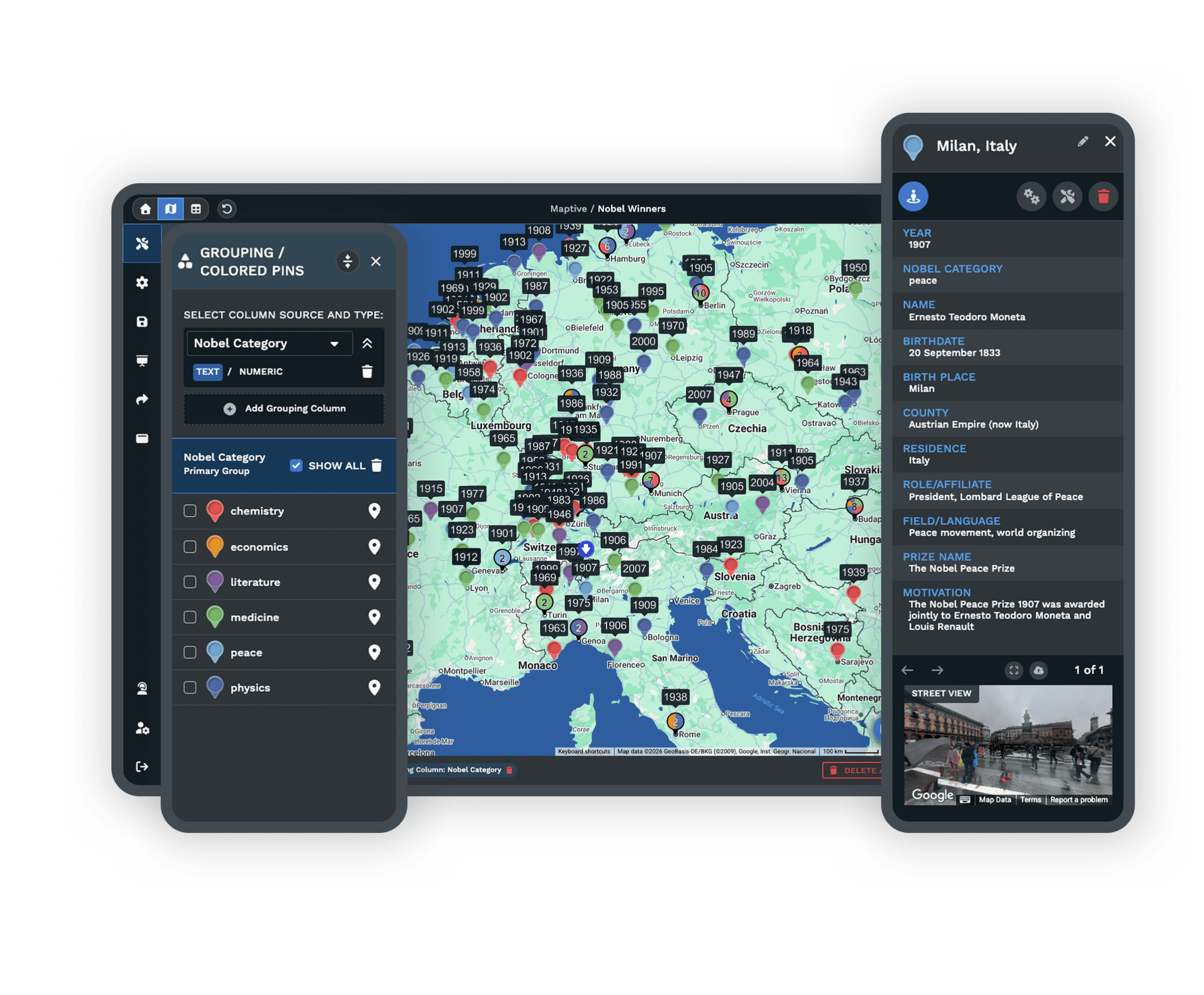
A business spreadsheet turned into a Maptive map

Switching From QGIS?

Guided onboarding and a simple spreadsheet upload move your data over quickly, with live help on formatting and no plugins to maintain once you arrive.

Book a Demo