Alternative to Mapline Mapping Software
There are many mapping software solutions available on the market, and one of the most popular options is Mapline. But if you are considering going with Mapline or are using Mapline and looking for an alternative or replacement solution, then Maptive should be on your list.
Maptive is a robust mapping software based on Google maps. Like Mapline, it’s cloud-based and can run on a wide range of operating systems, including Windows, Mac, Linux, or Android. Both tools allow you to plot your Excel spreadsheet data quickly and easily.
However, Maptive includes a much wider feature-set, many different sharing & collaboration options, many included datasets, and many different ways to customize your map.
Here’s a complete breakdown of why Maptive is the perfect Mapline alternative.
Features
Maptive |
Mapline |
Ease of use
|
Ease of use
|
Mapping tools
|
Mapping tools
|
Enterprise-level features
|
Enterprise-level features
|
Google-Based
There are several advantages to building mapping software using the Google Maps API. It gives users access to frequent updates, Google Places data, satellite imagery, geocoding abilities, powerful mapping features, and much more.
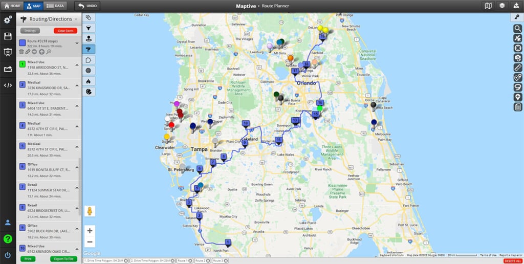
Maptive was built from the ground up with Google Maps., letting users take advantage of the best map source in the industry while also enjoying many advanced features and tools that wouldn’t otherwise be available.
Mapline does not use Google Maps. While their software is dependable, they miss out on some of the above advantages.
Sharing, Presenting & Collaboration Options
Once you’ve created a map with Maptive, you’re going to want to share it. That’s why having many different sharing options at your disposal is essential.
Mapline allows you to share your map via email. However, to view your map, the other user will need to have a Mapline account. Otherwise, they’ll have to log in using your credentials.
With Maptive, sharing your map with colleagues is easy. You can:
- Save it as an image to use in presentations or post on social media.
- Export your data to a spreadsheet.
- Embed it on a webpage.
- Give team members a link to your map.
When sending a link, even people who aren’t registered Maptive users can view your map.
Included Data
The more data you have at your fingertips, the more insights you’re able to discover from your own data. Learn more about your target markets and help in your decision-making process. While both tools offer similar geographic data, there are major differences in the amount of data included with your membership. Mapline offers USA demographic census data as an optional add-on feature. If you’re only looking for US data, this should be sufficient.
Your Maptive membership includes access to demographics and census data from several countries at no extra charge. This includes data on population, race, housing, age, citizenship status, education, income, transportation, labor, and gender.
Customization Options
As we discussed earlier, Mapline doesn’t offer as many map services as Maptive. As such, they provide you with fewer ways to customize the look and feel of your map.
Maptive gives many different configuration options to help you personalize your map, including:
- Map drawing tools to create custom territories and boundaries
- 15 different base maps to choose from
- Customize the look and color of your map pins
- Insert images into your map
- And more
Why Choose Maptive?
Maptive is a user-friendly mapping solution, and it’s available for a free trial. Click here for a complete list of features.
Start Your Free, No Risk, 10 Day Trial
No credit card required. No surprises. Just Results.
START MAPPING NOW