
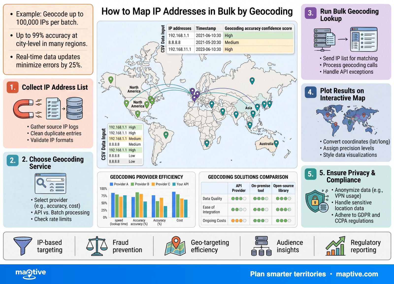
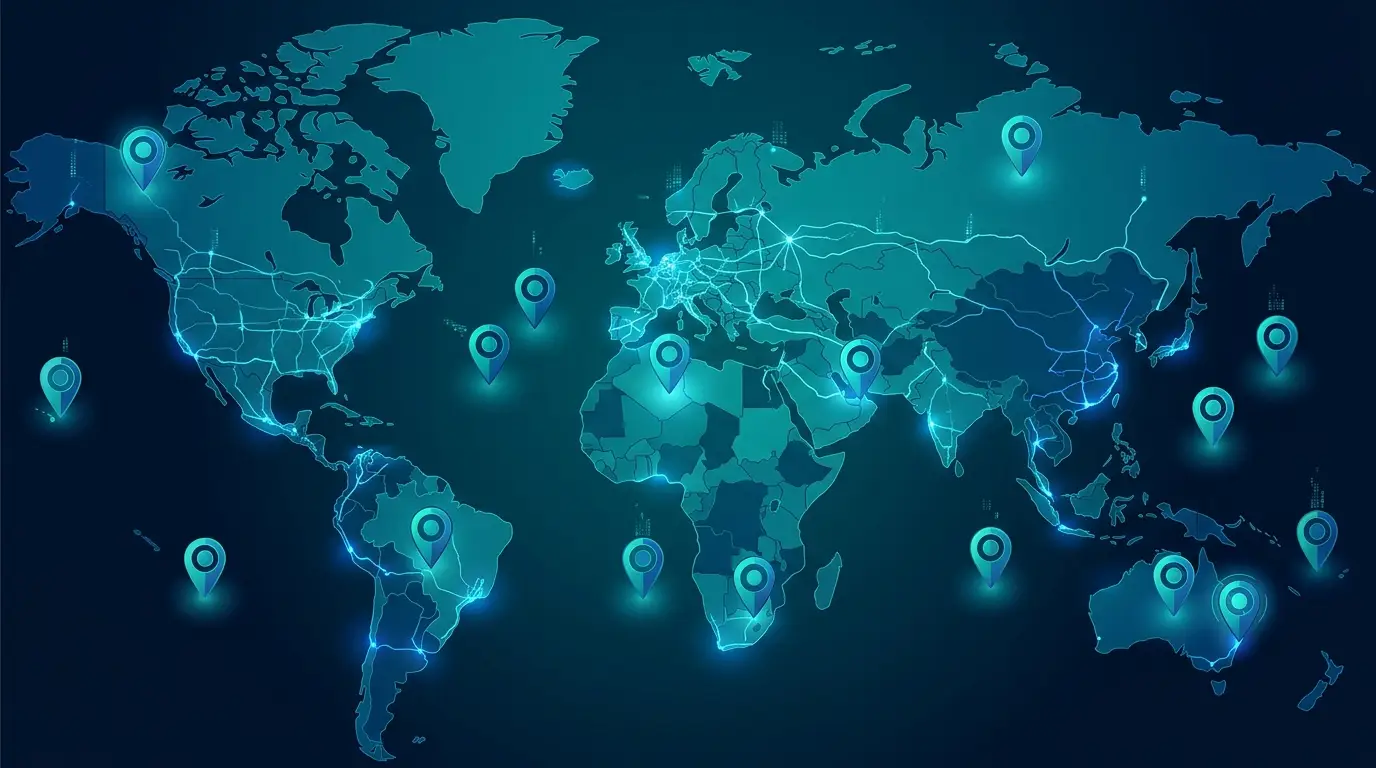
Mapping IP addresses in bulk means converting a list of them to approximate latitude and longitude pairs through geolocation, then plotting the results, and you can run tens of thousands at a time.
How much to trust the map comes down to one fact. An IP address points to the network a person connects through, not to the person, so the result is honest at the level of a country or region and misleading at the level of a street. Almost every confusion about it starts with expecting a street address from a tool built to estimate a region.
How to Map IP Addresses in Bulk, Step by Step
The workflow is short, and it looks the same across the tools that do it. You gather the addresses, clean the list, geocode each one to a coordinate, and plot what comes back. Most of the care goes into the cleaning and into reading the result, not into the mapping itself.
Pull and Clean the List
The addresses usually come from a web-server access log or an analytics export, so the first move is to get them into a single column in a spreadsheet. Remove the duplicates, since one busy visitor can appear hundreds of times and would otherwise weight the map toward a handful of addresses. Then strip the private and reserved ranges, the ones that begin with 10, 192.168, and 127, along with the other internal blocks. These are addresses used inside private networks, and they do not correspond to any public location, so they will never geocode to a real place. Leaving them in produces rows that either fail or land somewhere meaningless.
Geocode the IPs to Coordinates
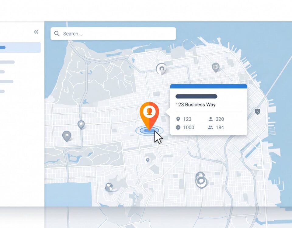
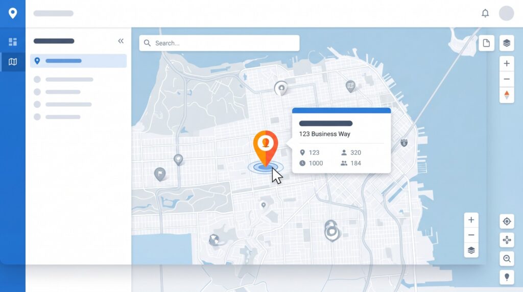
Geocoding here means matching each address against a geolocation database, which returns a set of fields for the row, among them a country, a region or state, a city, a postal code, and a latitude and longitude. That coordinate pair is what lets the record sit on a map. Volume is rarely the bottleneck at this stage. Batch services routinely accept up to 50,000 addresses in a single file and hand back an enriched spreadsheet, with the coordinates added beside each original address.
Plot the Coordinates and Read the Pattern
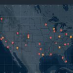
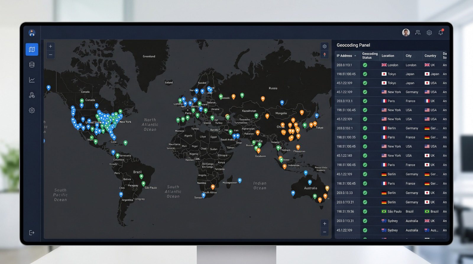
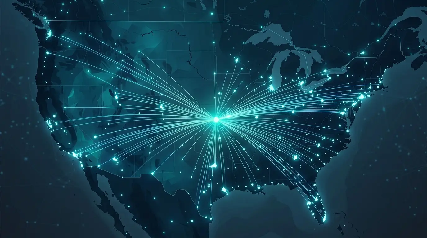
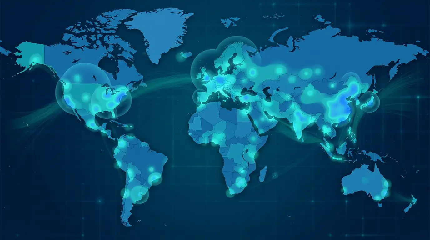
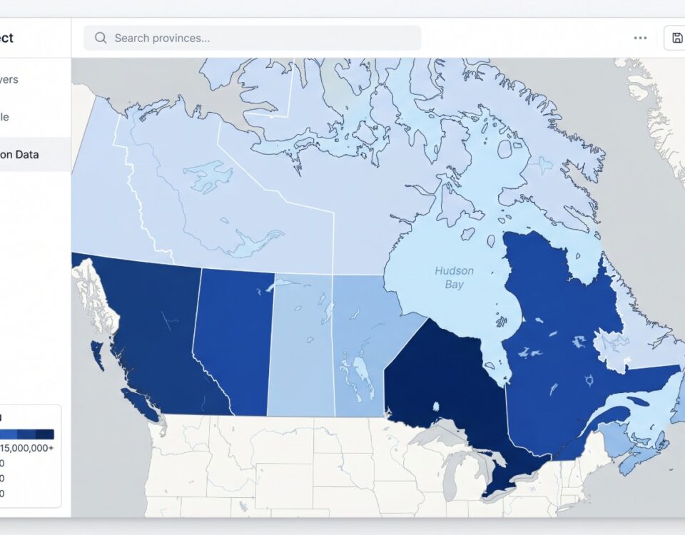
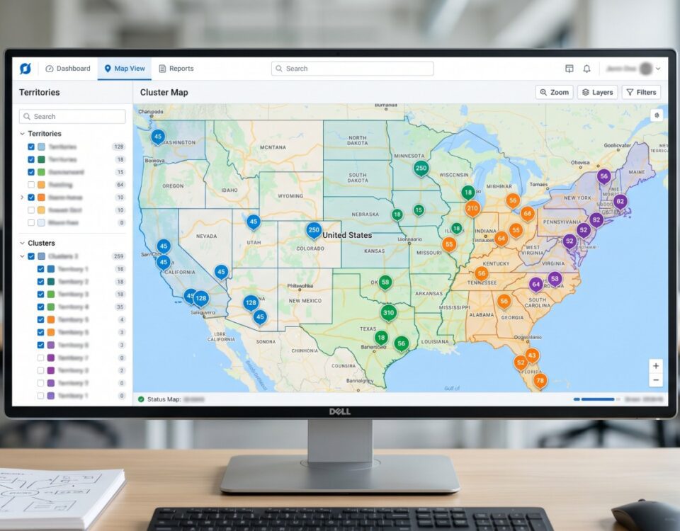
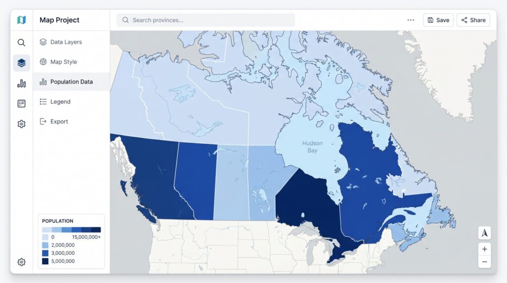
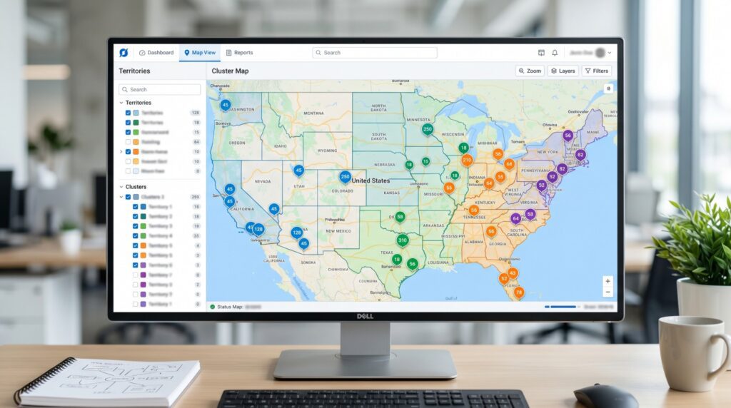
Once every row has a latitude and longitude, the data plots like any other location set. The geocoded list is exactly the kind of dataset business mapping software such as Maptive is built to take in, with color-coded markers, grouping by region, and a shareable view link for the people who need to see the result. Read the finished map by where the markers gather rather than by any single point. A dense band of markers around a metro tells you something real about where your traffic or your leads come from. One marker on a lonely coordinate usually tells you about the limits of the data, which is the next thing to understand.
The Real Accuracy of IP Geolocation

Accuracy is tiered, not a single number, and it grows weaker the more precision you ask for. This is the version of the figure that marketing usually leads with, told straight. When a service advertises being more than 99 percent accurate, that number almost always describes the country level alone, and it says nothing about how often the city is right.
Reliable at the Country Level, Shaky at the City
The tiers are steady enough across the field to plan around. Country-level accuracy generally exceeds 99 percent, setting aside addresses behind a VPN. Drop to the state or region level and it typically falls to somewhere between 55 and 80 percent, depending heavily on the country. City-level accuracy ranges widely, from 20 percent to 75 percent, and it is strongest in large, dense cities on home broadband. For the United States, placing an address within about 50 kilometers of the correct city lands right about two-thirds of the time. Push for stricter city-level precision, within about 10 kilometers, and the rate can drop to somewhere between 15 and 35 percent once you filter out datacenter, VPN, and proxy addresses. The headline numbers describe the easy cases, while the hard cases, behind VPNs and in smaller cities, show up often enough that you should plan for them.
The Accuracy Radius Instead of a Point
The most reliable way to picture an IP location is a circle rather than a pin, the area the address probably sits inside. Better databases return an accuracy radius paired with a confidence score. The mental model that keeps you out of trouble is a set of concentric circles, where the closer you zoom toward an exact point, the less certain that point becomes. It should never be treated as a street address, no matter how precise the coordinate looks when it lands on the map.
The Kansas Farm and 600 Million Misrouted Addresses
In 2002, a geolocation database needed a single default coordinate to assign to any address it could place no more precisely than somewhere in the United States. The true geographic center of the country is an awkward decimal, so the database rounded it to a cleaner nearby pair, 38.0000 and -97.0000. That point fell in the front yard of a 360-acre farm near Potwin, Kansas, a property one family had held for more than a hundred years.
Over roughly the next decade, more than 600 million IP addresses became associated with that one coordinate, an order of magnitude more than any other location in the database. The people renting the farm paid for it. They were accused of being scammers, spammers, and thieves, visited by FBI agents, federal marshals, and police, and harassed by strangers certain that their stolen phone or their fraud was coming from that address. The county sheriff eventually posted a warning sign at the driveway. After the case became public, the database moved its default coordinates to the middle of bodies of water instead of dropping them near homes.
The same lesson applies to every bulk IP map. A pile of records stacked at the exact center of a country or a region is almost never a real cluster. It is the default point the database falls back to when it cannot resolve an address to a city, and the rows that could not be placed get dumped there together. A bulk map has to expect those centroid pile-ups and treat them as what they are, which is missing data the database could not place, gathered at a fallback point.
The Common Sources of a Wrong Location
Most of the locations that look wrong on an IP map are correct readings of the network, which is the whole point worth repeating. The address resolved to the place the network is, and that place is frequently not where the person is. A few patterns cause almost all of it.
Internet providers buy large blocks of addresses and register them to a headquarters or a regional data center, so an address frequently resolves to the provider’s hub city rather than the customer’s town. This is the single most common reason a location looks off while the lookup is technically right. Mobile traffic adds its own spread, because cellular carriers route thousands of subscribers through shared pools anchored at a regional switching center, so a phone’s address often resolves only to a broad region, and the same address can move between users hundreds of kilometers apart within minutes.
The biggest jumps come from addresses that were never meant to reveal the user at all. A VPN or proxy returns the location of its exit server, so a person in Berlin connecting through an Amsterdam server reads about 650 kilometers away from where they sit. A remote worker in Austin on a company VPN that exits in New York appears, to every outside site, to be in New York, and a whole distributed team can salt a traffic map with phantom dots at the headquarters city. Traffic from cloud platforms behaves the same way, resolving to wherever the cloud provider registered the address block rather than where the work is running. None of these is a malfunction. Each is the system reporting the network exactly as designed.
What a Bulk IP Map Is Good For
Read at the right level, a bulk IP map answers real questions. Three jobs fit its precision well.
Web-traffic origins show which countries, regions, and metros your visitors come from, which lets you benchmark performance by market and decide where demand is worth pursuing.
Lead routing improves when you can see where inbound leads gather geographically and send them to the right territory, and a corporate address can even surface the named organization a business visitor came from.
Fraud screening gains a useful signal from an address whose region does not match the billing address, two logins from distant countries minutes apart, or traffic arriving through a VPN or proxy.
Every one of these is a regional signal to weigh alongside other data, not proof on its own.
The privacy side deserves the same candor. Because the result is regional rather than personal, IP geolocation is a gentler alternative to GPS for many analytics jobs, since it does not need anything from the user’s device. An IP address is still treated as personal data under rules such as the EU GDPR, so it carries obligations, and presenting a default centroid as a person’s home is both wrong and a real hazard, as the Kansas farm showed at length. Zoomed out to countries and metros, a bulk IP map answers real questions about where demand sits. Zoomed in to a single doorstep, it stops being reliable, since at that distance you are reading the network the address belongs to and never the person behind it.


