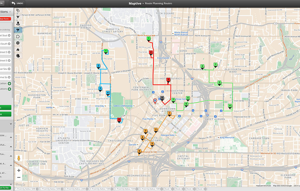
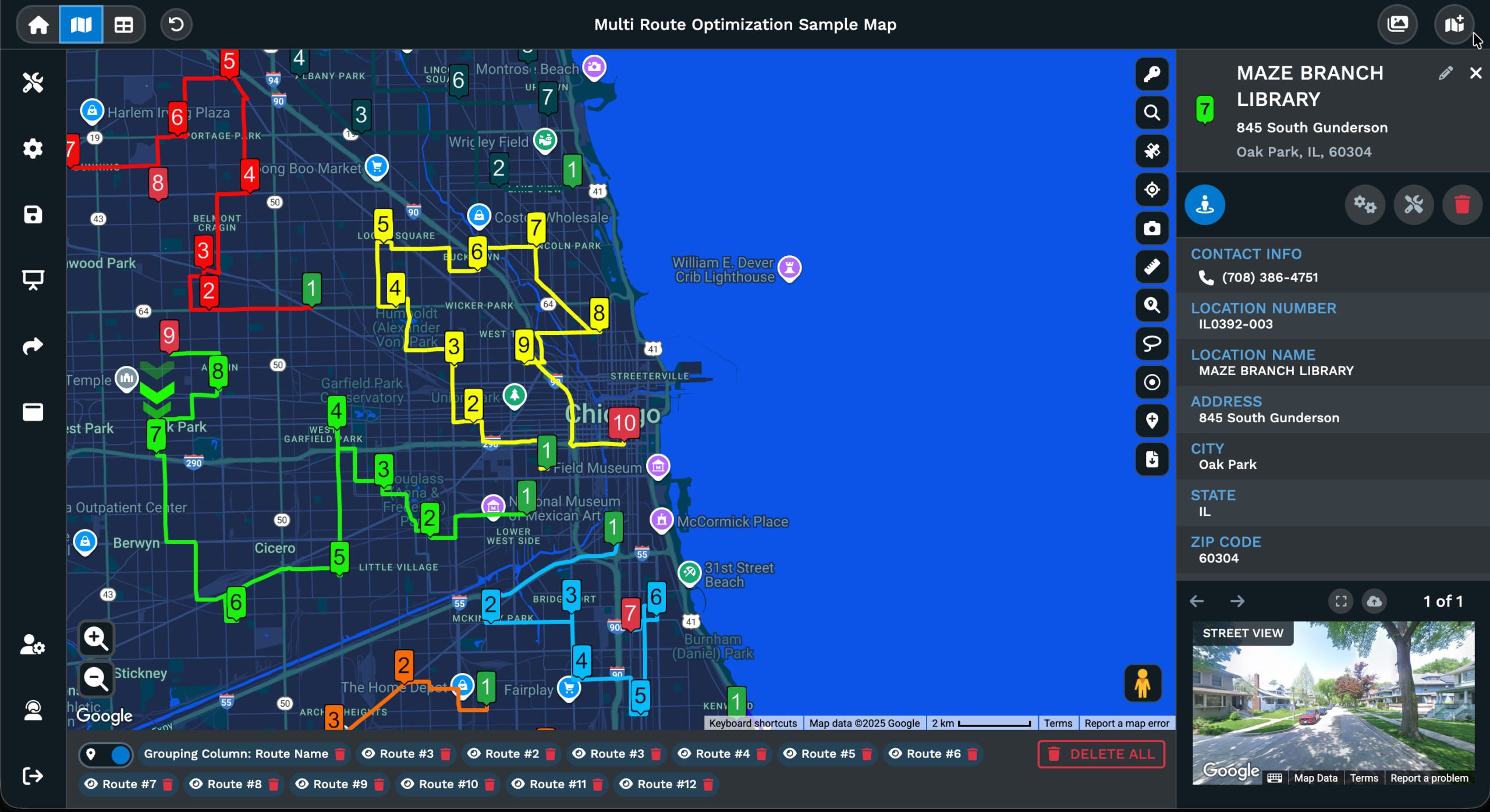
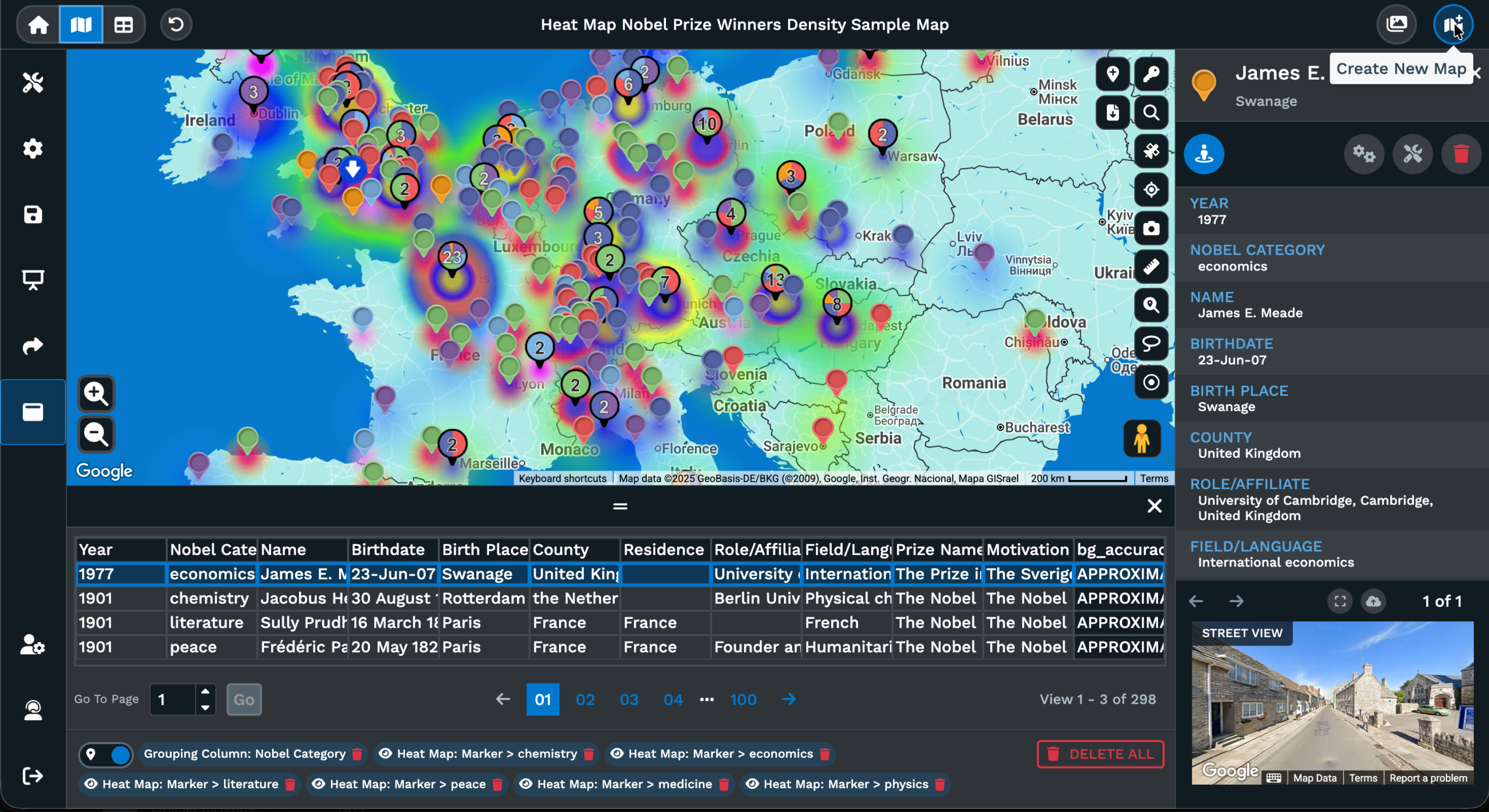
Distance Calculator Mapping Tool
Open the Distance Calculator Tool inside Maptive, click 2 points on the map for a straight-line read, or chain more clicks for a multi-leg total or a closed-polygon area.
Distance Answers in a Few Clicks
Tool icon location: Click the Distance Calculator Tool icon on the right-hand side of the screen and a dialogue box opens with the 2 measurement modes ready for a click.
Single Point Distance Measurement: Pick this mode to measure between a pair of points. Click the first on the map, click the second, and the read prints against the line.
Multiple Point Distance Measurement: Pick this mode for a path of more than 2 points, or area when the polygon closes. Each new click adds a segment to the dotted line.
Stop a multi-point run: Click the Multiple Point Distance Calculator icon, or close the polygon by clicking back onto the first point, and the cursor returns to the map.
Reads against the line: A solid line for the single-point mode and a dotted line for the multi-point mode each print the segment read against the map for you to read off.
Delete a measurement: Click the X at the end of the line and that measurement comes off the map. The base view is back to plain map clicks with no extra points behind.
Measure Distance in 3 Steps
1
Open
Click the Distance Calculator Tool icon on the right side of the map and pick Single Point Distance or Multiple Point.
2
Click
Click the first point on the map, then click the second point for a pair, or keep clicking for a multi-leg path or area.
3
Read
The line prints the distance you measured against the map, so you read the result right where the points were dropped.
Distance Between 2 Points
Multi-Point Path Total
Area Inside a Polygon
Repeat Reads Without Clutter
A Quick Sanity Check
Maps Share the Tool
Distance Reading on a Map
Straight-Line Map Reads
A straight-line distance between 2 points on a map is the shortest path across the surface, ignoring roads, rivers, and terrain. The Distance Calculator Tool inside Maptive returns this straight-line read as soon as you click the second point in Single Point Distance Measurement mode. The line is drawn on the base map, with the distance read printed against it.
The picker between Single Point and Multiple Point modes is the only setting before measurement runs. Single Point stops after the second click. Multiple Point keeps measuring as long as you keep clicking, with each new click extending the dotted line by another segment. Both modes run on straight-line geometry across the map surface, which is the as-the-crow-flies read rather than a driving figure across the road network.
A straight-line read is the right number for line-of-sight questions, for a quick distance sanity check, or for area sizing through a closed polygon. The Distance Calculator Tool prints that read directly against the map view, with the line and the printed number sitting on top of the map your points were placed on. Removing a line is a single click on the X at the end, so the map stays readable across repeats.
Multi-Leg Map Paths
A trip across more than 2 points is a multi-leg path, and a basic distance check returns only an A-to-B figure for it. The Multiple Point Distance Measurement mode answers the multi-leg question by adding a new segment for every click after the first. Each new click extends the dotted line, and a read prints against the path as it grows on the map view.
A multi-leg measurement runs until you stop it. The same icon that started the measurement stops it on a second click, and closing the polygon by clicking back onto the first point also ends it. Either action returns the cursor arrow to the map, with the measured path printed against the base map. The dotted line stays in place after measurement ends, so the read carries over to the next look at the map you have on screen.
Closing a polygon also turns the multi-point measurement into an area read for the region. The points you clicked form the corners of the polygon, the dotted segments form its sides, and Maptive prints the area for that closed region against the map. The same tool handles a 2-point line, a multi-leg path, and a closed-polygon area, with the picker on the dialogue box deciding which read the next clicks give you.
Pin-to-Pin vs Free Clicks
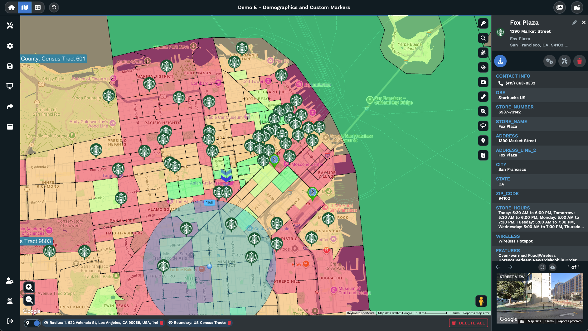
Map clicks decide where the measurement points go on the map view. A click can sit on top of a marker that you already have plotted, or on an empty patch of the base map view. The Distance Calculator Tool reads the click location either way, so the same tool handles pin-to-pin distance reads on uploaded data points and free-click reads on any spot you can see across the map.
Clicking on a marker is the way to measure from a row on your uploaded data to another row, or to a free point on the map. Clicking on empty map is the way to measure across regions, between landmarks, or around a piece of geography the data set does not list as a row. Either click form counts as a point for the measurement, and the line is printed across the map view in the same way for the read.
A free-click read is also the way to test a what-if scenario before any data change on the map. A proposed hub, a candidate site, or a halfway point can each be clicked onto the map and measured against the rows you already have on the map view. The Distance Calculator Tool gives a read against the existing map, so the test sits on top of the data without writing a new row or editing the upload behind the view of the map.
FAQs About the Distance Calculator Tool
How do I open the Distance Calculator Tool?
Click the Distance Calculator Tool icon on the right-hand side of the map. A dialogue box opens and offers a pair of measurement modes: Single Point Distance Measurement and Multiple Point Distance Measurement. Pick the mode that fits the read you want, then click directly on the map to set the points the tool measures between. The line prints the read against the base map, with no menu pass before the answer prints against the line on your view of the map.
How do I measure the distance between 2 points?
Open the Distance Calculator Tool, then pick Single Point Distance Measurement from the dialogue box. Click the first location on your map, then click the second point on the map. The measurement stops at the second click. The line is drawn between the 2 points, the straight-line distance prints against it, and the cursor arrow comes back to the map view. Click the X at the end of the line to take that measurement off the map when you are done.
How do I measure a path across more than 2 points?
Pick Multiple Point Distance Measurement on the dialogue box, then click the first location on the map and continue clicking additional points. Each new click extends the dotted line by another segment, with a read printed against the path as it grows. To stop measurement, click the Multiple Point Distance Calculator icon again, or close the polygon by clicking back onto the first point. The cursor arrow returns to the map and the full multi-leg read stays printed in place.
Can I measure the size of an area?
Yes. Pick Multiple Point Distance Measurement, then click around the region you want to size. Close the polygon by clicking back onto the first point. The closed polygon prints an area read against the map, with the dotted lines marking the sides of the region. The same tool gives you a 2-point line, a multi-leg path total, and a closed-polygon area, with the mode picker on the dialogue box and the way you stop measurement deciding the read you get.
Does the tool measure driving distance?
The Distance Calculator Tool returns a straight-line distance reading between map points, which is the as-the-crow-flies distance across the map surface. It does not run a road network calculation. For a routing read across roads, the Routing Tool is the right pick. The Distance Calculator Tool fits quick map-distance checks, multi-leg path totals on the map, and area sizing for closed polygons. Pick the tool that matches the kind of distance answer you want to read off the map you have in front of you.
How do I delete a measurement?
Click the X at the end of any distance line you have drawn and that line comes off the map. The points stop being measurement points, the line is removed, and the base map view returns to where it was. Single-line and dotted multi-point measurements are both removed the same way. The X sits at the end of the line you placed, so a click in the same spot you finished the measurement is enough to take it down. The next measurement runs on a fresh map.
Can I pick points that are already on the map as markers?
Yes. A click anywhere on the map view counts as a point for the Distance Calculator Tool, and a click that sits on a marker is read the same way as a click on empty map. Open the tool, pick the measurement mode, then click 2 markers for a pin-to-pin read or click a marker and an open spot for a mix. The straight-line distance prints the same against the line, with the marker pins staying in place on the map as you click them in turn.
Can I switch between measurement modes mid-session?
Yes. The mode picker on the dialogue box is the way to pick between Single Point and Multiple Point measurement, and the picker is available each time the Distance Calculator Tool opens. Run a single-point read on a pair, click the X to delete that line, then reopen the tool to pick Multiple Point Distance Measurement for a multi-leg path. Both modes share the same icon on the right side of the map, with the dialogue box deciding which read the next clicks give you.
Does the tool work the same on any map I open?
Yes. The Distance Calculator Tool icon sits on the right-hand side of the map for any Maptive map you open. The mode picker, the click-to-measure workflow, and the X-to-delete action all behave the same way across maps. Uploaded data sets, blank maps, and maps with markers from any source all support the same measurement workflow. Pick a mode, click the points, read the line. The tool runs against the map view in front of you, not against the data behind it.
What kind of distance answers does the tool give?
The Distance Calculator Tool gives straight-line distance answers across the map surface. Single Point Distance Measurement gives the read between a pair of points. Multiple Point Distance Measurement gives a read for each segment of a multi-leg path, and a closed polygon also gives an area read for the region the path encloses. The reads print against the lines drawn on the map, so the answers sit on the same map view the points were placed on, without a hop to a separate panel.