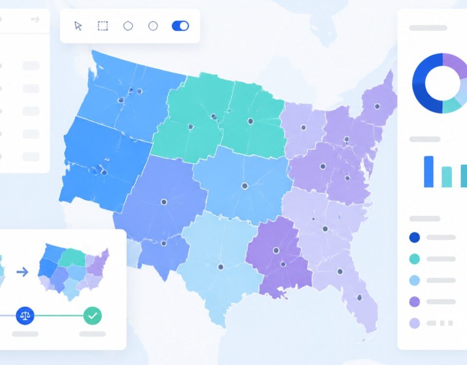
Satellite Mapping Software
Maptive Satellite View flips your map to real aerial imagery in 1 click, so every pin you uploaded sits on actual ground with roofs, parking, and access roads in plain view.
Satellite Detail Behind Your Markers
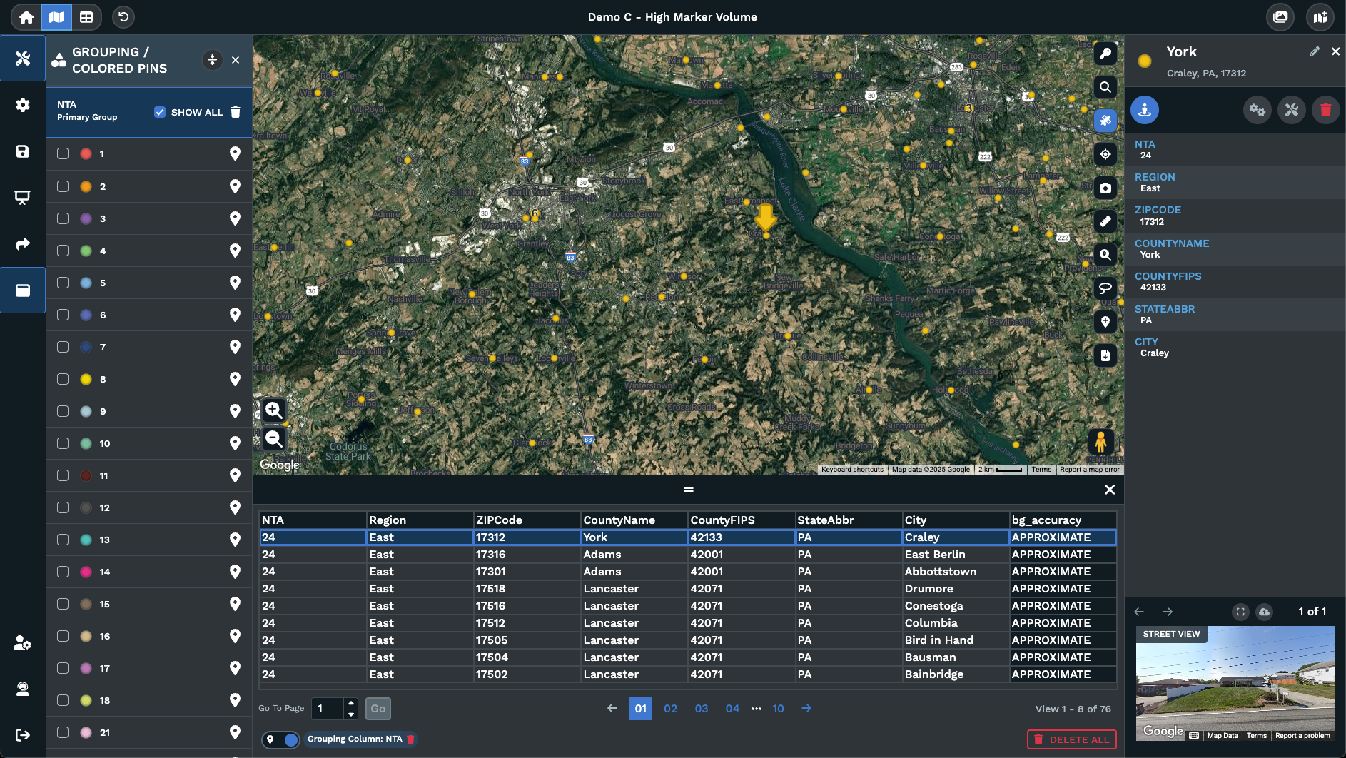
Right-side toggle button: Satellite View is a single button on the right of the map. Click it once for aerial imagery, then click it a second time to flip the view back.
Pins stay put on imagery: Your uploaded points, labels, and groupings render on top of the satellite layer, so nothing on the map gets rebuilt when you flip the view.
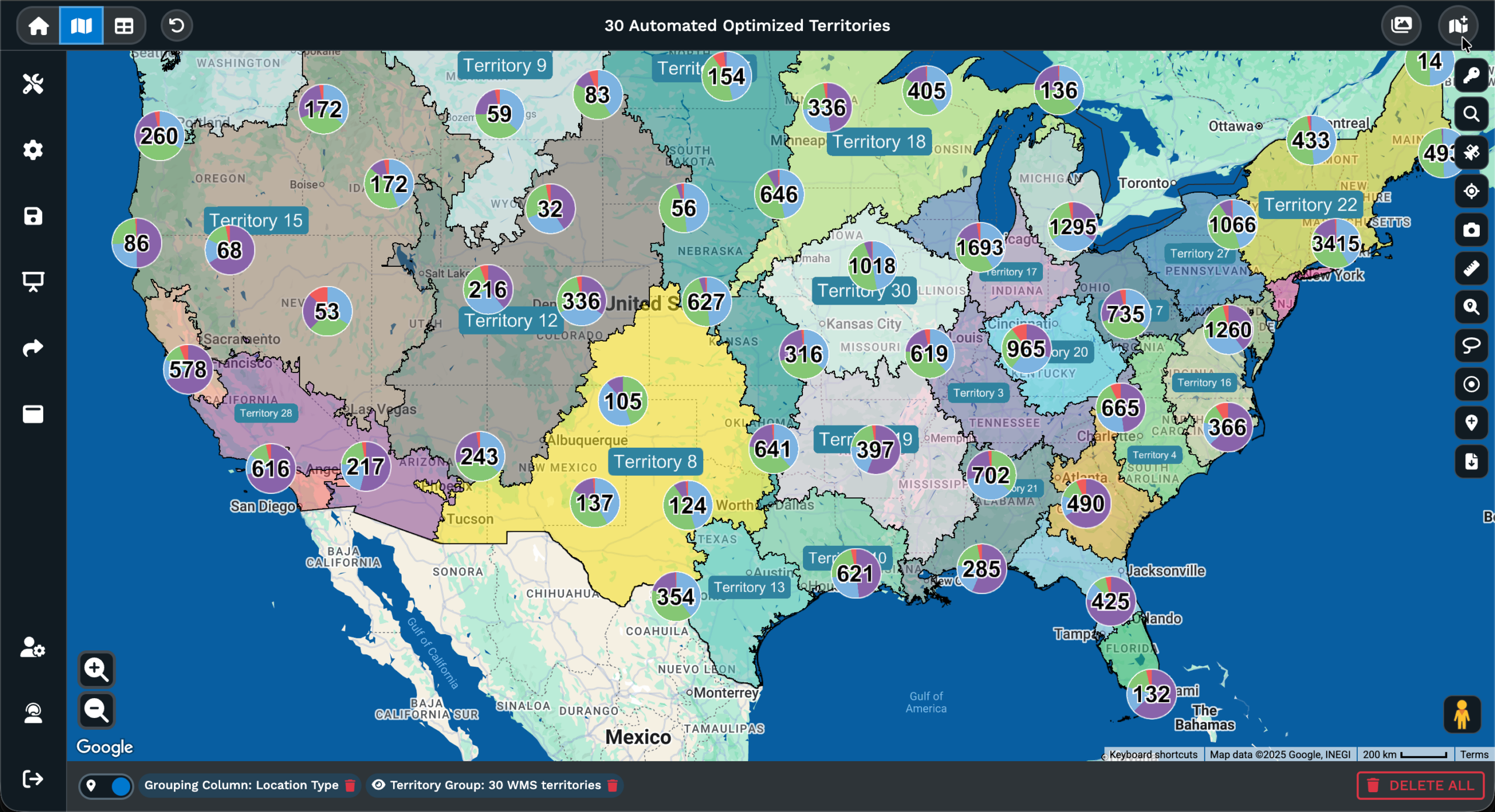
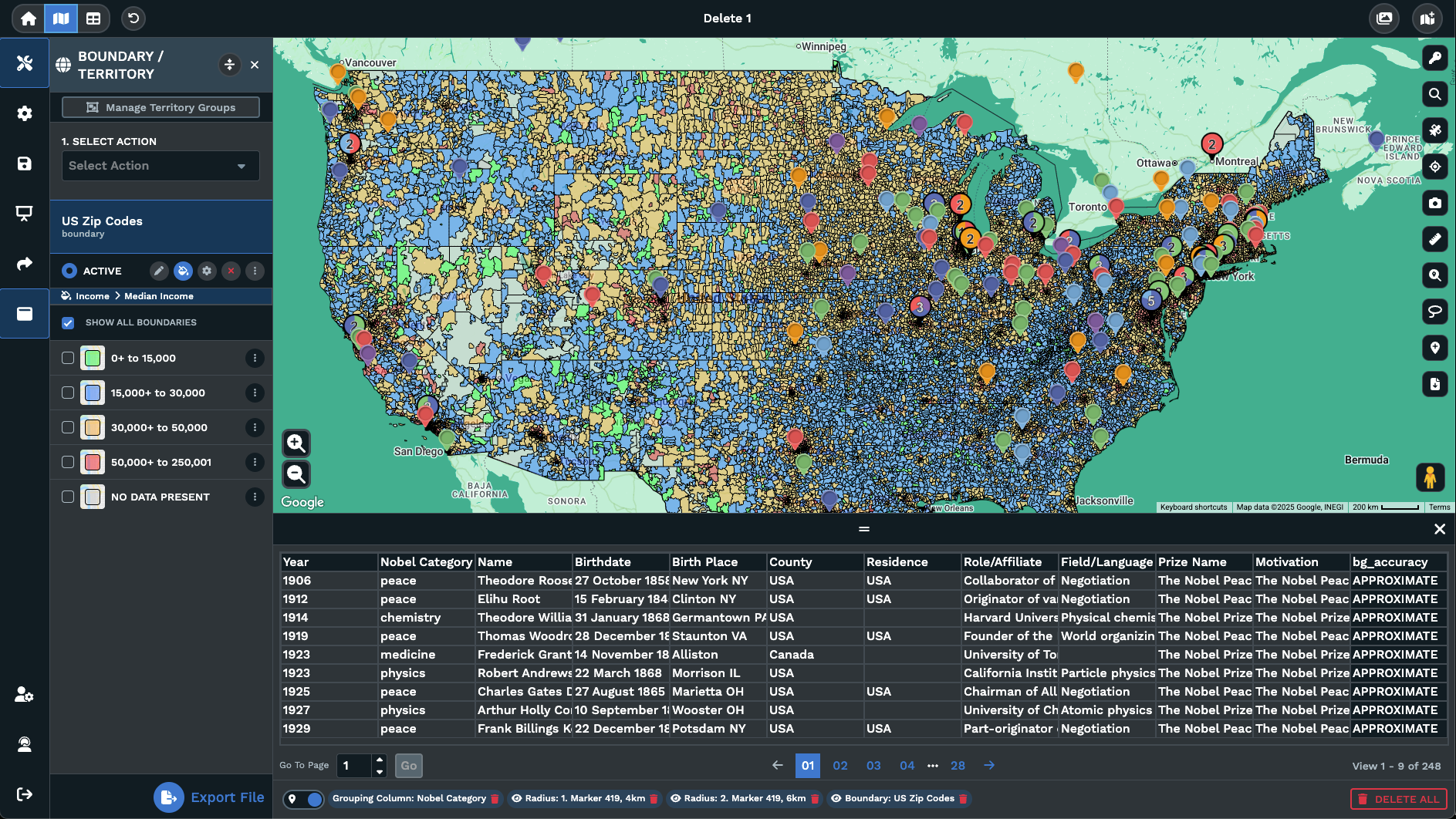
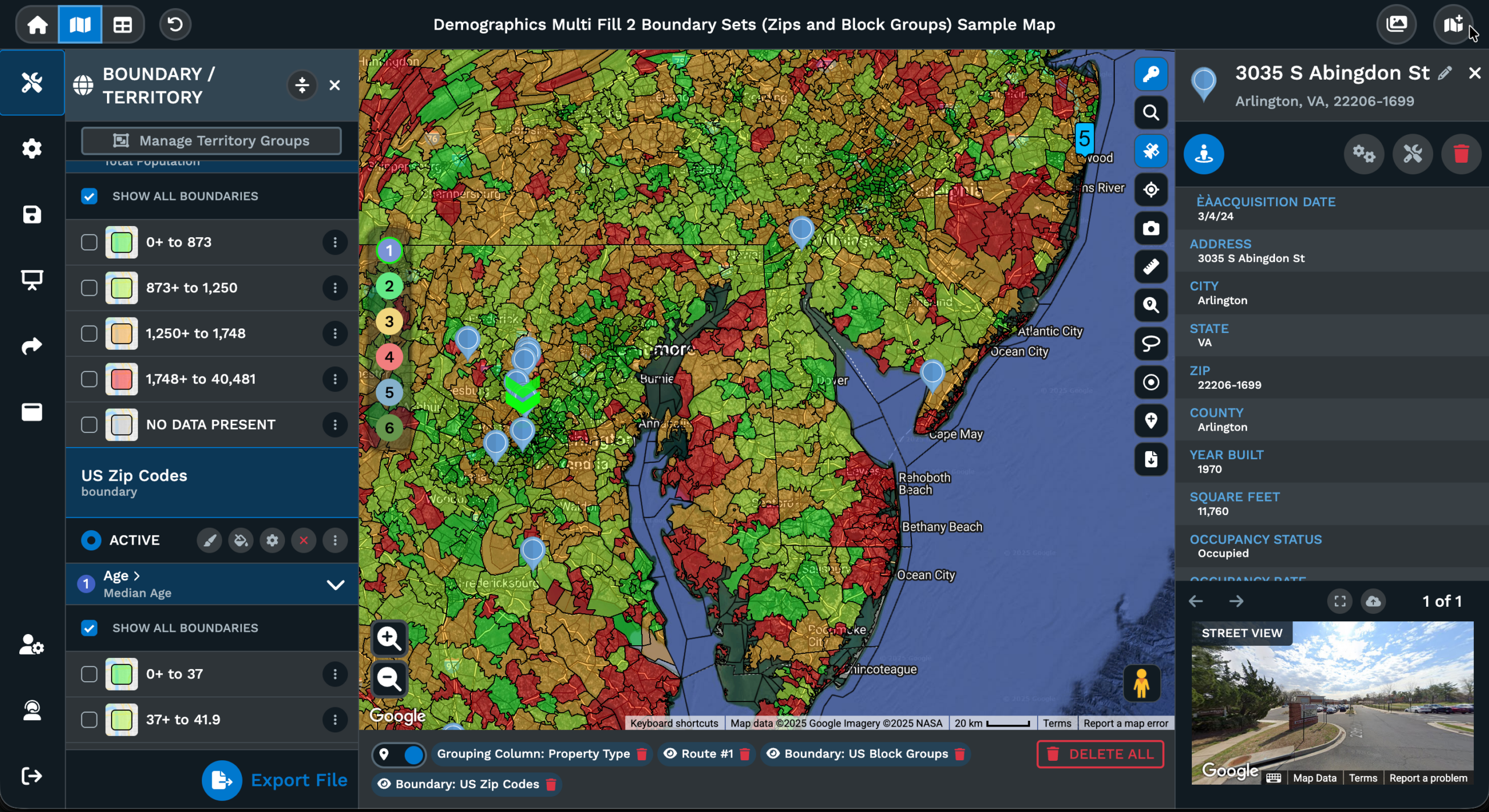
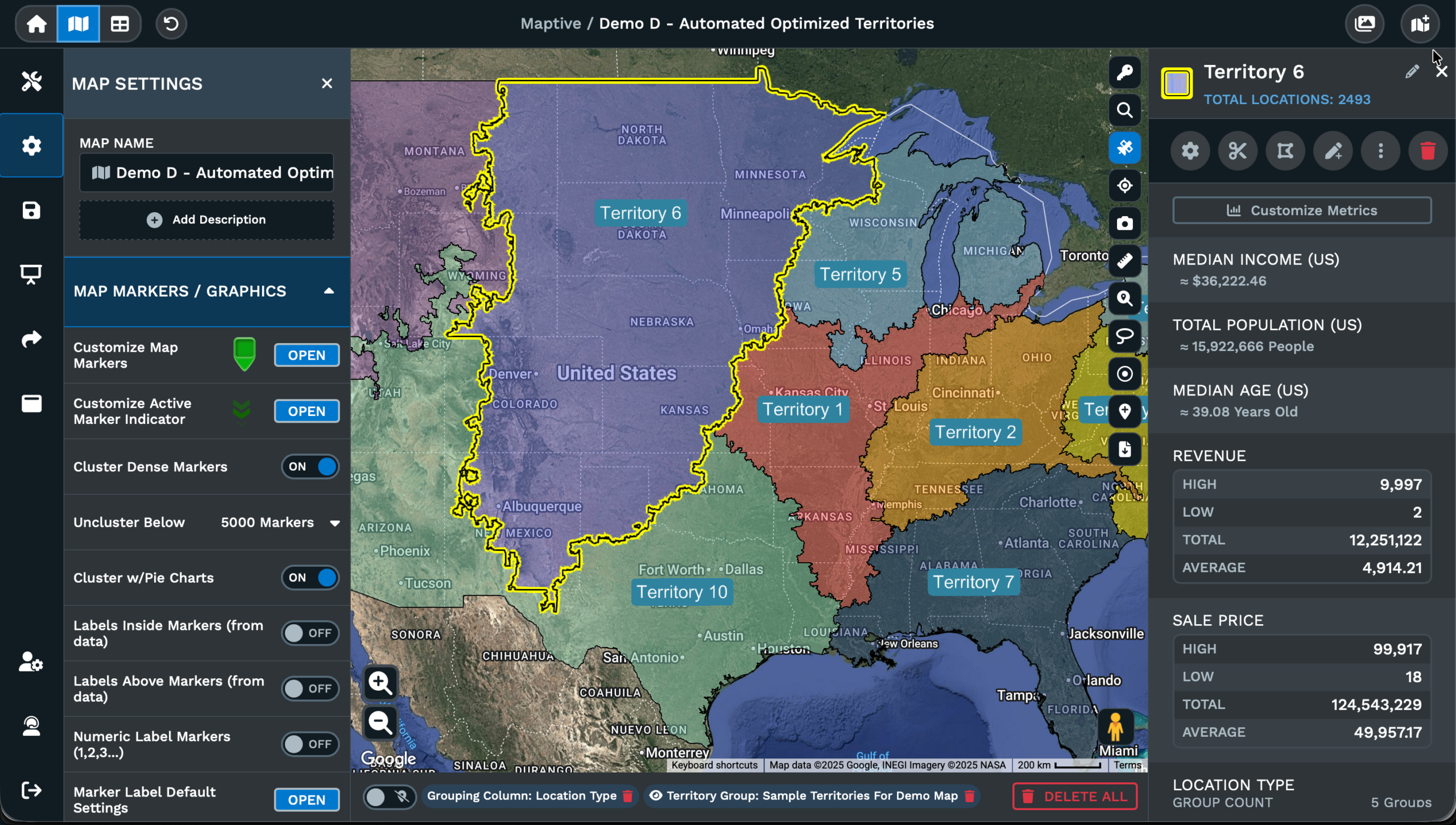
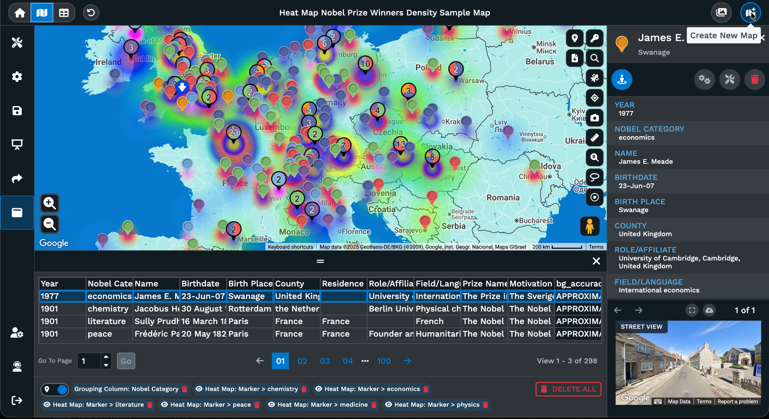
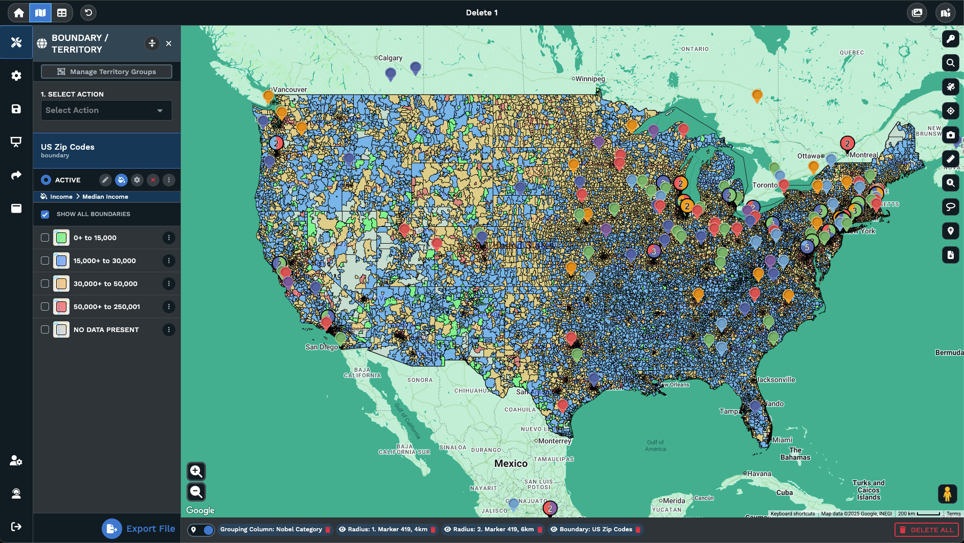
Works with active tools: Drive time polygons, radius circles, territories, and boundary fills all render on top of the aerial picture without a reload of any of the data.
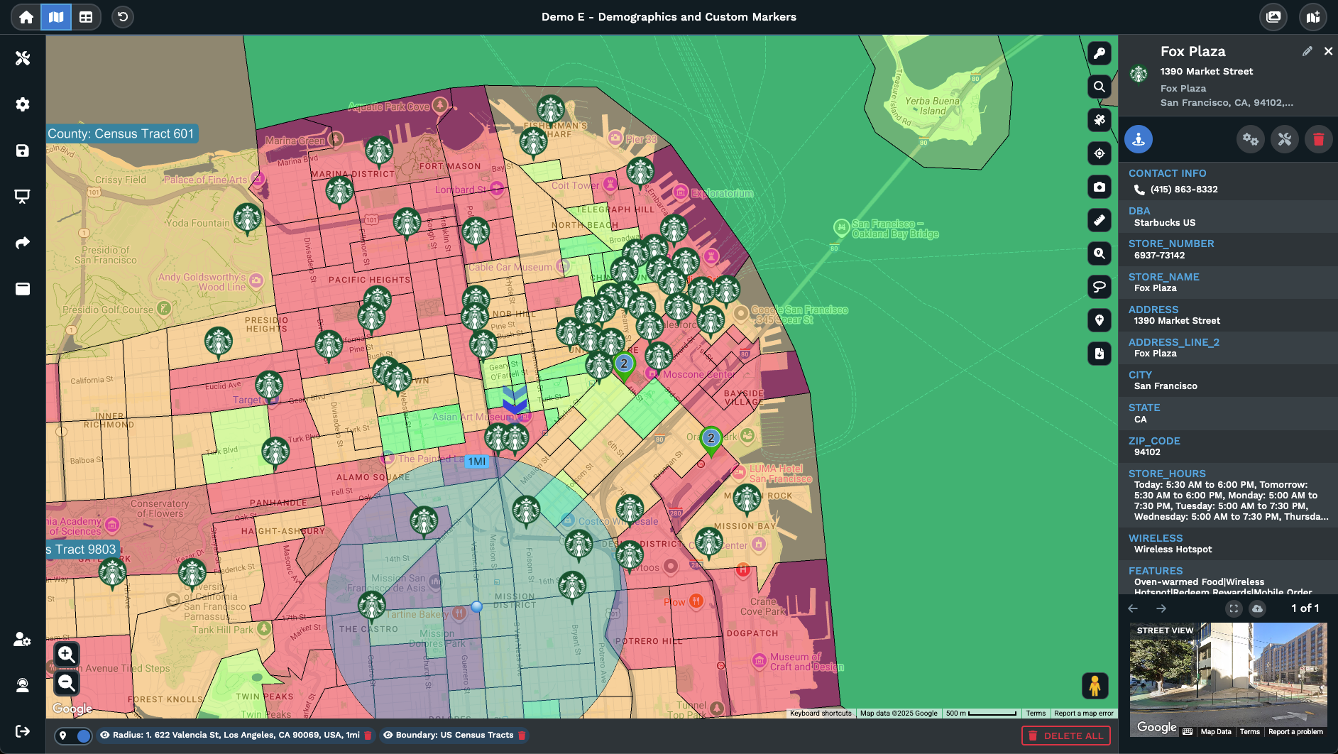
Ground truth at each point: You see roofs, parking, fences, driveways, and outbuildings near every pin, instead of a road layer with a label sitting near it on grey tile.
Rural and unmapped detail: Where road tiles run thin, satellite fills in gates, dirt roads, fields, and outbuildings, so you can read access before driving to a site.
Reversible at any zoom: Clicking Satellite View again returns the map to the base map style you had selected before, with zoom and center held where you left the map view.
Switch to Satellite in 3 Steps
1
Open
Open the Maptive map you already built, with pins, routes, or territories loaded the way you usually look at the data.
2
Click
Click the Satellite View button on the right of your map. Base tiles change to aerial imagery while your data stays put.
3
View
Each pin now reads against actual ground, with parking lots, roofs, fences, access roads, and parcel edges in 1 view.
Scout Before You Drive
Read Rural Access
Cross-Check Address Data
Map Land and Acreage
Plan Outdoor Venues
Track Active Projects
Aerial Map Reading for Decisions
Reading Imagery Inside Maptive
Most map views in Maptive open with roads, road names, points of interest, and a styled base layer underneath your data. Satellite View swaps the styled tiles for real aerial imagery on the same map. The toggle sits on the right side of the map and acts as a single-button switch, with a click flipping the view on and a second click flipping it off to return to the base map style.
Nothing about your underlying data changes when the imagery comes on. The pins you uploaded, the labels you set, the territories you drew, the radius circles, the drive time polygons, the boundary fills, the routes you optimized, all of it renders on top of the satellite tiles in the exact same positions. The view turns into a working surface where ground context and your own data read together at the same zoom level.
The behavior is reversible at any time during your session. Click the Satellite View button a second time and the map returns to the base map style you had selected before you flipped it, with zoom and center held where you left the canvas. That makes the imagery a low-cost check rather than a separate map you have to build from scratch, and the toggle can run as often as you need across a session.
Aerial Imagery Over Pins
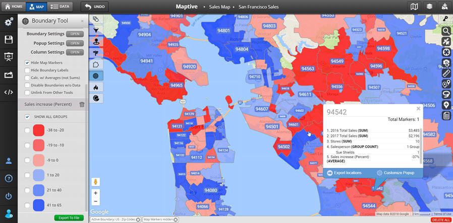
A pin on a styled street tile is an abstraction. A pin on real aerial imagery is a place you can read at a glance. Satellite View in Maptive keeps every pin you uploaded exactly where it was on the canvas and renders aerial tiles underneath it, so the marker now sits on actual ground rather than on a generic styled road layer with a single label next to it on a grey tile.
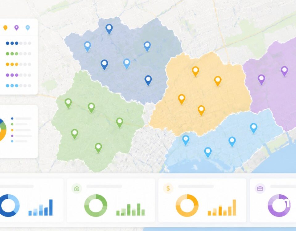
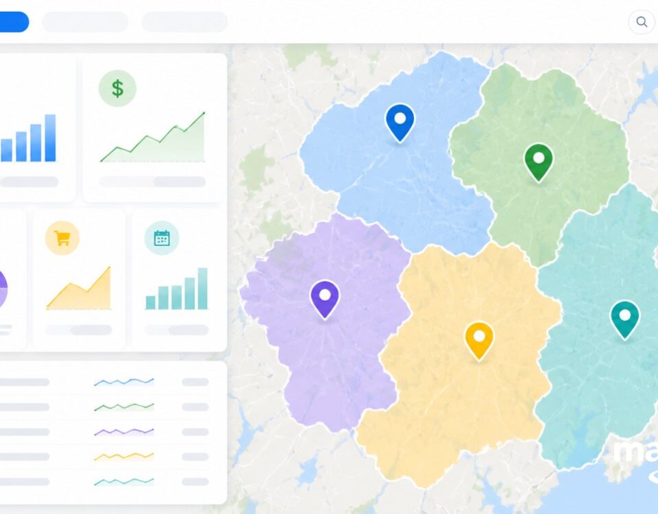
Marker grouping, labels, and any custom markers you already set on the canvas all carry over without any rebuild on your side. If you color-coded your pins by region, owner, or any column in your data, the colors keep reading on top of the satellite tiles. The same is true for clustering, marker filtering, and the popup window that opens when you click any pin to read its row of source data on the map.
That keeps the imagery useful for working with your own list rather than only for looking at a region from the air alone. Pull up the satellite layer to read parking lots, building footprints, fences, and access roads around the points that matter to you, then flip back to the styled base map when you want road names and route lines to read first. A single button handles both of those states across a session of work.
Reading Sites From Above
A road layer can tell you a street name and a turn-by-turn route, but it cannot tell you what is on the ground at a single site. Satellite View answers that second question on the same Maptive map for you. Once you click the button on the right side of the canvas, you read parking, roofs, fences, fields, driveways, and outbuildings around the pins in your data, all of it on real aerial tiles.
That matters when the work is physical. Site scouts read the parking lots, building footprints, and access roads next to each address before they ever schedule a visit. Field crews check gates, driveways, and outbuildings on rural pins so they are not standing at a locked entrance with the wrong plan. Event planners measure open ground and parking capacity from above for any venue they are weighing.
Dispatch teams use the same layer to confirm an address is the warehouse, the storefront, or the empty lot a row of source data claims to be. Project managers compare imagery against their own markers to read what is changing at a site between visits on the ground. The view never replaces the styled base map for road work, it sits as a single-button companion for any time the ground itself is the question.
FAQs About Satellite Image Maps
Can I use Satellite View on a map I already built?
Yes. Satellite View is a toggle that sits on top of any map you already loaded in Maptive. Click the Satellite View button on the right side of the canvas and the base tiles change to real aerial imagery underneath the pins, routes, polygons, territories, and overlays you already have set on the map. Click the button a second time and the map returns to the base map style you had selected before, with your zoom and center held in place on the canvas.
How do I switch to a satellite view of an address?
Upload the address into Maptive as a pin, open the map, and click the Satellite View button on the right side of the canvas. The map flips to aerial imagery centered on the same point on screen. Zoom in to read parking lots, building footprint, fences, and access roads at the address you are checking. Click the Satellite View button again to return to the base map style you had set, with your pin and zoom held where you left them on the canvas.
Does turning on satellite imagery remove my pins or labels?
No. The Satellite View toggle only changes the base tiles underneath your data on the canvas of the map. Every pin, label, color group, custom marker, popup window, radius circle, drive time polygon, boundary fill, territory, and route line stays in place over the aerial imagery. The view is a layer swap on the canvas rather than a fresh map for you. You can flip back and forth across a single session without rebuilding any of the data you uploaded to Maptive.
What does aerial imagery in Maptive show me?
You see the real ground around each pin. That covers roofs, parking lots, fences, driveways, outbuildings, fields, parcel edges, and the streets that feed each site, captured as photo tiles rather than as a styled road layer. The detail you read depends on the zoom level you are at. At wider zooms you read a region around the data, at tighter zooms you read a single parcel. Pair the imagery with your own pins to read each site in real context.
How is satellite imagery different from an aerial photo?
On a working map, both terms point to the same product for you. Satellite View in Maptive shows real overhead imagery of the ground, and a viewer reads it the same way a printed aerial photo reads on paper. You read the actual surface around each pin rather than a styled road layer underneath, in both of those cases. Anything you can read on an overhead photo of a site, you can read on the Satellite View of the same site.
Can I share a map that is set to satellite view?
Yes. The Satellite View setting carries over when you share, embed, or present a Maptive map with anyone outside the app. Anyone you send the link to opens the map with the same aerial imagery underneath the pins, polygons, and territories you set. They can also click the Satellite View button on their side to flip back to the styled base map if they want road names to read first. The toggle is preserved across the shared session for them.
Will my data still filter and group on top of imagery?
Yes. Marker grouping, filters, clustering, popup windows, and any color codes you set on the pins all keep working over Satellite View. If you filter by a column in your data, the visible pins update on the aerial imagery the same way they update on the styled base map underneath. The imagery is a backdrop, not a replacement for the data layer on the canvas of the map. Every interaction you had on a street map will run the same way for you.
Can I print or export a map in satellite view?
Yes. When you print or export the map from Maptive, the layer that is showing on screen at the moment is the layer that comes out. Set Satellite View on, set your zoom and center on the canvas, then run the print or export action from the map. The output renders the aerial imagery underneath your pins and overlays. If you would rather have a road map output, click Satellite View off first and run the same print or export from the styled base map.
How do I turn satellite view back off again?
Click the Satellite View button on the right side of the map a second time. The map drops the aerial tiles and returns to the base map style you had selected before you flipped it on the canvas. Pins, routes, territories, drive time polygons, and any other overlays stay in place at the same zoom and center on screen. The toggle works as many times as you want across a session of work on the same map you already opened.
Is Maptive useful for site scouting without driving out?
Yes. Satellite View is built for that kind of desk work for you. Load a list of addresses into Maptive, open the map, click Satellite View on the right side of the canvas, and read parking, building footprints, fences, and access roads around every pin from your desk at home. Drop notes or extra pins on anything worth a closer look on the imagery. A first-round due diligence pass on a long list of sites finishes before any visit on the ground.