


Location intelligence is a review process that affects the way a company chooses its locations. 67% of failed retail locations had shown warning signs in their own site-selection data before the decision closed.
The cost of that omission is a $2-4 million build-out and 18-24 months of management attention. The lease obligation persists for the full term regardless of how the store performs. The same review question applies to sales territory design, where the lines are drawn once and rarely checked against a map again.
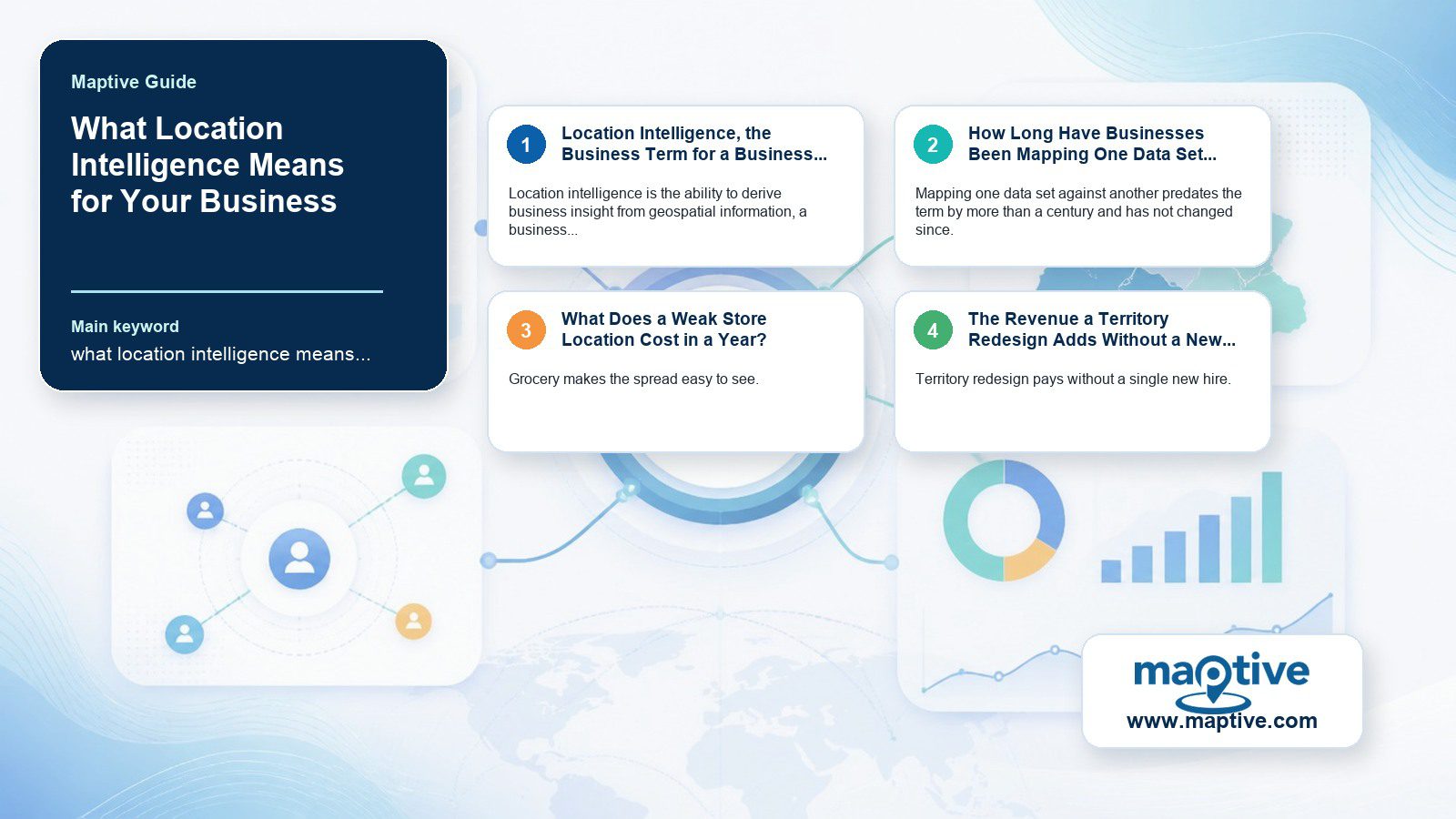
Location Intelligence, the Business Term for a Business Problem
Location intelligence is the ability to derive business insight from geospatial information, a business term for a business problem. GIS is the technical foundation underneath it, the specialist toolset for storing and processing spatial data. The two are treated as synonyms often enough that buyers arrive at a GIS vendor with a business question.
Business intelligence tells an operator what happened inside the business, a revenue drop in one region last quarter. Answering where the drop came from means reading the company’s own records against what is outside them, a competitor who opened three stores inside the best catchment area while two of the operator’s branches began overlapping. That map often shows an empty site nearby with enough of the lost demand still in range to be worth a lease.
How Long Have Businesses Been Mapping One Data Set Against Another?
Mapping one data set against another predates the term by more than a century and has not changed since. In 1854 John Snow drew London’s cholera cases onto a street map alongside the neighborhood water pumps, and the deaths clustered around a single contaminated pump on Broad Street. The pattern was visible only once the case list and the pump positions were on one sheet of paper.
Roger Tomlinson coined “Geographic Information System” in a 1968 paper and had been building Canada’s national GIS since 1963, work that earned him the title father of GIS. The applied business version arrived much later. Wayne Gearey taught the first university course specifically on location intelligence in 2012 at the University of Texas at Dallas, framing it as the process for choosing a location that supports a company’s financial and workplace goals. A $2-4 million build-out decision is the exercise Snow performed, checking one data set against another before capital is committed.
What Does a Weak Store Location Cost in a Year?
Grocery makes the spread easy to see. A store in a strong catchment turns over $15-20 million a year, while an operator running an identical assortment finishes more than $8 million short in a weak one. Merchandising cannot close a shortfall that size, and the lease commits the operator to the catchment for a decade before it can be revisited.
The loss arrives slowly enough to be tolerated. A location down $5,000 a week is $260,000 in year one and passes $1,000,000 by year four. Week by week the variance stays inside the range a regional manager would put down to weather.
Expansion has its own version of the problem, since opening too close to an existing location can cannibalize 22% or more of the older store’s sales. What the company booked as growth becomes a transfer of revenue from one register to another.
Reading the same records before the decision pays in the other direction. Vendor case studies on data-driven site selection put the reduction in time to evaluate a candidate site at 80%. Those teams also work through five times as many candidate locations without dropping the quality of the analysis. Payback periods shorten by close to 40%.
The Revenue a Territory Redesign Adds Without a New Hire
Territory redesign pays without a single new hire. The gains come from redrawing lines that already exist, around accounts and reps whose positions the company has been recording for years and has never plotted against each other.
A redesign lifts top-line revenue by 2-7% against the 15-25% of sales capacity misaligned territories waste. Companies working well-managed maps report 30% higher attainment against sales objectives. Eliminating overlap and rerouting reps adds 20% to actual selling hours in the first year and cuts localized travel costs by 15%.
Internal misalignment is named as a revenue cost by 92% of sales and revenue leaders, roughly a fifth of whom have work underway against it. Yet in the rest, the boundaries from the last redesign are the boundaries reps are working now. A figure nobody has traced to a study puts highly aligned organizations at 72% more profitable than misaligned peers, with poorly aligned companies losing an average of 4% of annual revenue.
When Does the Cost of a Bad Site Choice Become Visible?
Cost becomes visible when an operations manager asks why a site was chosen and no one can produce the analysis behind it. The data that would have answered the question has been in the company’s own files since before the lease was signed.
Months later, a data-backed call can still be reconstructed and challenged. A bad one can be corrected before the next site goes to committee.
Companies that close that distance do it procedurally, by putting a review step in the approval path where the data behind a site has to be shown before anyone signs.
The Analyst or Operations Manager With No Geospatial Training
Buyers in this category are analysts and operations managers with a business problem and no geospatial training. Treating location intelligence as GIS with a new label puts them in front of specialist software. The company then pays a specialist license for capability the job never calls for.
BP’s One Map program is what the work looks like when a company treats it as infrastructure. The program built a shared platform and a governance practice for moving data between teams, then extended both across exploration and retail operations. Rogers Communications put the capability on its switchboard, routing a service call by the caller’s location alongside the qualifications of the agents free to take it.
Specialist assumptions survive inside the products. Across the category’s top-rated GIS-grade tools, “learning curve” and “expensive” are near-universal complaints. Per-seat sharing fees keep an analysis inside the team that bought the license, and the reviewer titles on those tools skew to GIS Analyst and GIS Specialist. On the owner-operator side of the 265 tracked products and 36,700 verified reviews behind that reading, averaging 4.39 out of 5 as of July 2026, presidents and owners dominate instead. Cost and accessibility are what they name as friction.
The Radius Bands and Territory Maps Maptive Draws From One Data Set
Software covers a narrower job than the habit it serves. Maptive draws radius and mileage bands around a site and turns a spreadsheet of accounts into a territory map, either by hand with adjustable boundaries or through an automated tool with three named build options. Heat mapping shows where the accounts concentrate, and route optimization covers up to 73 stops, all of it read from one uploaded data set.
None of it extends into the operational work that follows a decision. Maptive does not do the following:
Schedule jobs
Manage work orders
Dispatch technicians in real time
Track technician status
Send real-time mobile alerts
The boundary matters at evaluation, when a procurement list written for an all-in-one operations platform will not match what this category sells.
Frequently Asked Questions
What is location intelligence?
It is the process of deriving business insight from geospatial data relationships.
Is location intelligence the same as GIS?
No. GIS is the specialist software layer where spatial data is stored and processed, and location intelligence is what an operator does with it once the question is a commercial one.
What is the difference between business intelligence and location intelligence?
Business intelligence answers what happened inside the business from internal structured data, and location intelligence picks the question up where those records end, at the competitor who opened nearby or the catchment that changed around the store.
What industries use location intelligence?
Location intelligence shows up across several industries:
Telecommunications: network planning
Financial services: branch optimization
Government: redistricting, emergency response
Healthcare and retail: site selection
Insurance: underwriting by geography
Transportation: route monitoring
What are examples of location intelligence in use?
BP’s One Map program extends it across exploration and retail as a shared capability. Rogers Communications routes service calls using caller location alongside agent qualifications. Starbucks moved toward geographic site analysis after underperforming openings.
Who invented location intelligence?
No single inventor gets credit for the term. John Snow’s 1854 cholera map, layering case locations against water-pump locations, is the commonly cited founding example.
How big is the location intelligence market?
2026 estimates range from $23.58 billion to $28.72 billion depending on scope, with growth projected past $60 billion by the early 2030s.
Do you need a GIS specialist to use location intelligence?
No. Adoption has moved toward business analysts and operations managers without a geospatial background, though a steep learning curve is the most common complaint about GIS-grade tools built for specialists.
What is the biggest misconception about location intelligence?
That it is a piece of software. The buying decision usually stops at a specialist GIS license and the learning curve attached to it, while the part that changes outcomes is the review step forcing site data onto the table before anyone signs.
Is location intelligence strategic or purely operational?
It functions as a strategic lever when it changes how a company competes, the way Rogers Communications uses caller location to improve retention.
What data goes into a location intelligence analysis?
A location intelligence analysis commonly combines several data types spatially:
Customer and account locations
Demographics, competitor positions
Traffic patterns
Does location intelligence replace gut-feel decision-making entirely?
Not entirely. A data-backed call can be reconstructed and reviewed afterward, while an intuition-based one usually cannot be explained after the fact.