
ZIP codes persist in franchise territory design because they are convenient to look up and easy to attach to a contract, not because they describe how customers move. For nearly every consumer-facing franchise vertical, the drive-time isochrone is the only honest territory primitive, and the data to compute it already exists inside the system.
The U.S. Post Office Department launched the Zone Improvement Plan on July 1, 1963. Annual mail volume in the United States had doubled from 33 billion pieces in 1943 to 66.5 billion in 1962, and the average letter passed through 17 sorting stops before delivery. ZIPs were a sorting solution for that backlog. They were not a consumer-geography product, and 63 years of franchise practice has not made them one.
The working answer is to design the territory with drive time and contract it with ZIPs. The rest of this piece explains why.
The Postal Origin of the ZIP Code
A ZIP code is a label attached to a sequence of delivery stops. Robert Moon, a postal inspector, proposed the first three digits in 1944. H. Bentley Hahn added the last two. The five-digit code’s first digit designated a region of the country, and the subsequent digits localized the destination down to a sectional center facility and a delivery zone. The design objective was sorting throughput, not market analysis.
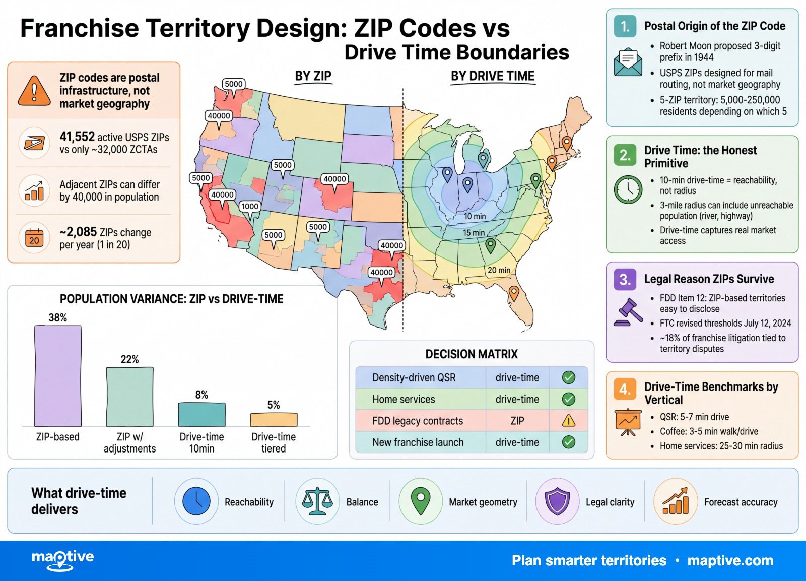
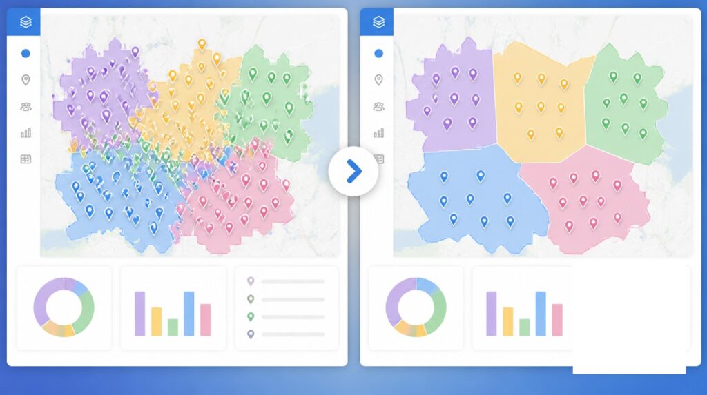
This origin produces three structural defects that no amount of franchise-mapping software can repair. First, USPS does not publish official ZIP code boundary polygons. ZIPs are a collection of delivery routes, not areas. Every “ZIP boundary” map a franchisor has ever seen is an approximation drawn by the Census Bureau or a third party. The Census product, called a ZIP Code Tabulation Area or ZCTA, is built by aggregating Census blocks whose addresses use a given ZIP, using the ZIP held by the majority of addresses in each block. There are 41,552 active USPS ZIP codes as of 2024 but only around 32,000 ZCTAs, because ZIPs that serve only PO boxes or single large recipients have no Census polygon.
Second, two adjacent ZIPs can differ by 40,000 in population. A five-ZIP territory can contain anywhere from 5,000 to 250,000 residents depending on which five ZIPs land inside it. The boundaries are irregular because USPS draws them around carrier-route efficiency. Dense urban blocks produce small, compact ZIPs. Rural areas require ZIPs that snake along delivery roads to capture enough addresses to justify a route. The shapes track mail-truck logic.
Third, ZIPs change. Approximately 2,085 USPS ZIP codes change every year, roughly 1 in 20. ZIP+4 changes more frequently. Over 1,000 ZIPs have been decommissioned as post offices have closed or routes consolidated. A franchise territory tied to a 2018 ZIP list does not match the 2026 postal reality, and when USPS realigns a boundary, the territory can shrink or expand without any party to the franchise agreement consenting.
Drive Time as the Honest Territory Primitive
An isochrone is a line on a map connecting all points reachable from a central origin within an equal amount of travel time. The word combines iso (equal) and chrone (time). The earliest published isochrone map was Francis Galton’s 1881 Isochronic Passage Chart for Travellers, produced for the Royal Geographical Society, which showed travel times from London to the rest of the world. It was the first thematic map to depict the world in time rather than distance.
Modern drive-time isochrones run a shortest-path algorithm such as Dijkstra or A* outward from the origin across a road network graph, stopping when the cumulative travel cost equals the target time budget. The outer envelope of reachable nodes becomes the polygon. Inputs include road class, speed limits, turn restrictions, and live traffic. Open-source engines such as OSRM, openrouteservice, and GraphHopper use OpenStreetMap data. The openrouteservice 6.3.0 release in 2024 introduced partitioning techniques that reduce computation time substantially, which matters because a franchise platform generates hundreds or thousands of isochrones in a single planning session.
A drive-time polygon describes reachability. That is what every consumer-facing franchise’s trade area has always been trying to measure. A radius ring assumes customers travel as the crow flies, ignoring roads, rivers, highways, lakes, and one-way streets. Published comparisons from major business-analyst toolchains estimate drive-time isochrones at roughly 2.5x more accurate than equivalent-distance circles for retail catchment estimation, particularly in areas with water bodies or freeway stretches that have no exits. A 3-mile radius around a store on one side of a river can include population the store cannot serve because there is no nearby bridge. The 10-minute drive-time polygon around the same store excludes that population correctly and extends further along the road network on the accessible side.
The Huff model, formulated by David Huff in 1963, predicts the probability that a consumer at location i will visit retail location j as a function of j’s attractiveness and the travel cost to j relative to competing alternatives. Empirical Huff studies confirm that substituting drive-time for Euclidean distance produces stronger fit for grocery, apparel, fuel, and dining trade areas. These are the verticals where the bulk of franchise systems operate. A 2024 review in the Journal of Retailing and Consumer Services concluded that observed mobile-location data outperforms drive-time isochrones on accuracy, but isochrones still outperform fixed radii and ZIP aggregates. The practical ladder runs ZIP under radius under drive-time under observed-visit data, and most franchise systems sit at one of the two lower rungs while the data to climb has been available for a decade.
The Legal Reason ZIPs Survive
If drive time describes the trade area more accurately, the question is why anyone still writes franchise agreements around ZIP lists. The answer is legal, not technical. A list of ZIPs is unambiguous to a court. A live-traffic-adjusted isochrone is not.
Item 12 of the Franchise Disclosure Document is one of 23 required disclosure items under 16 CFR Part 436, the FTC Franchise Rule. It must describe the location and territory granted, the franchisor’s and franchisee’s rights inside the territory, and any franchisor plans to operate competing channels such as online sales or other distribution. The minimum territory size in an FDD is typically described by assigning a set of ZIP codes, defining a specific radius, or another similarly specific designation. ZIP lists are easy to attach to a contract because the unit being granted is enumerable. Effective July 12, 2024, the FTC revised the monetary thresholds for three Franchise Rule exemptions and left the Item 12 territory disclosure requirements intact.
Territorial disputes account for approximately 18% of all franchise litigation, the second most common source of franchisor-franchisee conflict after royalty and compliance disputes. The recurring root cause is ambiguity in how the territory was drawn, through ZIPs that moved, radii that overlapped, or “drive time” that was never defined in writing. When the territory is defined by something the franchisor controls, the franchisor remains in command of any future change. When it is defined by something the franchisor does not control, the franchisor invites disputes about boundaries moving under the franchisee’s feet. USPS ZIP realignments and live-traffic isochrones both fall into the second category, which is why franchise attorneys recommend that any territory exhibit include the visual map and a precise machine-readable list, such as ZIPs, GPS coordinates of polygon vertices, or census-tract IDs.
The other vocabulary trap is “exclusive” versus “protected.” In an exclusive territory, the franchisee is shielded from all brand competition, including the franchisor’s own units and channels. In a protected territory, no other same-brand franchisee or company-owned unit may open inside the boundary, but the franchisor reserves rights to sell online, through mobile units, big-box channels, and other non-traditional venues into the same geography. Franchise attorneys advise franchisors against using the word exclusive unless they are willing to live with it absolutely.
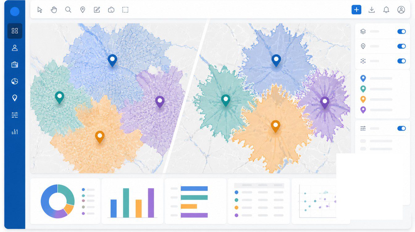
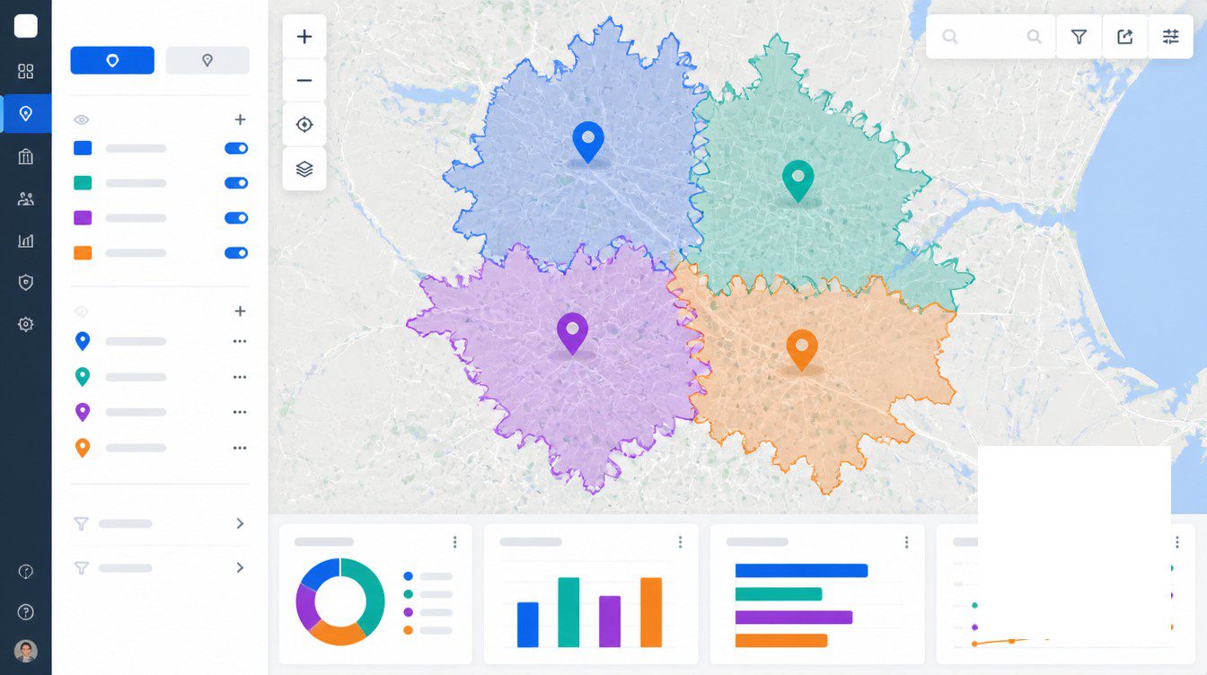
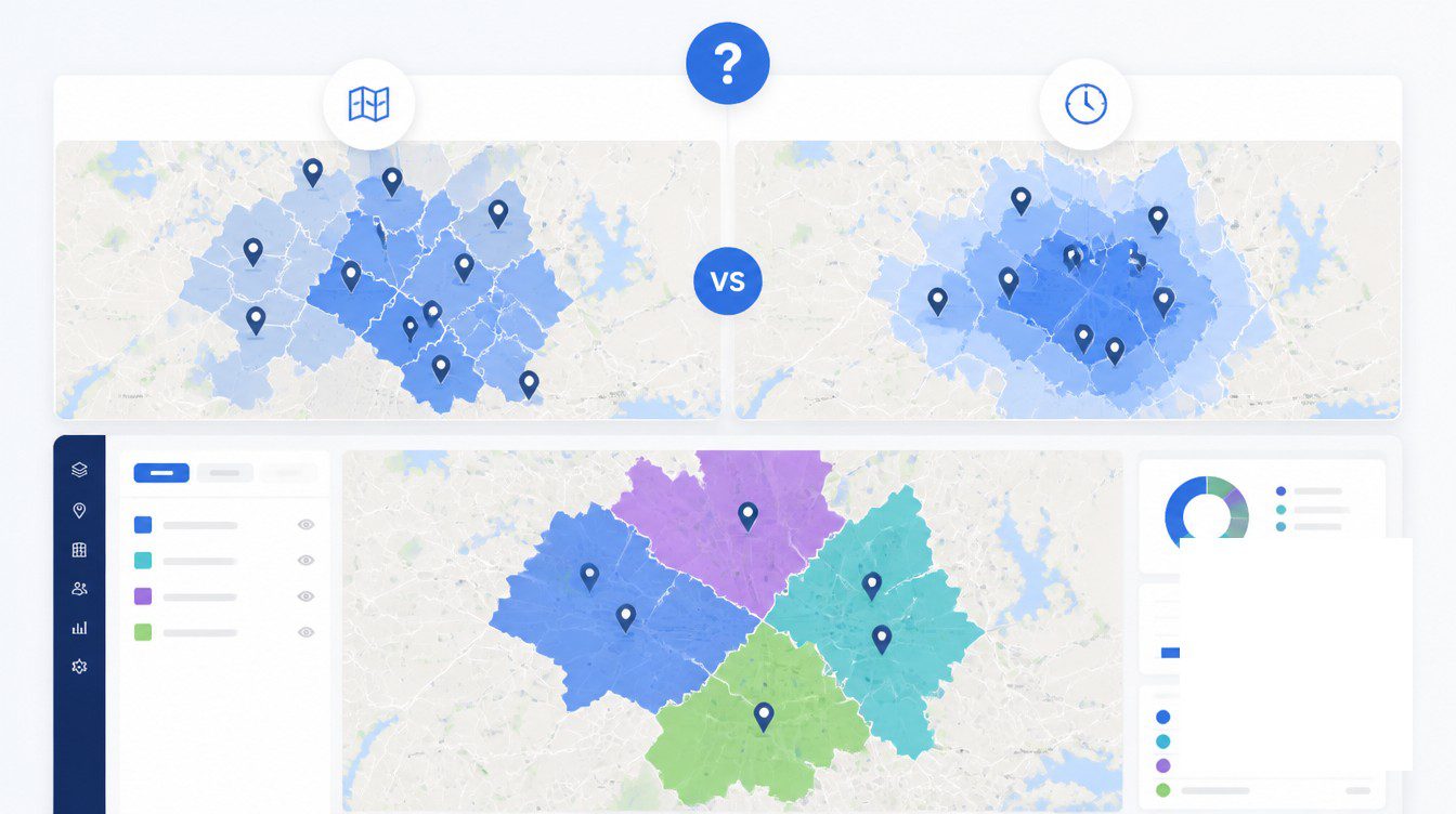
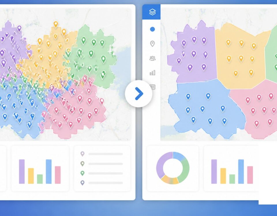
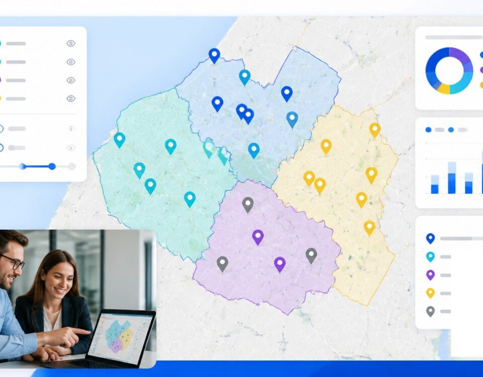
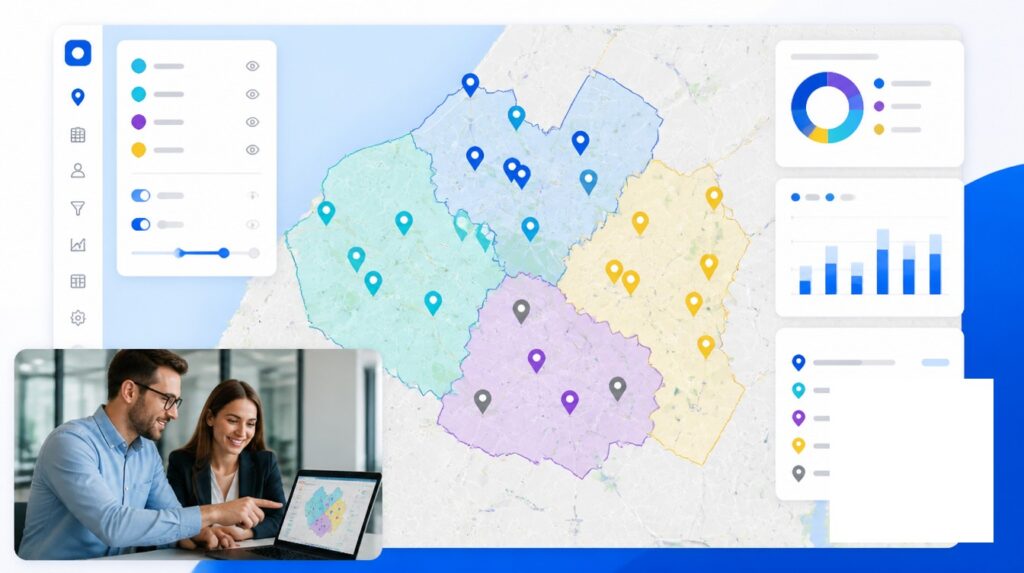
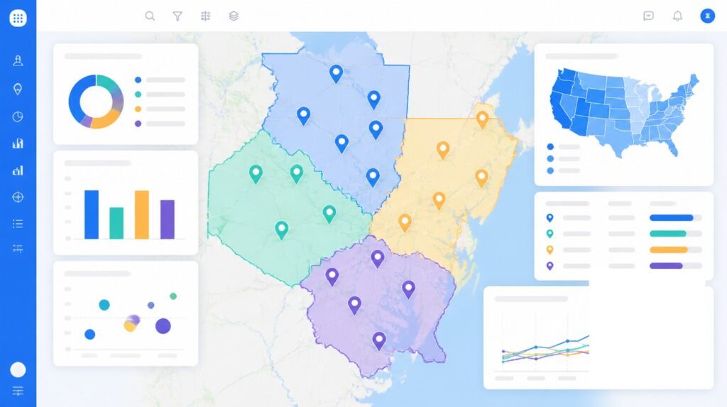
The mature workflow follows from these facts. Design the territory using drive-time isochrones or a population-target polygon. Translate the final shape into a ZIP code list for the legal exhibit. The boundary stays defensible in court because the list of ZIPs is enumerable, and the underlying design stays behavior-based because the polygon was drawn around customer reachability before any postal codes were attached. This is the practice documented across modern franchise-mapping literature, and it resolves the apparent ZIP-versus-drive-time conflict by using each tool for what it does best.
Drive-Time Benchmarks by Franchise Vertical
The correct drive-time band is not universal. It depends on who travels to whom and how frequently the visit happens. A coffee customer drives to the store. An HVAC technician drives to the customer’s house. The two trade areas have different geometries because the cost of the trip falls on a different party.
Quick-Service and Casual Restaurants
QSR primary trade areas sit at 5 to 7 minutes of drive time, roughly a 1 to 3 mile radius depending on density. That primary trade area generates 60 to 70% of revenue. Fast casual reaches 7 to 10 minutes. Casual dining stretches to 10 to 15 minutes. The bands compress because restaurant visits are frequent and time-sensitive, and the marginal customer past 15 minutes does not appear often enough to bend the territory shape around.
Home Services
HVAC, plumbing, pest control, cleaning, and restoration franchises typically use 20 to 30 minute truck-dispatch isochrones. The band is wider because the franchisee absorbs the driving cost, not the customer. The trade area is the area the truck can profitably reach, not the area a customer would choose to drive to. Many of these systems retain ZIP as the lead-routing layer because the customer types a ZIP into the website form long before any truck is dispatched. The hybrid is drive time for the territory boundary and ZIP for the inbound-lead handoff.
Specialty Retail and Destination Concepts
Category specialists draw 15 to 25 minute drive-time bands. A customer who visits twice a year will drive farther than one who visits twice a week. The band scales with visit frequency. Destination concepts trade frequency for distance and design their territories around the longer trip.
Mail-Order and Route-Delivery Franchises
ZIP-based territories make sense for B2B distribution, route-delivery brands, and mail-fulfillment franchises because the operational unit of work, a delivery stop or a mailing, is itself organized around USPS routes. The territory primitive matches the operating primitive. This is the narrow class of franchises where ZIP is the right tool rather than a legal compromise.
The decision is not ZIP against drive time as competing answers. The franchisor either designs the territory around customer behavior and translates that shape to ZIPs for the legal exhibit, or designs around USPS routes and discovers at renewal that the territory no longer matches where the customer lives. Renewal cycles are now the pressure point. Agreements signed 10 to 20 years ago with pure-ZIP territories are reaching renewal in 2024 to 2026, and legacy ZIPs no longer match the franchisee’s actual customer geography. Renewals that convert from ZIP to drive time generally require franchisor concessions on protected-population minimums, which is a price worth paying once. Drawing the territory honestly the first time avoids paying it at all.
Frequently Asked Questions
What is the difference between a ZIP code territory and a drive-time territory in franchising?
A ZIP code territory is defined by a list of USPS postal codes attached to the franchise agreement. A drive-time territory is defined by a polygon enclosing every road reachable from the franchisee’s location within a stated number of minutes, commonly 5, 10, or 15. ZIPs are tied to postal carrier routes. Drive-time polygons are tied to road networks and match how customers actually travel.
Are ZIP code franchise territories outdated?
For most brick-and-mortar and home-service franchises, yes. ZIP codes were created by USPS in 1963 for mail-carrier routing, not consumer behavior. Modern franchise systems still use ZIP lists as the legal exhibit but design the underlying territory using drive-time or population-target methods.
What is an isochrone in mapping?
An isochrone is a line on a map connecting all points reachable from a starting location within an equal amount of travel time. The polygon enclosed by the isochrone is the area you can reach by car, foot, transit, or bike in that time budget. The earliest published isochrone map was Francis Galton’s 1881 chart of travel times from London.
How is a drive-time territory calculated?
A routing engine builds a graph of the road network, typically from OpenStreetMap or a commercial dataset, runs a shortest-path algorithm such as Dijkstra outward from the origin point, and stops when the cumulative travel cost equals the target time budget. The outer envelope of reachable points becomes the polygon. Modern engines add speed limits, turn restrictions, and live traffic.
Is a drive-time territory more accurate than a radius for trade area?
For most trade-area work, yes. A radius assumes customers travel as the crow flies. Published business-analyst comparisons find drive-time isochrones approximately 2.5x more accurate than equivalent-distance circles for retail catchment estimation, particularly in areas with rivers, freeways, or other travel barriers.
How often do ZIP codes change?
On average, approximately 2,085 USPS ZIP codes change every year, roughly 1 in 20. ZIP+4 codes change more often than five-digit ZIPs. A franchise territory tied to a static ZIP list in a 2018 agreement does not match the 2026 postal reality.
What is the difference between a ZIP code and a ZCTA?
A ZIP code is a USPS sorting and carrier-route identifier. A ZCTA is a Census Bureau area polygon built by aggregating Census blocks whose addresses use a given ZIP. USPS adjusts ZIPs throughout the year as routes change. ZCTAs are anchored to the decennial Census. The boundary shapefile most franchise mapping tools use is a ZCTA file, not a true USPS ZIP boundary.
What is FDD Item 12?
Item 12 of the Franchise Disclosure Document is the required disclosure section covering territory. It must describe the location and territory granted to the franchisee, the franchisor’s and franchisee’s respective rights inside the territory, and any franchisor plans to operate competing channels such as online sales or other distribution.
Can a franchisor change my territory after I sign?
It depends on the agreement. If the territory is defined by ZIP codes and USPS realigns those ZIPs, the territory can effectively change without anyone’s signature. If exclusivity is conditioned on performance such as minimum sales volume or market penetration, the franchisor may have contractual rights to reduce the territory. FDD Item 12 must disclose the circumstances under which territory can be altered.
What is the difference between an exclusive territory and a protected territory?
In an exclusive territory, the franchisee is shielded from all competition by the brand, including the franchisor’s own units and channels. In a protected territory, no other same-brand franchisee or company-owned unit can open inside the boundary, but the franchisor typically reserves rights to sell online, through mobile units, big-box channels, or other non-traditional venues into the same geography.
Should I design my franchise territory with ZIP codes or drive time?
Design with drive time, or a population-target polygon, so the territory matches actual customer behavior. Translate the final shape into a ZIP code list for the FDD legal exhibit. This keeps the boundary defensible in court because the list of ZIPs is unambiguous, and it keeps the underlying design behavior-based.


