


Partner Service-Area Coverage & Capability Matching
Match every lead to a partner who covers the address and can do the job. Maptive maps each partner’s service area, tags its capabilities, and finds the covering one.
No credit card required
- Draw each partner’s coverage area from ZIP codes, FSAs, radius, or drive time
- Tag services, certifications, licenses, and product lines on the marker
- Plot up to 200,000 partners, service areas, and open leads on one map
- Color-code partners by status, tier, or capability with the Grouping Tool
- Publish a Location Finder that returns the partner covering an address
- Lock one coverage area per partner and re-share with view-only or edit access
Trusted by teams at









Coverage Assignment in Brief
Everything you need to match a lead to the partner who covers the address and can do the job sits inside one platform, on your real roster.
Matching leads to a covering, capable partner cuts routing time by about 37%.
Sending work to a partner who can do it lifts first-visit completion by 23%.
Mapping every service area surfaces about 29% more uncovered ground.
The Build Behind Each Partner’s Coverage
Draw the service area, tag the capabilities on the marker, and publish an address search that returns the covering partner.
| 01 |
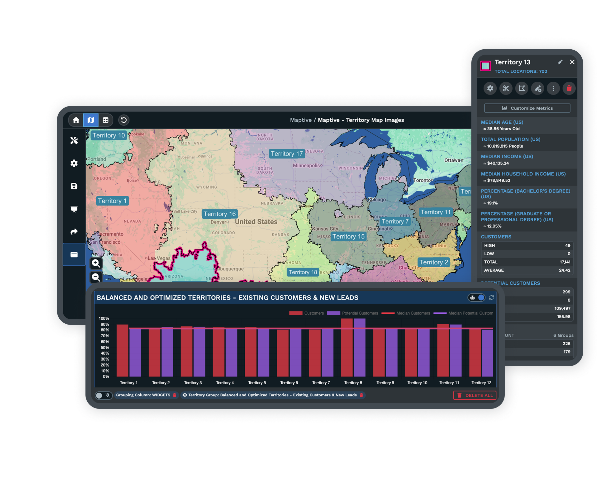
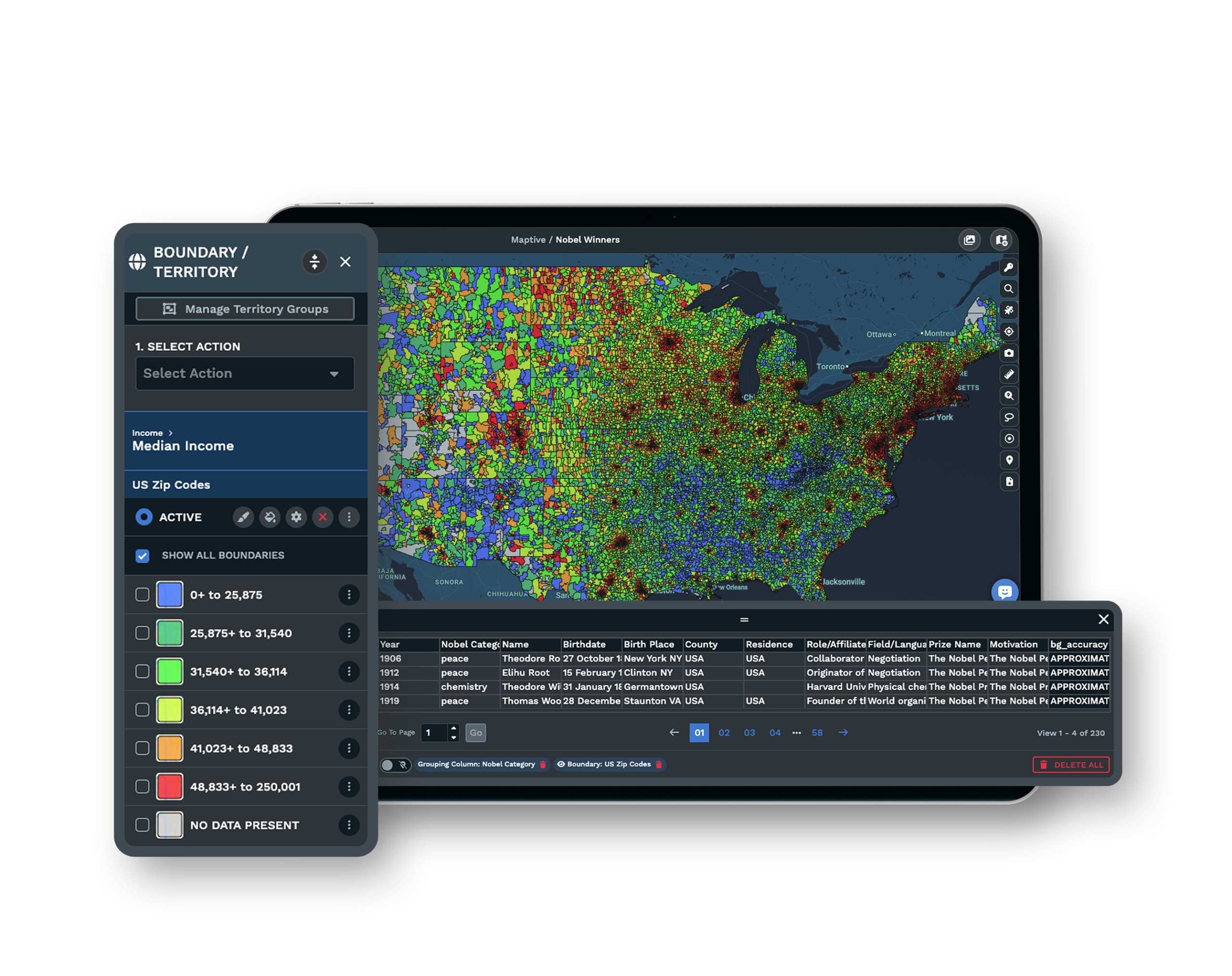
Service Areas by Postal Unit or DistanceDraw a partner’s coverage area from grouped ZIP codes, Canadian FSAs, a fixed radius, a drive-time polygon, or a freehand boundary. The area follows where the partner delivers service rather than where its office sits. See the grouping tool → |
| 02 |
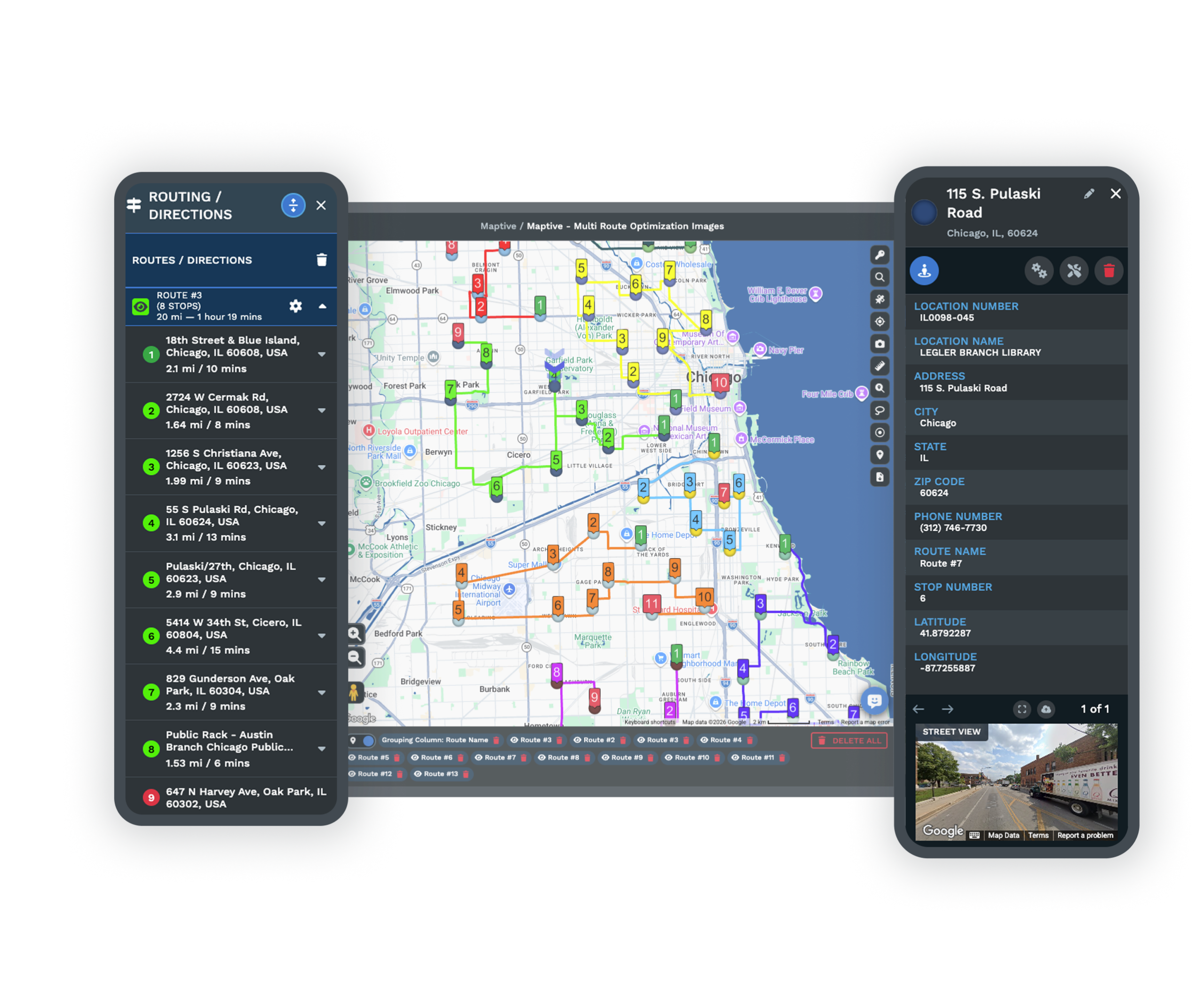
Capabilities Stored as Marker Data FieldsAttach services offered, certifications, licenses, product lines, and capacity notes to each partner marker. Click the pin and the pop-up shows those fields, so the map answers who covers here and the fields answer who can do the job. |
| 03 |
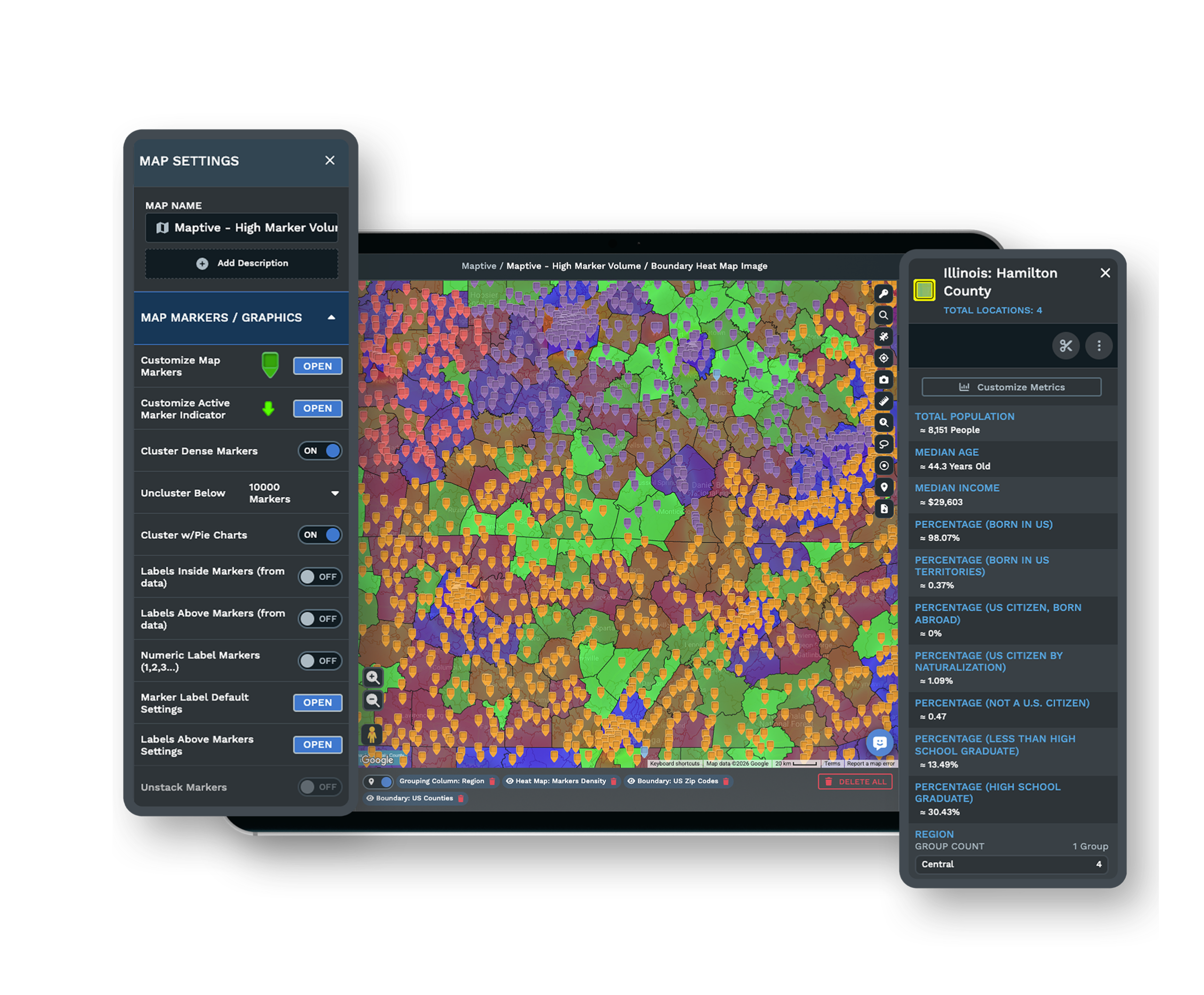
Color-Coded Partners for Fast ReadingColor partners by status, tier, or capability with the Grouping Tool, and upload a logo or icon as a custom marker. A glance separates certified partners from the rest across a crowded region. |
| 04 |
An Address Search for the Covering PartnerPublish the network as an embeddable Location Finder. A visitor or an ops person enters an address and sees the partner whose coverage area contains it, along with that partner’s service tags and contact details. Explore the Location Finder → |
Geography Alone as a Cause of Misrouted Leads
Leads rarely disappear because someone ignored them. The handoff failed. An address arrives, and no one is certain which partner owns that region and offers the service the customer asked for, so the lead ages out before anyone acts. Checking only who is closest produces the same loss, since a nearby partner without the right certification cannot take the job.
The reliable model reads two axes in order. First find whose coverage area contains the address, then confirm that partner carries the requested capability before the lead is delivered. On a map, the boundary answers the first question and the marker’s data fields answer the second, so the ops person decides with both facts in front of them rather than guessing at one.
Finding Coverage Gaps and Overlap on One Canvas
Every partner footprint drawn on the same map shows two problems at once. The empty spaces between areas are white space, regions with demand that no partner efficiently serves, and the doubled spaces are overlap, where two partners chase the same customer and dilute each other’s revenue. The most stubborn gap is the area assigned to a partner on paper but worked by no one, since it looks covered while it keeps losing jobs.
Layering census demand over the map tells you which gaps are worth closing. From there the fix is a choice you can see, extend a neighboring partner’s area, recruit a new partner for the space, or add the missing capability to a partner who already covers the ground.
Keeping the Coverage File Trustworthy
One Locked Area per Partner
Lock each coverage area to a single partner so it counts as assigned and cannot be sold or handed off twice. Drag the boundary when coverage shifts, then document the area in the partner agreement, so the map and the contract describe the same ground.
Scoped Access for Each Regional Team
Share the coverage map through a link and set each teammate to view-only or edit access. Regional managers open the areas they own, and the master assignment file stays in one place instead of circulating as email attachments that fall out of date.
Reliable Access to a Live Network File
The platform holds 99.9% uptime with 256-bit SSL and two-factor authentication, and a US and Canada support team replies in under 15 minutes. The coverage map your dispatch decisions depend on stays available and current.
See enterprise security →Free trial with the full platform and no credit card
Map Your Partner Coverage
Start a 10-day free trial with no credit card and all 60+ tools unlocked. Draw each partner’s service area, tag its capabilities in the marker fields, publish the Location Finder, and run a test address to see which partner covers it, all on your real roster.
Build Your Coverage Matrix in a Guided Session
If your assignments run through regional managers or a partner-agreement review, a Maptive specialist will build the first coverage areas with you. Bring your partner list and the addresses you are unsure about, and the session shows the geography-plus-capability match in front of the people who approve it.
Frequently Asked Questions
How do I assign partners to franchise coverage areas?
Draw each partner’s coverage area from grouped ZIP or postal codes, a radius, a drive-time zone, or a freehand boundary, then lock that area to the partner and record it in the agreement. On the map you plot the partner and attach its area, so the assignment is visible and cannot be handed off twice. Capability fields on the marker keep the record complete.
Which partner covers this region and offers this service?
Match on two axes. Find whose coverage area contains the address, then filter by the certification or service the job needs. A Location Finder with capability tags returns only partners who both serve the area and offer the requested work, so a right-area, wrong-capability match never reaches the customer.
What is a partner service area in a franchise network?
A service area is the geographic zone where a partner actively delivers service, which does not always match where its office sits. Networks usually express it as ZIP or postal codes, a radius, a drive-time zone, or a drawn boundary. Mapping it fixes the assignment so everyone reads the same coverage.
What is capability-based coverage?
Capability-based coverage layers each partner’s services, certifications, equipment, and product lines onto its geographic area. A lead then routes to a partner that can perform the job rather than one that happens to be nearby, which is what turns a pin on a map into a routable partner.
How do I find coverage gaps in my partner network?
Plot every partner and its coverage area on one map. The uncovered spaces are your gaps, and the doubled-up spaces are overlap where two partners compete. Layering demand or demographic data over the map shows which gaps hold enough business to be worth closing first.
Why do leads get sent to the wrong partner?
Usually because coverage areas are undocumented or vague, or because only geography was checked and not capability, so a lead lands with a partner who is close but cannot do the work. Coverage areas that are mapped, locked to one owner, and tagged with capabilities prevent both failures.
How do I map service areas for the US and Canada in one network?
Use ZIP codes for US coverage and Forward Sortation Areas or postal codes for Canadian coverage, plotted on the same map. Radius and drive-time areas work in both countries for partners defined by distance, so a cross-border network reads on one canvas.
Can I show customers which partner serves their address?
Yes. Publish an embeddable Location Finder. A visitor enters an address and sees the partner whose coverage area contains it, along with that partner’s service tags, hours, and contact details, so the customer reaches a partner who can help.
What data should I attach to each partner on the map?
Contact details and hours, plus the capability fields that decide routing, meaning services offered, certifications, licenses, product lines, and capacity notes. Those fields sit in the marker pop-up and turn a plotted partner into one the map can match to a job.








