


Draw Custom Sales Territories by Hand
Some territories will never follow ZIP or city lines, and that's fine. Maptive lets you draw the exact shape by hand.
No credit card required
- Draw a territory shape by hand, right there on the live map.
- Trace a free-form outline that ignores ZIP and city borders.
- Carve one tight urban cluster into two clean and even halves.
- Grab the odd shape you drew and drag any part of its border.
- Color and name each hand-drawn area so it stands on its own.
- Split a single ZIP code down the middle wherever you need it.
Trusted by teams at









Free-Form Territory Outlines, Made Simple
It's a very intuitive tool, all of the functions within it are very clearly depicted.
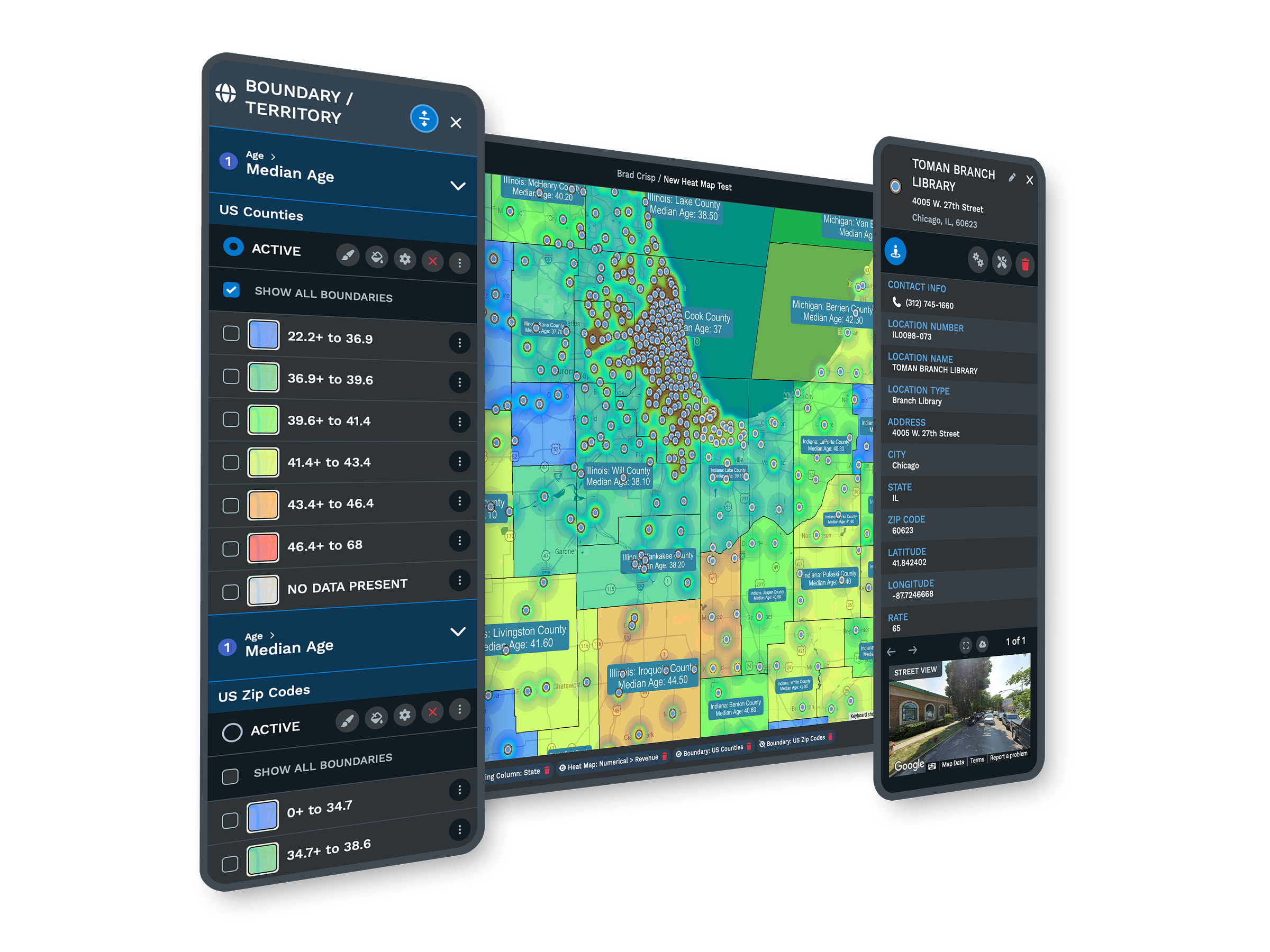
Drawing a Territory in Maptive
-
1
Start the Drawing Tool
Open the boundary tool and pick freehand, so your next clicks lay down a shape.
-
2
Trace the Shape You Want
Click point to point around the area, cutting across ZIP codes and streets as you go.
-
3
Adjust the Border
Grab any edge of the shape and drag it until the outline sits exactly where you meant.
-
4
Color and Name It
Give the finished area a color and a name, and it is saved as its own territory.
Draw Your First Custom Territory Free
The 10-day free trial is the quickest way to try it, and no credit card is needed. Open a map, draw one shape by hand over your own accounts, and see how a free-form area looks next to the ZIP-based ones. Prefer company on the first one? A Maptive specialist will hop on and draw a territory with you.
No credit card required
Frequently Asked Questions
How do I draw a custom sales territory shape?
Open the boundary tool and choose the freehand option, then click point to point on the map to trace the outline you want. You can run that line straight across ZIP codes and city limits, since the outline follows your clicks rather than any fixed border. When you close the loop, Maptive saves it as a territory you can color and name. If the shape is not quite right, grab any part of the edge and drag it until it sits where you meant it to.
Can I split a ZIP code or a city in half?
Yes. A hand-drawn shape is not tied to ZIP or city lines, so you can run your outline right through the middle of a single ZIP code or a downtown area and keep only the part you want. This is how teams handle a dense cluster where one ZIP holds more accounts than a single rep should carry. You draw a line between the two sides, save each half as its own territory, then color and name them so everyone can see exactly where one rep's ground ends and the next begins.
How is drawing by hand different from grouping ZIP codes?
Grouping snaps to whole ZIP codes, counties, or states, so every territory follows those existing borders. Drawing by hand ignores all of that. You trace a free-form shape wherever you want it, which is the right tool when your areas cut through ZIP codes and cities and are not exact. Many teams use both on one map. They group ZIP codes across open ground where the borders are fine, then switch to freehand drawing in a tight metro where they need a street-level split that no ZIP boundary can give them.
Can I edit the border after I draw the territory?
Yes. Nothing you draw is locked. Grab any point along the edge of a territory and drag it, and the outline follows your cursor so you can widen it, tighten it, or move a side over a block. If your first pass was rough, this is where you clean it up without starting over. You can keep nudging the border until the shape matches the ground your rep really covers. The color and the name stay with the territory the whole time, so a quick edit never means rebuilding it from scratch.
How do I select loose pins and turn them into a territory?
Use the lasso tool to draw a loop around the pins you want, and Maptive selects everything inside the loop at once. From there you save that set as a single named territory, which is handy when a rep's accounts sit in an odd cluster that no ZIP or county line captures. You do not have to click each pin one by one. Draw the loop, save the group, then give it a color and a name. If you missed a pin, lasso again to add it or drag the border to reach it.
Can I give each drawn territory its own color and name?
Yes. Every area you draw can take its own color and its own name, so a map full of hand-drawn territories reads at a glance instead of blurring together. Color is the fastest way to tell whose ground is whose, and the name travels with the area when you hand it to a rep or share the map. If you rename a rep or reassign an area, you update the color and label in place. The map stays easy to read no matter how many custom outlines you end up drawing on it.
How many custom territories can I draw on one map?
You can draw plenty of areas on a single map, and Maptive holds up to 200,000 locations on that map, so even a big book of accounts fits under your outlines without splitting the plan into separate files. Draw as many free-form territories as your team needs, color and name each one, and keep them all on one canvas. That way you can see the whole region at once and then zoom into a single metro to check one tight, hand-drawn split up close, all without leaving the map you built.
Does the drawing follow streets, or is it a rough circle?
It follows your clicks, not a preset radius. A hand-drawn shape is as loose or as precise as you make it, so you can hug a highway, follow a river, or run a straight cut between two neighborhoods. That is different from a distance circle, which only ever gives you a ring around a point. When your territories are not exact and cut through cities, the freehand outline is what lets you match the real ground. Trace the shape point by point, then drag the edges until it lines up the way you want.
Can my team see the territories I drew without changing them?
Yes. Share a view-only link and your reps and managers can open the map to see every hand-drawn area and check who covers what, all without moving a border. You decide who can edit and who can only look, and you can password-protect the link when the plan is sensitive. This keeps one clean master map in your hands while everyone else works from the same picture. No one accidentally reshapes a territory you spent time carving, and there are no emailed screenshots that go stale the next day.
Can I draw territories over accounts I imported from a spreadsheet?
Yes. Import your accounts from Excel, a CSV, or a Google Sheet, and Maptive plots every one as a pin on the map. Then you draw your areas right over those pins, so each hand-drawn territory lands on top of the real accounts it holds. The lasso tool helps here too, letting you loop a cluster of imported pins and save it as an area in one move. You work from the data you already keep, and the drawing sits on top of it, so nothing has to be re-entered or reformatted first.








