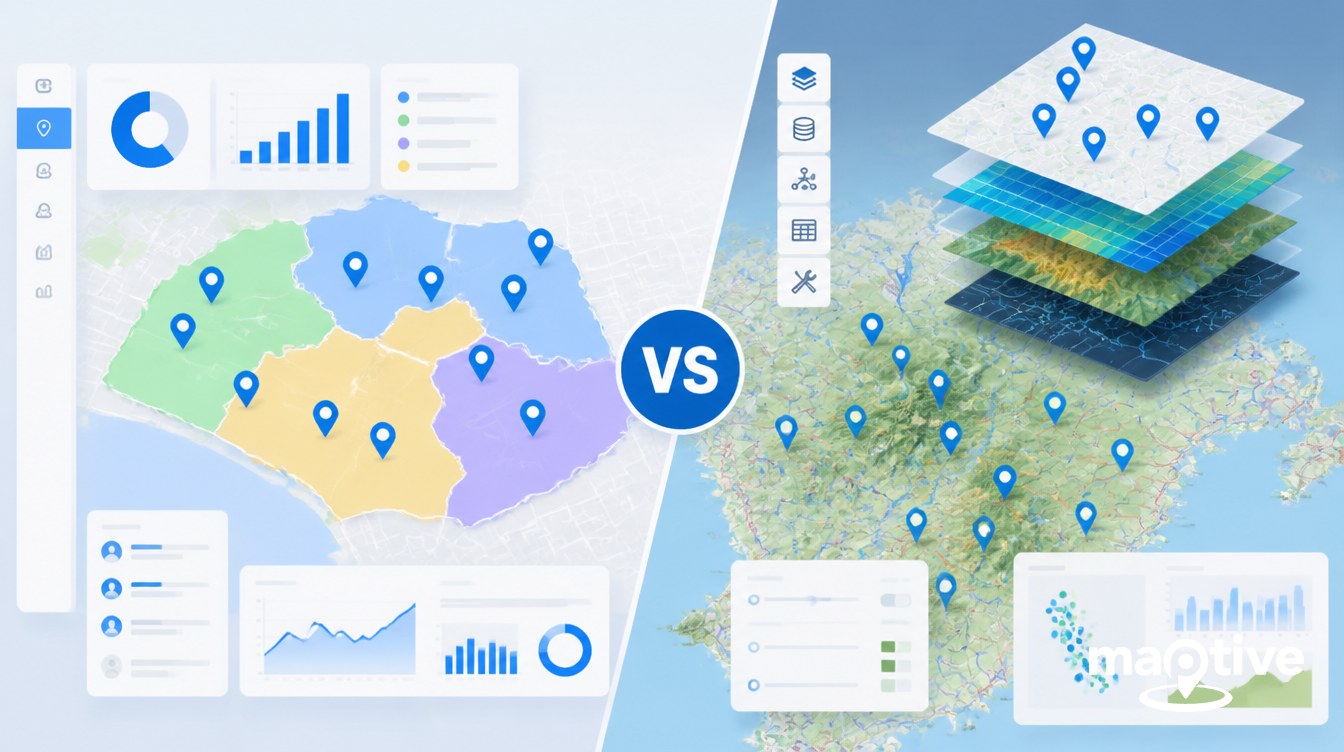
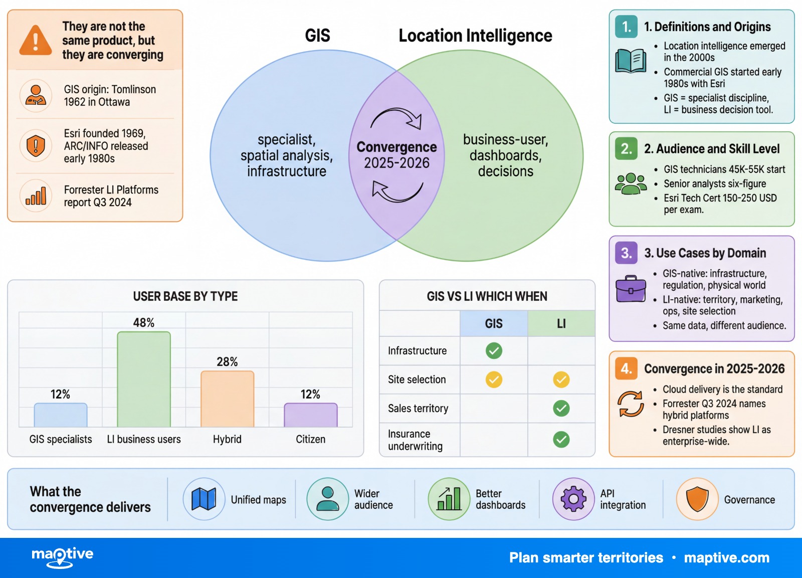
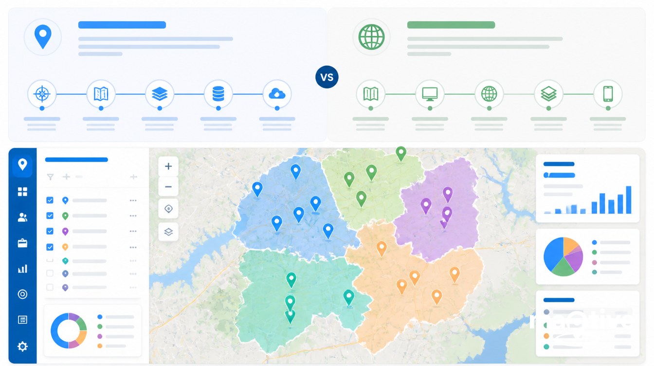
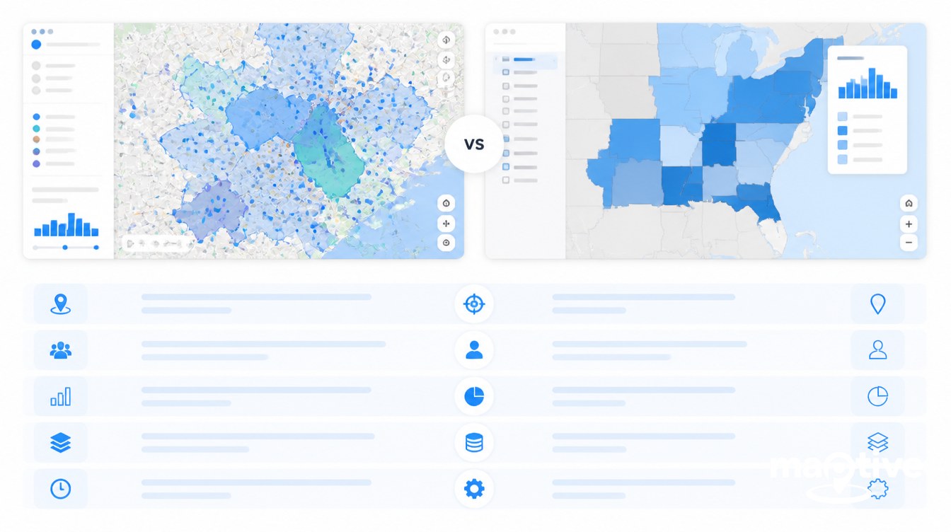
A Geographic Information System is the underlying technology category for capturing, storing, analyzing, and visualizing data tied to locations on Earth. Location intelligence is a newer business practice that runs on top of that foundation, treating geography as the dominant analytical dimension inside otherwise familiar business intelligence. GIS supplies the spatial machinery. Location intelligence turns it into business decisions.
The split has a long history. In 1962, an English-Canadian geographer named Roger Tomlinson, working at Spartan Air Services in Ottawa, began developing the Canada Geographic Information System with IBM for the federal Department of Forestry and Rural Development. The system mapped soils, agriculture, forestry, wildlife, and land use at 1:50,000 scale across the entire country, and IEEE has since recognized it as the first operational GIS. Tomlinson coined the phrase that became the field’s name.
Location intelligence, by contrast, did not have a name until the early 2000s. It moved from a marketing label to a recognized analyst category around the time cloud BI tools and geocoded CRM data became routine. The two practices now sit in the same Venn diagram and serve different readers, different problems, and different budgets.
Definitions and Origins
GIS is a software discipline. The classic definition covers any computer-based system designed to collect, store, analyze, and display data in geographic or spatial form. The work includes satellite imagery, parcel records, soil maps, hydrography, elevation models, utility networks, transportation graphs, and survey-grade GPS measurements. A GIS environment carries explicit rules about how features relate to each other, how the curved earth is flattened onto a flat map, and how raster grids interact with vector geometry.
Location intelligence is a business analytics practice. Dresner Advisory Services treats it as a form of business intelligence in which location or geography is the dominant dimension used for analysis. IBM frames it as the process of deriving insight from geospatial data relationships to solve a particular problem. Either definition lands in the same place. Location intelligence answers business questions by putting business data on a map.
The conceptual precedent for both reaches back to 1854. During the Soho cholera outbreak in London, Dr. John Snow plotted deaths on a base map drawn by surveyor C.F. Cheffins. The deaths clustered around the Broad Street water pump. The pump handle was removed, the outbreak receded, and the map remains the standard reference example of using spatial position to answer a question that is not itself geographic. Snow had no software, no projection, and no formal topology. He had a base map and a hypothesis. That is the lineage location intelligence claims when it argues that mapping a business problem is older than the technology stack.
Operational GIS, as opposed to manual spatial analysis, starts with Tomlinson’s 1962 work in Ottawa. By the late 1960s the Canada Geographic Information System had ingested the Canada Land Inventory and was running spatial analyses that would have taken a room of map drafters months by hand. Commercial GIS arrived in the early 1980s when Esri, founded in 1969 in Redlands, California, released ARC/INFO. Through the 1990s and 2000s, GIS remained a specialist discipline used by planners, engineers, foresters, and intelligence analysts.
Location intelligence as a term emerged in the 2000s and gained material traction in the 2010s. The first applied university course on location intelligence was offered at the University of Texas in 2012 by Wayne Geary. Howard Dresner, who popularized the category term “business intelligence” at Gartner in 1989, later published dedicated location intelligence market studies through his own analyst firm. Forrester now publishes a standing Location Intelligence Platforms report, most recently issued in Q3 2024. The category became a category because business teams wanted spatial analysis without having to retrain as map specialists.
Audience and Skill Level
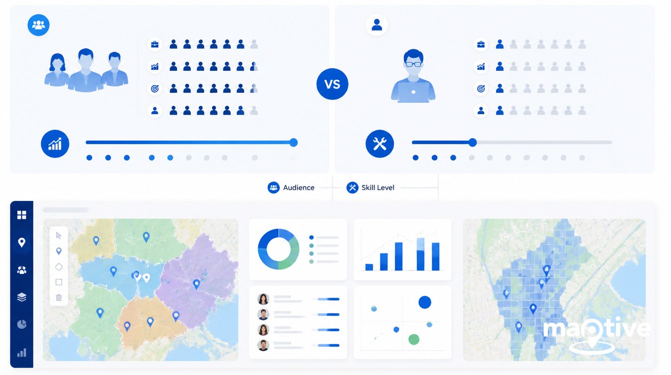
The two practices serve different users with different backgrounds. The technical depth required is the clearest dividing line.
GIS Practitioners
GIS is the working environment of geographers, urban and regional planners, civil and environmental engineers, foresters, transportation planners, public-health epidemiologists, utility network engineers, defense and intelligence analysts, and natural-resource scientists. The work touches topology, projections, coordinate reference systems, raster math, and network analysis. A GIS analyst handling a sewer network has to understand that a manhole on a parcel boundary cannot also belong to two parcels, that elevation values come from a raster surface stored in a specific datum, and that the choice of projection changes the answer to almost any distance question.
Most GIS roles require a bachelor’s degree in geography, geoscience, surveying, computer science, or a related engineering field, with formal GIS coursework or certifications. The median GIS analyst salary in the United States sits at $73,690 in recent federal labor data. Federal GIS roles average around $95,000. Entry-level technician positions start at $45,000 to $55,000, and senior analysts reach $88,000 to $108,000. Esri Technical Certification exams run $150 to $250 each across Associate and Professional levels in ArcGIS Pro, developer, and enterprise tracks. The GISP credential issued by the GIS Certification Institute requires a combination of education, applied work history, and documented contributions to the field.
Business Users of Location Intelligence
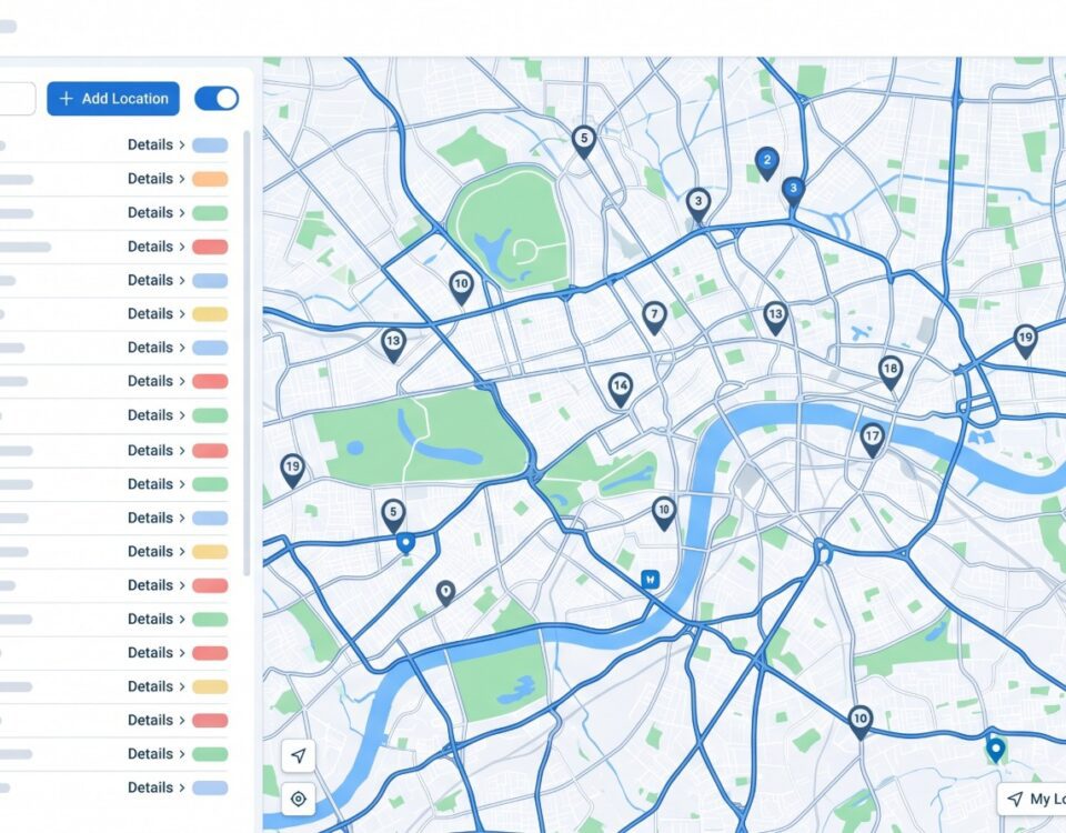
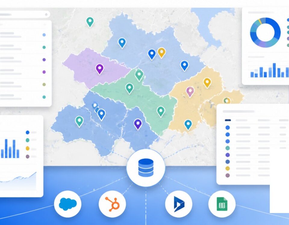
Location intelligence sits with business analysts, sales operations leaders, marketing managers, retail real-estate teams, supply chain planners, field-service managers, insurance underwriters, and telco network planners. The platforms are built so the user does not have to declare a coordinate reference system, troubleshoot topology errors, or write a raster map-algebra expression. The platform picks Web Mercator and moves on.
There is no standard certification gate. Competence is assumed of someone already comfortable with SQL, dashboarding tools, and the underlying business problem. Market-share studies place R&D, Operations, and Executive Management at the top of enterprise location intelligence adoption, which says something about how the practice gets sponsored inside companies. The buyers are not GIS managers. They are line-of-business leaders looking for a “where” axis on the analytics they already run.
Use Cases by Domain
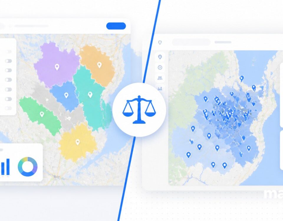
The cleanest way to separate the two is by the question being asked. GIS-native questions concern infrastructure, regulation, and physical-world precision. Location-intelligence-native questions concern business outcomes, customers, and operations.
Engineering, Infrastructure, and Regulatory Work
GIS handles work where the geometry has to be correct, the data layers have to follow topology rules, and the output has to satisfy a regulator or an engineering review. A municipality planning a new sewer trunk line needs parcel geometry, elevation, slope, existing pipe topology, and engineering-grade projections that survive a contractor’s survey. A state department of transportation building a 20-year bridge condition plan needs an asset inventory with feature-level attributes and a maintenance history tied to each structure. A power utility modeling outage propagation across a distribution network depends on a topologically connected feeder graph, since the analysis follows electrical flow rather than straight-line distance. An environmental scientist modeling hydrologic response to wildfires works with raster elevation, slope, soil, and land-cover layers and runs map-algebra calculations against them. Singapore has mapped its entire national drainage system in a GIS environment for flood resilience planning.
Each of these examples shares two traits. The geometry has to be right, and the output flows into another technical system such as a CAD package, an asset-management database, or a regulatory filing.
Business Decisions, Operations, and Customer Strategy
Location intelligence handles work where the business question dominates and the geometry is supporting infrastructure. The user is making a decision, not engineering a network.
A sales vice president rebalancing 250 territories to equalize workload, travel time, and account potential across the team.
A retail real-estate team ranking 500 candidate sites for the next 10 store openings using demographics, foot-traffic feeds, and cannibalization models against existing stores.
A field-service operations manager designing service areas balanced by technician availability and average job duration.
An insurance underwriter assessing wildfire and flood exposure across a portfolio of policies and pricing accordingly.
A marketing team running geofenced promotions triggered by visits to specific points of interest.
Each of these examples shares the opposite two traits from the GIS list. The geometry is accurate enough rather than survey-grade. The output flows into a business decision rather than an engineering system.
Hybrid cases exist. Emergency management uses GIS for hazard modeling and evacuation routing and location intelligence for live resource tracking and operational dashboards. Telco network planning uses GIS for tower siting and signal propagation modeling and location intelligence for customer-facing service quality maps and churn-risk analysis. The pattern in hybrid use is that the technical team and the business team work side by side with different tools.
Convergence in 2025-2026
The two markets are visibly converging while remaining distinct. Location intelligence market estimates cluster around $24 to $25 billion in 2025 across Grand View Research, Precedence Research, Future Market Insights, and Mordor Intelligence, with most forecasts placing the category between $53 billion and $109 billion by the early 2030s depending on definition. GIS-market estimates over the same period sit between $13 and $17 billion for 2024 and 2025 across Business Research Insights, IMARC, and 360iResearch, with the wider geospatial analytics category valued at $38.3 billion in 2024 by GM Insights. The location intelligence segment is both larger and growing faster than the traditional GIS segment.
Adoption signals follow the same pattern. Forrester reported in 2023 that 82% of business and technology decision-makers had implemented location intelligence capabilities or planned to within 12 months, with the location intelligence investment wave driven by COVID, climate change, and supply chain shocks. Dresner’s 2019 and 2020 market studies showed cloud-based delivery becoming the dominant model and R&D, Operations, and Executive Management rating the category as critical. The forecasts of zettabyte-scale spatial sensor data through 2025 push more inputs into both categories.
Convergence shows up on both sides. GIS vendors have added business-style dashboards, embedded analytics, and template applications aimed at non-specialists. Location intelligence vendors have added deeper spatial analytics, AI-driven prediction, and richer data integration. The Forrester Location Intelligence Platforms report published in Q3 2024 places both former GIS vendors and pure-play LI vendors inside the same competitive field. Some analysts argue the boundary is dissolving, though the day-to-day reality inside most organizations is that GIS and LI teams still own different problems with different tools.
The practical division holds for buyers in 2025 and 2026. Organizations that need engineering-grade spatial work keep a GIS team and a GIS platform. Organizations that need business teams to make spatial decisions buy a location intelligence platform, often web-delivered and self-serve. Many organizations run both at the same time, with the integrations between them growing each year. Maptive sits in the location intelligence band of that market, built for business users who need to put their own data on a map without standing up a GIS practice to do it.
Frequently Asked Questions
What is the difference between GIS and location intelligence?
GIS is the underlying technology category for capturing, storing, analyzing, and visualizing spatial data, and it is built for technical specialists. Location intelligence is the practice of deriving business insight from that spatial data, packaged for non-technical users. GIS gives you the raw spatial material. Location intelligence turns it into dashboards and decisions.
Is GIS the same as location intelligence?
No. GIS is a 60-year-old technical discipline that dates to Roger Tomlinson’s Canada Geographic Information System in 1962. Location intelligence is a newer business analytics practice that Dresner Advisory Services classifies as a form of business intelligence in which location is the dominant analytical dimension. They overlap but are not synonymous. GIS sits closer to spatial engineering, location intelligence closer to BI.
What is location intelligence in simple terms?
Location intelligence is the practice of putting business data on a map to answer business questions, such as where to open a new store, how to balance sales territories, or which insurance risks cluster geographically. IBM defines it as the process of deriving meaningful insight from geospatial data relationships to solve a particular problem. It is business intelligence with a “where” dimension.
What is GIS in simple terms?
GIS is software that lets you collect, store, analyze, and display data tied to locations on Earth. It handles satellite imagery, sewer pipes, census polygons, parcel boundaries, soil maps, and elevation models, and it supports technical spatial analysis like topology checks, projection management, raster math, and network analysis. The first true operational GIS was the Canada Geographic Information System, developed starting in 1962.
Who invented GIS?
Roger Tomlinson, an English-Canadian geographer working at Spartan Air Services in Ottawa, is recognized as the father of GIS. In 1962 he led development of the Canada Geographic Information System with IBM for the Federal Department of Forestry and Rural Development. The system mapped soils, agriculture, forestry, wildlife, and land use at 1:50,000 scale and is recognized by IEEE as the first operational GIS.
When was the term “location intelligence” coined?
The term emerged in the early 2000s and gained traction in the 2010s as cloud business intelligence and geocoded CRM data became mainstream. The first applied university course on location intelligence was offered at the University of Texas in 2012 by Wayne Geary. Forrester and Dresner Advisory Services began publishing dedicated location intelligence market studies through the mid-2010s.
Do you need GIS to do location intelligence?
Not directly. Modern location intelligence platforms are built so business users do not need GIS skills. They abstract away projections, topology, and raster handling behind a dashboard interface. The platforms still rest on geospatial data infrastructure underneath, but the user does not operate that layer.
Who uses GIS?
Traditional GIS users include urban and regional planners, civil and environmental engineers, foresters, transportation planners, public-health epidemiologists, utility network engineers in water, sewer, gas, and electric, map-making specialists, defense and intelligence analysts, and natural-resource scientists. Most hold a bachelor’s degree in geography, computer science, geoscience, surveying, or engineering, with GIS coursework or certifications.
Who uses location intelligence?
Location intelligence users are typically business analysts, sales operations leaders, marketing managers, retail real-estate teams, supply chain planners, field-service managers, insurance underwriters, and telco network planners. Dresner Advisory Services reports that R&D, Operations, and Executive Management lead all enterprise areas in adoption.
How big is the location intelligence market?
Estimates converge around $24 to $25 billion for 2025. Grand View Research pegs the market at $24.70 billion in 2025, growing at a 16.8% CAGR to $53.62 billion by 2030. Precedence Research estimates $25.43 billion in 2025, reaching $74.81 billion by 2035. Future Market Insights puts 2025 at $25.3 billion.
What is the John Snow cholera map and why does it matter?
In 1854, Dr. John Snow plotted cholera deaths in London’s Soho district on a base map drawn by surveyor C.F. Cheffins. The deaths clustered around the contaminated Broad Street water pump. The map is widely cited as the earliest documented use of spatial analysis to answer a question that is not itself geographic, which is conceptually the same thing modern location intelligence does.
Which is easier to learn, GIS or location intelligence?
Location intelligence is generally easier for business users to learn because the platforms abstract spatial engineering concepts behind a dashboard interface. GIS requires working knowledge of vector and raster data models, coordinate systems, projections, topology, and spatial analysis primitives, which is why GIS roles typically carry formal credentials like Esri Technical Certification or the GISP that location intelligence roles do not.


