


Reducing Franchise Territory Overlap Before You Open a Unit
Before you approve a new unit, confirm its area will not sit on top of an existing owner's. Maptive plots every protected area so overlapping circles show at once.
No credit card required
- Load every open unit, granted area, and candidate site on one map
- Drop a fixed-mileage radius and read where two circles intersect
- Draw drive-time polygons on real roads to test true catchments
- Hold a 20 to 25 percent shared trade area as your conflict buffer
- Group ZIP codes and states, then nudge a boundary off a conflict
- Share a view-only or edit map link with HQ and the owner
Trusted by teams at









Overlap Prevention in Numbers
Checking areas before approval cuts overlap between neighboring owners by about 26%.
Holding a buffer before opening drops territory disputes by 22%.
Seeing overlapping areas on the map speeds the pre-approval check by 35%.
Catching an Overlap at Design Time
| 01 |
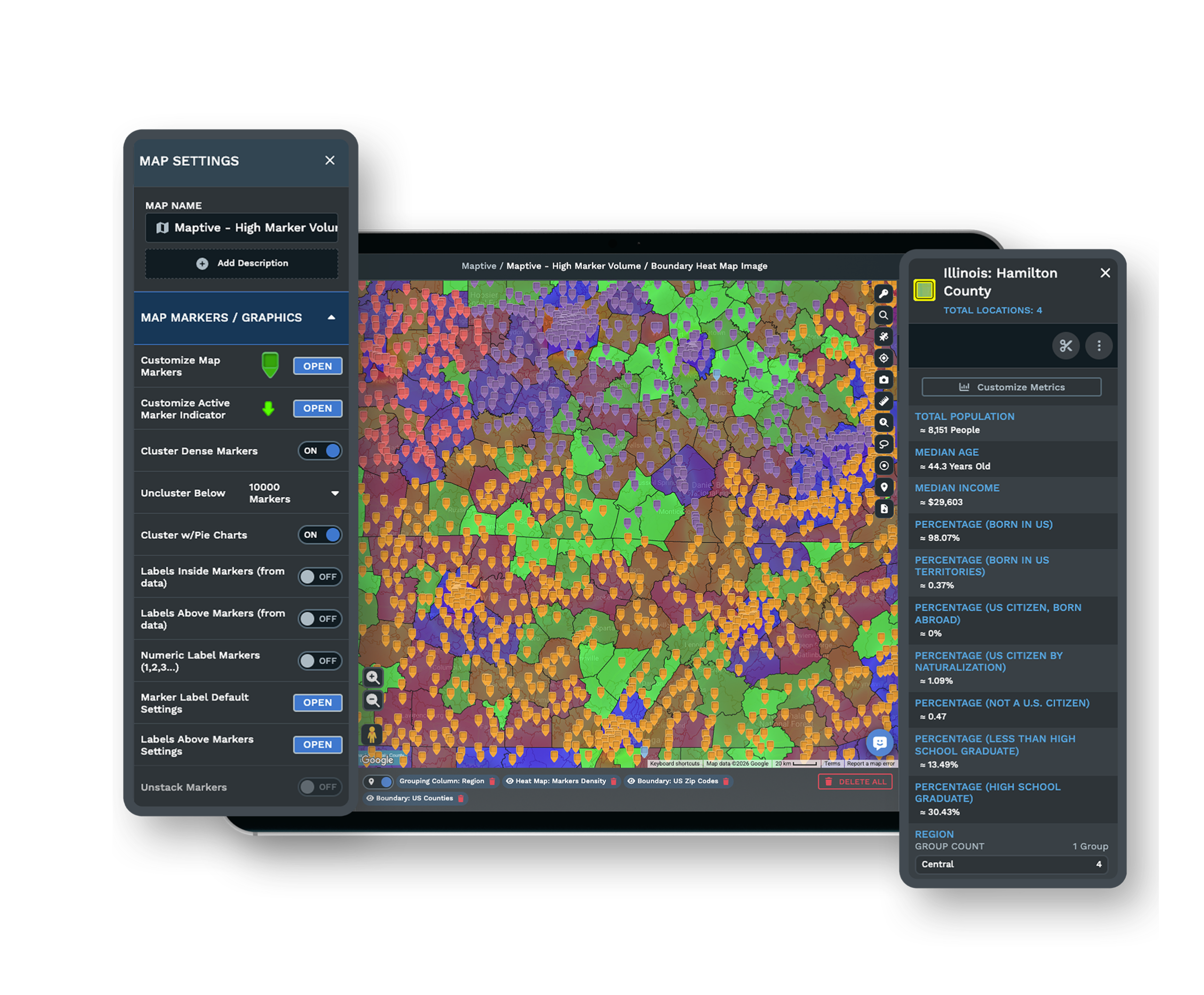
Intersecting Radius Circles Made VisibleThe Distance Radius Tool drops a fixed-mileage circle around each existing location and each proposed site using the Proximity Within setting. Two circles that intersect are the encroachment risk you are trying to catch, and here they are plain on the map. Explore the radius tool → |
| 02 |
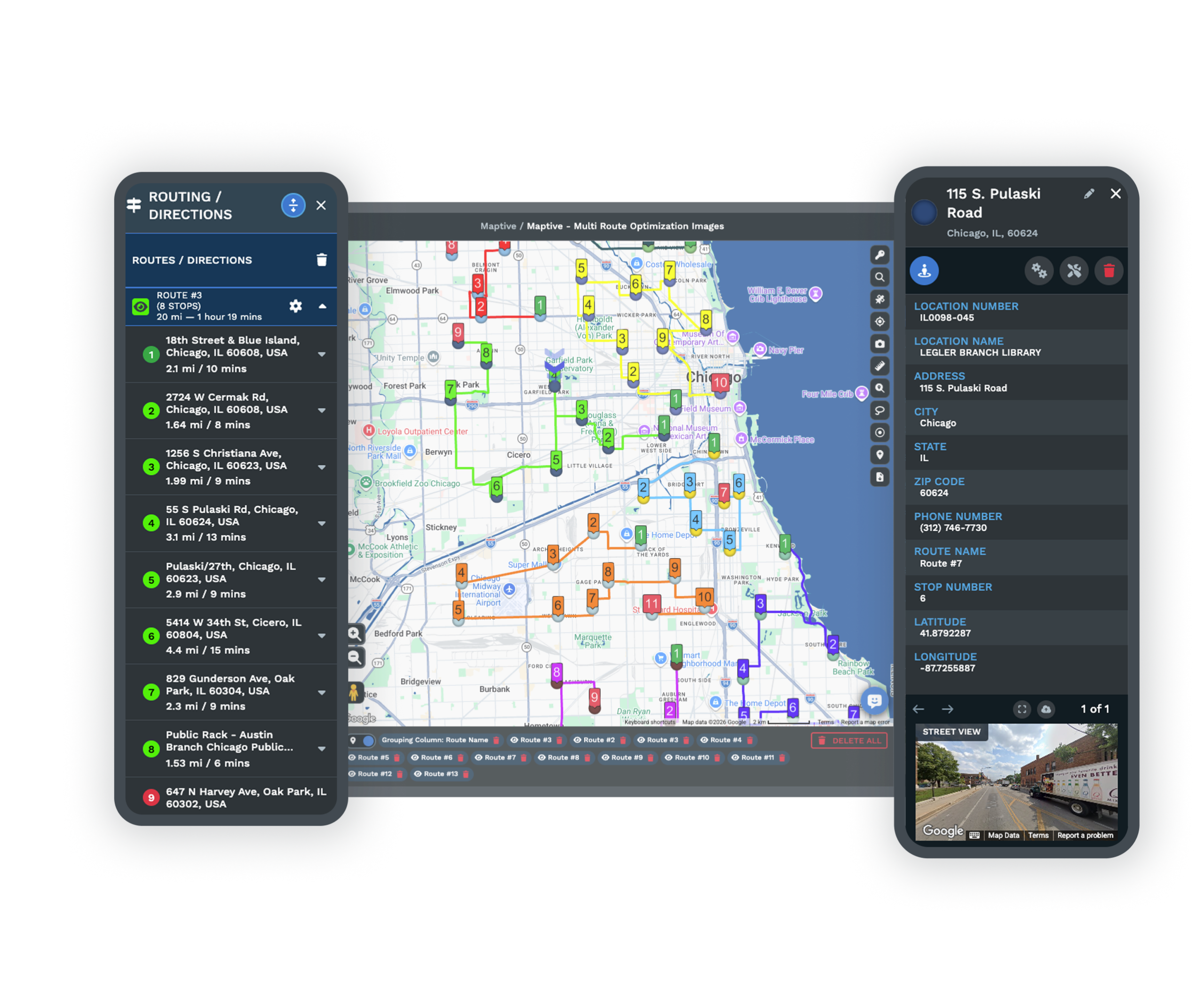
A Drive-Time Read on Where Customers Really Come FromDraw a drive-time polygon along the real road network for two nearby units and see if their catchments truly meet. Radii can cross when a river or highway keeps trade areas apart, so the drive-time shape is the truer test of double coverage. Explore drive-time polygons → |
| 03 |
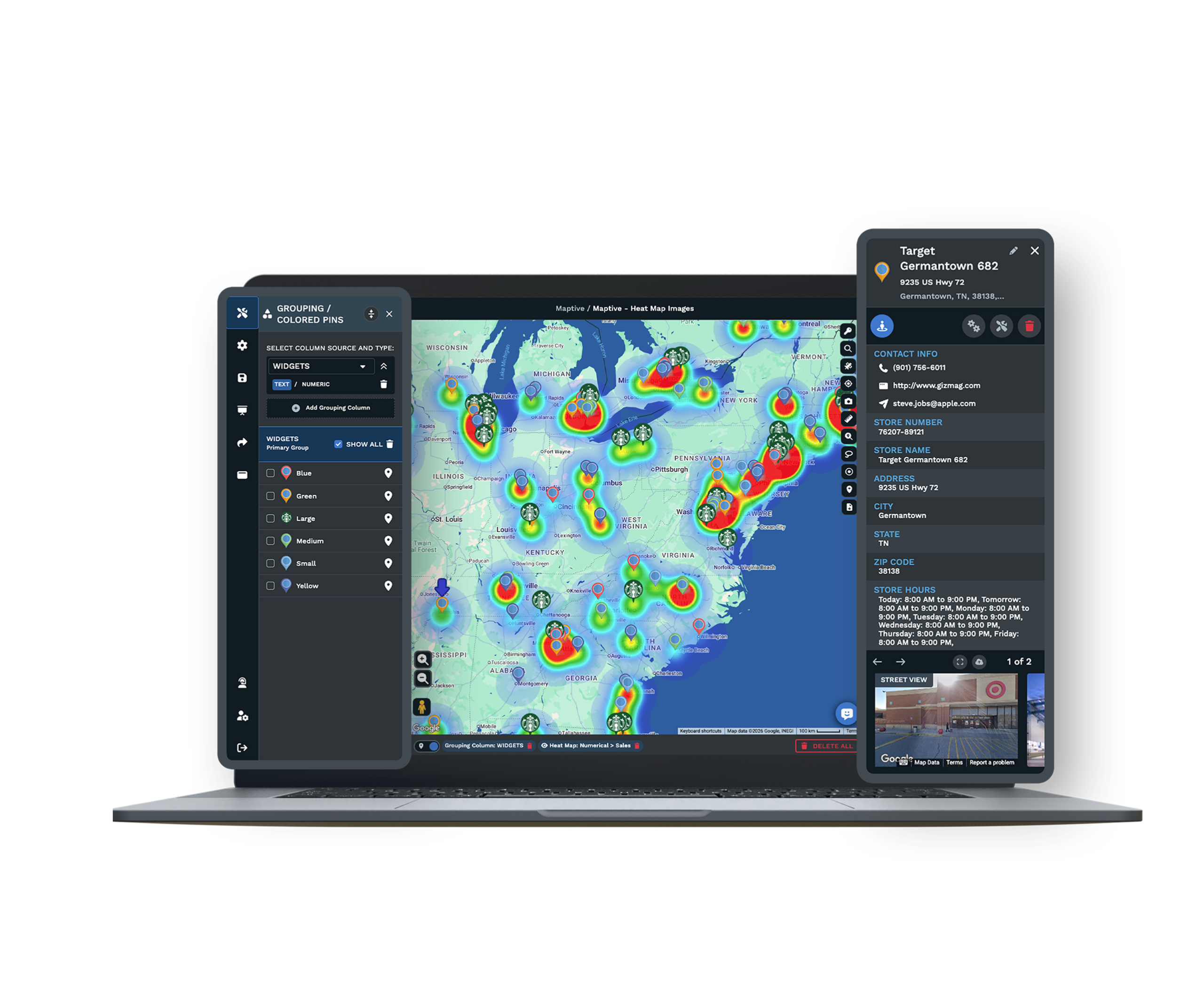
White Space Beside the OverlapThe same view answers two questions at once. It shows where a proposed area collides with an owner's protected area, and where demand sits that no current unit covers, so you can move the new site into the gap instead of onto a neighbor. |
| 04 |
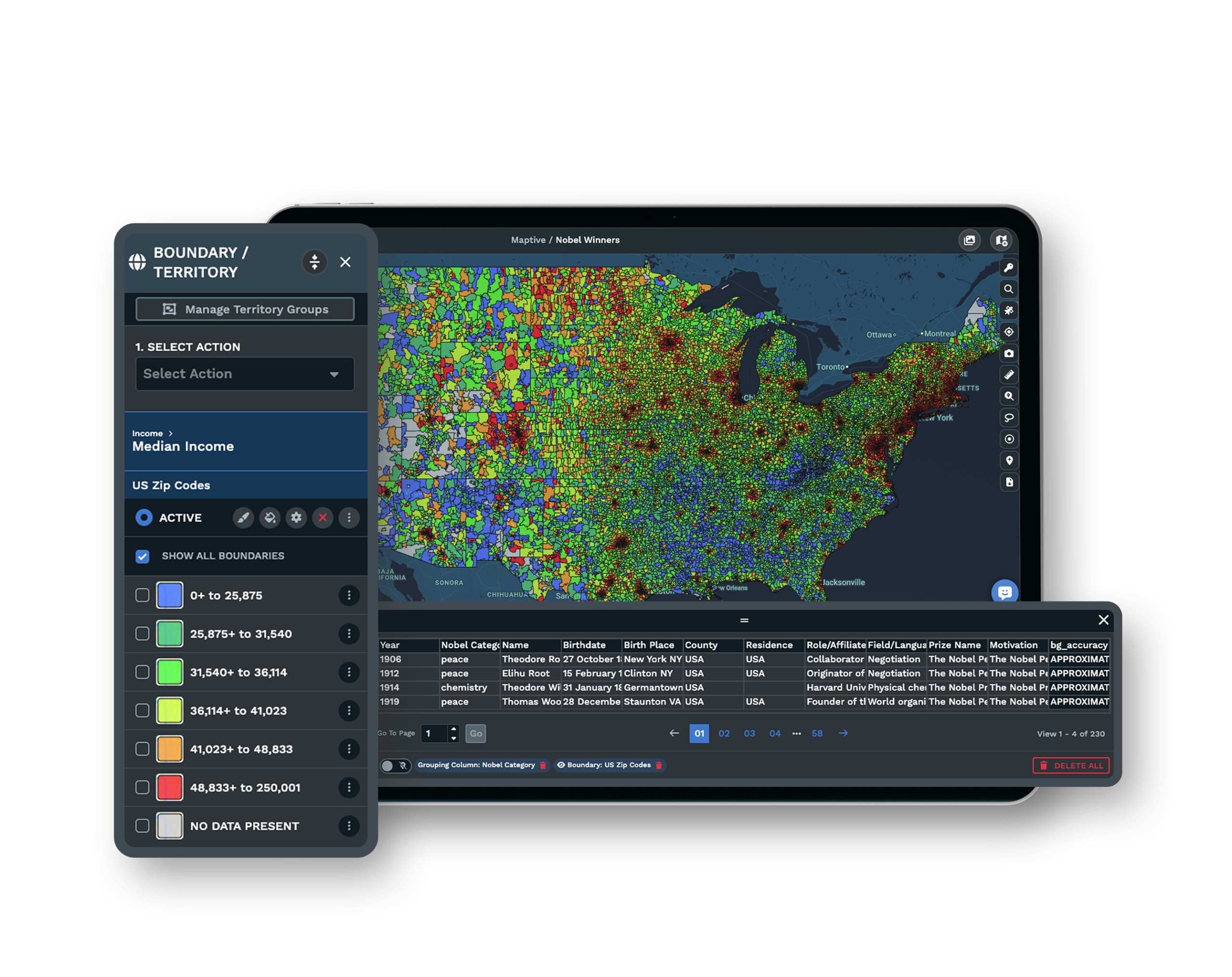
A Boundary You Can Nudge Off a ConflictGroup ZIP or postal codes and US states into an area with the Grouping Tool, then drag its edge until the line holds the buffer to every neighboring area. When you move a boundary, the map updates so you can confirm the conflict is gone. See the grouping tool → |
The Intersection of Two Overlapping Circles
Development teams describe the core task the same way. They try as hard as they can to make sure there is no overlap between protected areas, watching for the circles that overlap each other before a unit opens. The check itself is simple once every area is drawn. Plot each granted radius and the proposed site's radius, then look for the intersection.
Where a system defines the territory by ZIP codes instead, an overlap shows up as the same code assigned twice, which the Grouping Tool surfaces as a shared assignment. Catching it at the map stage costs a few minutes. Catching it after two owners are competing costs an encroachment claim, one of the more common grounds for franchise litigation.
Turning the Buffer Into a Documented Decision
A minimum-distance rule gives you an objective line, since keeping every unit a set mileage apart is easy to measure and easy to defend. An impact policy takes that further by giving nearby owners a chance to raise concerns about a proposed site before it is developed, so the approval rests on a documented, even-handed process rather than a judgment call.
The map is the evidence behind either approach. A clean buffer to every neighbor, drawn on one canvas, shows the committee why the site passes, and shows an incoming owner the same thing before they sign. Item 12 of the disclosure document defines each territory, so the area you approve on the map has to match the words in the agreement exactly.
Sharing the Overlap Map and Keeping It Secure
A Shared Overlap Map for HQ and the Owner
Send a shared map link that shows the proposed area with its buffer to every neighboring territory. Set each person to view-only or edit, so a franchisee sees clean proof there is no encroachment while HQ keeps control of the underlying data.
Governance Around the Approval Data
Your network sits behind 256-bit SSL encryption, two-factor authentication, single sign-on, role-based access, and audit logging, and the platform has passed the Salesforce AppExchange security review. You decide who can open the overlap analysis and who can change a boundary.
See enterprise security →Support and Uptime for the Review
A US and Canada support team answers in under 15 minutes at a 9.7 out of 10 rating, and the platform holds 99.9 percent uptime, so the map is there when a site decision is on the table and a question comes up mid-review.
Free trial with the full platform and no credit card
Run Your Overlap Check Today
Start a 10-day free trial with no credit card and all 60+ tools open. Load your unit list, drop a radius and a drive-time polygon around each area, look for circles that overlap each other, and set the buffer to a proposed site, all on your real network.
Bring a Site Decision to a Specialist
If a new unit runs through a development committee, a Maptive specialist will work the overlap with you. Bring the candidate site and the areas around it, and the session traces the radius, the drive-time picture, and the buffer in front of the people signing off.
Frequently Asked Questions
How do I check franchise territories don't overlap?
Plot every existing protected area and the proposed site on one map, then look for radius circles or drive-time trade areas that intersect. Where territories are built from ZIP codes, an overlap shows up as the same code assigned to two units. Running this at design time, before signing, is the standard way to catch a conflict.
Will this new unit encroach on an existing protected area?
It encroaches if the new location's protected radius or trade area intersects an existing owner's area, or if it falls inside ZIP codes already granted to another unit. That intersection becomes a breach based on how Item 12 and the franchise agreement define the territory and the minimum distance between units.
What is franchise territory encroachment?
Encroachment is when a same-brand location opens too close to an existing protected area, letting two units compete for the same customers. It can happen through a company-owned store, a second franchised territory that overlaps, or a neighbor serving into the area. Prevention at the map stage is far cheaper than the dispute that follows.
How far apart should franchise locations be?
There is no universal number. Systems set a minimum distance, a buffer, in the agreement because an objective distance rule is easy to measure, while an impact formula is more accurate but subjective. The buffer you choose is the distance every new unit must stay from existing protected areas before you approve it.
Is a radius or a drive-time boundary better for checking overlap?
A radius is easy to draw, but a straight-line circle ignores roads, so two radii can intersect even when real trade areas stay apart. A drive-time polygon follows the road network and speed limits, giving a truer read on where customers genuinely come from. Most teams check both, using the radius as the quick pass and drive time as the confirmation.
What is a franchise impact policy?
An impact policy is an internal process that lets nearby franchisees raise concerns about a proposed location before it is developed. It creates a documented, objective basis for the approval decision, and the overlap map is the evidence behind it, showing either a conflict or a clean buffer to every neighbor.
What happens if two exclusive franchise territories overlap?
An overlap between two areas meant to be exclusive usually hands the affected owner an encroachment claim, since the contract is the main protection in most states. Catching the overlap on the map before approval avoids the dispute, which is why development teams overlay every area at design time rather than at renewal.
Does an exclusive territory cover online and delivery sales?
Often not. Franchisors usually reserve rights to sell through e-commerce, delivery apps, and non-traditional sites even inside an exclusive area, so a physical overlap map covers the storefront but not those channels. Treat the drawn buffer as the floor and read the reserved-rights carve-outs in Item 12 alongside it.
How can I show a new franchisee their area won't overlap?
Share a single map showing the proposed protected area with a clean buffer to every neighboring area, using radius circles or drive-time shapes. A shareable, view-only link gives the incoming owner visible proof before they sign, without exposing the rest of the network's data.








