Powerful & Cloud-based GIS Software
You work with location data every day, but turning addresses into maps feels out of reach. Maptive is cloud-based GIS software that lets you upload your data and see interactive maps in minutes without downloads or training, so you spot what matters.

Do You Struggle to Make Sense of Location Data?
Your spreadsheet has thousands of addresses. Each row represents a customer, a delivery stop, or a potential site. But scrolling through endless columns tells you nothing about patterns or proximity. You try to group locations manually. You paste addresses into basic mapping tools one by one. Hours pass. Errors creep in.
Simple questions become complicated projects. Which customers are closest to each other? Where do territories overlap? How long will deliveries take? Your data holds these answers, but extracting them feels like solving a puzzle with missing pieces.

Is Your Team Wasting Time Without Visual Insights?
When location data stays trapped in spreadsheets, problems multiply. Sales reps visit the same neighborhoods on different days. Delivery routes zigzag across town. Territory boundaries exist only in someone’s head. Your team duplicates efforts because they can’t see what others are doing.
Opportunities slip away while you debate which areas to target. Competitors who visualize their data move faster. They spot trends you miss. They optimize routes you haven’t mapped. Every day without visual insights costs money and momentum.
Turn Spreadsheets into Beautiful Maps in Minutes
Maptive transforms your Excel or Google Sheets data into interactive maps instantly. No coding required. Upload your file, and Maptive geocodes every address automatically. Your data appears on Google Maps with 99.99% uptime and current street information.
Work from any browser on any device. Share maps with your team through secure links. Create territories by drawing boundaries or using automated tools. Add demographic data to see income levels, population density, or business counts in each area. Build optimized routes that save hours of drive time. Every feature works without technical training.

Powerful GIS Features for Smarter Decisions
Upload addresses from Excel, Google Sheets, or CSV files and see them mapped instantly
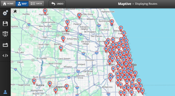
Plan routes with multiple stops and get turn-by-turn directions optimized for time or distance
Create sales territories using drawing tools or automatic generation based on your criteria
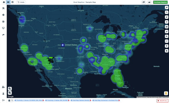
Build heat maps to spot customer concentrations and opportunity zones
Calculate distances between any points and measure areas with precision tools
Share maps through secure links, embed them in presentations, or export for reports
Compare Maptive’s GIS Features & More

Secure, Cloud-Based & Always Updated
Your data stays protected with Maptive’s enterprise security. All information is encrypted during transfer and storage. Weekly automated backups preserve your work. Two-factor authentication protects every account.
Since Maptive runs entirely in the cloud, you always use the latest version with current features and map data. No software updates to manage. No servers to maintain. Your IT team stays focused on other priorities while your mapping tools work reliably from any location.

Quick Start: Try It Risk-Free
Start your 10-day free trial without entering payment information. Upload your first dataset immediately. Access every mapping feature during the trial period. Build heat maps, create territories, and optimize routes. The support team provides live chat assistance and offers walkthrough calls to help you succeed. Most users create their first interactive map within minutes of signing up.
Maptive GIS Software FAQs
What is GIS software?
GIS software takes your data and shows it on a map. Think of it as turning addresses and coordinates into visual information you can actually use. You see patterns you’d miss in a spreadsheet. You spot opportunities. You make better decisions.
Traditional GIS platforms require installations and technical knowledge. Maptive works differently. It runs in your browser and uses Google Maps as its foundation. You get satellite views, street views, and multiple map styles without the complexity.
Do I need to install any software to use Maptive?
No. Maptive runs in your web browser. Open it on any computer, log in, and start mapping. Your maps save to the cloud automatically. When you switch devices, everything’s still there.
This matters because desktop GIS software takes hours to install and configure. Updates disrupt your work. Different team members run different versions. With Maptive, everyone uses the same platform, always up to date.
Can I upload my own data files to Maptive’s GIS Software?
Yes. Upload CSV files, Excel spreadsheets, or connect Google Sheets directly. The system reads your columns and maps addresses automatically. Have a list of 10,000 customer addresses? Upload it once and see them all on the map.
The import wizard handles messy data well. Missing zip codes? Abbreviated street names? The geocoding engine figures it out. Most users get their first map created in under five minutes.
Does Maptive work on smartphones and tablets?
Every feature works on mobile devices. View maps, edit data, plan routes, and share results from your phone or tablet. The interface adapts to smaller screens without losing functionality.
Field teams use this constantly. Sales reps check territory maps between appointments. Delivery drivers access optimized routes. Managers review performance data from anywhere.
What types of maps can I make with Maptive’s GIS Software?
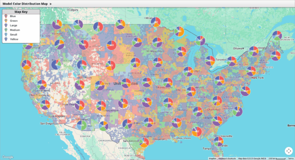
Start with pin maps to show locations. Add heat maps to see density. Create territories with geographic boundaries. Build radius maps for proximity analysis. Design store locators for your website. Plan multi-stop routes with optimization.
Each map type serves a specific purpose. Pin maps show where things are. Heat maps reveal concentration. Territory maps divide regions fairly. The platform includes them all, and switching between types takes seconds.
Can I share my Maptive maps with colleagues?
Yes, you can share maps three ways. Send a secure link that others can view. Set permissions so specific people can edit. Embed live maps on your website that update automatically.
Control matters here. Some maps stay private. Others go to select team members. Public maps embed on websites. You decide who sees what, and you can change permissions anytime.
Is there help or training for new users?
Support starts immediately. Live chat connects you with real people who know the platform. Video tutorials cover common tasks. The knowledge base answers specific questions. Weekly webinars show advanced features.
Users rate our support highly because we respond quickly and solve problems completely. No ticket systems. No waiting days for answers. Most questions get resolved in one conversation.
Does Maptive GIS Software support demographic data layers?
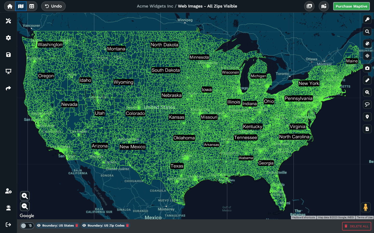
Census data overlays on your maps instantly. See population density, income levels, age groups, and education statistics. Compare your business data against demographic trends.
This combination reveals insights. A retail chain sees which stores serve high-income areas. A nonprofit identifies underserved communities. A delivery service spots growing neighborhoods.
Can I export my Maptive maps as images or PDFs?
Export any map as a high-resolution image or PDF. Choose your size and resolution. Include or exclude specific elements. Use these exports in presentations, reports, or printed materials.
The exports look exactly like your screen version. Custom colors, logos, and labels all transfer perfectly. Many users create monthly reports entirely from map exports.
Are route planning features included with Maptive?
Route optimization comes standard. Add multiple stops, and the system calculates the fastest path. Drag stops to reorder them. Export turn-by-turn directions to your phone.
This saves real time and money. One logistics company cut delivery times by 23% after switching from manual route planning. Sales teams visit more clients per day. Service technicians reduce windshield time.
How secure is my data?
Your data stays private on Google Cloud servers. Connections use SSL encryption. Regular security audits ensure protection. The platform meets GDPR and CCPA requirements.
Only you control access to your maps. Share them selectively or keep them completely private. Your competitors can’t see your customer locations. Your data remains yours.
What data file formats are accepted?
Upload CSV, Excel (XLS and XLSX), and tab-delimited files. Connect Google Sheets for automatic updates. The system handles files with thousands of rows easily.
Format flexibility matters because your data comes from different sources. CRM exports, marketing lists, and inventory systems all work. No need to reformat or clean data extensively.
Can I add Maptive maps to my website?
Embed interactive maps with a simple code snippet. Visitors can zoom, search, and interact without leaving your site. Maps update automatically when you change the underlying data.
Store locators are the most common use. Customers find nearby locations instantly. But companies also embed territory maps, service areas, and event locations.
How quickly can I make a new map with Maptive?
Most users create their first map in under five minutes. Upload a file, confirm the address column, and see results immediately. Complex maps with multiple layers take longer, but basic visualization happens fast.
Speed matters when you need answers quickly. A sales manager can map new leads before a morning meeting. A logistics coordinator can visualize today’s deliveries right now.
Is live customer support available?
Chat support responds during business hours, usually within minutes. Email support handles complex questions. Phone support comes with enterprise plans. Trial users get the same support as paying customers.
Good support makes the difference. When you’re stuck, you need help immediately. Our team knows both the technical side and common business use cases.
What makes Maptive different from other GIS software?
Three things set Maptive apart. First, it works immediately without installation or setup. Second, it includes business features like route planning and demographic data. Third, support actually helps when you need it.
Traditional GIS requires technical expertise. Basic mapping tools lack advanced features. Maptive sits between them, powerful enough for complex analysis but simple enough for anyone to use.
How does Maptive keep my data private?
User authentication protects account access. Encryption protects data transmission. Permission controls protect individual maps. Regular security updates protect against new threats.
You own your data completely. Delete it anytime. Export it anytime. We never sell or share your information with third parties.
What support does Maptive provide during the free trial?
Trial users access every feature. Support teams help with initial setup. Webinars show best practices. Documentation covers common scenarios. Most users accomplish their main goal during the trial period.
We want you to succeed before you pay. That means helping you import data correctly, create useful maps, and share results with your team.
Can Maptive replace desktop GIS platforms?
Yes. Most companies use GIS for visualization, territory planning, and location analysis. Maptive handles these tasks better than desktop alternatives.
Specialized spatial analysis still needs desktop tools. But if you’re mapping customers, planning routes, or analyzing markets, Maptive does everything you need.
How often does Maptive release new features?
Updates arrive quarterly. Recent additions include Google Places integration, enhanced APIs, and advanced analytics. Each update adds capabilities without changing the core interface.
Regular updates mean the platform improves constantly. Features users request often appear in the next release. Your investment gains value over time.