Interactive maps are a powerful tool that can be used to tell stories, share data, and engage audiences. There are a number of different tools available for creating interactive maps, each with its own strengths and weaknesses.
While all maps are a great way to display data in an easy-to-understand snapshot, interactive maps allow users the flexibility to zoom in and out, click on specific elements, and access the information they need.
They are so ubiquitous that you have probably been using this type of map without even realizing it.
In this article, we will discuss some of the most popular interactive mapping tools and their data analysis capabilities. We will also provide some tips on how to choose the right web-based mapping tool or software for your needs.
So whether you are a business looking to improve your marketing, a student working on a project, or just someone who loves maps, read on to learn more about how to create stunning maps, that are actually interactive.
The 5 Best Online Tools to Create an Interactive Map
Whether you search for “map maker”, “map builder”, or “map creator” you are sure to find myriad options for creating maps online.
In fact, entering any of those options in your search bar might result in you feeling utterly overwhelmed. Most importantly, which one is going to be the best mapping software to truly help create your own interactive online map, while also giving you access to different map styles, providing an embed code, letting you add photos, and allowing you access to geographic information?
We are here to help you answer that question.
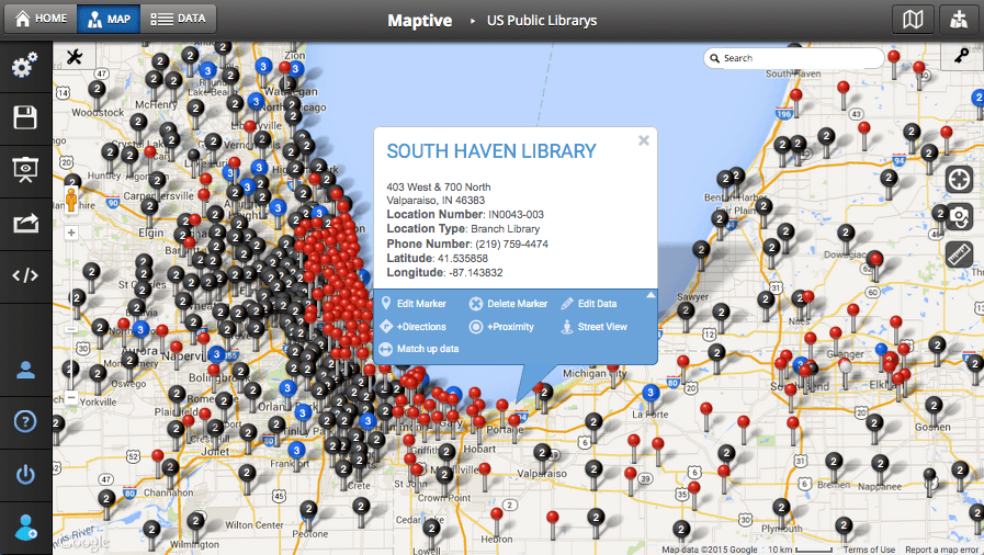
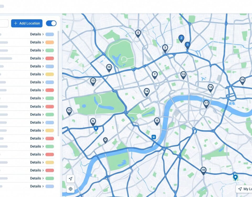
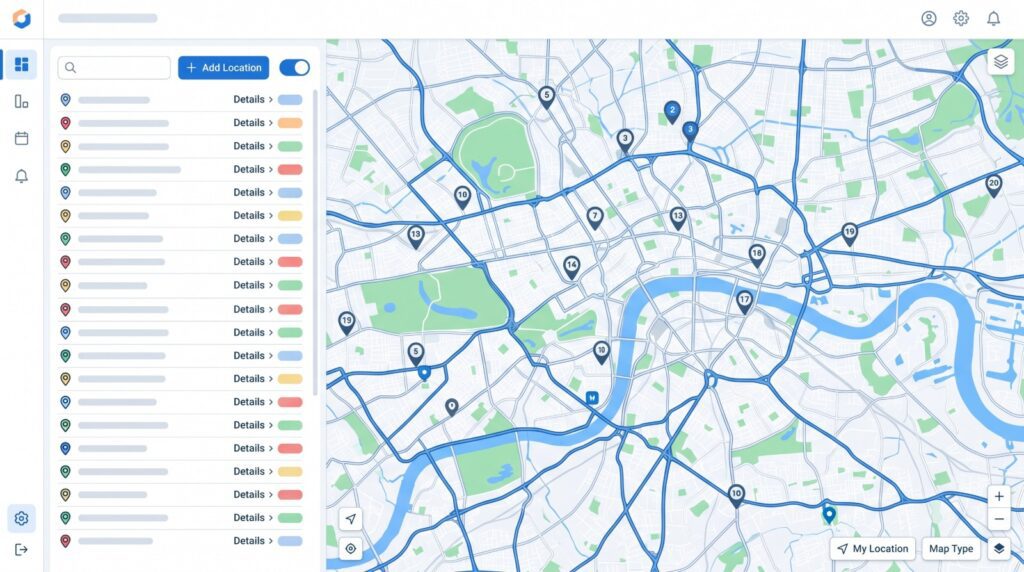
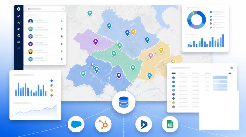
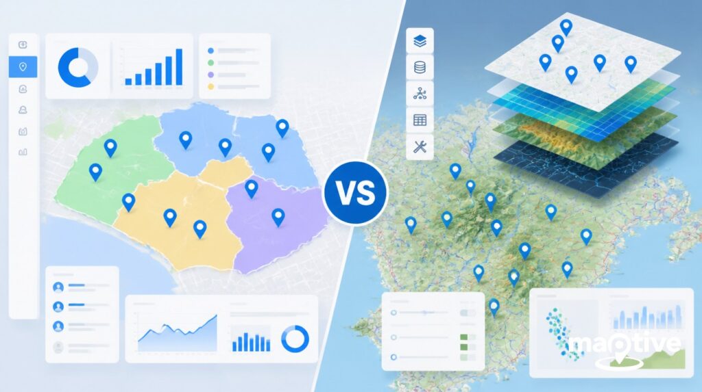
1. Maptive
Maptive is the most versatile online tool for anyone who wants to create interactive maps. You can use it without any coding skills and explore all its features to display geographic data, upload your own data from Excel or Google Sheets, customize a world map, embed maps and visualization on a web page, and so much more.
If you are new to data visualization, Maptive is incredibly user-friendly. You can get started for free and upload your own data set or use geospatial data built into the software, and play around with all its customization features: upload your own marker images, add photos, edit colors, select unique icons, and so much more.
For more advanced or business users, it also offers a host of technical tools like customer location mapping, territory creation, drive time polygons, radius maps, heat mapping, and even a multi-stop route planner.
Here’s what some of Maptive users have to say about one of the best interactive maps software:
- I have used several mapping tools, and Maptive is by far the most user-friendly and most comprehensive tool available.
Nicole – Verified User G2 - Very satisfied customer! The seamless integration with Google Maps makes the customization totally efficient and the output familiar and easily presentable!
Casey H. – Verified User G2 - Excellent geo-data front-end tool for presentations and business visualization.
Scott D. – Verified User G2 - Most trusted mapping tool. I love the heat map and the sharing capability is very efficient. The initial data upload step is easy and the settings toolbar is very intuitive. There are built-in tutorials and demos in case you need assistance along the way.
Danny L. – Verified User G2
Start a 10-day free trial of Maptive
2. Esri
Esri is a great online interactive map creator for GIS power users looking to do spatial analysis. ESRI offers several data visualizations, including animations such ass flythroughs, time series, and real-time maps.
3. MapBox
Mapbox is a great tool for creating maps, but it requires technical expertise to use. You can use it to create your own custom map, or pick one of their templates. This is a great way to create maps if you are technically inclined or have developer experience.
While it offers many features, like a Smart Directions API and GL JS built-in functions, it can be rather complex and expensive–especially if you sign up for email support or a product expert.
4. Google Maps
Most of us use Google Maps for directions and to find stores and restaurants, but the Google Maps API also allows individuals and businesses to create their own maps.
Most of the design features don’t require coding and their tutorial library can help even more inexperienced map creators navigate their advanced features. Their pricing varies based on usage and scale, but it may be less convenient for smaller users, especially after the price increases they announced back in 2018.
5. Visme
Visme is a dream tool for content creators trying their hand at creating custom maps. It can help not just with maps, but also with infographics and charts: so that when readers interact with them, they can see more detailed information and all the data you researched.
While it does not include any technical features, the platform is easy to use and has everything you need to make your interactive map very engaging, including customizable options for borders, pins, and color coding.
Tracking the Pandemic
During the COVID-19 pandemic, news outlets created interactive maps to show the rates of infection by state, city, and county, often publishing these maps so that people could zoom in and search for specific data.
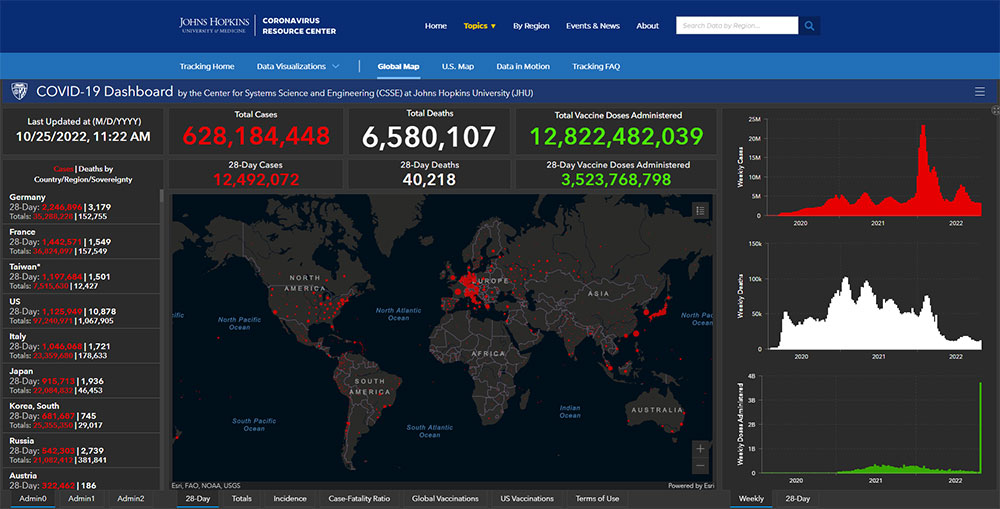
Image Source: John Hopkins – Coronavirus Resource Center
Around Elections
Any time we are called to vote, political parties create their own interactive maps to forecast electoral outcomes. Then we spend whole days and nights staring at those maps as they get updated with actual results from voting sites.
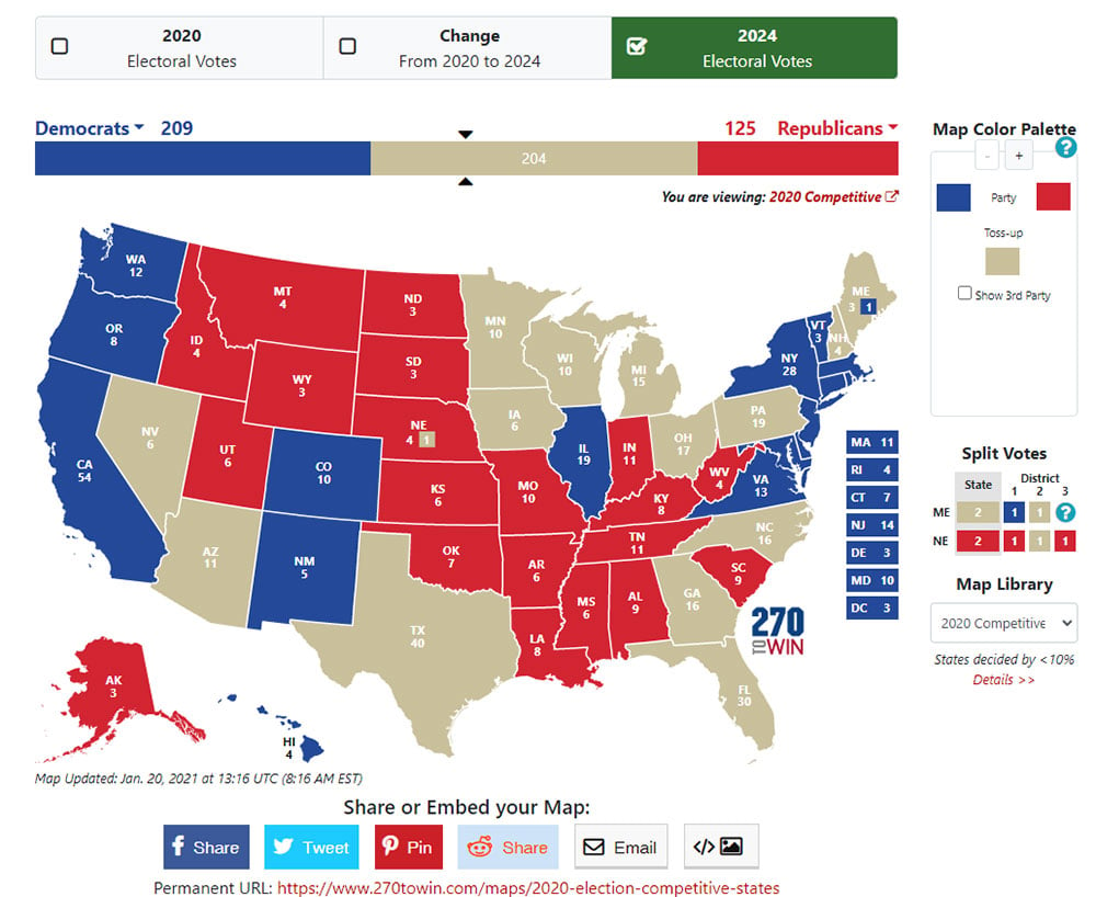
Image Source: https://www.270towin.com/
In School
We also see interactive maps being used more and more in schools to show migration patterns, population density over the centuries, and even the evolution of different civilizations as one region gained prominence over another thanks to newly forged trade routes or following natural disasters.
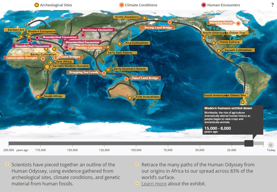
Source: California Academy of Sciences – Human Odyssey
Business Growth
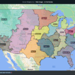
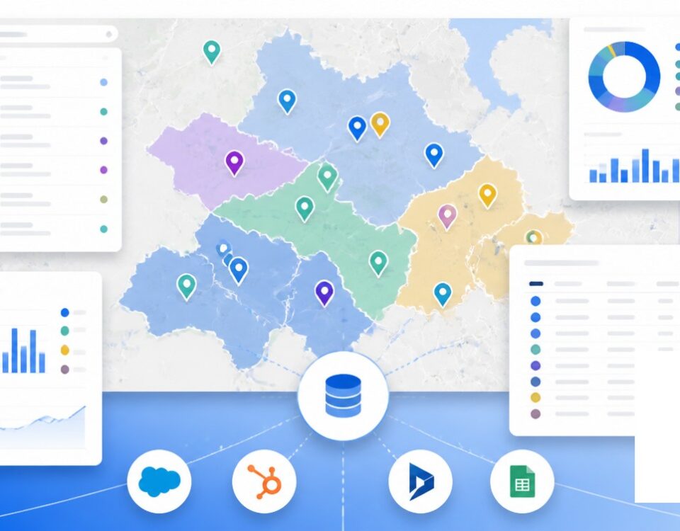
Those of us who work with sales, marketing, or logistics departments know that interactive maps are a key tool for short-term and long-term planning. They can guide sales teams as they manage sales territories; they can show marketing departments where new areas of opportunity might lie; and they are an invaluable resource to help coordinate supply chains, optimize delivery routes, and even determine new business locations.
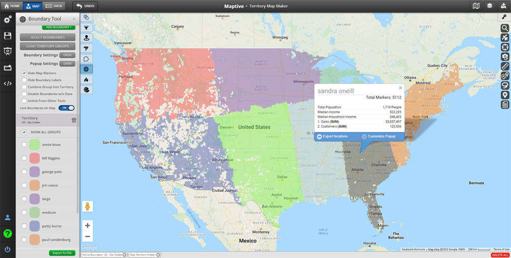
Image Source: Maptive Geographic Boundary Tool
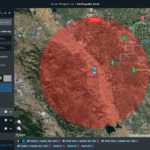
Public Planning
State governments and local authorities often use interactive maps to monitor weather events and communicate with the public. If you live in an area that gets easily flooded, or in a state plagued by hurricanes or tornadoes, you have often seen these types of maps broadcasted in the news or on government websites.
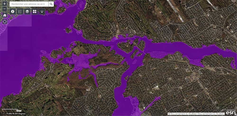
Image Source: Government of Quebec – Flood Zone Maps
These are just some of the most common ways interactive maps show up in our everyday life, but truly their applications are limitless.
Tourism
Interactive maps are a great way for tourists to plan their trips and figure out all the landmarks, restaurants, museums, and activities they want to get to ahead of time. Depending on the destination, interactive maps might also help tourists find out about public transportation options, the weather, and upcoming events.
Transportation
If you commute for work, interactive maps are a great way to plan your morning and evening travels, since they can show you options for public transportation, as well as traffic conditions and road closures.
On the other hand, if driving is literally part of your job, interactive maps can help you plan your routes, avoid traffic congestion, and even point out where the best rest stops are. This can help you save time and money, and it can also help you stay safe on the road.
Common Types of Interactive Maps
Everywhere you look, mapping software generates interactive maps that are the solution to visually display complex data sets in a clear and concise way.
- In-App Interactive Maps: if you’ve ever ordered your daily Starbucks before getting to the store, you are already familiar with this type of interactive map. Not only can you select the location that is most convenient for you right from the interactive map built into the app, but you can also see if they are out of your favorite breakfast sandwich or if they are running any special promotions.
- Interactive Website Maps: have you ever experienced unplanned interruptions to your electricity? The vast majority of service providers embed interactive maps into their websites where users can go check for outages and repair status, so you are always aware of what’s happening and how long a blackout might last.
- Interactive Maps for Students: whether in your own academic journey or as a parent, you know that interactive maps are a big part of education and research. It’s a lot easier to understand a map showing the concentration of vegetation and water vapor across the globe than to get that same information through spreadsheets and pages of annotated research.
- Interactive Maps for Presentations: if you have ever had to make the case to expand your sales team or delivery fleet, you know that showing data points on an interactive map can be a game changer. Added to your business presentation, an interactive map can go a long way in helping your boss visualize the extent of the business opportunities you are trying to unlock.
- Collaborative Interactive Maps: sometimes, the whole point of creating interactive maps is not only to show data but also to acquire data. With the right software, your teams can collaborate and drop pins in your map, draw on it, leave notes on various locations, or color-code different areas–delivering a unique custom map.
- Real-Time Traffic Maps: most of us use interactive maps that show real-time traffic conditions every single day. Whether you prefer the classic Google Maps, the more community-based feeling of Waze, or like keeping it simple with your car’s GPS system, when you’re on the road, these maps can provide up-to-date information on traffic conditions, including congestion, accidents, road closures, and alternative routes.
- Interactive Event Maps: if you’ve ever been at a conference, you know how difficult it can be to navigate unfamiliar venues and figure out where everything is. Specific areas–such as stages, booths, food stalls, restrooms, and parking–can be oddly laid out, and keeping track of events happening at various moments is near impossible. Interactive maps can enhance the overall event experience and improve crowd management.
- Interactive Property Maps: real estate companies and property developers often share interactive maps with their clients to showcase available properties, their locations, and surrounding amenities. And if you’ve ever indulged in virtual house hunting, you know that Zillow does this beautifully. These maps can help potential buyers or renters visualize the properties and choose their perfect home or business location.
- Interactive Weather Maps: what do you do first thing in the morning? Yup, you make coffee and then immediately open up the weather app, come rain or sunshine. This type of interactive map displays real-time weather conditions, forecasts, and satellite imagery, allowing users to zoom in on specific regions and access detailed weather information, such as temperature, precipitation, wind speed, and storm tracks. You often find this kind of map on websites and apps from weather agencies and news organizations.
- Interactive Social Media Maps: we all understand that publicly sharing your location on social media can be an unwise choice for privacy and safety reasons. Yet, for those who dare, social media platforms offer interactive maps that can show where your friends are, display check-ins, and show trending topics across different locations. From a business perspective, these maps provide insights into social media activities and can be used for marketing, event planning, and trend analysis.
Create Interactive Maps for FREE
Maptive mapping software can change the way you do business, create content, and present your research. Customize interactive maps as you prefer, manage how elements and icons show up on display, and create custom map markers and styles that are unique to you and your business.


