Free Online Tool
KML to Excel Converter
Turn the pins in a Google Earth or My Maps file into a working Excel sheet. Drop your KML below and download an .xlsx where each placemark sits on its own row, ready for filters, formulas, and a quick chart the moment it opens.
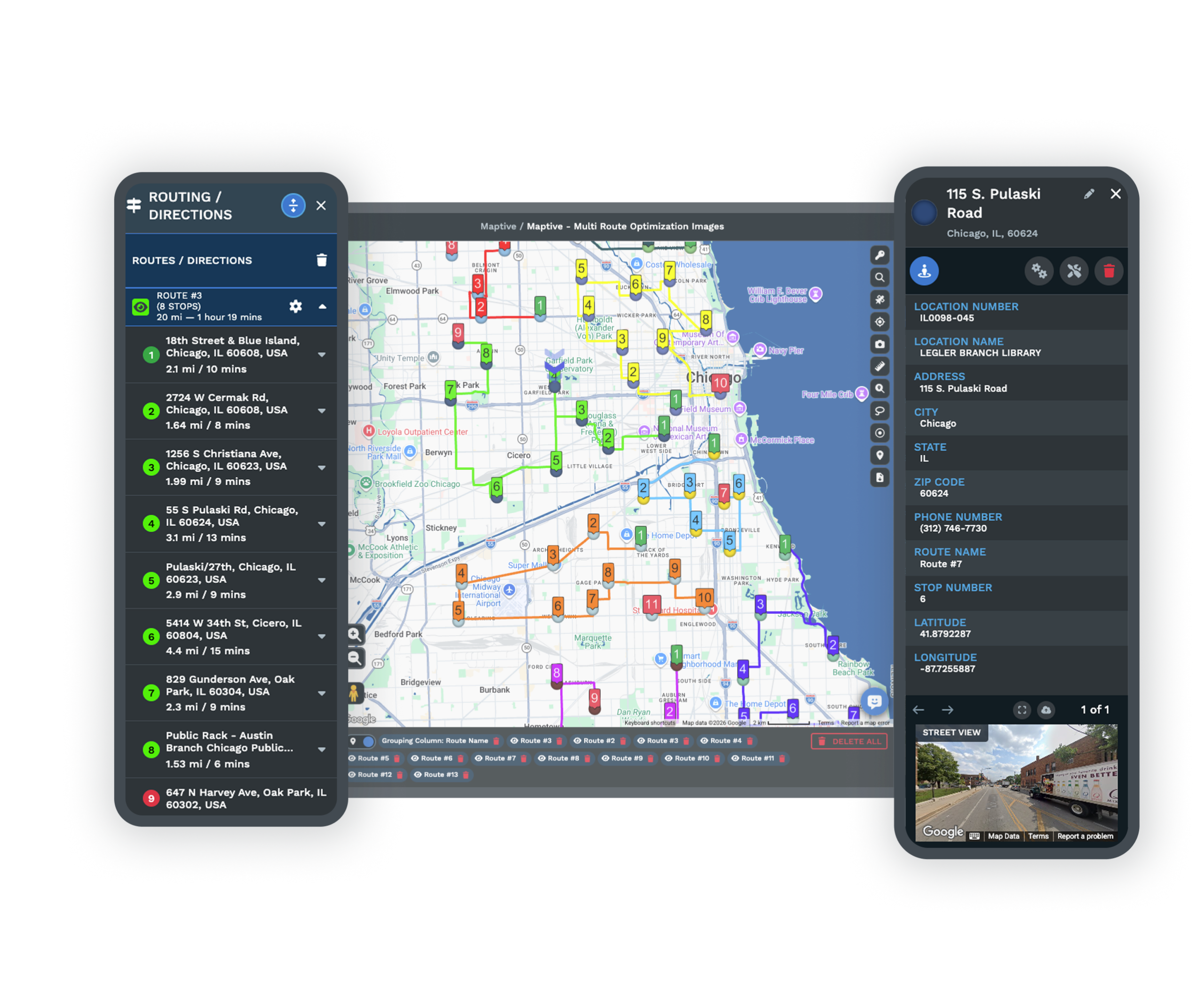
Want these locations on a live map instead? Maptive plots them in minutes.
Trusted by teams at


How it works
Three Steps From KML to Excel
The tool is free and there is nothing to download or install. Everything happens in the box at the top of this page.
Upload your KML
Pick your file or drag it in. Whether it came out of Google Earth or My Maps, the tool handles it the same way.
Build the workbook
A single click turns every placemark into a row and assembles a real .xlsx in your browser, sheet, headers, and all.
Open it in Excel
Download the workbook and open it straight away in Microsoft Excel, Google Sheets, or Numbers to start working.
Before and after
From XML Tags to a Working Sheet
A KML file keeps each pin wrapped in layers of XML. The converter unwraps it into a single spreadsheet where the data is finally easy to sort and total.
<Placemark>
  <name>Denver HQ</name>
  <Point>
    <coordinates>-104.99,39.73</coordinates>
  </Point>
</Placemark>
| Name | Latitude | Longitude |
|---|---|---|
| Denver HQ | 39.73 | -104.99 |
| Austin Branch | 30.27 | -97.74 |
| Chicago Store | 41.88 | -87.63 |
Your real workbook holds the full picture. Beyond the coordinates it adds the description, each saved data field, the geometry type, and a WKT column with the entire shape.
Why convert
What an Excel Workbook Gives You
Google Earth shows where your pins sit. Excel tells you what they add up to, with formulas, filters, and charts that a map alone cannot offer. When you want them mapped again, Maptive rebuilds the view from the same file.
Run formulas across your pins
Sum a column, average a figure, or flag the outliers. Once each placemark is a row, every Excel calculation is on the table.
Pivot and summarize
Spin up a pivot table to break your locations down by region, type, or any field you saved, and watch the totals fall into place.
Chart what you mapped
A column of numbers next to your pins becomes a bar or pie chart in a couple of clicks, ready to drop into a report.
Format it for sharing
Bold the headers, color a status column, freeze the top row. A workbook can be made presentable in ways a raw map never can.
Keep names and notes intact
The label on each pin, its description, and your custom fields all arrive as columns, so nothing you wrote in Google Earth is lost.
Carry paths and regions over
Saved routes and drawn areas convert as well, each with a geometry label and a WKT column holding the full outline.
Your File Stays With You
The workbook is built right inside your browser using your own copy of the KML. Nothing is uploaded and nothing is stored once the page closes, so location data you would rather keep in house never travels. With no server in the loop the .xlsx is ready the instant you click, and you can convert as many files as you like for free.
The difference
KML Next to Excel
One is for seeing places on a globe. The other is for working the numbers behind them.
KML
- The native format of Google Earth
- Stores placemarks and shapes in XML
- Built for viewing geography on a map
- Not meant for tables or formulas
Excel
- A spreadsheet workbook saved as .xlsx
- Formatted cells across one or more sheets
- Ready for formulas, pivots, and charts
- Opens in Excel, Google Sheets, and Numbers
Next step
Put Your Locations Back on a Live Map
After the analysis, put the locations back on a map. Import the workbook into Maptive and reach for these.
Custom Map Markers
Each row in your workbook becomes a styled marker, so the spreadsheet you analyzed turns back into a map people can read.
Explore →Heat Mapping Tool
Shade your places by any number in the sheet and the busiest pockets rise to the surface instead of hiding in cells.
Explore →Territory Map Maker
Group the mapped pins into territories and fine-tune them, building straight from the data you just worked on in Excel.
Explore →Free trial with the full platform and no credit card
Map the Numbers You Just Crunched
Excel is where you make sense of the data, and Maptive is where you show it. The ten-day trial unlocks the whole platform, so you can import your workbook, style each location, weight a heat map, and carve out territories. Starting takes no credit card.
FAQ
Frequently Asked Questions
How do I convert a KML file to Excel?
Drop your KML onto the converter or browse to it, then click convert. It reads every placemark and assembles a real Excel workbook with a row for each one, then offers the .xlsx to download. The whole thing happens in your browser within seconds.
Is it a true Excel file or a renamed CSV?
It is a genuine .xlsx workbook. The data lands on a real sheet with header cells, so you can apply formulas, build pivot tables, and add charts the moment you open it in Excel, Google Sheets, or Numbers.
What is a KML file in the first place?
It is the XML based format Google Earth and Google My Maps use to store pins, routes, and shapes alongside their names and notes. It is built for viewing places, not for crunching them, which is why a spreadsheet is often the next stop.
Do I have to pay or sign up?
Neither. Convert as many KML files to Excel as you need, free and without an account. Maptive offers a ten-day trial for mapping the data later, but the converter itself asks nothing of you.
Is my data sent anywhere?
No. The workbook is created on your own device and the KML never leaves it. Once you close the page, nothing remains, so sensitive locations stay with you.
What will the columns look like?
The sheet opens with Name and Description, then a column for each custom field in the file, followed by Latitude, Longitude, a Geometry label, and a WKT column for the full shape. Missing values leave the cell blank.
Will my placemark details survive?
Yes. The name, the description, and every custom data field you saved in Google Earth come across as their own columns, lined up beside each location.
Does it cope with lines and polygons?
It does. Points give a row with latitude and longitude, while lines and polygons give a row with their first coordinate, a geometry label, and the entire outline in the WKT column.
Can I map the spreadsheet again later?
Absolutely. Import the workbook into Maptive and every row returns to the map as a marker you can style, weight, group into territories, and share.

