Free Online Tool
GeoJSON to CSV Converter
Working with a GeoJSON file from a web map or an API? Drop it in to flatten every feature into plain CSV rows, with each property in its own column beside the coordinates. It is the fastest way to hand spatial data to someone who lives in a spreadsheet rather than in code.
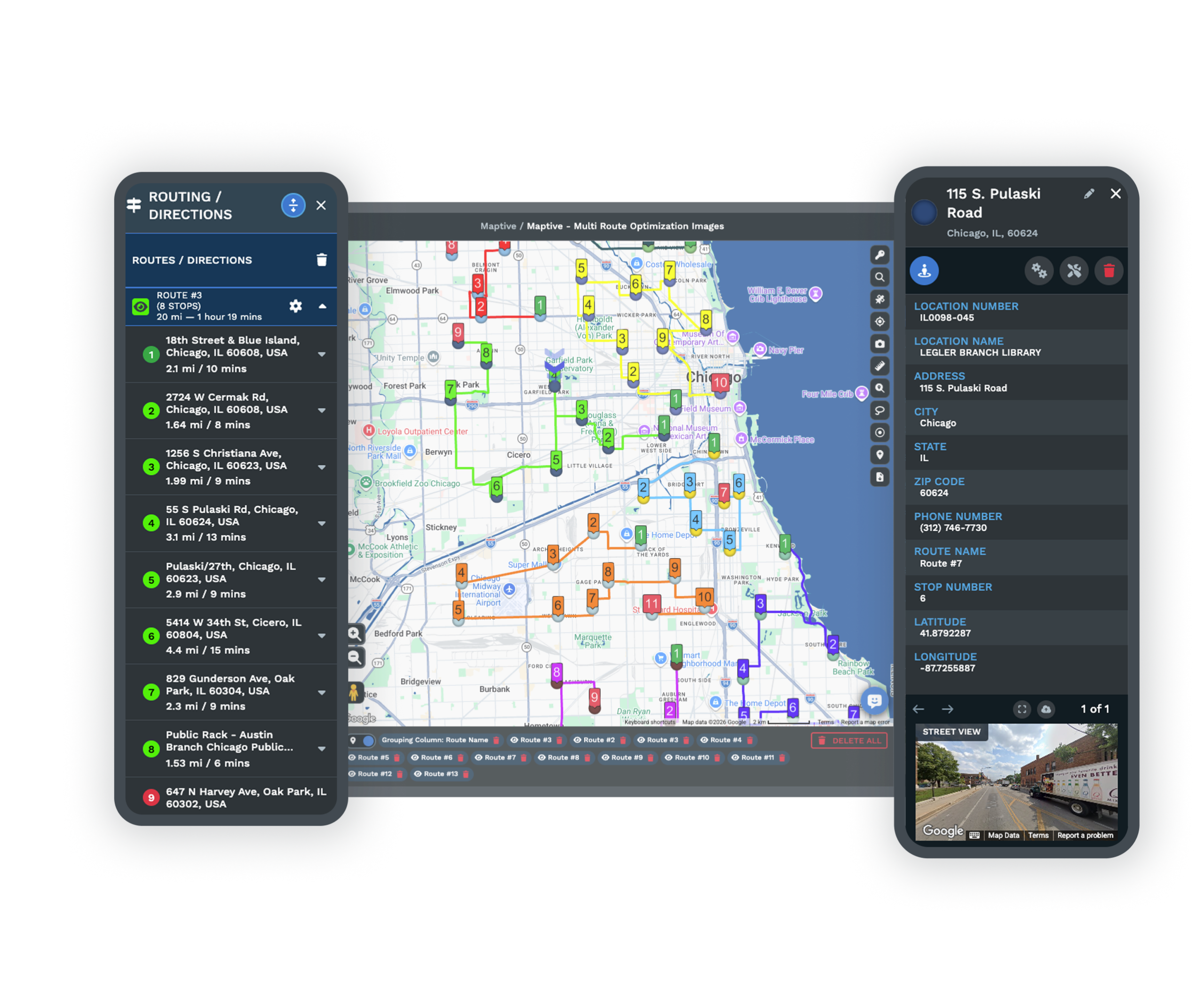
Want these locations on a live map instead? Maptive plots them in minutes.
Trusted by teams at


How it works
Three Steps From GeoJSON to CSV
The tool is free and there is nothing to download or install. Everything happens in the box at the top of this page.
Add your GeoJSON
Drop the file in or browse for it. Exports from web maps, GIS tools, and API responses are all welcome.
Flatten the features
One click reads each feature, pairs its geometry with its properties, and lays everything out as rows, right in the browser.
Take the CSV
Download the result and open it in any spreadsheet, or pipe it into whatever tool expects a flat table.
Before and after
From Nested JSON to a Flat Table
GeoJSON nests geometry and properties inside braces that are easy for code and awkward for people. The converter flattens them into columns anyone can scan.
{
  "type": "Feature",
  "properties": { "name": "Denver HQ" },
  "geometry": {
    "type": "Point",
    "coordinates": [-104.99, 39.73]
  }
}
| Name | Latitude | Longitude |
|---|---|---|
| Denver HQ | 39.73 | -104.99 |
| Austin Branch | 30.27 | -97.74 |
| Chicago Store | 41.88 | -87.63 |
Your file brings more than a name. Every property across your features becomes a column, joined by Latitude, Longitude, a Geometry label, and a WKT column for the full shape.
Why convert
Why Flatten GeoJSON to CSV
GeoJSON is a developer's format. The instant the data needs to reach a spreadsheet, a report, or a teammate who does not write code, a CSV is the common ground. And when it should be a map again, Maptive reads it back in.
Bridge code and the spreadsheet crowd
A CSV lets the people who never open a code editor work with data that started life in an API response.
Inspect an API payload quickly
Dump a GeoJSON response into a table and you can eyeball the records, spot gaps, and sanity-check a feed in seconds.
Trim and reshape the data
Drop columns you do not need, fix a stray value, or split a field. Editing is simpler once the features are flat rows.
Load it into anything
From spreadsheets to BI dashboards to databases, a CSV is the format that travels everywhere GeoJSON does not.
Keep every property
Whatever each feature carries, a name, a category, a count, lands in its own column next to the coordinates.
Flatten lines and polygons too
Features are not only points. Lines and areas convert as well, each with a geometry label and the full shape in a WKT column.
It All Happens Locally
Your GeoJSON is parsed and the CSV is written entirely in your browser, so the file never reaches a server and nothing is retained after you close the page. That keeps proprietary feeds and private coordinates on your own machine. Because nothing uploads, the conversion is immediate, and there is no limit on how many files you run or any cost to run them.
The difference
GeoJSON Versus CSV
Both store the same places, but one is shaped for machines and the other for a grid you can read.
GeoJSON
- A JSON format used across web maps
- Each feature pairs geometry with properties
- Favored by developers and mapping APIs
- Compact to send, hard to scan by eye
CSV
- A simple comma separated table
- Each line a record, each column a field
- Understood by spreadsheets and databases alike
- Small, portable, and quick to clean
Next step
Put Your Locations Back on a Live Map
Need the data as a map and not a table? Import the CSV into Maptive and these tools take over.
Custom Map Markers
Every row becomes a marker you can style and label, turning an API export into a map a non-developer can actually use.
Explore →Filter Data
Slice the map by any column from your file, so a long feed narrows down to just the records you care about.
Explore →Share, Embed & Export
Publish the map as a link or embed, handing stakeholders a view without ever sending them raw GeoJSON.
Explore →Free trial with the full platform and no credit card
Give Your Data a Map, Not Just a Table
A CSV makes the data readable, and Maptive makes it visual. The ten-day trial opens every feature, so you can import your file, drop each feature on the map, filter it down, and share the result with people who never see the code. No card needed to begin.
FAQ
Frequently Asked Questions
How do I convert a GeoJSON file to CSV?
Drop your GeoJSON onto the tool or browse to it, then hit convert. It reads each feature and builds a CSV with one row per feature, ready to download. It runs in your browser and is done almost instantly.
What is GeoJSON used for?
GeoJSON is a JSON based way to describe geographic features, each made of a geometry and a set of properties. Web maps, GIS software, and APIs lean on it because it moves cleanly between systems, though it is hard to read in raw form.
Is there any cost or signup?
No on both counts. Convert as many files as you like for free without an account. Maptive has a ten-day trial if you want to map the output, but the converter is open to everyone.
Does my file get uploaded?
It does not. Parsing and writing both occur on your device, so the GeoJSON never leaves and nothing is stored afterward. Private feeds stay private.
What columns will I get?
One column for every property found across your features, then Latitude, Longitude, a Geometry label, and a WKT column for the full shape. Where a feature lacks a property, the cell is left blank.
Will it read a file from any tool?
Yes, as long as it follows the GeoJSON standard. A FeatureCollection or a single feature from a web map, a GIS export, or an API response all convert the same way.
Can it handle lines and polygons?
It can. Points produce a row with latitude and longitude, while lines and polygons produce a row with their first coordinate, a geometry label, and the complete outline in the WKT column.
Do my feature properties carry over?
Every one. Each property becomes its own column, so the attributes attached to your geometry sit right beside each record in the CSV.
Can I map the CSV afterward?
Yes. Bring the CSV into Maptive and each row plots as a marker you can filter, style, and share without exposing the underlying file.

