
A ZIP Code is a unique five-digit numeric code designed to streamline the distribution of mail by the United States Postal Service (USPS). ZIP is an acronym for Zone Improvement Plan, and contrary to common misconceptions, a ZIP Code is not a geographic area but rather a delivery sort sequence. The USPS postal code system does not explicitly associate regions with ZIP Codes; instead, postal codes serve as organized lists of addresses for efficient mail delivery.
Boundaries can emerge through the amalgamation of smaller areas based on the predominant ZIP Code in each, as outlined by the U.S. Bureau of the Census. Nevertheless, this method is an approximation due to potential carrier route overlaps and regions lacking deliverable addresses. ZIP Codes areas often transcend the boundaries of cities, towns, counties, or states.
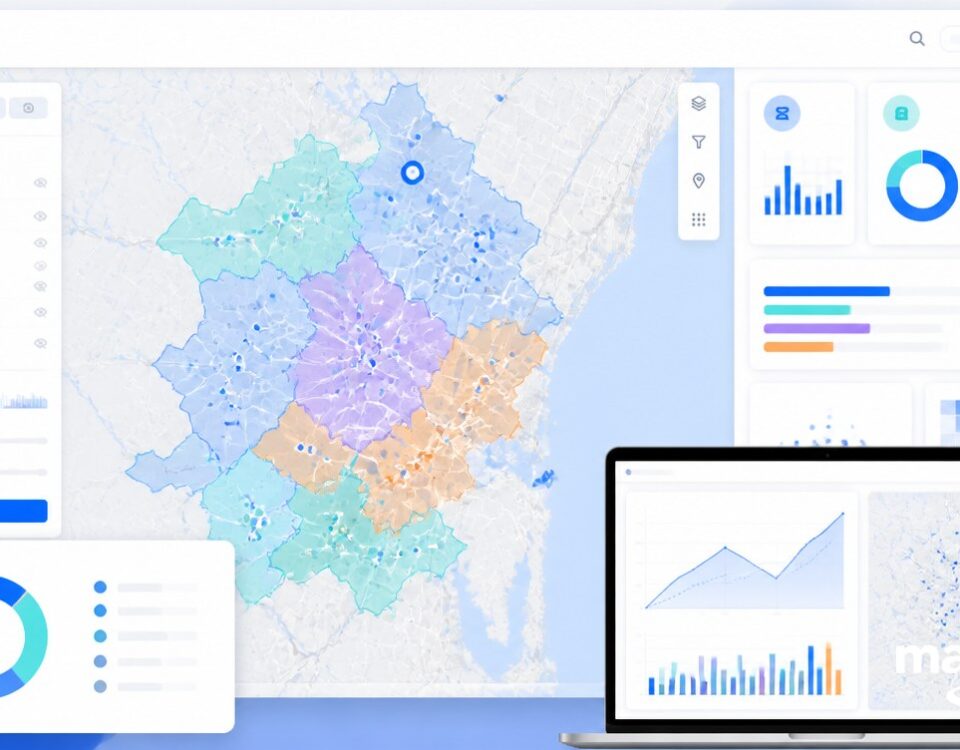
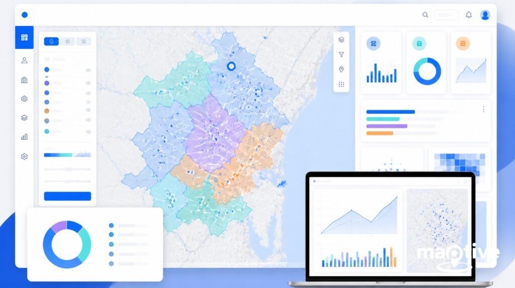
Maptive Version 5 Zip Code Map (Coming Mid-2024)
What Are Zip Code Maps Used For?
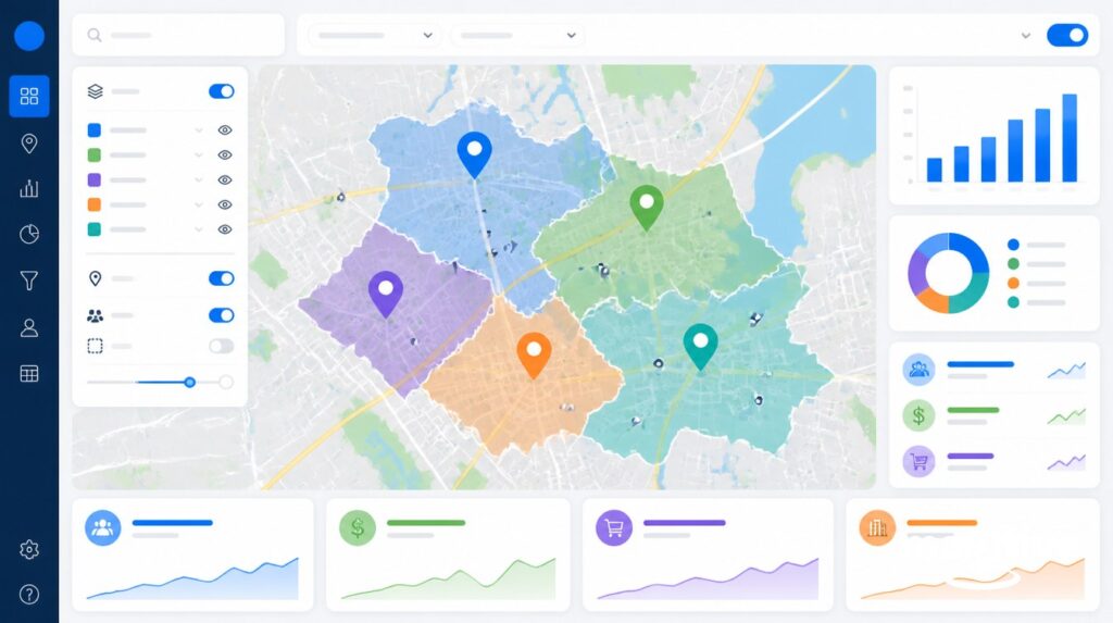
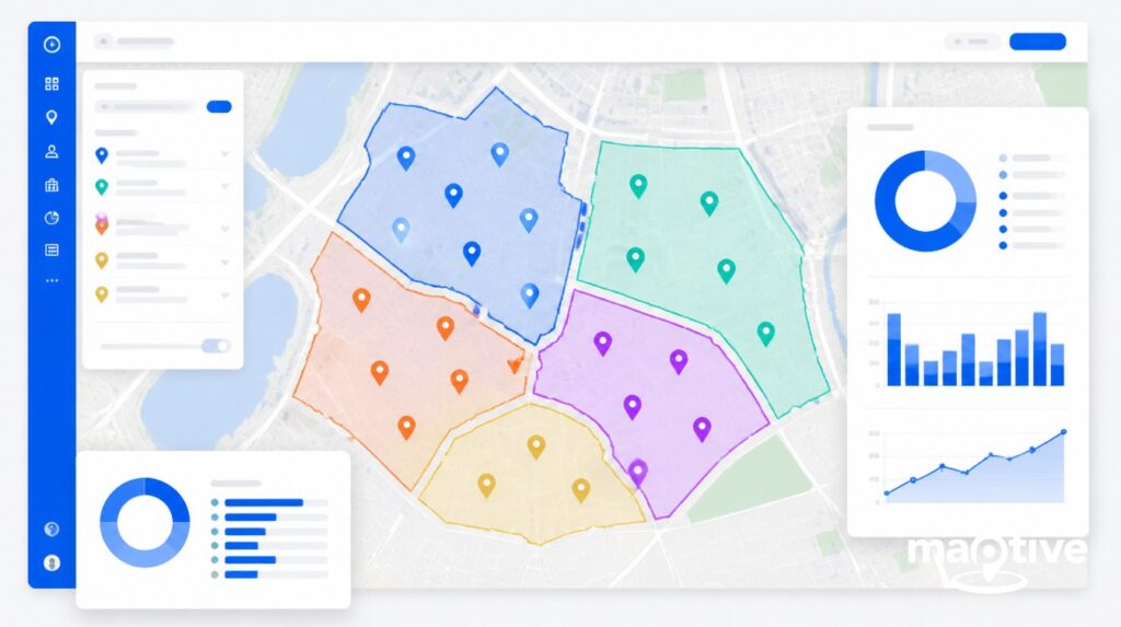
Visualizing ZIP Code data is made seamless with Maptive Mapping Software, known for offering the most accurate ZIP Code areas information available.
Depending on your specific needs, Maptive offers a wide range of ZIP Code map options that can help streamline business decisions, especially for marketing and sales teams:
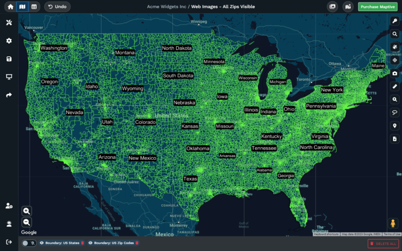
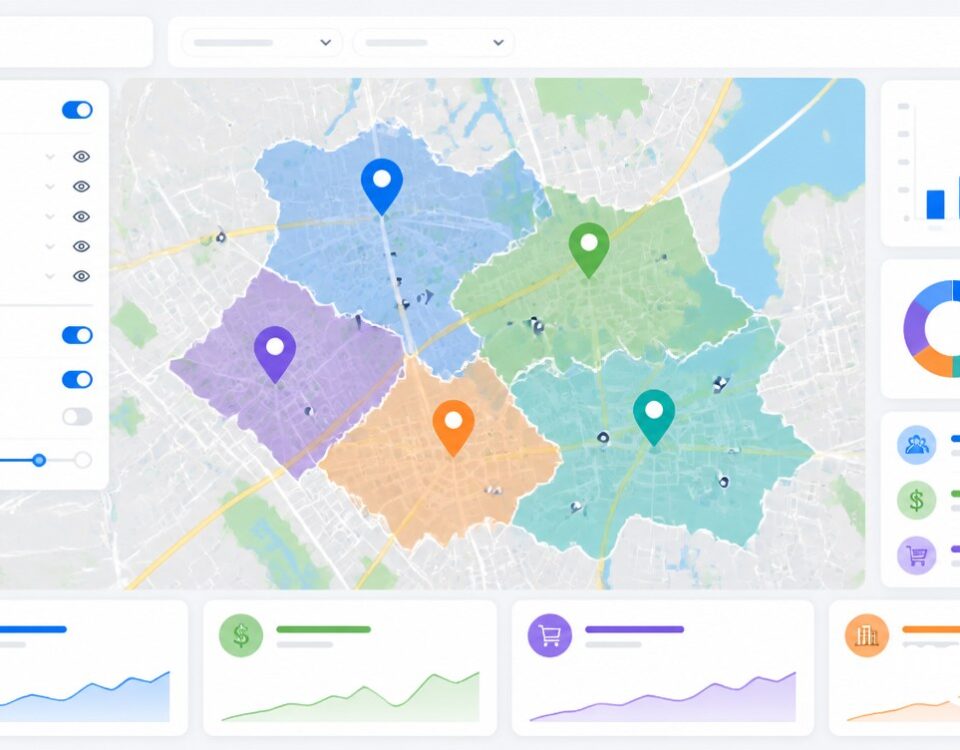
- ZIP Code Boundary Maps visualize the geographic boundaries of ZIP Code areas, providing an overview of address distributions across regions.
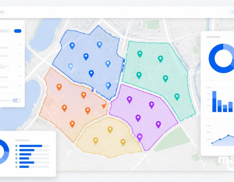
- Point Maps represent each ZIP Code as a point on the map, offering a clear depiction of specific code locations.
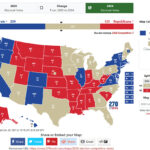
- Sales Territory Maps use postal codes to define sales territories, and that helps businesses optimize their coverage and distribution strategies.
- Data Aggregation Maps are great at revealing insights into trends, patterns, or concentrations within specific regions.
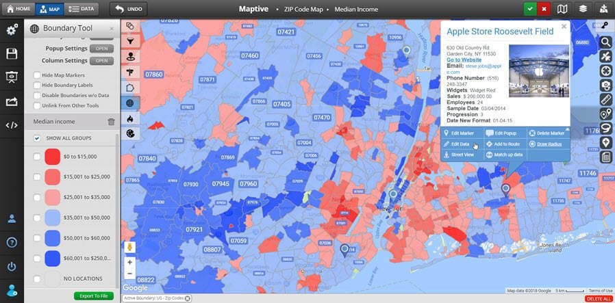
- Demographic Analysis Maps analyze Census demographic data at the ZIP Code level, gaining deeper insights into population characteristics and trends.
- Business Counts Maps show ZIP Code Level Aggregate Business Counts in both summary and detailed formats, supporting market analysis and decision-making.
- Route Planning Maps incorporate ZIP Code data into route planning, streamlining delivery or service routes for optimized logistics.
- Customizable Boundary Maps can help show clusters or specific geographic criteria, facilitating tailored and targeted analyses.
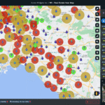
- Heat Maps based on ZIP Code areas can highlight locations of interest or concentration, offering a visual representation of intensity.
Conclusion
Simply put, ZIP Codes are numerical codes comprising five digits with the purpose of streamlining the distribution of mail by the United States Postal Service (USPS). By using Maptive to create a Zip Code map you can analyze and comprehend the geographical impact of postal codes on businesses.
Through Maptive, you can effortlessly create a Zip Code map, aggregate data spatially based on ZIP Codes, draw sales territory maps derived from ZIP Codes, and delve into Census demographic data at the ZIP Code level.
To experience the Maptive advantage sign up for their free 10-day trial.


