Use Maptive’s drive time polygon tool to generate travel time maps.
What is a Travel Time Map?
Travel time maps are designed to show you where you can travel in a certain amount of time, whether that be by car, public transit, or another mode of transport.
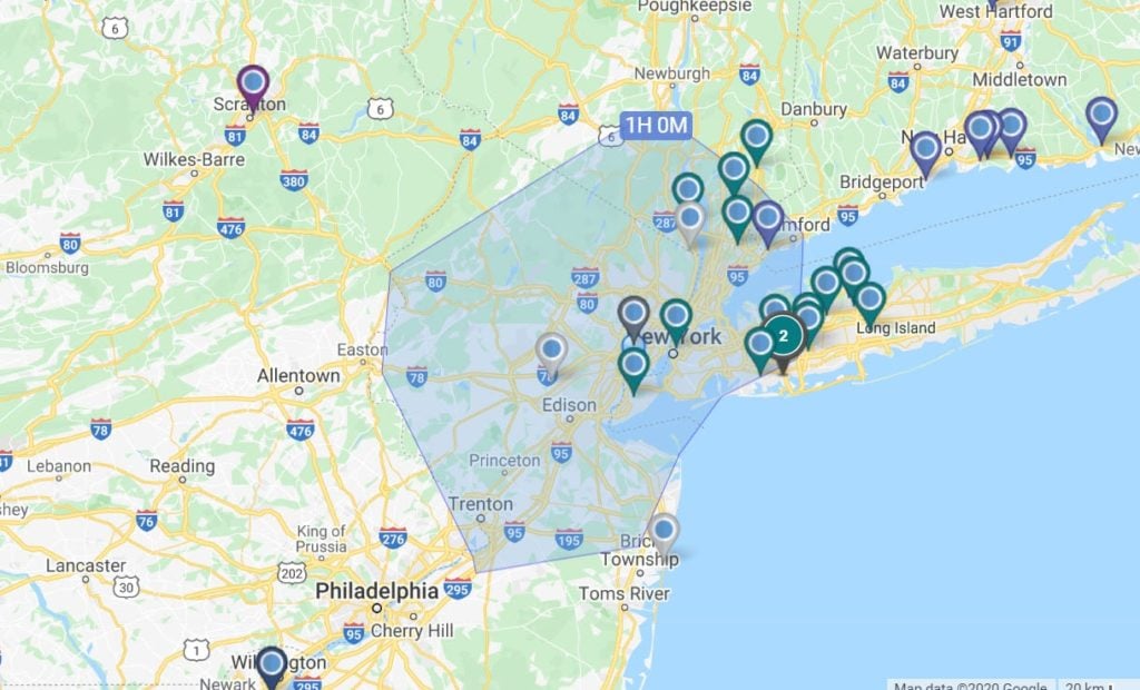
For example, let’s say you’re visiting New York City and you want to know how what landmarks you could reach in a certain amount of time. A travel time map uses estimated drive time, based on available routes, the speed limit, and current traffic conditions to draw the area that can be reached in a given amount of time.
What are Travel Time maps used for?
- Business site selection/location intelligence
- Retail site selection
- Supply chain/logistics optimization
- Vacation & travel planning
- Real estate
- Sales territory optimization
- Network coverage assessment
How to Create a Travel Time Map with Maptive
Maptive uses Google Maps API and a user-friendly interface to make creating travel time maps easy.
- Sign up for your Maptive free trial account.
- Upload your location data directly from a spreadsheet, copy and past it into Maptive, or enter it manually.
- Click “Create Map” to instantly plot your data on an interactive map.
- Click the Tools icon in the top right corner of your screen.
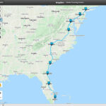
- To find the distance between two locations, select the “Routing / Directions” tool. Enter your starting location and your destination to see the travel time. You can also add additional stops and determine the time to travel between each one.
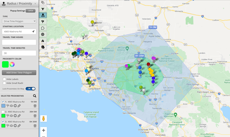
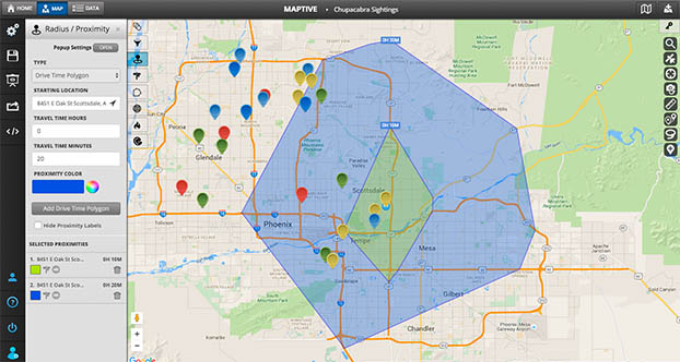
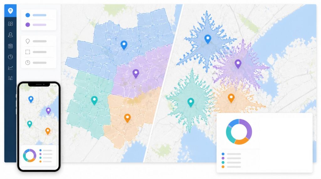
- To create an isochrone map, select the “Distance Radius / Drive Time Polygon” tool, then under “Type” select “Drive Time Polygon.” Enter your starting location and then your drive time to generate your map.
What Can You Use Travel Time Maps For?
Travel time and isochrone maps have many different uses:
For Consumers
- Determine how long it will take you to reach appointments and meetings.
- See how long it will take you to travel somewhere you’ve never been before.
- Discover restaurants, coffee shops, gas stations, and landmarks that are reachable in a certain amount of time from your current location.
For Businesses
- Outbound sales reps can schedule appointments based on the drive time between clients.
- Assign clients to sales reps based on travel time.
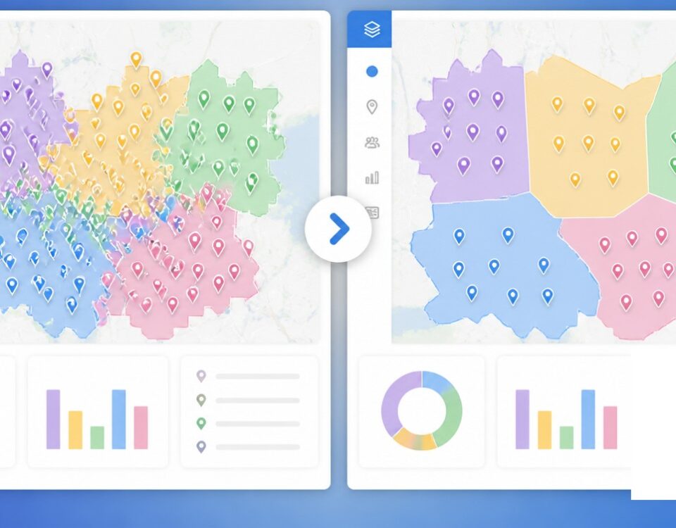
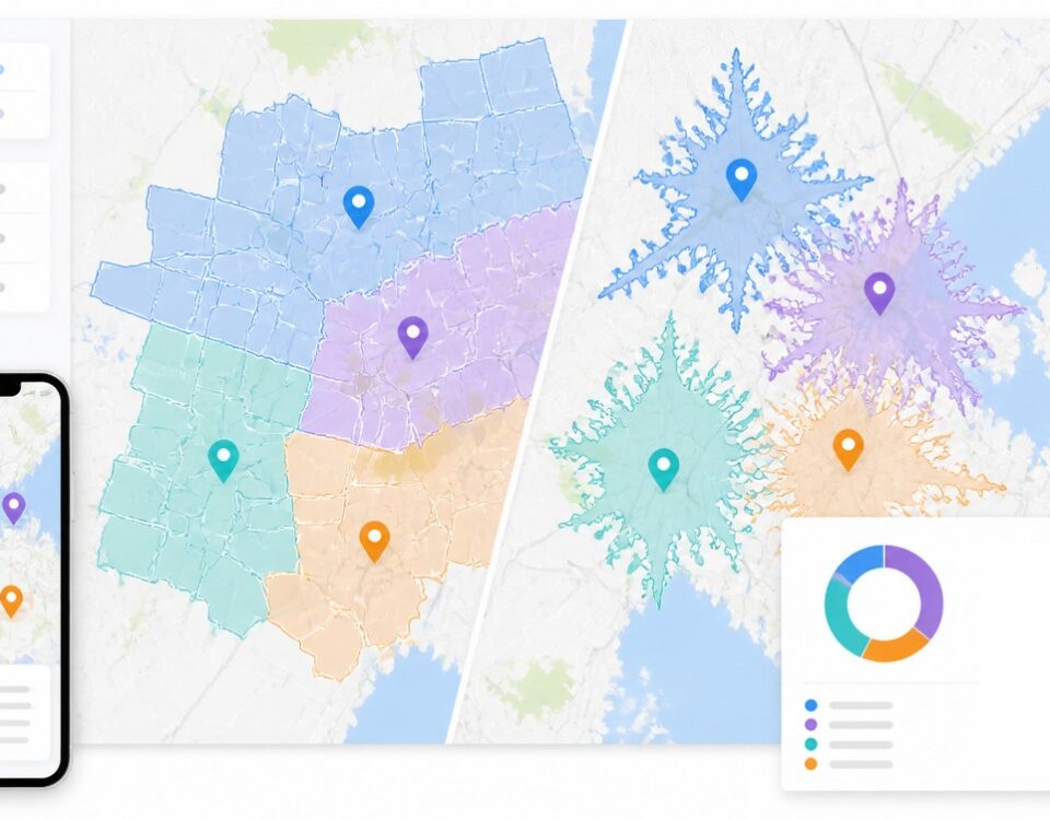
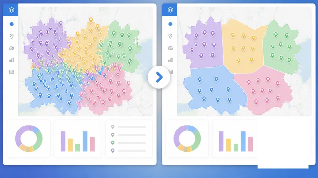
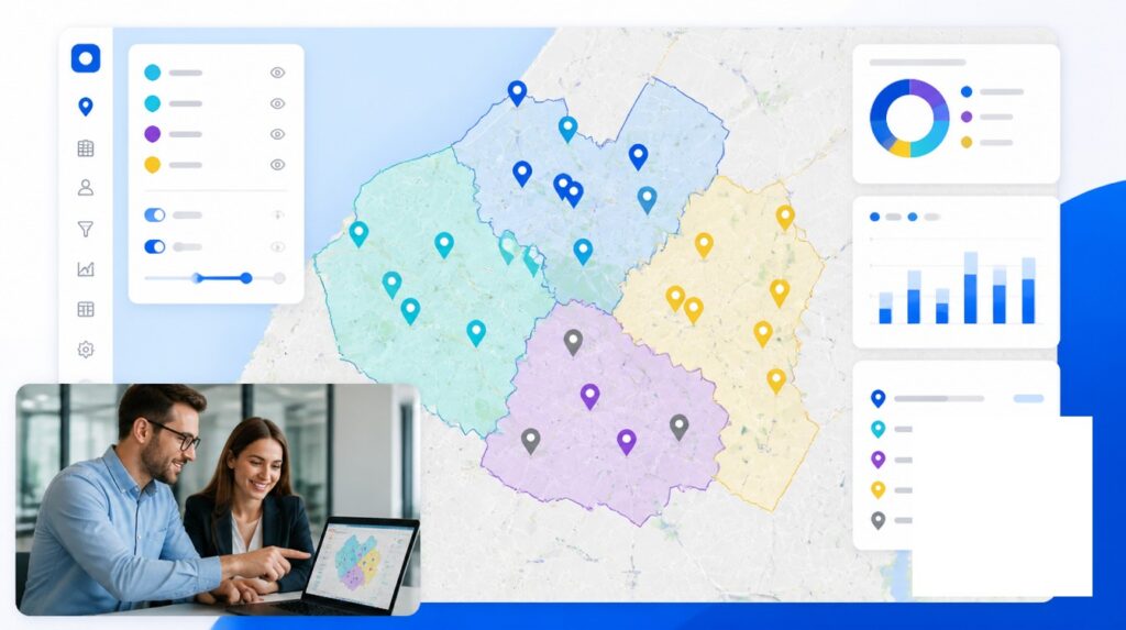
- Draw isochrones around your offices to establish sales territories.
- Schedule employees at different locations based on which stores are within driving distance of them.
Why Choose Maptive?
Maptive is more than just a travel time map generator. Use our mapping software to visualize your data, spot new trends, and optimize your business:
- Customize your map by adjusting the look of your map markers and choosing from 15 different base maps.
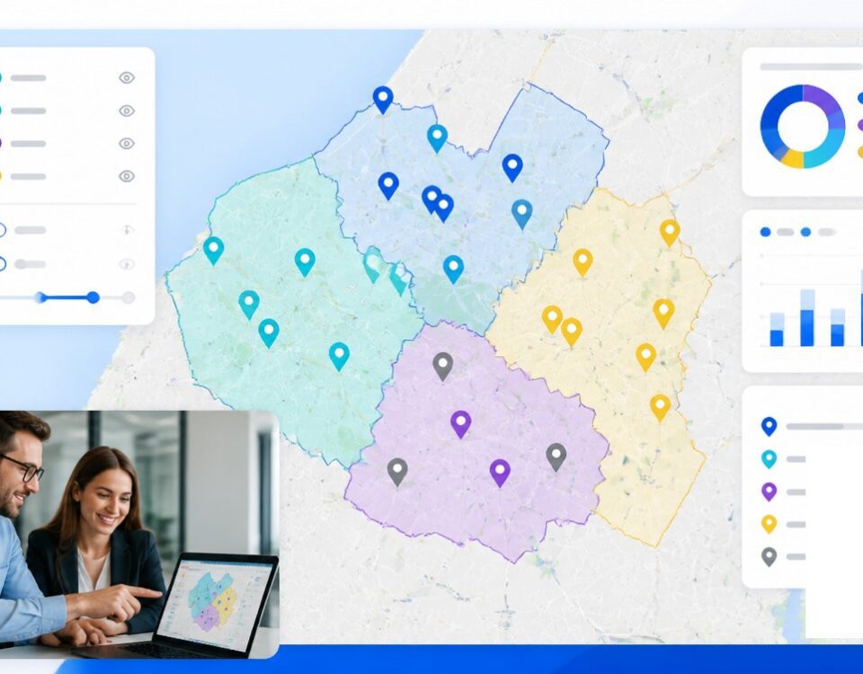
- Build sales territories based on zip codes, states, and counties, or use our drawing tool to create custom territories.
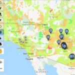
- Analyze the density of your data by using heat maps.
- Display demographic data on your map, including population, gender, income, housing education, and more.
- Keep your data secure with the latest encryption protocols.
- Easily share your map by saving it as a picture, exporting your data to a spreadsheet, sending your teammates a link, or embedding it on a website.
Create Travel Time Maps Today
Want to see the benefits of travel time maps for yourself? Start your free trial of Maptive and start mapping today.


