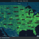

A political map is a type of map that primarily displays geographical boundaries and features related to political divisions, like national borders, state or provincial boundaries, county lines, city limits, and other administrative regions. They represent the organization of political entities, helping people understand the political structure of a given area.
A crucial note to keep in mind is that physical and political maps are both very common but very different. For context, if the maps you’re looking at provide a visual representation of the natural landscape (like landforms, bodies of water, elevation, vegetation, etc) those are physical maps, not political ones. One of the distinctive characteristics of political maps is the use of different colors, symbols, or labels to distinguish between various political jurisdictions.
Political maps are widely used for educational, analytical, and reference purposes, providing a visual representation of the political landscape within a specific geographic area.
What Are Political Maps Used For?
Of all types of maps, political maps are the unsung heroes of understanding our world, making the complex dance of borders and divisions accessible and interesting. But it’s not just about geography; it’s about decoding the political heartbeat of our planet.
- For Education: Step into the classroom, and political maps become the rockstars. They’re the keys to unlocking the mysteries of political structures and global dynamics. Found in textbooks and atlases, different political maps turn learning into a visually captivating adventure.
- For Elections: Ever wonder how election commentators decipher voting patterns? Enter the stage, political maps! They transform election results into a visual feast, painting a picture of political affiliations at every twist and turn.
- For Decision-Making: From urban planning to resource allocation, a political map is the secret sauce for smart decision-making among national and local governments. Companies use them to navigate the maze of international trade, turning borders into bridges for success.
- For News Media: Journalists use political maps to add flair to their stories. Geopolitical events, elections, and global affairs get a visual boost, making news not just informative but visually stunning.
- For Traveling: Beyond the obvious need to find your way around, political maps can point out border crossings, major cities, and points of interest–all laid out for you in a visually captivating roadmap.
How to Create a Political Map
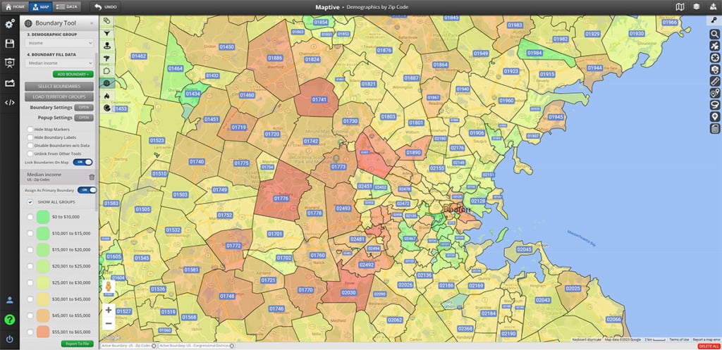
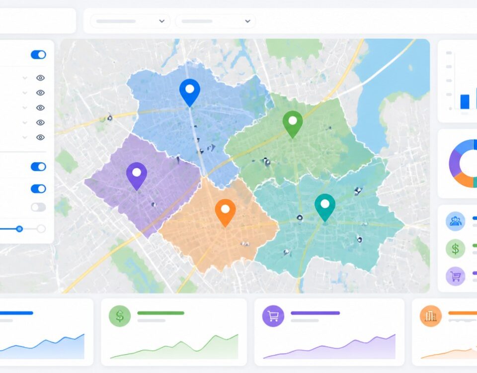
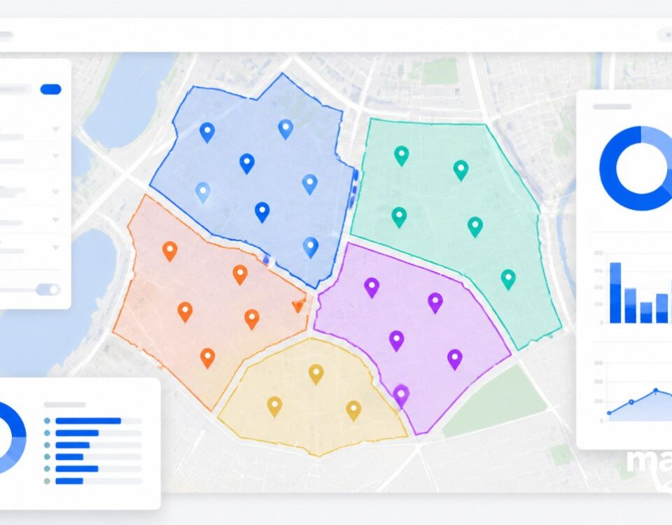
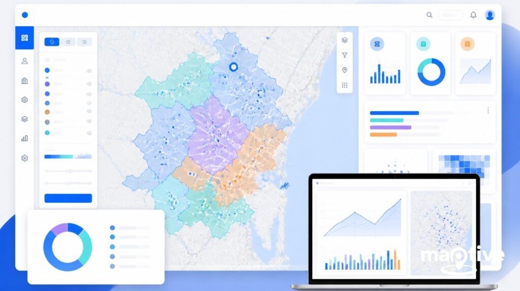
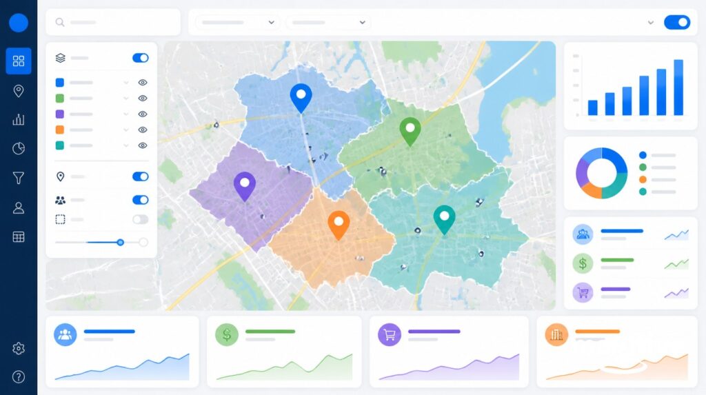
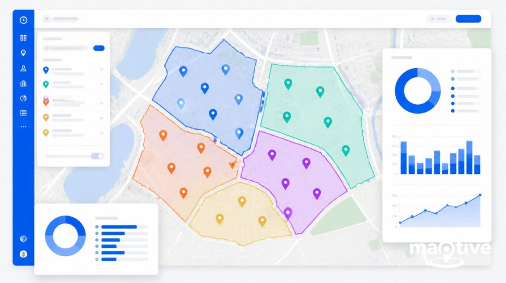
Creating a political map with Maptive is a straightforward process. Maptive is a powerful online mapping software that allows you to visualize and analyze all types of maps and relevant data: reference maps, geographic boundaries, political boundaries, physical features, geographical features, ZIP code maps, topographical maps, and the list goes on.
Here’s a step-by-step guide on how to make a political map using Maptive:
- Login to Maptive: Visit Maptive (https://www.maptive.com/) and log in or sign up for an account.
- Create a New Map: Click “Create New Map” to start a new project.
- Import or Add Data: Import data or manually add information relevant to your political map.
- Customize Map Appearance: Use “Map Tools” to customize colors, styles, and markers. Choose a map style.
- Add Political Boundaries: In “Map Tools,” add country borders, state lines, or other political divisions.
- Apply Filters and Styles: Use filters to highlight specific data points or groups.
- Label Key Areas: Enhance your map with labels and additional information.
- Save and Share: Save your map and share it with others or embed it on websites.
To start creating political maps today, sign up for Maptive’s FREE 10-day trial.


