At its core, a base map serves as the foundational canvas upon which layers of additional data can be overlaid, offering a comprehensive visual context for geographic information. In simpler terms, it provides the essential background imagery and geographical features, such as roads, landmarks, and terrain, allowing users to better understand and interpret the layers of information superimposed on it.
Understanding Base Maps
Base maps function as the compass of the digital mapping world, providing users with a reference point and a comprehensive overview of geographical data. Serving as a reference map, they meticulously illustrate key features such as buildings, rivers, and boundaries, offering essential context for users navigating spatial information. As foundational layers for displaying geographic data, base maps play a pivotal role in facilitating a deeper understanding through visualization.
Base maps enable users to orient themselves within a given geographical context. Whether it’s planning a route, analyzing regional patterns, or understanding the distribution of resources, base maps serve as the initial canvas upon which layers of additional data can be integrated.
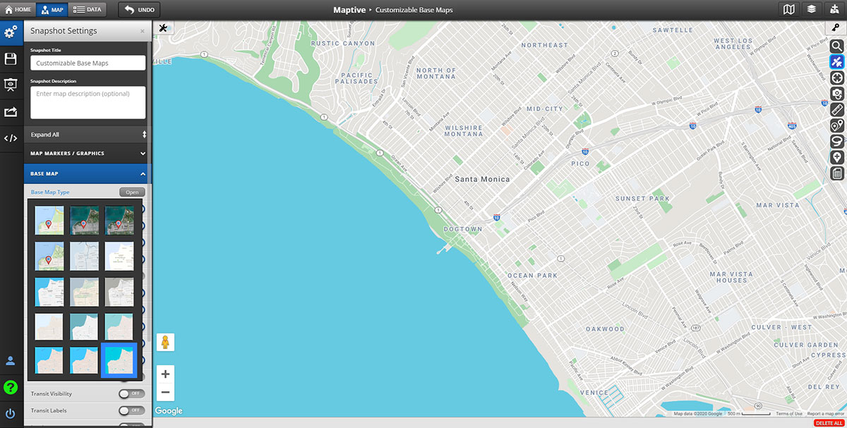
Maptive goes beyond the basics, providing users with customizable options to tailor the appearance of their base maps according to specific needs. The ability to control labels, colors, and styles, coupled with the flexibility of toggling satellite imagery, ensures that users can mold their base maps into powerful tools that align precisely with their objectives.
Types of Base Maps
- Orthophoto Base Maps are a top-down portrayal of ground features that showcase intricate details. Typically generated from satellite imagery, aerial, or drone photography, these maps provide a comprehensive view of Earth’s features, allowing users to measure distances with precision—from the heights of buildings to the intricacies of streets.
- Topographic Base Maps delve into the foundational elements of landscapes. Encompassing mountains, valleys, rivers, and more, these maps not only show elevation through contours but also incorporate natural and artificial features like administrative boundaries, hydrography, parks, urban areas, and transportation.
- Satellite Base Maps provide an aerial viewpoint captured from space. Leveraging repetitive satellite orbits, these maps offer up-to-date imagery, making them particularly valuable for users seeking an expansive aerial view.
- Elevation Base Maps harness a Digital Elevation Model (DEMs) to create a digital representation of Earth’s elevation surface and are often crucial for construction projects where elevation can impact costs and aid in comprehensive spatial analysis.
- Contours Base Maps depict elevation changes through lines of constant height. Closer contour lines signify steeper terrain, while wider spacing indicates gentler slopes.
Common Features and Elements
- Layer Customization: Users often customize base maps by adjusting labels, colors, and styles. This flexibility ensures that the map aligns with specific preferences and objectives.
- Spatial Analysis Tools: Base maps serve as a foundation for spatial analysis. Users can overlay additional layers of data, facilitating analysis and interpretation of information in a geographic context.
- User-Friendly Tools: These can include measurement tools, annotation features, and interactive elements. These tools enhance the user experience and make the maps more accessible.
- Real-Time Updates: Some maps leverage real-time data updates, like traffic patterns, ensuring that users have access to the latest information. This is particularly valuable for applications that require current and dynamic data.
- Search and Navigation: These features allow users to locate specific addresses, landmarks, or geographic points of interest.
- Legend and Scale Bar: To aid interpretation, maps commonly include a legend that explains the symbols and colors used. A scale bar provides a visual reference for distances, helping users understand the spatial scale of the map.
- Zoom and Pan Functionality: The ability to zoom in and out and pan across maps is a fundamental feature. This allows users to explore different levels of detail and navigate seamlessly through various geographic scales.
- Responsive Design: Many modern maps are designed to be responsive, adapting to different screen sizes and devices, ensuring a consistent and optimal viewing experience.
- Print and Export Options: Users often have the option to print or export maps for presentations, reports, or sharing.
Maptive’s Base Maps: A Closer Look

Customization Options
Maptive empowers users with an extensive array of customization options, transforming base maps into personalized and visually striking representations. Users can craft unique experiences by incorporating bespoke map markers, selecting vibrant colors tailored to distinct data categories, and adding icons or labels for each point of interest.
Maptive also offers advanced customization, including the ability to finely tune visibility levels, allowing users to decide whether highways, road names, and associated labels are displayed based on their preferences.
This granular control ensures that every map is finely tuned to meet the specific needs of users, offering an optimal balance between clarity and complexity when conveying information visually. Maptive’s customization features not only enhance the aesthetics of maps but also empower users to make informed decisions by presenting information in a way that resonates best with their audience.
Satellite Imagery Integration
The seamless integration of satellite images into a base map provides a dynamic and current portrayal of topography, vegetation, and built structures. This integration unfolds an aerial perspective, offering a vivid display of land coverings, buildings, roads, greenery, and bodies of water. It serves as a window to the ever-changing landscape, delivering a comprehensive visual experience that captures the intricacies of our surroundings in real-time.
Enhancing Your Base Map with Additional Layers
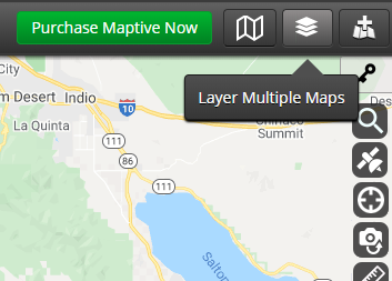
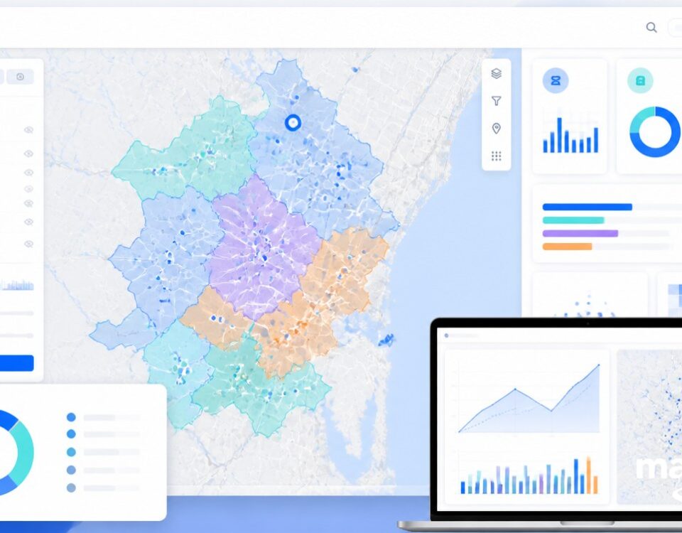
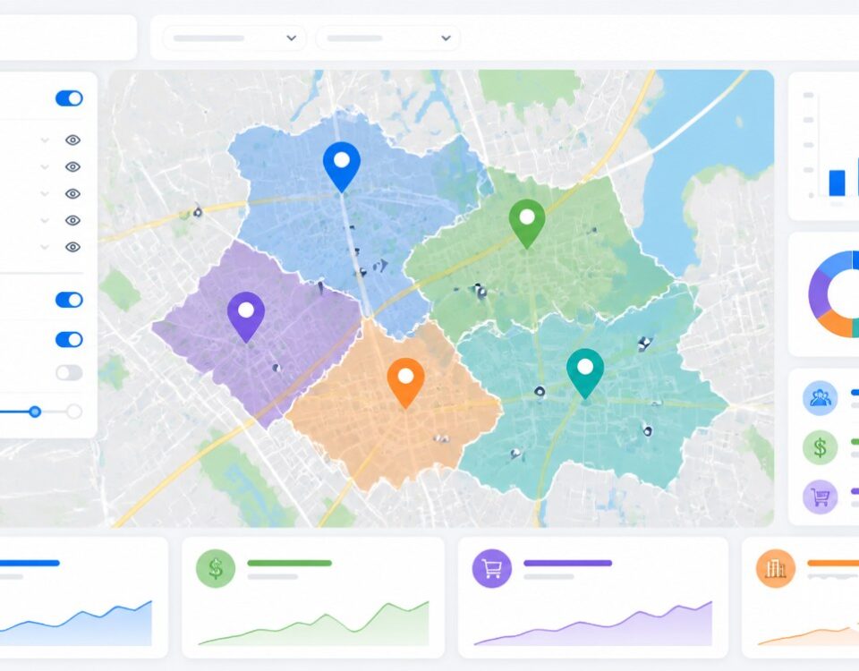
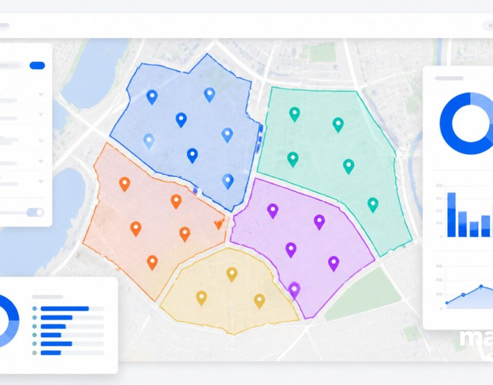
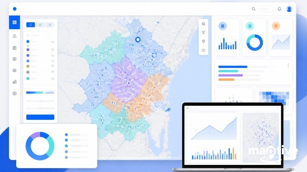
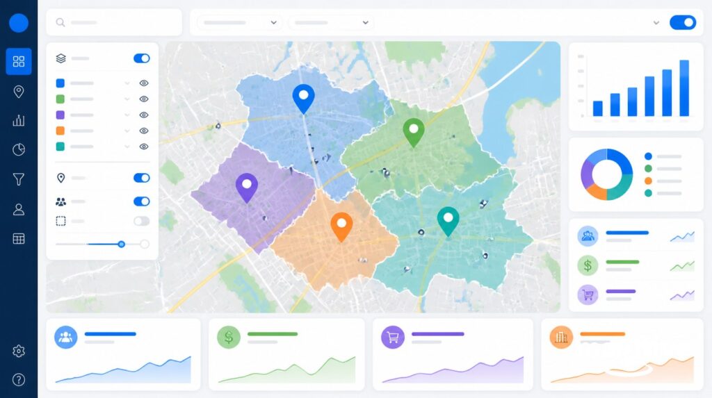
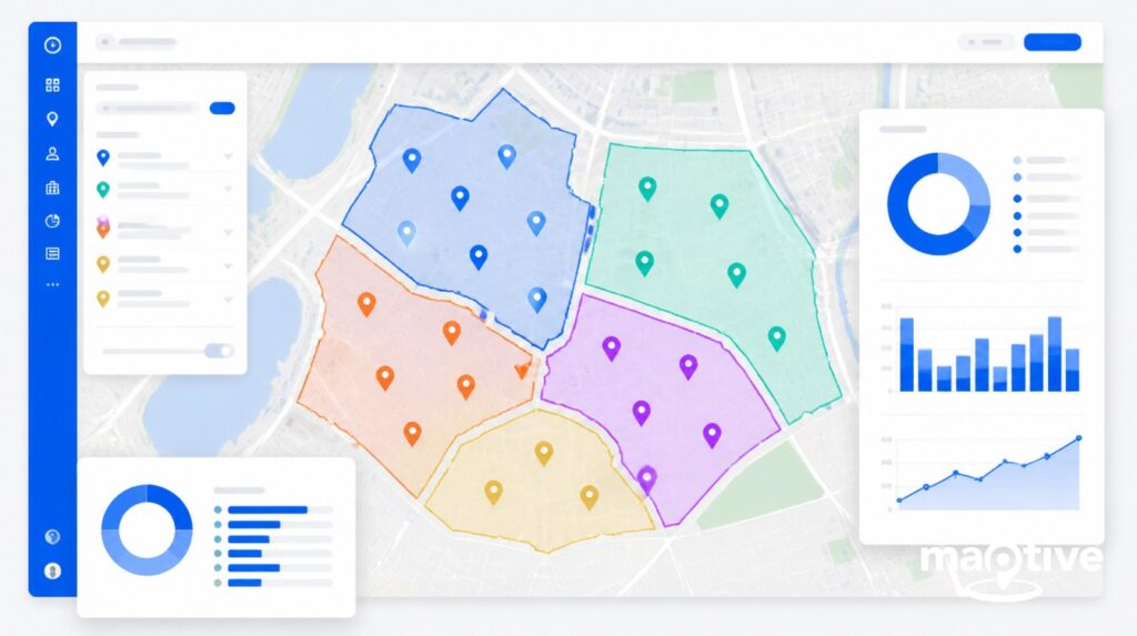
Maptive’s innovative map layering feature empowers users to overlay diverse datasets on their base map, creating a multi-dimensional view that goes beyond traditional mapping boundaries.
Whether it’s combining demographic information, sales figures, or environmental data, Maptive’s map layering feature enables users to discern patterns, correlations, and insights that may not be immediately apparent in individual datasets. This dynamic layering capability enhances the depth of analysis and provides a holistic understanding of the geographical context, offering a comprehensive and nuanced view.
Layer Hierarchy and Management
‘Layer hierarchy’ refers to the meticulous organization of features that defines a map, allowing elements like buildings, roads, or landmarks to be prioritized or concealed based on significance or size.
With Maptive’s advanced base map customization settings, users gain precise control, enabling the seamless enablement or disablement of these elements and more, tailoring maps to their exact specifications.
Examples of Useful Layers
Augmenting a base map with various layers significantly enhances its usefulness.
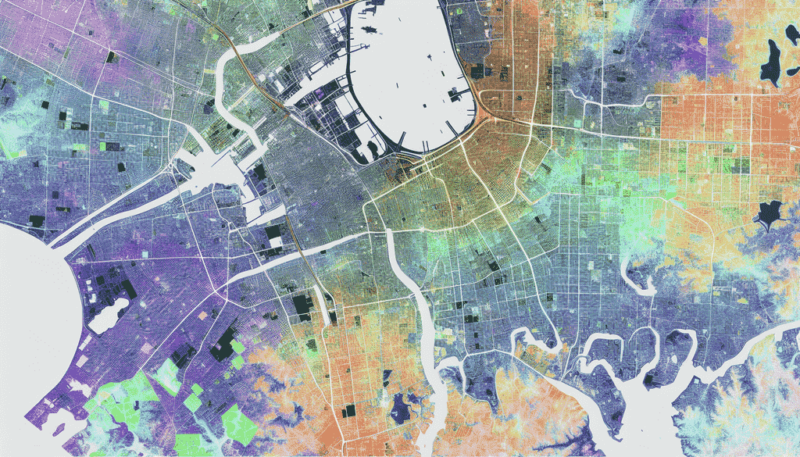
- Particularly impactful are data layers containing demographic insights such as population density, household income, and age distribution.
- Integration of Points of Interest (POI) amplifies map complexity by introducing relevant features like roads or assets within specific regions.
- Incorporating environmental elements through symbolization, classification, and thematic labeling further enriches the map, providing both visual and functional depth.
Working with Labels and Street Names
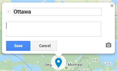
Tailoring labels and street names on a base map can enrich the user experience. This personalized touch empowers users to not only refine the visual aesthetics but also fine-tune information to cater to their specific needs.
Customizing Labels
Customizing labels in a base map involves meticulous adjustments to font, size, color, and visibility. With Maptive, users can effortlessly refine these options directly from the map settings, providing a user-friendly avenue for personalization.
Balancing Clarity and Detail
Striking the right balance between clear visibility and detailed information is almost an art form. A well-composed map, coupled with a thoughtfully chosen background, ensures users gain a better understanding without feeling overwhelmed or lacking essential context.
To achieve this, you should prioritize clarity in design enhancements and maintain consistent scales among different map elements. This strategic approach creates a hierarchy of importance, guiding users through a seamless and comprehensible map experience.
Practical Applications of Custom Base Maps
- Business Intelligence: a base map can be customized to delineate specific sales territories, aiding businesses in strategic planning and resource allocation.
- Logistics and Supply Chain: display optimized delivery routes, minimizing travel time and improving efficiency in logistics operations.
- Urban Planning, Zoning, and Land Use: with the right customization, a base map can showcase zoning and land use, assisting urban planners in visualizing development projects and regulatory compliance.
- Healthcare Services and Patient Distribution: custom maps can be used to analyze and visualize the distribution of patients, optimizing healthcare services and resource allocation.
- Real Estate and Property Development: realtors can use customized bas maps to highlight potential areas for property development, taking into account factors like demographics, amenities, and infrastructure.
- Educational Planning: universities and other educational institutions can customize maps to plan campus layouts, visualize facilities, and enhance overall campus management.
- Marketing Campaigns: looking for the right segmentation and targeting? You can customize maps to visualize target audience demographics, which can help you strategize and execute targeted campaigns more effectively.
- Disaster Response: base maps can be vital in emergency situations when responders can quickly display emergency evacuation routes and see other crucial information during disaster response and preparedness.
- Tourism and Hospitality: tourism destinations can customize base maps to create visitor experience maps, guiding tourists to attractions, accommodations, and points of interest.
Tips for Choosing the Right Base Map
The abundance of options can make the selection process daunting, but a few key considerations can help guide your choice.
Begin by defining the purpose and target audience for your map, ensuring the level of detail aligns seamlessly with these objectives. Striking a balance between functionality and aesthetics during the selection process ensures that the chosen visualizations not only serve their intended role effectively but also offer a visually pleasing experience.
Summary
Base maps play a pivotal role in various fields, including geography, urban planning, and business. Serving as a foundational layer, they facilitate the visualization of diverse data sets, providing extensive customization options.
Whether you’re a city planner or an environmentalist, exploring the features and capabilities of base maps tailored to your specific needs ensures that these tools significantly enhance the mapping experience.
Ready to experience the full potential of base maps? Try Maptive today and unlock a new dimension in mapping!
Frequently Asked Questions
What is a base map?
A base map is a reference to display more intricate data, including boundaries, topography, and both vector and raster information. It shows only the basic outline of the roads or geographical features without any additional detail.
What does base on the map mean?
This layer of geographic information, serving as a background on the map and providing context for additional features like boundaries, rivers, lakes, roads, and highways, which do not change regularly, forms an indispensable part of any map.
What are some types of base maps?
Base maps, which can come in various forms such as orthophoto, topographic, satellite images, or even elevation and contour layers, can provide helpful information about a particular location for users to take into account when choosing one most suitable for them.
How can base maps be customized?
Customizing base maps to fit project requirements can be done by altering the font, color, and size of labels as well as adding or removing layers or elements such as street names, city names, landmark names, and other elements. All of these can be modified within Maptive’s map settings.


