
Geocoding is the process of taking a street address, coordinates, or the name of a place into a location on a map. Geocoding allows you to plot addresses on a map and visualize your location data. You can also do the opposite (converting coordinates into addresses) which is known as reverse geocoding.
There are a number of free Geocoding services and APIs available, so when deciding what tools to use it can be a little overwhelming. So, we’ve assembled a list of our favorites to make it a little easier for you.
Here are our picks for the best free geocoding tools:
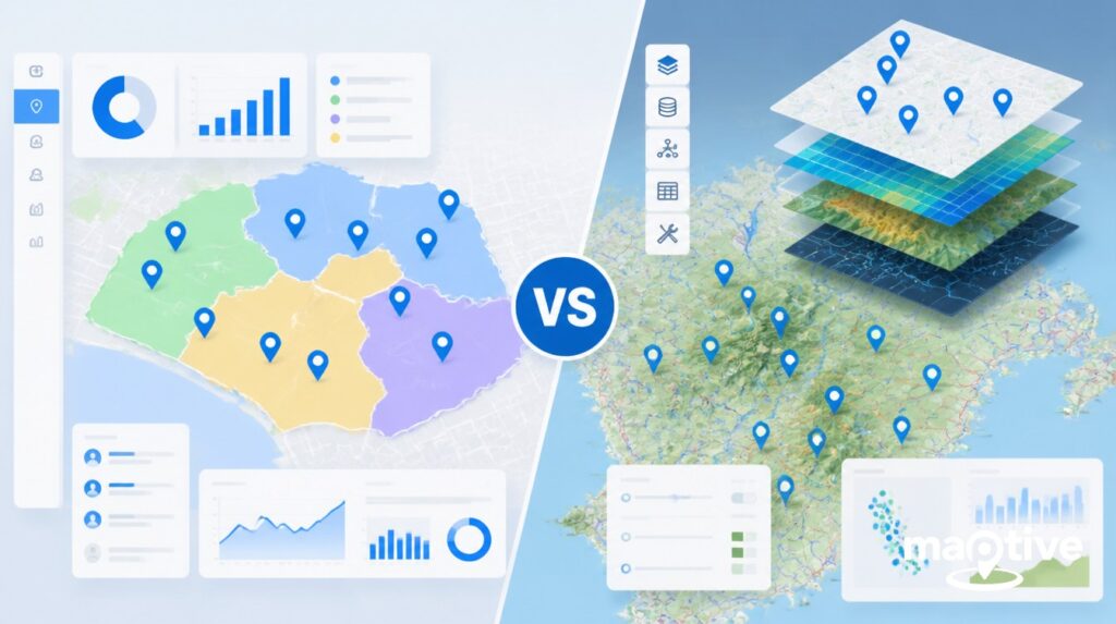
Maptive
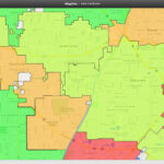
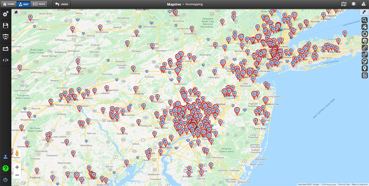
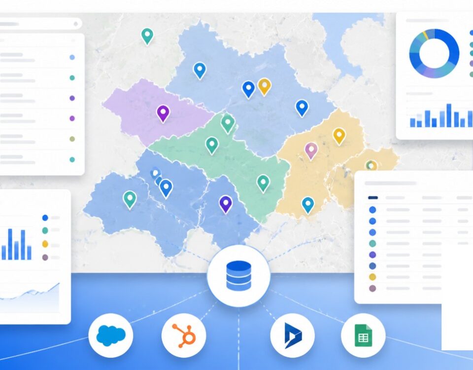
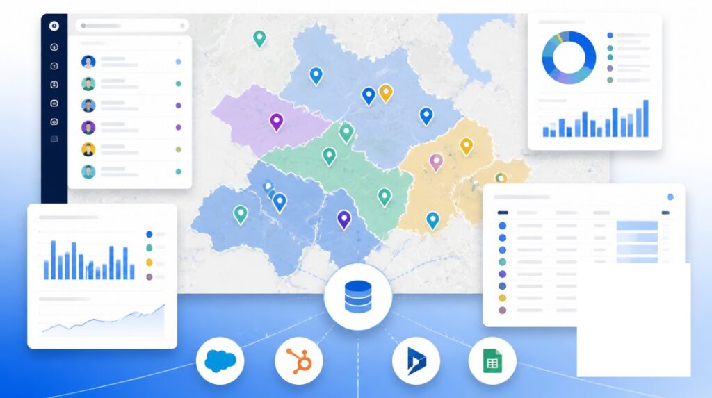
Our interactive mapping software has geocoding functionality that makes it easy to plot a wide range of location data. Maptive plots addresses, zip codes, postal codes, cities, counties, states and more within seconds, so you can see your data points on an interactive map.
Simply create a Maptive account (you can sign up for a free trial) and upload your spreadsheet dataset. When you’re ready, create your map to instantly geocode your locations.
If you want to see the latitude and longitude coordinates of a single location, just click on the corresponding marker. The longitude and latitude will appear in a popup.
QGIS
For those looking for a free and simple geocoding solution, QGIS might be the way to go. This open-source software offers two plugins for geocoding: GeoCoding Plugin (for geocoding one address at a time) and MMQGIS (for geocoding multiple addresses at once).
For most users, the MMQGIS plugin is the way to go. Just enter addresses to plot them all on a map.
While not as robust as the other options on this list, it’s an effective solution if you’re looking for a quick way to geocode a few addresses.
Google Maps
If you’re already familiar with Google Maps then you’re in luck. This free platform will allow you to geocode virtually any type of location.
Plotting one location is simple. Just go to Google Maps and type your query into the search bar. Whether it’s an address, zip code, or any other type of location, Google will instantly plot it for you. To see a location’s GPS coordinates, right click on the map marker.
Unfortunately, the free version only lets you geocode one address at a time. If you need a batch geocoder you’ll have to sign up for Google Maps Platform, which is a paid service.
PositionStack
This free geocoding API has over 2 billion addresses covered around the world. That means pretty much whatever your location is you’ll likely be able to plot it. It also offers real-time geocoding and frequent updates every day.
The API allows you to send up to 10,000 requests per day for free. If you need more you’ll have to sign up for one of their paid plans.
The downside is that because it’s an API, it’s not accessible for people who aren’t a web developer or programmer. For those looking to design their own geocoding application, this is great. But the average consumer should consider one of the other options on our list.
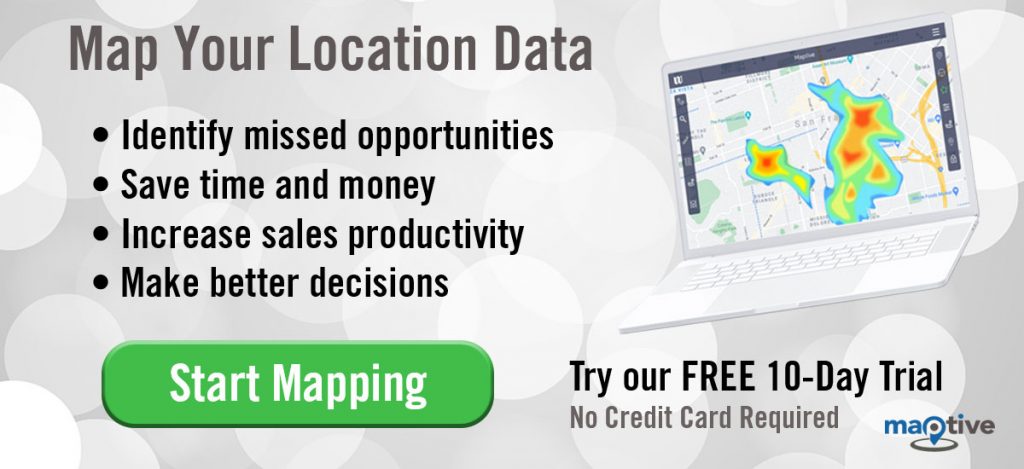
Start Geocoding Today
Need to geocode data today? Sign up for a free trial of Maptive and start uploading your locations to plot them in seconds.


