


Ever wonder how your phone magically knows where you are on the map? Well, it’s all thanks to the secret sauce called A Geographic Coordinate System.
Geographic Coordinate Systems (GCS) are a set of rules and parameters used to locate points on the Earth’s surface. These systems employ latitude coordinates and longitude coordinates, measured in degrees, to precisely identify positions and enable accurate mapping and navigation. In essence, GCS provides a standardized way for people, technologies, and maps to communicate and understand specific locations on our planet.
But hold on! It’s not just for tech wizards or map nerds. Geographic Coordinate Systems are the unsung heroes of our daily adventures. They’re the reason your food delivery arrives on time, your hiking app doesn’t get you lost, and your ride-sharing app knows where to pick you up.
So, get ready to decode the geographic coordinates that make your world go ’round. We’re diving into the basics of latitude and longitude, the superhero duo of location. Stick with us, and you’ll soon see how these coordinates aren’t just random numbers—they’re the keys to unlocking the map of your everyday life!
Coordinates 101: Navigating the Map Grid
To understand the Geographic Coordinate System, let’s start with the basics—coordinates, the digital breadcrumbs guiding us across the planet.
Latitude and longitude form the dynamic duo that defines locations globally. Latitude runs east-west, measuring how far north or south we are from the equator. Longitude goes north-south, indicating our distance east or west from the prime meridian (essentially running between the North and South poles). Together, they create a unique address for every point on Earth.

To pinpoint places across the world, latitude and longitude values are expressed in “degrees”, “minutes”, and “seconds”. If you think of Earth as a giant spheric cake, you can imagine degrees, minutes, and seconds as bigger and smaller slices of that cake.
- Degrees, the big slices, give us the general location.
- Minutes are medium slices, refining our position.
- Seconds, the tiny bites, pinpoint our spot precisely.
So when we say 40 degrees, 26 minutes, and 30 seconds north, we’re zooming in on a specific slice of our Earth-cake.
Fun Facts about the Equator, Prime Meridian, and International Date Line:

- Equator: The equator is the grand circle right in the middle, dividing the Earth into the northern and southern hemispheres. It’s like the Earth’s waistline, and places near it enjoy a tropical climate all year round.
- Prime Meridian: This imaginary line runs from the North Pole to the South Pole, and it’s the starting point for measuring longitude. The Greenwich Observatory in London is where this longitude party begins.
- International Date Line: Picture a zigzag line in the Pacific Ocean. Cross it from west to east, and it’s like time travel—you move a day ahead. Go from east to west, and you’re turning the clock back.
Navigating Geographic Coordinate Systems Basics
Let’s look at the core components that give the geographic coordinate system its precision and depth.
Datums play a pivotal role as the reference points of our geographic coordinate system. Acting as the groundwork, they provide a frame of reference for measuring locations, silently influencing the accuracy of our coordinates.
Ellipsoids and spheroids are like the Earth’s outfit, defining its form in the coordinate system. An ellipsoid, a slightly squashed ball, and a spheroid, a rounder version, create a model of spherical coordinates that mimics the Earth’s not-so-perfectly-round nature. Choosing the right shape ensures that our coordinates align accurately with real-world locations.
Now, let’s add the third dimension to our journey—horizontal and vertical datums. Horizontal datums anchor our coordinates on the Earth’s surface, providing a lateral perspective. Meanwhile, vertical datums act as the GPS for elevation, helping us understand heights and depths. Together, they form a dynamic duo that offers a comprehensive view of our location, both horizontally and vertically.
Types of GCS You Should Know
We’ve already explored the basic Geographic Coordinate System, using latitude and longitude to pinpoint locations on the Earth’s surface. If you imagine taking that GCS global grid of latitude and longitude values wrapping it around a sphere, creating a 3D map, you get Projected Coordinate Systems. This is particularly handy when we’re working with flat surfaces, like maps and computer screens. One familiar example is the Universal Transverse Mercator (UTM) system, where the Earth’s surface is divided into zones for more localized precision.
While the longitude and latitude both focus on lateral positioning, the Vertical Coordinate System adds another dimension—height. It’s like adding layers to our map, helping us understand elevations and depths. Together, these coordinate systems provide a 3D perspective, crucial for activities like measuring land surfaces or tracking changes in sea levels.
Some examples of GCS that are commonly used and referenced include:
- The World Geodetic System 1984 is like the superstar of geographic coordinate systems. WGS84 is a global standard, widely used in GPS technology, mapping, and navigation apps. It ensures that your GPS pinpoints your location accurately, making it a household name in the world of positioning.
- The International Terrestrial Reference System (ITRS) is a dynamic system, accommodating the ever-changing nature of our planet due to processes like plate tectonics and glacial isostatic adjustment. Accompanying the ITRS is the International Terrestrial Reference Frame (ITRF), essentially a snapshot of the ITRS at a specific point in time. Updated regularly, these frameworks play a crucial role in maintaining the accuracy of global navigation satellite systems (GNSS) and various geodetic applications.
- The Geodetic Reference System 1980, is characterized by a slightly flattened shape at the poles and bulging at the equator, providing a more accurate representation of the Earth’s actual form than a perfect sphere. Defined by specific parameters, including its semi-major and semi-minor axes, GRS80 is a standard in Geographic Information Systems (GIS) and global mapping, serving as a reference for spatial data representation and analysis.
Real-World Applications
Now that we’ve laid the groundwork of Geographic Coordinate Systems (GCS), let’s explore their tangible impact in our daily lives and technological landscapes, including the role they play in platforms like Maptive.
Practical Use of GCS in Maps and Navigation
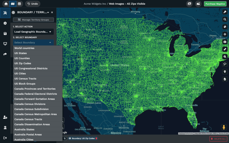
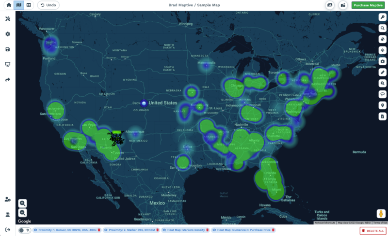
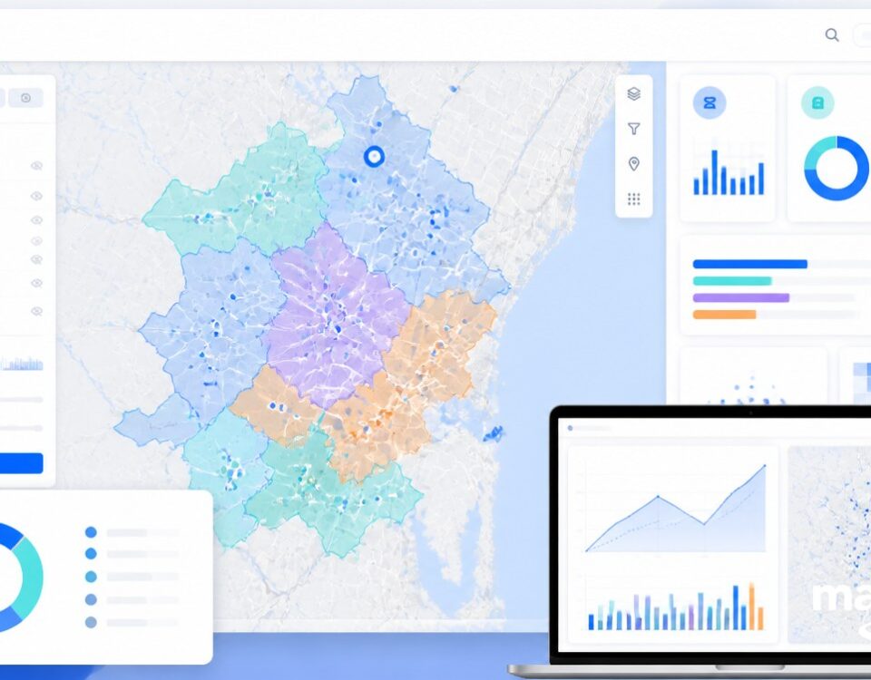
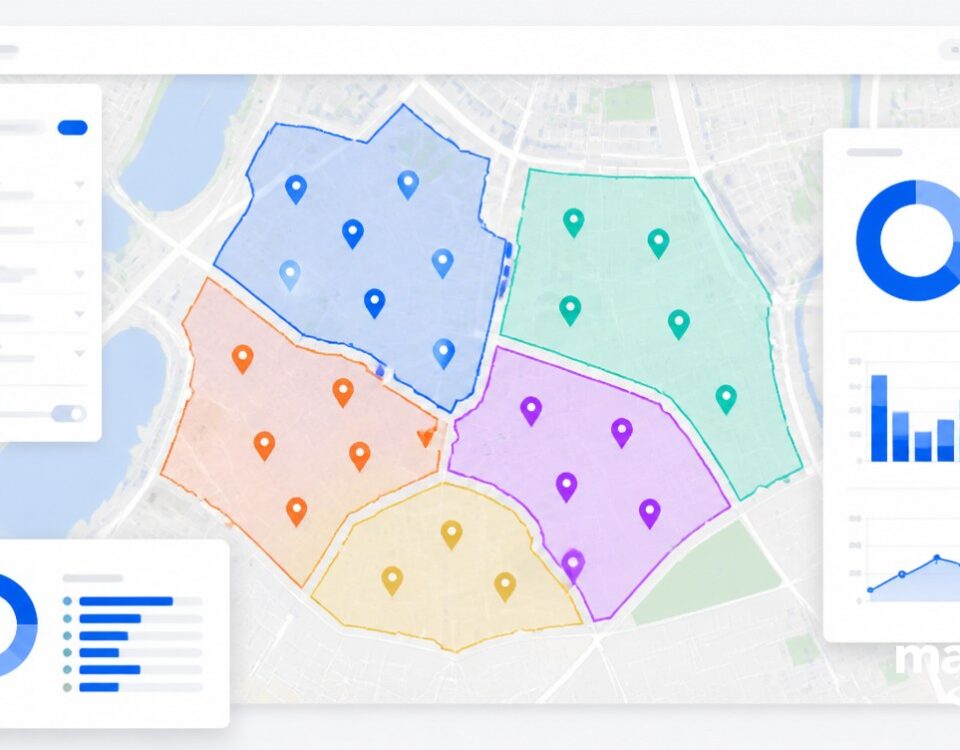
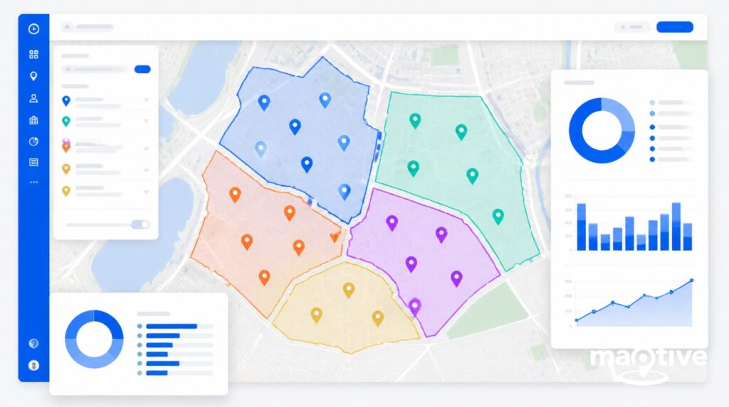
The synergy of GCS with maps is epitomized in platforms like Maptive. Utilizing the precision of Geographic Coordinate Systems, Maptive transforms static data into dynamic, interactive maps. Whether you’re planning a business route or visualizing customer locations, Maptive harnesses the power of GCS to provide a seamless mapping experience. It’s the language that not only guides you through city streets and hiking trails but also empowers businesses to optimize logistics and enhance decision-making.
GCS in Everyday Technologies like GPS
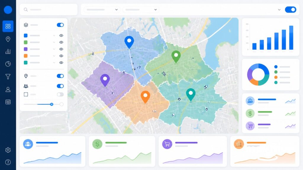
Ever wondered how your GPS knows exactly where you are? Thank GCS for that, and Maptive takes it a step further. Maptive’s integration with GCS ensures that the maps you create or interact with are not only visually compelling but also accurate. Whether you’re a business professional analyzing sales territories or an adventurer charting a course, Maptive leverages the precision of GCS to enhance your spatial experience.
GCS in GIS and Spatial Analysis
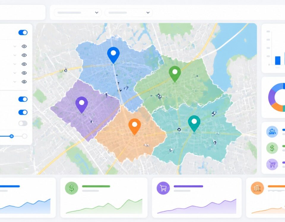
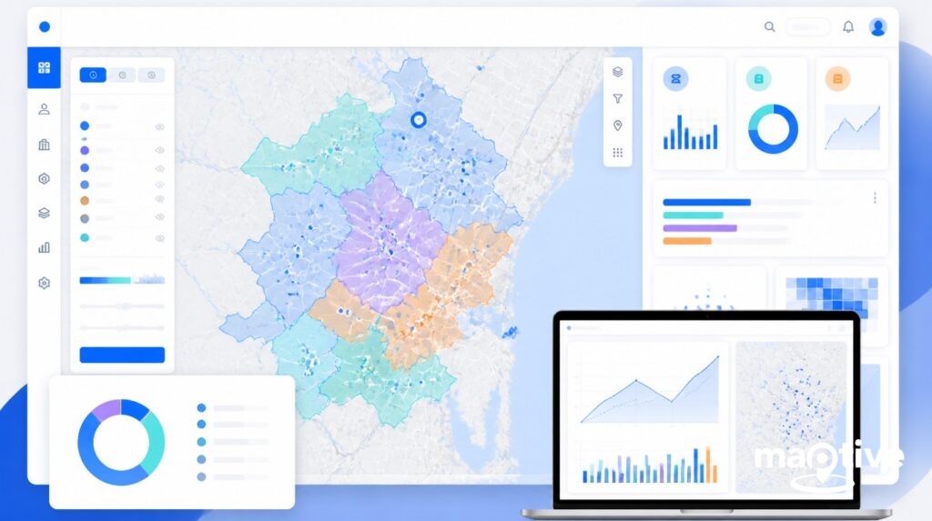
In Geographic Information Systems (GIS) and spatial analysis, Maptive becomes a valuable ally. By seamlessly incorporating GCS into its mapping capabilities, Maptive allows users to overlay multiple data sets, conduct spatial analysis, and gain actionable insights. It’s the convergence of cutting-edge technology and GCS that empowers users to make informed decisions based on spatial relationships, whether it’s optimizing delivery routes or understanding demographic patterns.
Conclusion
In wrapping up our exploration of Geographic Coordinate Systems (GCS), we’ve unveiled the simplicity and vital significance of this universal language for location. From latitude and longitude coordinates to datums and ellipsoids, GCS simplifies Earth’s complexity for accurate mapping and navigation.


