
Location, location, location! In real estate, having the best mapping software at your disposal can make all the difference.
Mapping software has revolutionized the way real estate agents and brokers navigate the property landscape, offering a bird’s eye view of the market, and providing invaluable insights that can help drive strategic decision-making.
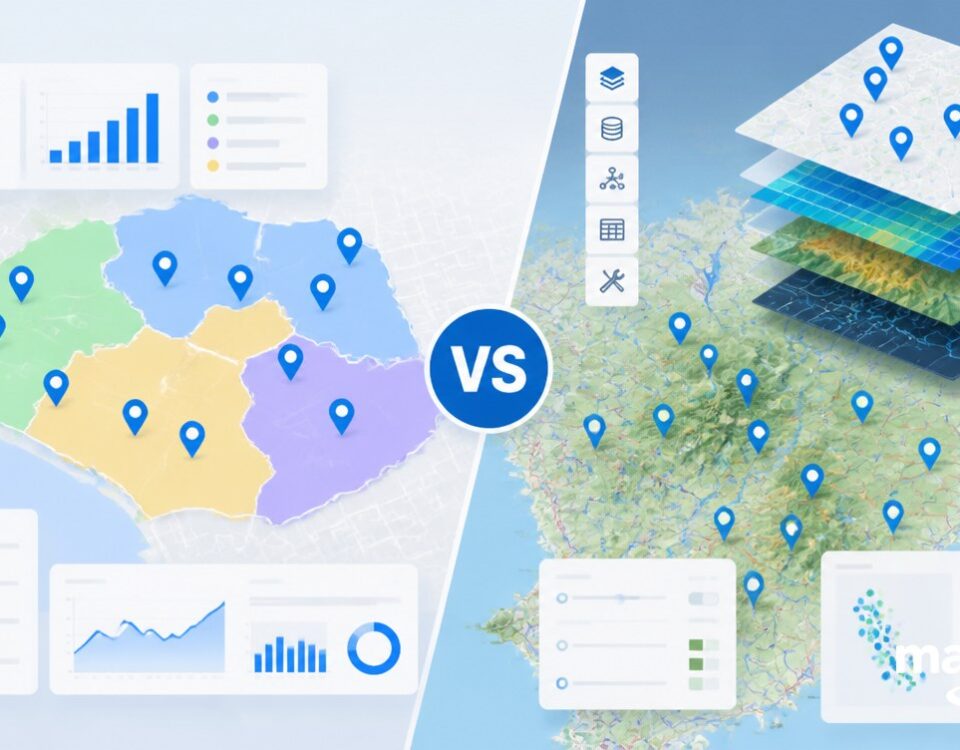
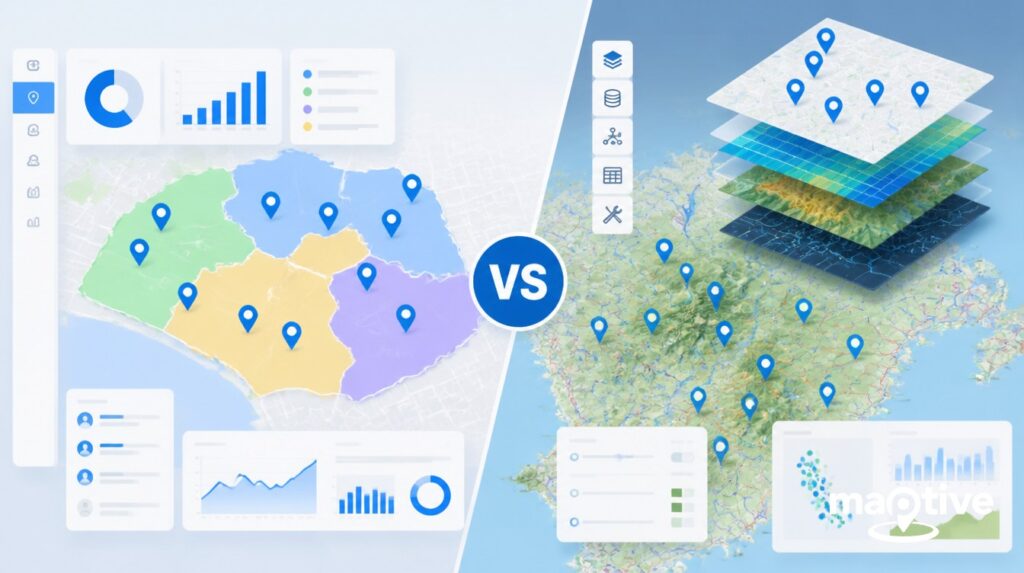
With the right real estate mapping software, you can transform raw data into visually compelling, interactive visualizations that can help your team analyze and understand complex data with ease.
From identifying potential investment opportunities to visualizing property values across different neighborhoods or planning efficient property tour routes, the best mapping software has a multitude of applications in the real estate industry.
In this article, we will delve into the top 10 mapping software for real estate agents. We will explore their pricing, features, advantages and disadvantages, and online user sentiment, providing you with a comprehensive guide to help you choose the right territory and demographics tools for your needs.
As the real estate market continues to evolve, so too does the technology that supports it. Stay ahead of the curve by understanding how these top-tier geographic analysis tools can enhance your real estate business.
Let’s dive into the top 10 real estate mapping software for 2023:
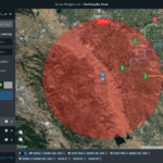
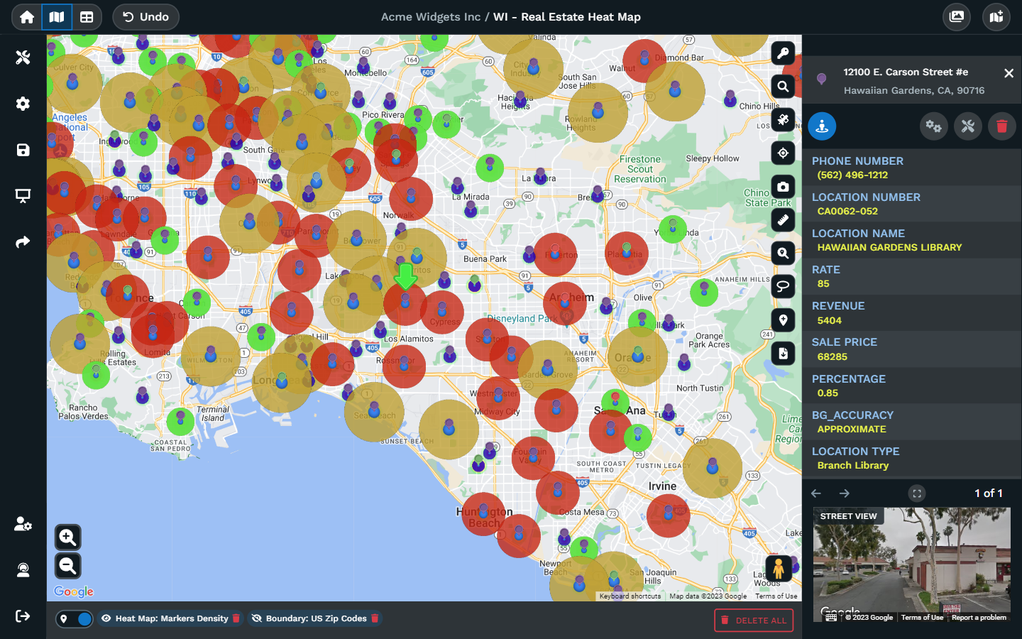
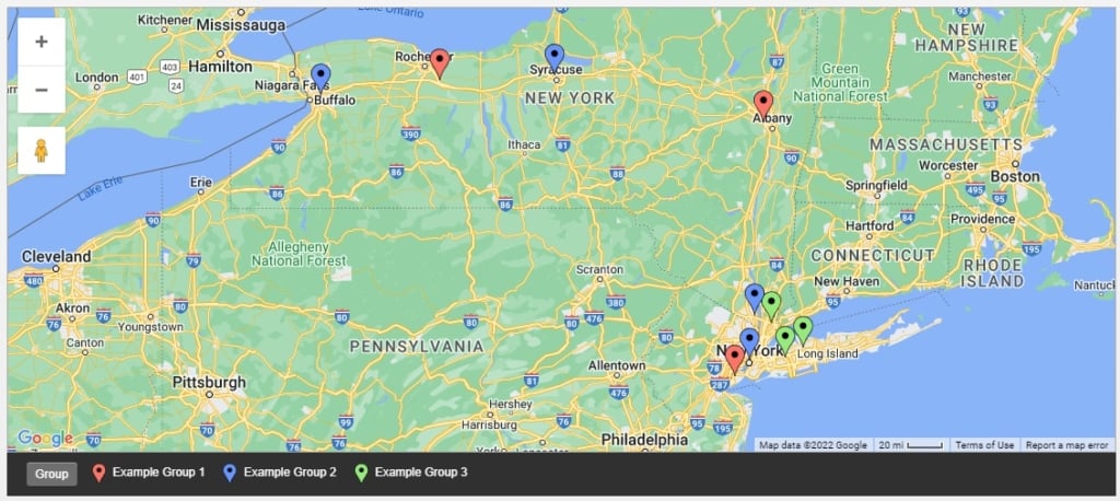
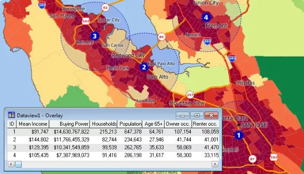
1. Maptive – Best Overall Real Estate Mapping Solution
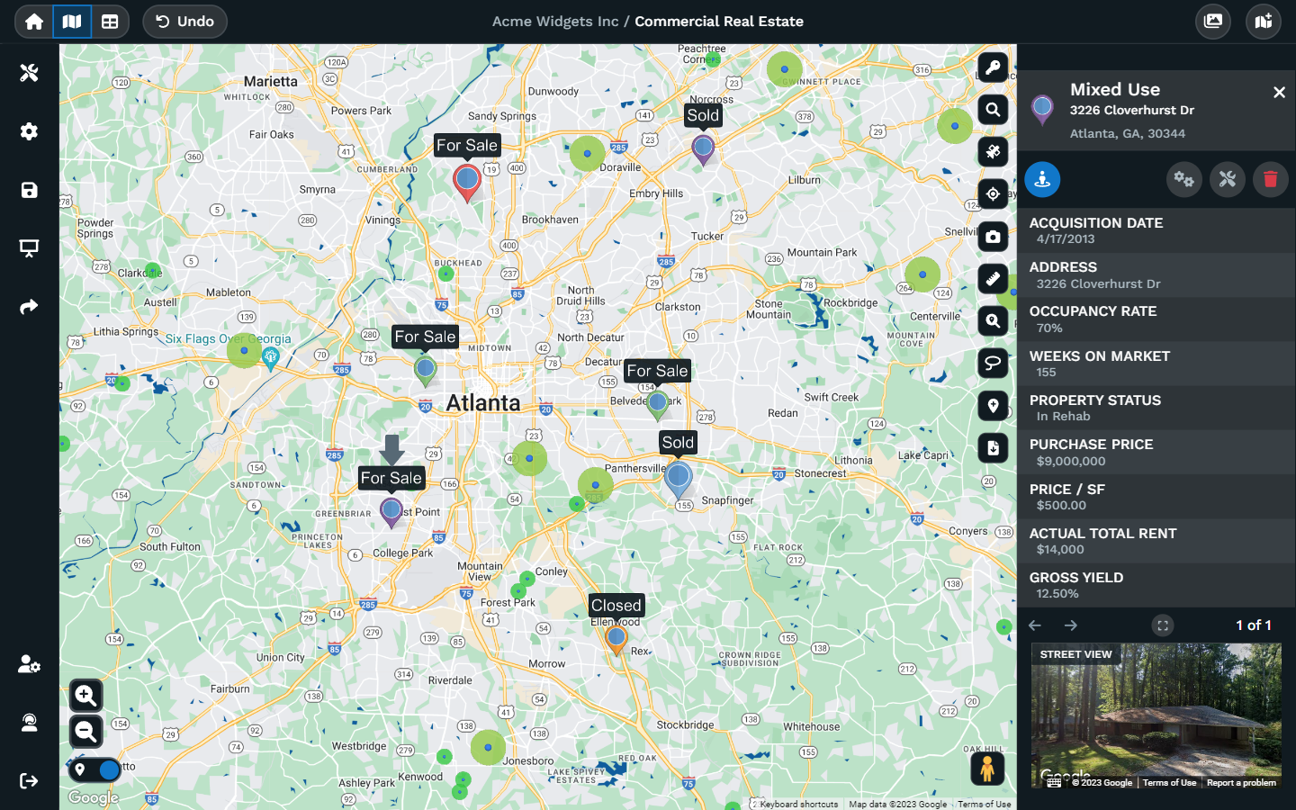
Image Source: Maptive Version 5 – Coming 2024
Pricing
Maptive offers several pricing plans.
- The 45-Day Pass costs $250 for 45 days for 1 user license.
- The Pro plan costs $1,250/year if billed annually or $110/month if billed monthly.
- The Team plan costs $2,500/year if billed annually or $220/month if billed monthly.
- For enterprise-level pricing, you need to contact Maptive directly.
Features
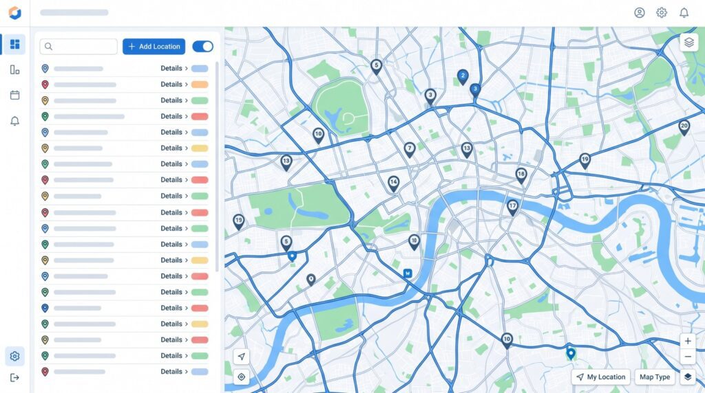
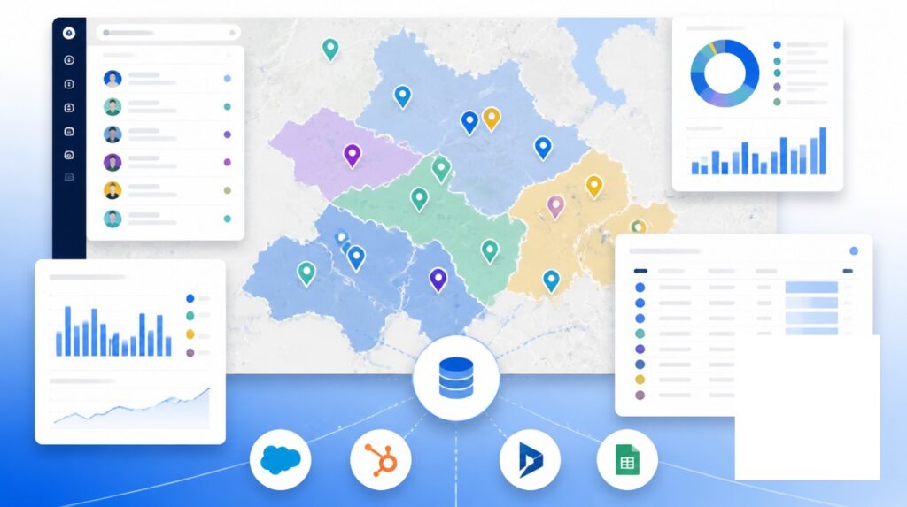
Maptive provides a wide range of geospatial analysis and data visualization features. It allows users to upload location data, draw freehand territories, and create territories from groups of boundaries.
It offers advanced optimization and visualization tools such as those for automatically balancing hierarchies (e.g., territories, districts, and regions) and for handling overlapping territories.
Maptive also offers a route planner, a map radius tool, a heat map generator, and a drawing tool among other features.
Advantages
- User-Friendly Interface: Maptive is known for its intuitive and user-friendly interface, which makes it easy for users to navigate and use the platform effectively.
- Multiple Variable Grouping Capabilities: Maptive allows users to group variables based on different data, enabling customization of territory maps.
- Customized Heat Maps: The platform offers customized heat maps based on numerical data density like sales volume or marker density and demographic data like population density.
- In-Depth Online Training and Tutorials: Maptive provides comprehensive online training and tutorials to help you understand how to use the platform effectively. It also offers a dedicated support manager on the Team and Enterprise plans.
- Location Intelligence: Maptive offers powerful location intelligence features, including distance radii, drivetime polygons, demographic census data, customer data plotting, and sales territory mapping.
- Route Optimization Capabilities: Maptive helps sales reps save time by providing optimized routes that create the most efficient sales routes. It also offers built-in directional tools that provide turn-by-turn directions.
- Geographical Area Grouping: Maptive allows users to group geographical areas based on their total and/or average sales. This helps sales managers and reps visualize where the higher probabilities of a sale are located.
Disadvantages
Compared to other options for a field sales tool, Maptive can be expensive for smaller organizations or sales teams. A layered interactive map within this platform will actually consist of multiple high-quality maps and cannot be customized as much as an individual map.
User sentiment
Maptive is one of the best mapping software, highly appreciated for its user-friendly interface and comprehensive features with an average rating of 4.7/5 on G2. It is considered a great option for businesses with territory mapping needs or who want to visualize data at scale. However, some users have mentioned that it can be expensive for smaller teams that only need to use sales mapping tools a few times a year.
Learn more about Maptive Real Estate Mapping Features
2. MangoMap – Low-Cost Mapping Solution
Pricing
MangoMap offers four plans:
- The Public plan costs $49/month
- The Business plan costs $99/month
- The Enterprise plan costs $199/month
- The Agency plan costs $399/month
Features
As a mapping software, MangoMap provides map visualizations, data editing, raster and WMS support, custom branding, and analytics integrations.
Advantages
It offers a simple and intuitive user interface and is flexible for managing, sharing, and displaying geo data.
Disadvantages
The number of features on MangoMap is limited compared to other tools in this article.
User sentiment
MangoMap has a great customer review rating of 4.5 out of 5.
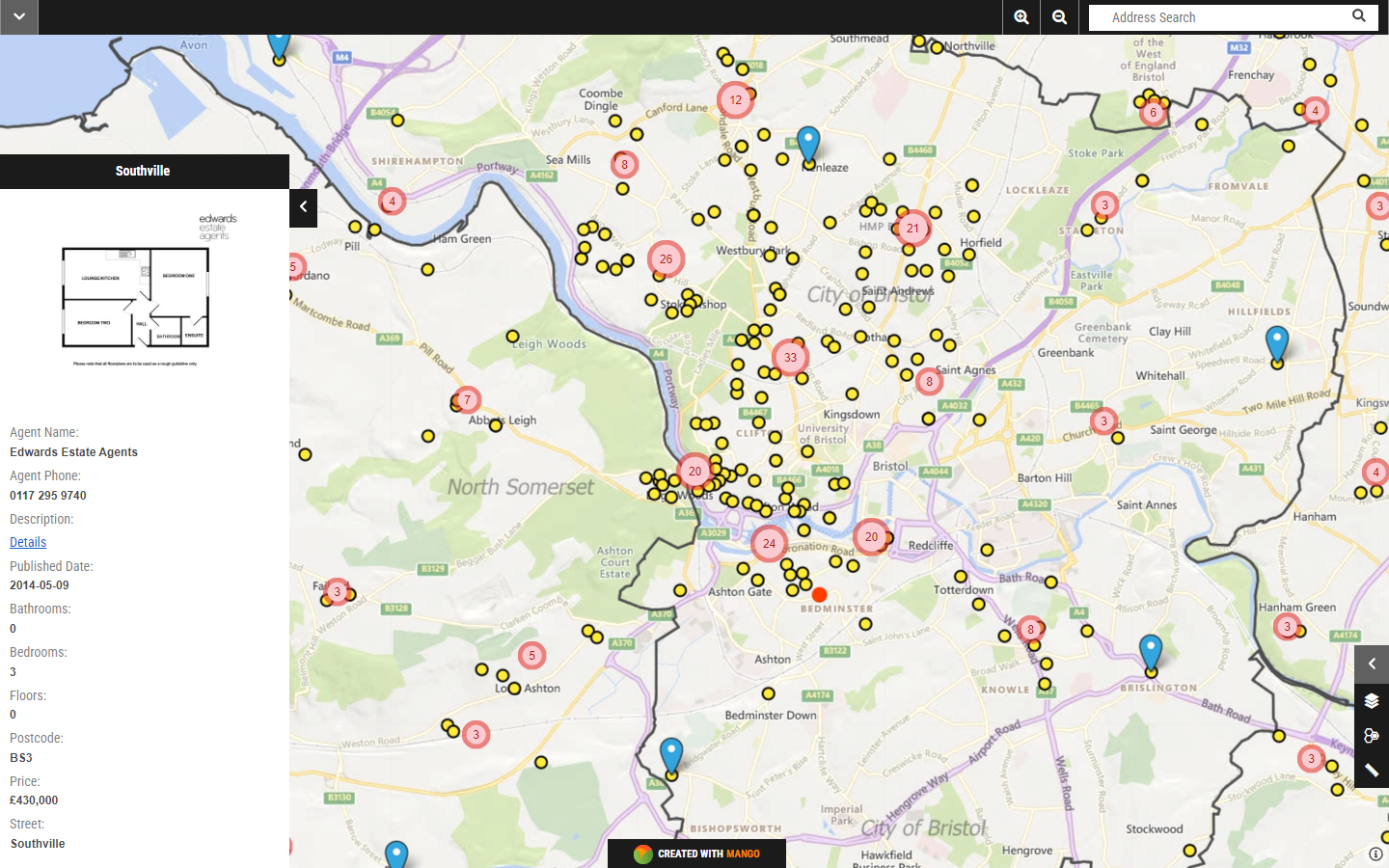
3. BatchGeo – Best Free Solution for Bulk Location Mapping
Pricing
BatchGeo offers a free version as well as a paid version. The paid version, BatchGeo Pro, starts at $99/month.
Features
As a mapping software, BatchGeo provides capabilities for mapping multiple locations in bulk, and color-coding markers by attribute. Other features are very limited, making BatchGeo a good starting point for someone just looking for a way to map many locations at once.
Advantages
The main advantage of BatchGeo is its low cost and ease of use, putting it a step above Google Maps.
Disadvantages
What you can do once locations are mapped is very limited with Batchgeo as it’s mainly just a bulk mapping tool.
User Sentiment
User sentiment for BatchGeo is high with an average rating of 4.7/5.
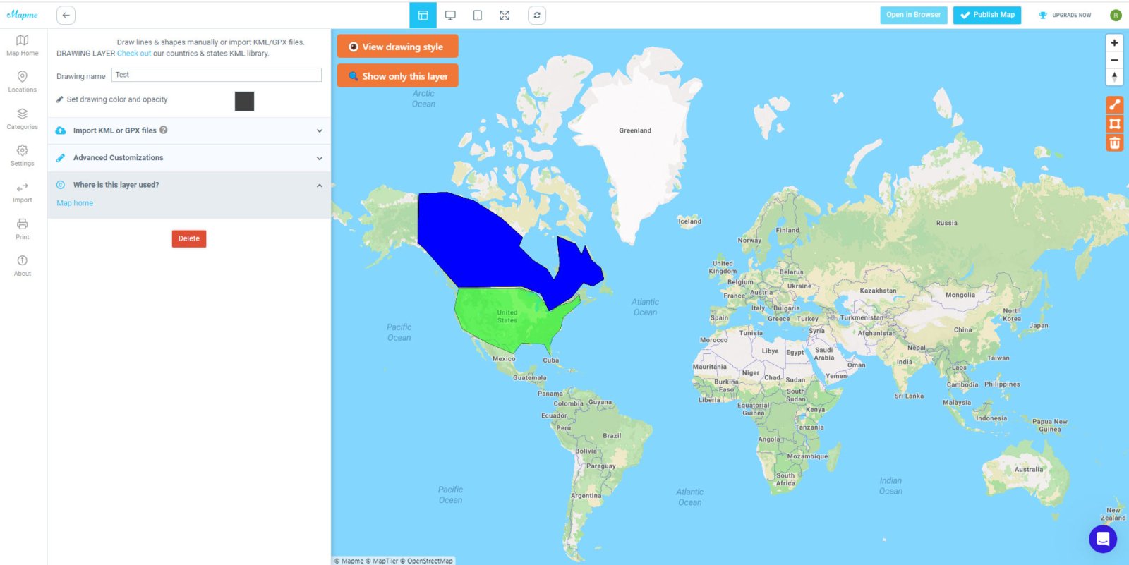
4. Mapme – Affordable Mapping with 3D Features
Pricing
- The Story plan, which includes up to 40 locations, costs $39/month
- The Pro plan, which includes up to 40 locations, starts at $75/month
- The Pro+ plan, which includes up to 1,000 locations, starts at $150/month
- They also offer an Enterprise plan, with bespoke pricing
Keep in mind that the prices above include just 1 published map and will increase depending on how many more maps you want to publish.
Features
Mapme features include marker customization, a media gallery, 3D buildings, as well as embedding and sharing capabilities.
Advantages
The cost of Mapme is low if you only need real estate maps with a few locations but can add up quickly if you need to map more than 40 locations.
Disadvantages
The number of locations that can be mapped with Mapme is very limited compared to tools like Maptive and Batchgeo.
User Sentiment
Users rate Mapme 4.0/5 on average on software review sites.
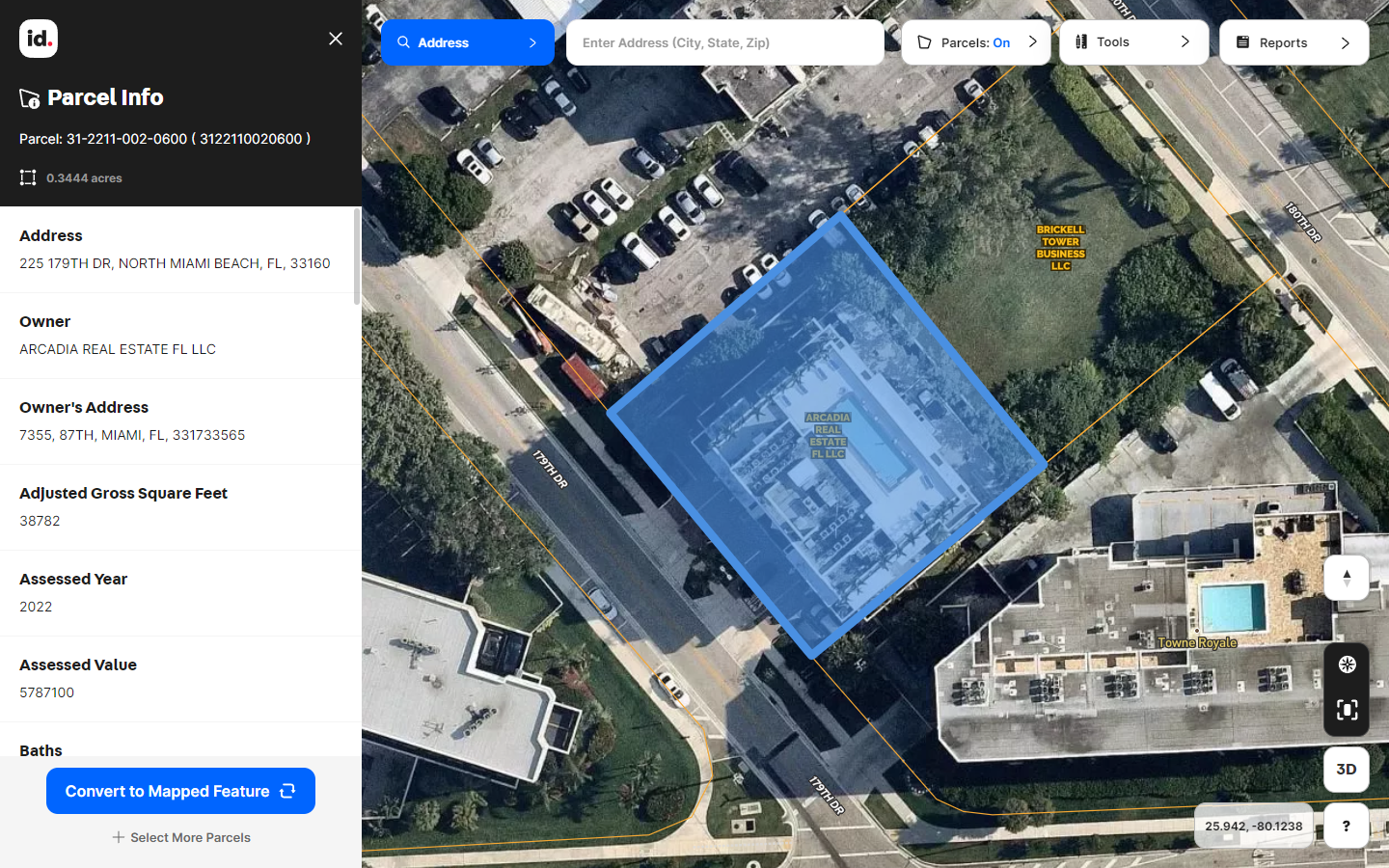
5. Land id™ (formerly MapRight) – Best for Land Data
Pricing
- The Discover plan, which includes private property info, property boundaries, and 20+ map layers, costs $14.99 per user, per month
- The Pro plan, which includes 3 custom maps, custom db creation, map sharing, and high-resolution print maps, costs $49.99 per user, per month
- The Pro Unlimited plan, which includes unlimited custom maps, costs $79.99 per user, per month
Keep in mind that to create custom maps you will need at least the Pro version.
Features
Land id™ provides property boundaries, map layers, and waypoints as part of their parcel data. As far as real estate mapping goes, their property mapping provides map creation, mapping tools, sharing & embedding, photo and video, land panoramas, soil reports, and more.
Advantages
Land id™ lets users create maps that include private parcel data, property lines, and detailed land information. Plus, it works on both mobile apps and desktop devices.
Disadvantages
Land id™ is a relatively new mapping software, and it doesn’t have as many features as some of the more established options. For example, it doesn’t have a built-in GIS system, and it doesn’t support 3D mapping. Also, while it is designed to be easy to use, there is still a bit of a learning curve.
User Sentiment
Users give Land id™ (formerly MapRight) an average score of 4.3/5
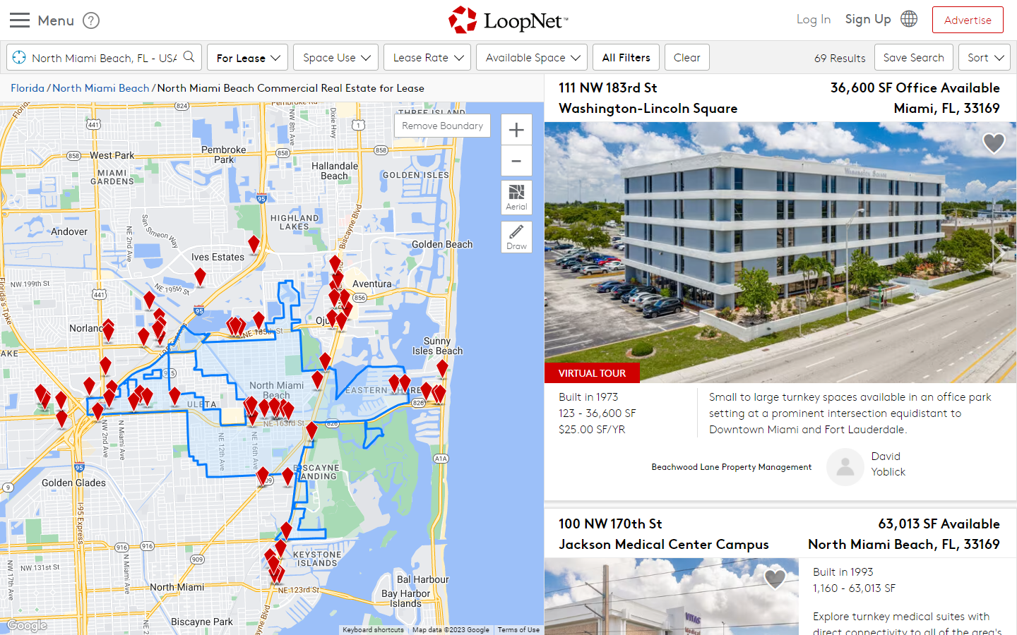
6. CoStar LoopNet – For Commercial Real Estate Listings
Pricing
LoopNet is free to use but costs money to advertise on.
Features
While not really a real estate mapping software, CoStar LoopNet provides a lot of additional data on to the commercial real estate property industry that can’t be found anywhere else. Loopnet is the world’s largest commercial real estate marketing platform.
Advantages
CoStar LoopNet has an extensive database of commercial real estate properties, making it a valuable resource for buyers, sellers, and leasers. Users and clients also benefit from valuable market research and analytics for informed decision-making.
Disadvantages
It is primarily a listing and data platform, lacking the mapping and visualization capabilities of dedicated real estate mapping software tools. Plus, LoopNet’s focus for real estate agent is limited to commercial real estate, making it less suitable for those seeking residential property listings.
User Sentiment
User sentiment for CoStar LoopNet is generally positive, with many users appreciating the platform’s extensive property listings and market insights. However, some users express concerns about the costs associated with advertising on the platform.
7. Visme – Best for Real Estate Presentations

Pricing
- The Basic plan is free
- The Starter plan costs $29/month
- The Pro plan costs $59/month
They also offer a Visme for Teams option with bespoke pricing.
Features
Visme offers a comprehensive set of features for creating captivating real estate presentations. Users can access real estate-specific templates for listings, property showcases, and market reports. The platform offers customization features for bespoke branding and also lets users integrate data and statistics to showcase property details and market trends.
Advantages
Visme offers robust data visualization tools, making property information and market data compelling and easy to understand. Real-time collaboration features enable real estate teams to work together, ensuring materials are accurate and up-to-date.
Disadvantages
Users often encounter a learning curve in mastering this real estate mapping software. Additionally, monthly costs can add up, which may be a concern for larger teams or organizations.
User Sentiment
Visme has an average rating of 4.5/5 on G2.
8. Mapline – Good Solution of Location Intelligence

Pricing
Mapline no longer advertises its pricing on its website but plans as of 2020 started at $720/year for Pro, which included up to 10,000 locations, and $1,080/year for Enterprise, which included 30,000 locations.
Features
Mapline offers a full toolkit for location intelligence for real estate agents, including the ability to import data from spreadsheets and address lists, geocoding, territory management, heat maps, and customization options.
Advantages
Mapline welcomes users of all skill levels and offers robust data analysis, fostering insights from location data. Real-time collaboration maintains accurate, up-to-date maps.
Disadvantages
The lack of publicly available pricing on the website may make it challenging for potential customers to determine costs without directly contacting the company.
User Sentiment
While Mapline is rated highly on review sites, it is worth noting that each site only features a very low number of reviews.
9. Maptitude – Great for Desktop Mapping
Pricing
- The Online Subscription costs $420 per year, per user
- The Desktop Subscription costs $695 per year, per user
- You can buy their real estate mapping software to run offline for $995, with the option of yearly updates for $695.
- The Enterprise plan for up to 10 users costs $9,995 per year
Features
Maptitude is known to be a user-friendly platform equipped with a range of features, including data analysis and visualization, map overlays, demographic data, and Google Places data.
Advantages
It offers robust data analysis capabilities, empowering users to gain meaningful insights from their geographic information. The integration of demographic and Google Places data enriches location information, adding an extra layer of context.
Disadvantages
Their basic plan lacks a mobile app, which may restrict users who require on-the-go accessibility. Additionally, the absence of live chat support can be a drawback for those seeking immediate assistance or answers to questions.
User Sentiment
Maptitude is highly rated for its features with an average rating of 4.7/5 on G2.
10. Mapbox – Powerful Custom Solution
Pricing
Mapbox’s pricing structure is consumption-based, eliminating the need for upfront licenses or long-term contracts. It welcomes developers with a free tier, allowing them to start building without immediate costs.
Subsequent pricing is determined by usage, tailored to the specific product and version. For example, web map usage is priced based on API requests, sessions (map loads), or monthly users (seats), depending on the context of the application.
Features
Mapbox offers features such as map layers, interactive map features such as interactive hover effects, 3D mapping, feature querying, location search, and filter features.
Advantages
One of Mapbox’s primary strengths is its ability to produce compelling geospatial representations, making it a valuable tool for developers and businesses seeking to create engaging user experiences.
Disadvantages
Mapbox may not be the ideal choice for simpler projects given its steep learning curve, and its rigorous data standardization may introduce additional complexities. Some users find that the documentation’s examples fall short of providing a comprehensive understanding of the platform’s capabilities.
User Sentiment
Users on G2 give Mapbox an average rating of 4.3/5.
Elevate Your Real Estate Game with Real Estate Maps
In the ever-evolving world of real estate, the right mapping software can be your competitive edge. Among the top-tier options we’ve analyzed, Maptive stands out as the go-to choice for real estate agents.
Boasting an array of user-friendly features, Maptive empowers users to create visually compelling, interactive real estate maps, whether you’re identifying investment opportunities, assessing property values, or needing to create optimized routes. With pricing options catering to various needs, Maptive offers an attractive solution for businesses of all sizes.
As the real estate landscape continues to transform, adopting Maptive’s location intelligence tools can elevate your sales and marketing strategies.
Embrace the power of Maptive and take your real estate game to new heights.
[START USING MAPTIVE WITH A FREE TRIAL]


