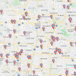
We all use Google Maps daily to look up places, get directions, and figure out the way home. However, there are many more functionalities in Google Maps than meets the eye.
We can help you get to know those lesser-known capabilities built into Google Maps right here and right now by exploring how you can search for locations by using latitude and longitude coordinates–or how you can look up the coordinates of a specific place directly in the Google Maps app.
In this article, we’ll start from the basics and walk you through:
- What Are Latitude and Longitude?
- How Can You Find a Location Using Latitude and Longitude?
- How Can You Find a Location’s Latitude and Longitude?
- How Can You Map Coordinates with Maptive?
- What Else Can You Do with Maptive?
What Are Latitude and Longitude?
Latitude and longitude are coordinates that determine the exact location of any place on our planet.
If you think back to your high school geography classes, you probably remember pictures of Earth’s surface looking like a grid, showing vertical lines running from the North Pole to the South Pole, and horizontal lines slicing the globe in concentric circles that radiate parallel to the equator.
The horizontal lines are latitude, measuring the distance north or south of the equator. The vertical lines are longitude, measuring distance east or west of the prime meridian in Greenwich, England.
Every place on Earth has a unique set of coordinates based on that grid so that together, latitude and longitude allow anybody to locate points or places on the globe.
How Can You Find a Location Using Latitude and Longitude?
Whether you’re using a laptop, phone, or tablet, you can easily find a location using its GPS coordinates by opening the Google Maps app and simply entering the latitude and longitude values in the search field, just like you would look up any address or business name.
It might be useful to know that latitude and longitude coordinates come in 3 different formats, and Google Maps accepts all of them.
The 3 formats are:
- Degrees, minutes, and seconds (DMS)
- Degrees and decimal format (DDM)
- Decimal degrees (DD)
How Can You Find a Location’s Latitude and Longitude?
You can easily find a location’s coordinates in Google Maps, but the process varies slightly from desktop to mobile.
Desktop
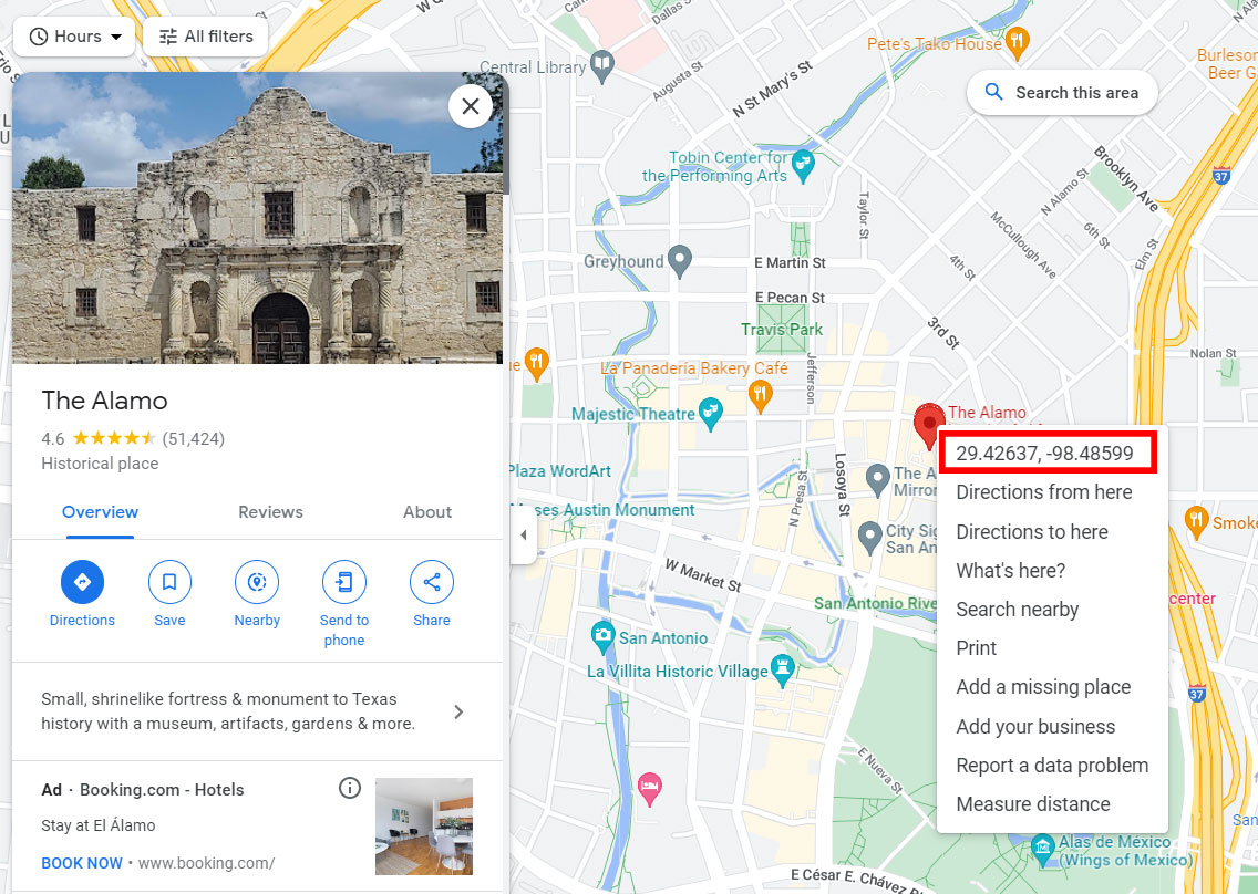
If you’re on a desktop, all you have to do is select the location you want in the search bar on the Google Maps website and right-click the red marker–at which point you’ll see a pop-up window showing the GPS coordinates.

Mobile
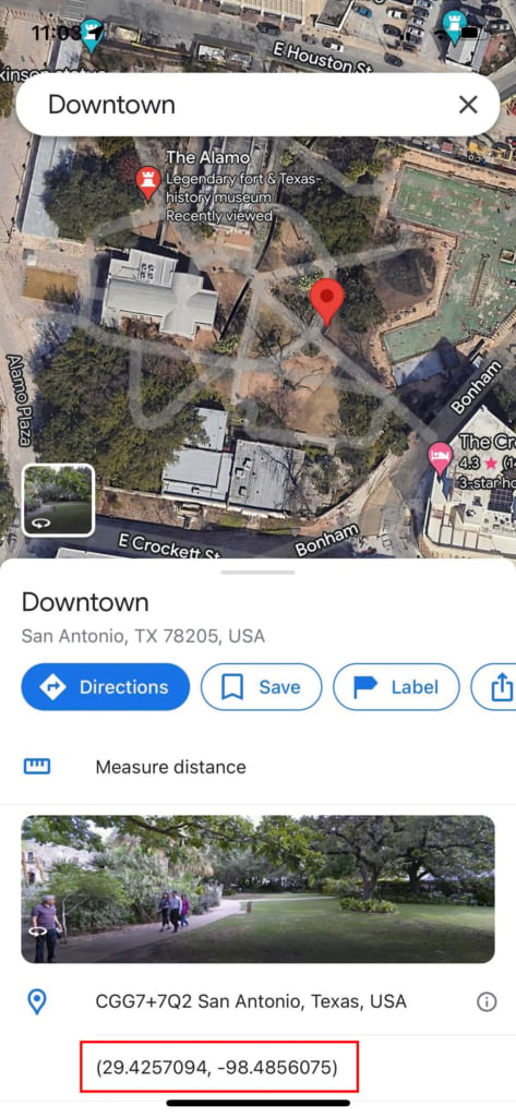
If, on the other hand, you’re on your mobile device, you’ll need to drop a pin on the map (to drop a pin, all you have to do is tap and hold that spot on the map), and the top address bar on your browser will be automatically populated with the latitude and longitude coordinates of the pin you dropped. If you are using the Google Maps mobile app, the coordinates will be listed in the details box after you click on the marker. (See Below)
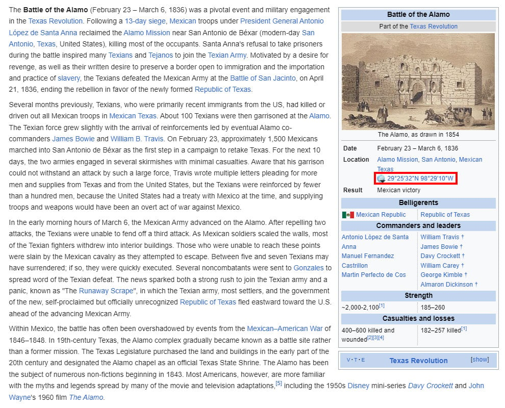
Wikipedia
You should also know that if the place you are looking for is a landmark, city, or otherwise noteworthy location, Wikipedia lists its GPS coordinates in the upper right corner of its dedicated page.
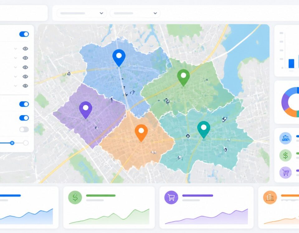
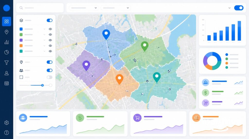
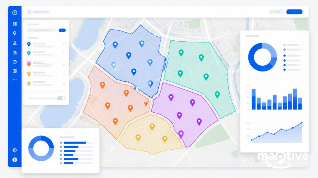
How Can You Map Coordinates with Maptive?
With Maptive, you can easily map coordinates in bulk instead of researching locations one by one.
Here’s how:
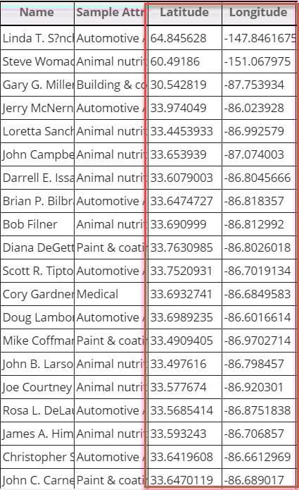
- Open Maptive and click on “Data.”
- Enter your map coordinates or upload them from a spreadsheet. Make sure your latitude and longitude are in two separate columns.

- Once you’re ready, click “Map” to view your coordinates. Like Google Maps, both DD and DMS formats will work.
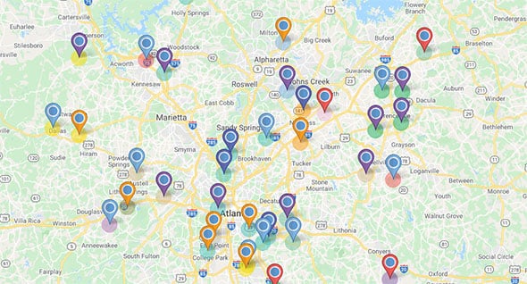
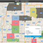
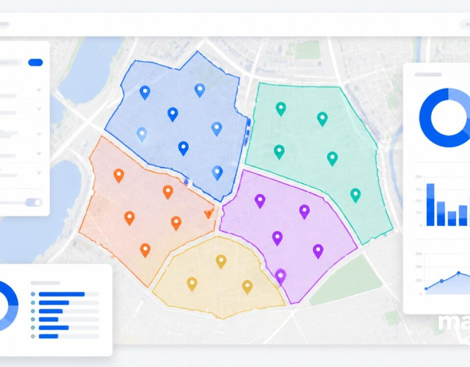
Once all your locations are visualized, and your map is created, you can use Maptive’s customization tools, like color-coding, creating territories, setting boundaries, and assigning logos or icons wherever needed.
You can also layer your location with additional data built into Maptive, like demographic information for each area you are analyzing or additional data points relevant to your business or research purposes.
What Else Can You Do with Maptive?
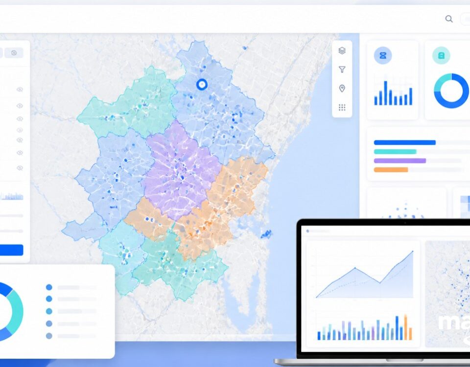
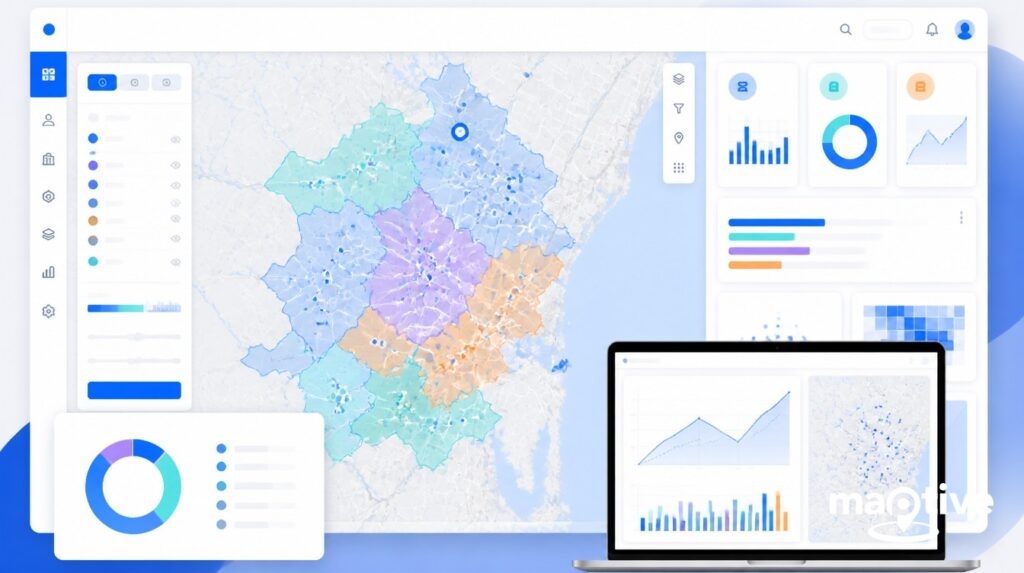
Maptive is a powerful mapping software that goes beyond mapping latitude and longitude coordinates. It features a full suite of features and tools that range from basic to advanced but require no coding knowledge.
Whatever your reason for using mapping software, whether it’s business-related or academic, Maptive can help you visualize your data and easily draw insights from information that would otherwise be trapped in a spreadsheet.
- Heat Mapping: Use heat maps to analyze sales, population, and more. With Maptive’s custom heat maps, users can plot and easily visualize the density of specific markers or numerical data.
- Drive Time Map: Easily calculate driving times for multiple locations and quickly determine what’s within your travel distance. Maptive’s Drive Time Map tool is continuously synced with Google Maps, so users can analyze road networks and traffic to build an accurate map around their starting location.
- Radius Map: Quickly run a proximity analysis on a segment of your location data. Unlike other software, Maptive’s Radius Map tool allows users to create as many radius circles as they want and fully customize their visual appearance.
- Geographic Boundaries: Create visual boundaries by county, state, zip code, district, and more. Users can display color-coded regions based on marker density, their data, or public demographic data.
- Territory Drawing: Support your revenue growth with relevant territory maps based on your data and powered by Maptive’s AI algorithm. You can avoid the guesswork of splitting up territories by assigning accounts to salespeople based on defined metrics, such as sales numbers, geographical boundaries, and market size.
- Route Planning & Optimization: Save time and money and stay focused on your meetings and deliveries while we organize them in the most efficient way possible. With Maptive’s Route Planning & Optimization tool, users can find the best route between as many as 25 locations with up to 73 stops and project accurate travel times.
Ready to Get Started?
Searching “Google Maps latitude and longitude” may get you lost in a maze of Google queries, so it’s good to remember that at any point, you can open Google Maps and follow the steps outlined above to get a clear answer. If you need to find the coordinates to your current location or plot a couple of latitude and longitude coordinates into a clear map, you can easily use Google Maps to find what you’re looking for.
If, on the other hand, you need to make sense of batches of GPS coordinates at a time, Maptive can save you time and minimize the effort of plotting each individual exact position. Plus, it allows users to customize Google Maps, pick the styles they prefer, manage how elements and icons show up on display, and create Google map styles that are one of a kind.


