


Microsoft Streets & Trips Alternative
Maptive is the modern cloud alternative to Microsoft discontinued Microsoft Streets and Trips, with current maps, business mapping tools, and real people on support, ready the moment you sign in.
No credit card required
- Modern cloud replacement, still maintained
- Built for sales, not single trips
- Current maps on any device
- Real support from real people
Trusted by teams at
















Why Streets and Trips Users Need a New Home
Microsoft retired Streets and Trips in 2014, and the recommended replacement never fit sales teams.
Streets and Trips grew out of Microsoft's 1994 purchase of Autoroute, and the 2000 release folded in Expedia Trip Planner to build a strong route-planning platform. Microsoft updated it through 2013, then announced in July 2014 that it was done. The maps stopped refreshing, so the roads and addresses inside the software drift further out of date every year.
Microsoft pointed users to Bing Maps, but that is a consumer tool for finding one place at a time. It was never built for sales and lead generation, so teams that planned multi-stop routes and managed territories lost the features they relied on. A modern replacement has to bring back the route planning and add the business tools a desktop product from 2013 could not.
The Maptive Advantage
Everything Streets and Trips did for routes, plus the business mapping tools it never had, in one browser-based platform.
| Capability | What Maptive Delivers |
|---|---|
| Route Optimization | Find the fastest sequence across up to 73 stops with Google routing and live traffic, then export turn-by-turn directions to a phone. This is the multi-stop planning Streets and Trips was known for, now in the cloud. |
| Platform Access | Runs 100% in the browser on the Google Maps Platform, across Mac, Windows, iOS, Android, Chromebook, and tablets. There is no desktop install to maintain and no Windows-only limit. Sign in from any device and your maps are right there. |
| Current Map Data | Maps and addresses refresh automatically on Google infrastructure, with real-time traffic, current satellite imagery, and Street View across 112 countries. You always plan on roads that exist today, not a snapshot frozen in 2013. |
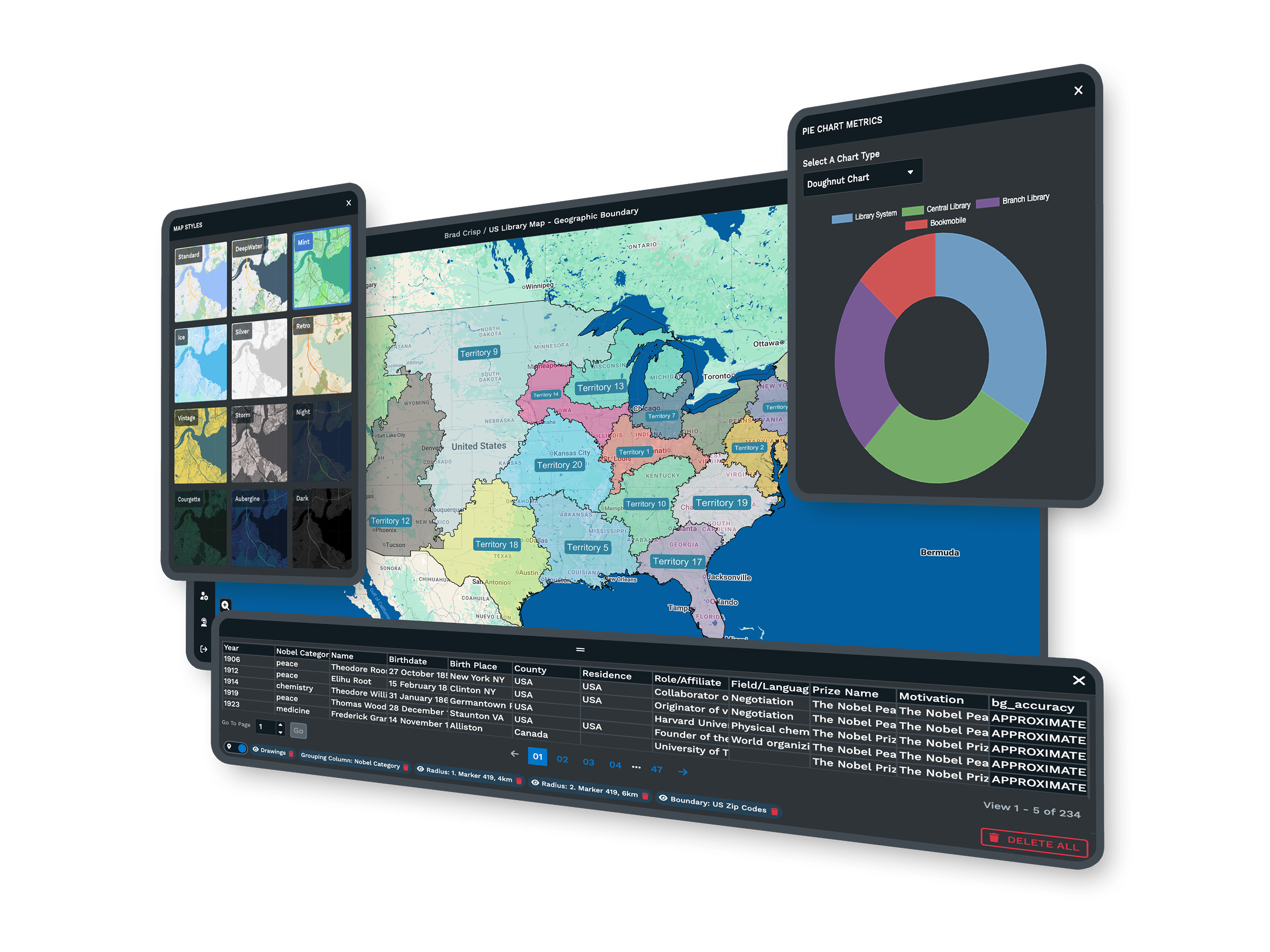
| Business Mapping | Build sales territories by zip, county, or state, layer 50+ census variables, draw drive-time polygons up to 8 hours, and turn data into heat maps. These are the lead and territory tools a consumer trip planner never offered. |
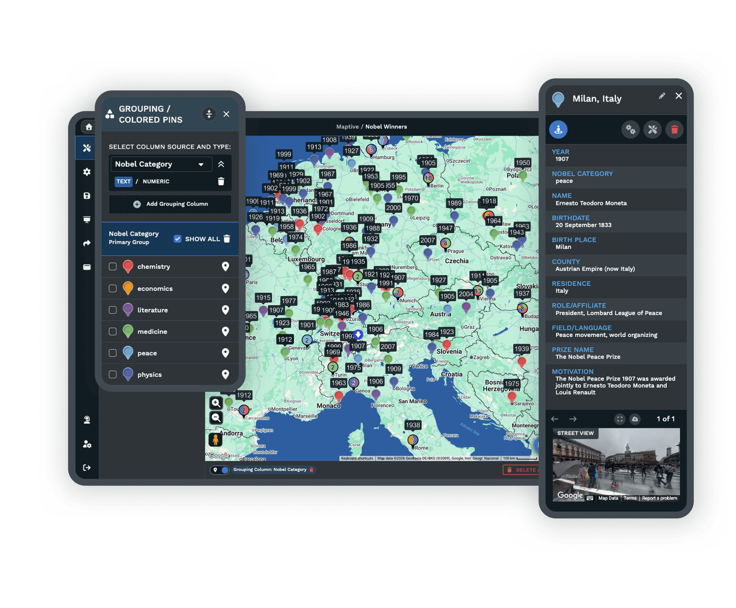
| Data Import | Upload an Excel or CSV file, paste rows, or connect a live Google Sheet, and your locations plot on an interactive map in seconds. CRM sync with Salesforce, HubSpot, Zoho, Pipedrive, and Keap keeps maps current as records change. |
| Real Support | A 30+ person team in the US and Canada answers by live chat, phone, and email on every plan, with first reply under 15 minutes and most requests solved the same day. Data imports and file cleanup are included. G2 rates support 9.7 out of 10. |
| Sharing and Export | Turn a map into a link with optional password protection, embed it on a site, or export print-ready images and CSV data. Recipients open the map in any browser with no account, so a route or territory map is easy to hand off. |
| Security and Uptime | 256-bit SSL encryption, two-factor authentication, single sign-on, and role-based access protect your data, and Maptive passed the Salesforce AppExchange security review. Cloud infrastructure held 99.9% uptime with zero major outages in 2025. |
The Route Planning You Came For
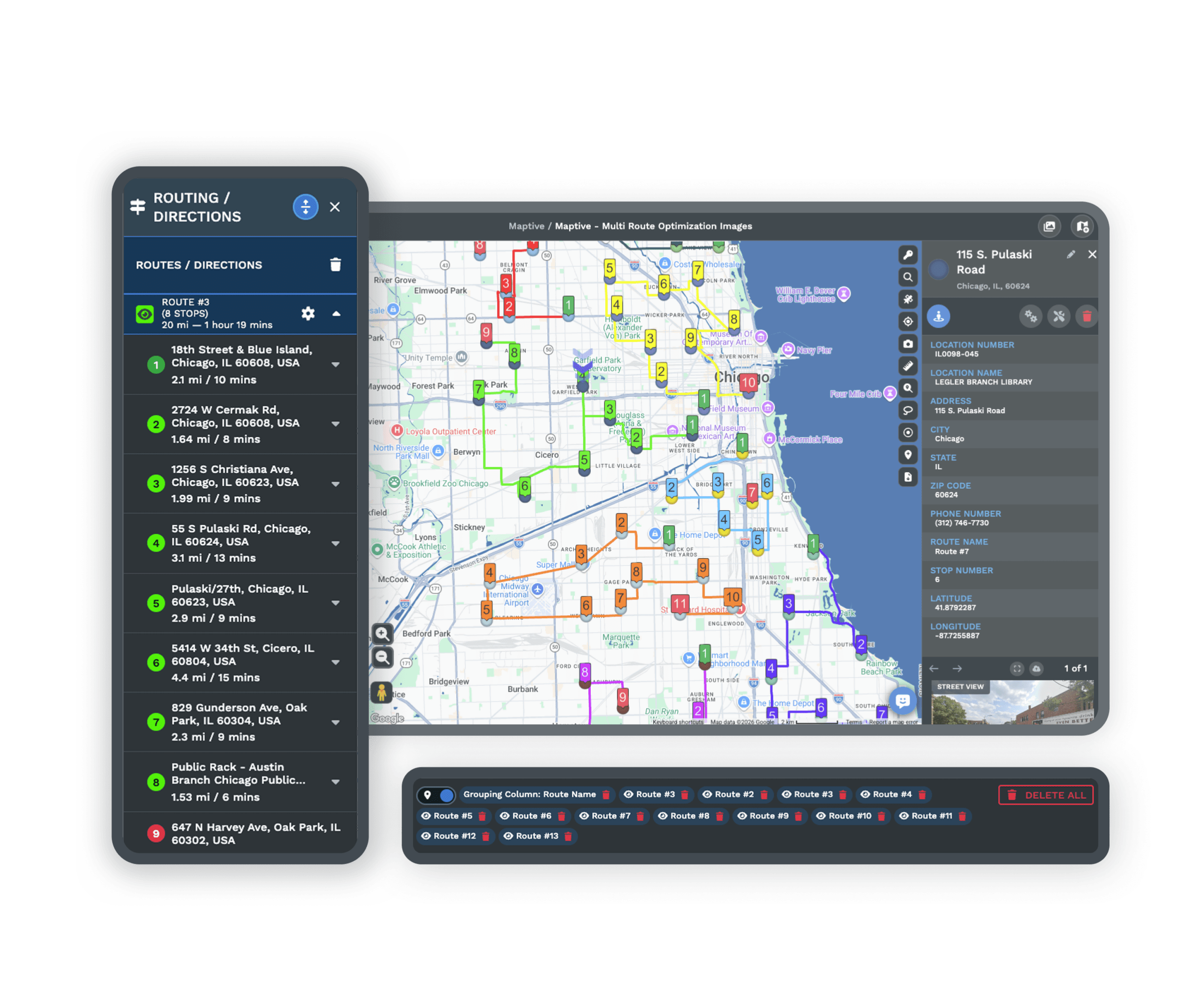
Find the fastest route between two stops or plan multi-stop trips across as many as 73 locations at once. Maptive uses Google's routing engine with live traffic, so the order it gives you reflects the roads and conditions of today, not a map that stopped updating years ago.
Export turn-by-turn directions straight to a phone, or print them to take along. Teams using these route tools report 18% lower fuel costs and 22% more service calls per day, which is the kind of efficiency Streets and Trips users were chasing.
A Cloud Tool You Reach From Anywhere
Streets and Trips lived on one Windows desktop. Maptive runs in any modern browser on Mac, Windows, iOS, Android, Chromebook, and tablets, so you can adjust a map from the office, the road, or a client site without installing a thing.
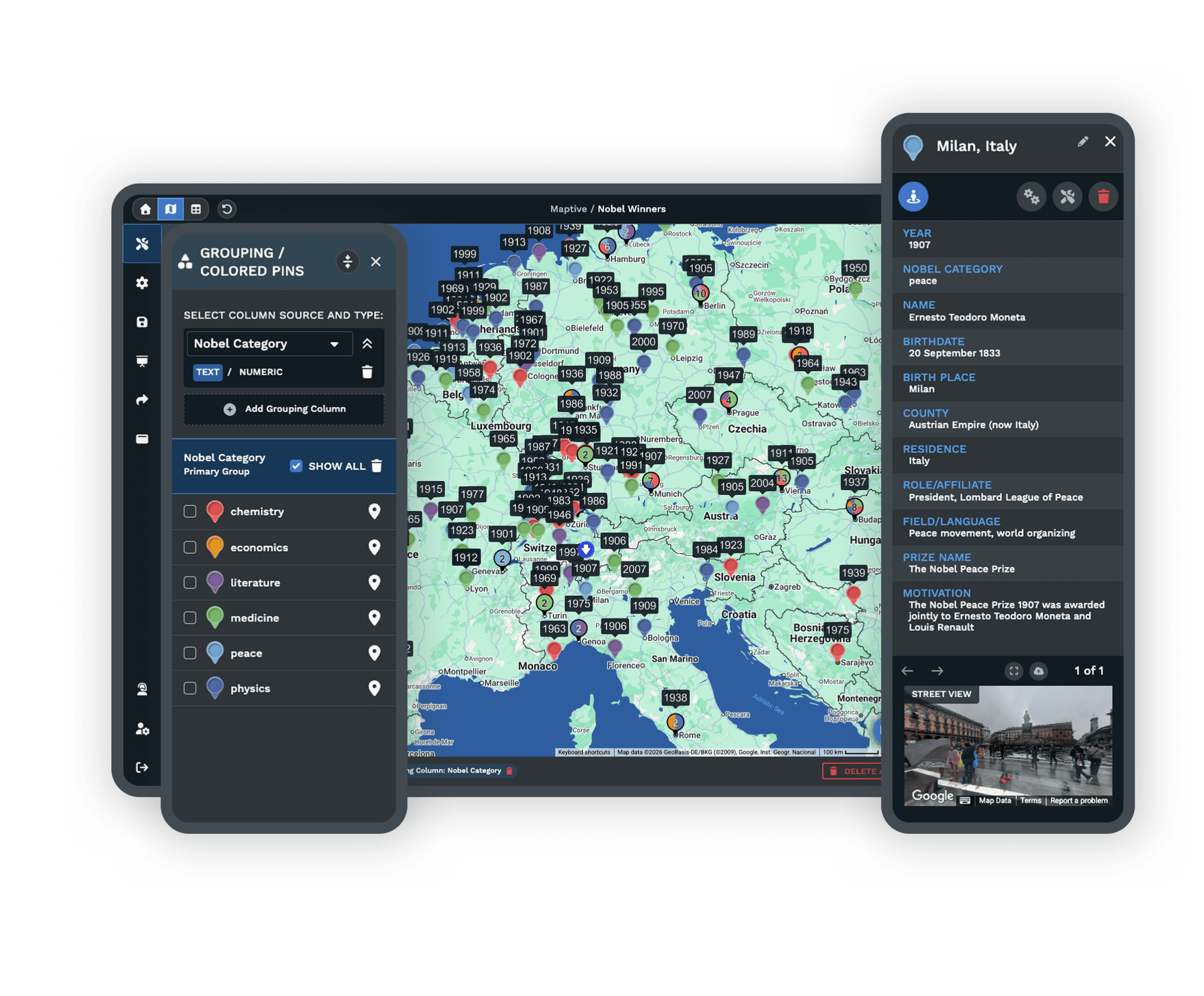
Upload an Excel or CSV file, paste your rows, or connect a live Google Sheet, and your locations plot on an interactive Google Map in seconds. Use the filter tool to decide what shows and what stays hidden, then make changes on the fly while you travel.
More Than a Trip Planner
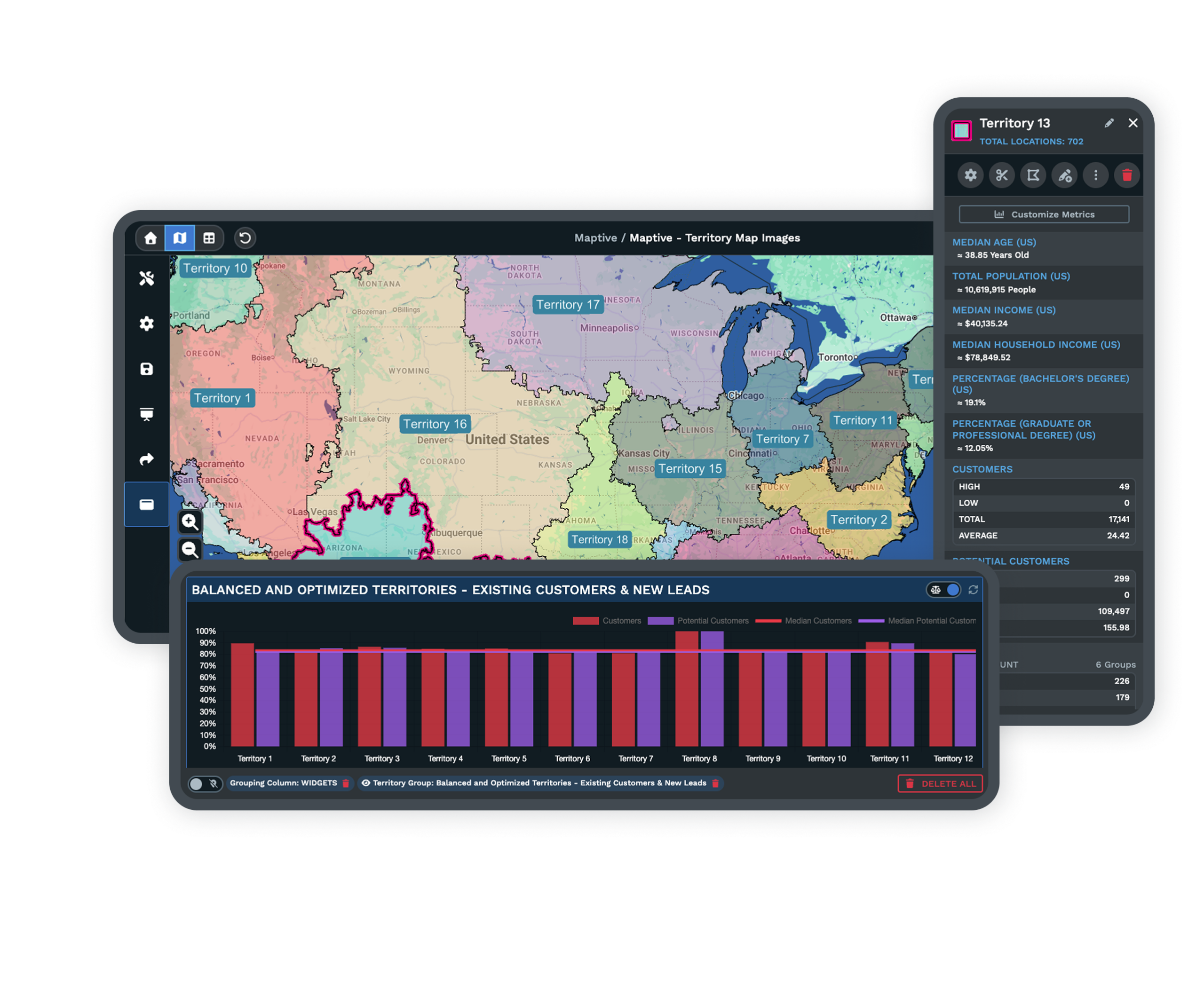
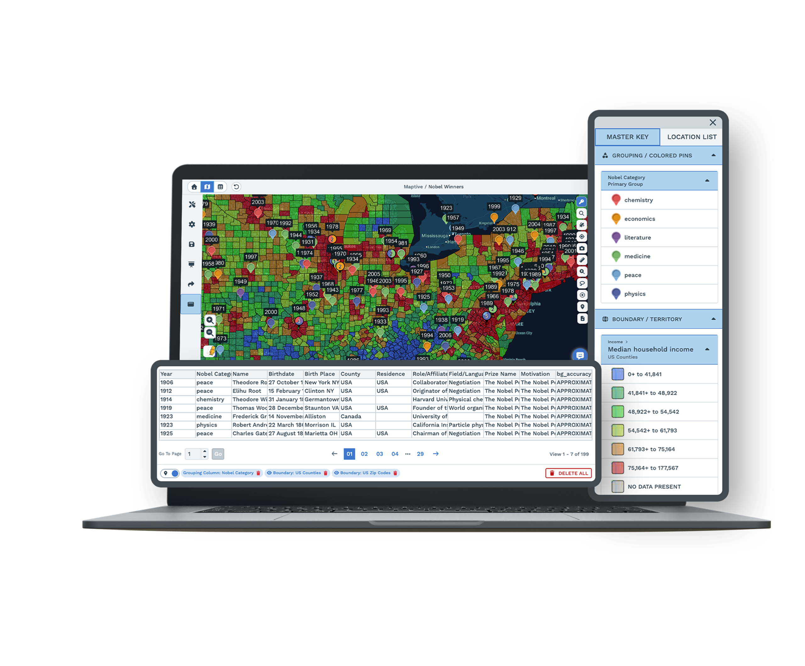
Maptive brings back route planning and adds the business tools a consumer product never had. Build sales territories from zip codes, counties, or states, or draw your own boundaries, then track sales and performance for each region against its goals.
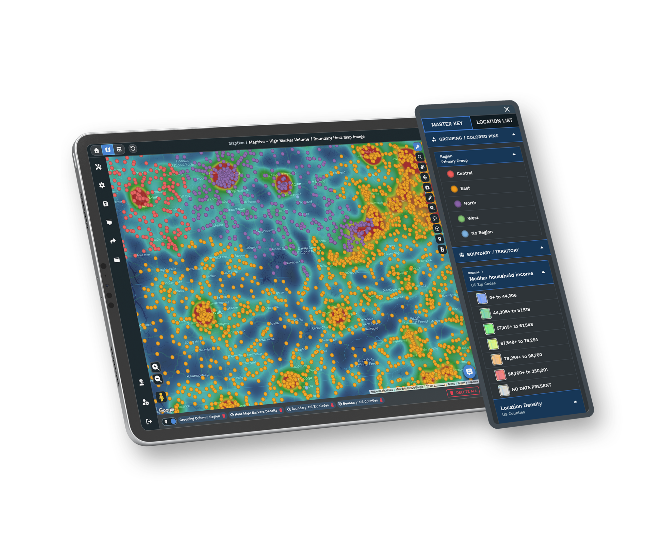
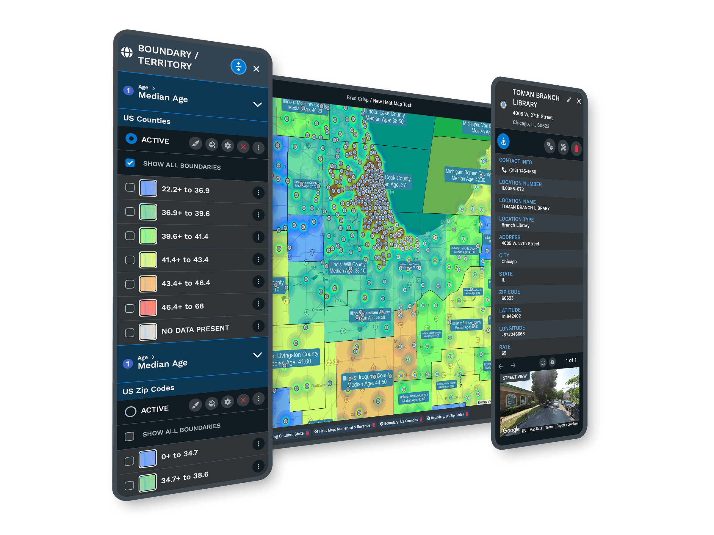
Layer built-in census data to read income, age, and population in your target markets, and build heat maps that show where sales or customers concentrate. Drive-time polygons set service areas and assign leads to the right salesperson, so a map becomes a planning tool rather than a printout.
Maps That Stay Current, and People Who Pick Up
Because Maptive draws on the Google Maps Platform, your roads, addresses, traffic, and satellite imagery refresh automatically across 112 countries. The data never goes stale the way a discontinued desktop product does, so every route you plan starts from current information.
When you have a question, our 30+ person team in the US and Canada answers by chat, phone, or email, with most replies in under 15 minutes. Help with data imports, file cleanup, and custom maps is included at no extra cost, so you are never stuck the way abandoned software left people.
What You Get With Maptive
Multi-Stop Routing
Plan the fastest sequence across up to 73 stops with live traffic, then export turn-by-turn directions or print them for the road.
Always-Current Maps
Roads, addresses, traffic, and imagery update automatically on Google infrastructure, so your data never freezes the way old software did.
Works on Any Device
Open Maptive in any browser on Mac, Windows, iOS, Android, Chromebook, or tablet. Nothing to install, and no Windows-only limit.
Sales Territories
Build territories by zip, county, or state, or draw custom boundaries, and track sales and performance for every region.
Demographic Data
Layer 50+ census variables for income, age, and population, and read new market insight straight from your map.
Heat and Bubble Maps
Turn raw numbers into heat maps and bubble maps that show where sales, customers, or demand concentrate.
Easy Import and Export
Bring in Excel, CSV, or a live Google Sheet, plus CRM sync, then export print-ready maps and CSV data in one click.
Expert Support Included
Mapping specialists answer by chat, phone, and email, most within 15 minutes, on every plan with no premium tier.
Microsoft Streets and Trips Alternative FAQs
Why did Microsoft discontinue Streets and Trips?
Is Maptive a good replacement for Streets and Trips?
Why is Maptive better than Bing Maps for sales teams?
Does Maptive handle multi-stop route optimization?
Will my maps stay up to date in Maptive?
Does Maptive work on Mac, not just Windows?
Can I import my existing location data?
Can I export and print directions like I did before?
How much does Maptive cost, and is there a free trial?
How do I switch from Streets and Trips to Maptive?
Free trial, every tool, no credit card
Replace Streets and Trips Today
Start a 10-day free trial with no credit card and every tool unlocked, or book a demo and we will set Maptive up around your routes and data. Most people build their first map in under five minutes.
Switching From Streets and Trips?
Upload your Excel or CSV file and Maptive geocodes it automatically. Our team helps with imports and file cleanup at no charge, and most people are mapping in minutes.








