
So often, the most successful political campaigns emerge uncontested winners on election day because their top campaign managers used every tool at their disposal to move potential voters and get an edge on their opponents, including political campaign mapping software.
The right political campaign software can help you plan and execute election campaigns more efficiently and effectively by running demographic data analyses, using voter data for campaign strategy, expanding your voter database, targeting and mapping, and easily sharing & exporting maps.
Whatever level of government your candidate is running for, political campaign management software like Maptive can help you further hone your outreach campaign strategy, reach your voters faster, and cut costs.
In this article, we’ll explore the following:
- Benefits of Using Mapping Software for Election Campaigns
- Types of Software for Political Campaigns
- How to Use Mapping Software for Voter Targeting
- How to Use Mapping Software for Canvassing
- How to Use Mapping Software for Data Visualization
Benefits of Using Mapping Software for Election Campaigns
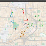
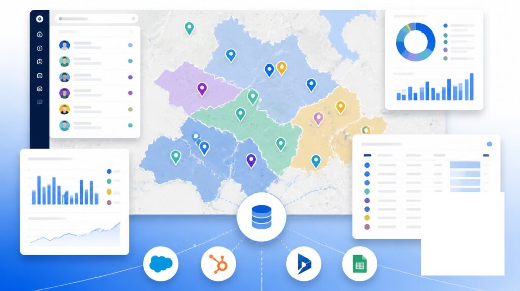
With the right political campaign software, you can create maps that can help visualize your constituencies & voter data, areas you’ll need to canvas, zip codes where you might want to recruit volunteers or concentrate your mailing and canvassing efforts, and so much more.
If you can’t look at each of the informative maps of the territories you are targeting and see where you are ahead, and behind your opponents, you will probably struggle to come out ahead on election day. So to help you succeed and refine the strategy of your political parties and campaigns, we have summarized the main benefits of using a mapping software like Maptive.
Map voter data to plan your campaign
Tired of using generic mailing lists for your events and fundraising efforts for your political party? With mapping software, you can visualize your supporters’ information to gain insights to help you run a more effective political campaign. Import voter data and generate informative maps to identify key demographics and voting patterns of residents within your district, helping you make better decisions about where to focus your targeting efforts.
Geocode and symbolize campaign contributions
Analyze and understand your existing and potential donors and fundraising efforts in different areas. Import the voter data for your political race contributions into the mapping software and watch it plot your donors on an interactive map that you can customize with logos, symbols, and colors to visualize your data meaningfully.
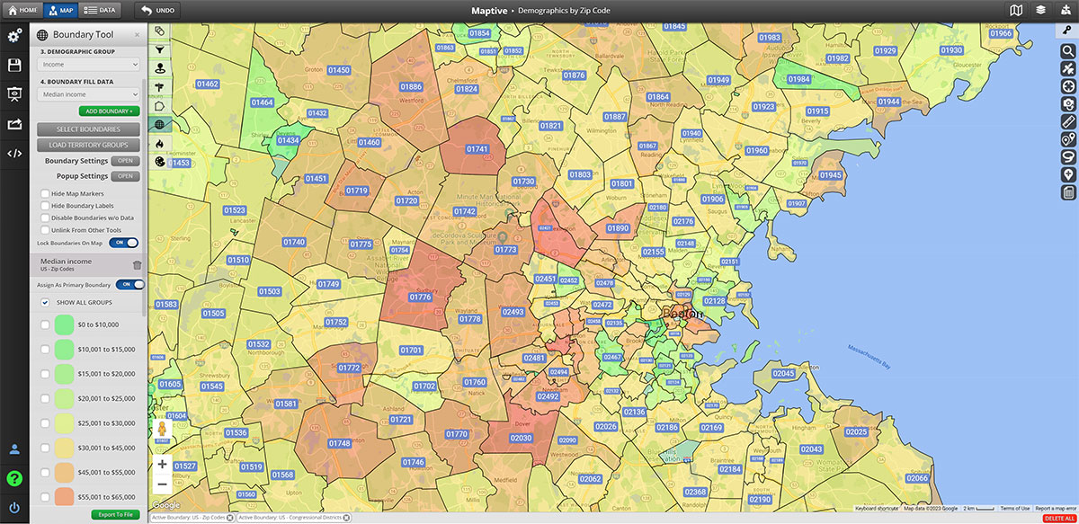
Gain insight into voter demographics
Maptive comes complete with built-in Census data available for you to use. This demographic data includes attributes like population, age, race, gender, income, and housing. You can use this information to develop voter mapping that will uncover important patterns across your community or focus on specific constituencies.
Visualize event coverage
Add events to your map and see the coverage and timing. You can then identify voters near each event and generate refined contact lists or plan new events in areas where you see supporters’ hot spots. You can also get the latest voter file from your political party or county election office and use Maptive’s advanced geocoding tools to map & invite the voters you want based on their party affiliation and voting history.
Types of Software for Political Campaigns
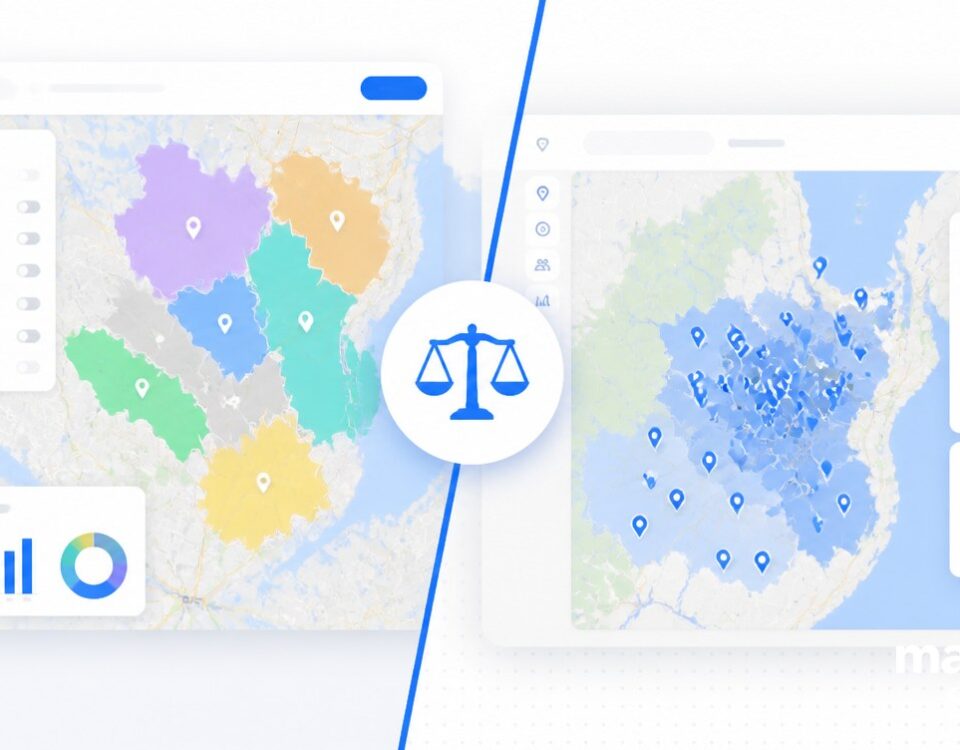
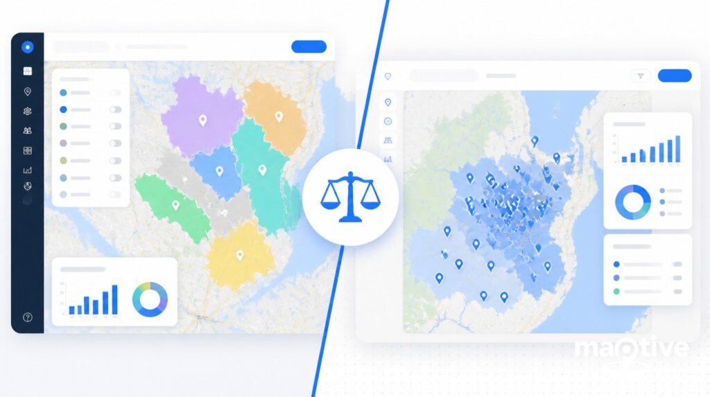
When it comes to political campaigns, political campaign software and election mapping software are two of the most popular choices to support your victory.
- Political campaign software, generally speaking, can help you manage your campaign operations, including fundraising, volunteer management, and voter outreach. Some examples of political campaign software include NGP VAN, NationBuilder, and Salesforce.
- Election mapping software, on the other hand, can help you analyze election data like voter demographics, voting patterns, and precinct boundaries. This can be very useful for creating targeted voter outreach strategies and identifying potential swing districts. Maptive is one of the best political campaign software out there.
You may decide to use one or both of these tools depending on the size and scope of the campaign, your overall budget, and the campaign’s specific goals.
For example, smaller grassroots campaigns usually rely heavily on volunteer efforts, so it might make more sense for them to use political campaign software.
However, larger campaigns with an established infrastructure and a greater emphasis on data analysis and campaign strategy will probably need election mapping software.
How to Use Mapping Software for Voter Targeting
All political campaigns strive to target specific voters, but without the best political campaign software doing so may result in a bit of a struggle. You can stop blanket canvassing and instead focus your outreach only on areas where you can identify supporters’ hot spots.
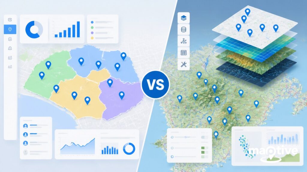
With Maptive, you can create a detailed profile of your constituencies and identify areas where potential supporters may reside by overlaying multiple data sets onto a map, including demographic data like age, gender, income, and education level, combined with overall population density trends, census tracts and statistics.
From a user perspective, you have to import your voter data, then segment the voters in relevant data in the most strategic way possible, and then create targeted lists for your digital or personal outreach. And thanks to Maptive, you can then choose to map voter locations in various ways: visualize them in bulk, segment them using the marker grouping tool, or map them by census tract, congressional districts, or zip codes.
How to Use Mapping Software for Canvassing
Maptive includes many functionalities that can help you maximize on-the-ground efforts and ensure good coverage in specific areas.
With Maptive, you can add a layer to your map showing the locations of polling places and yard signs, and you can then see if there are any gaps and reach out to voters in those areas. And if you’re planning to canvass neighborhoods door-to-door in your city, you can use Maptive to design efficient neighborhood walks that will save you time and help you connect with more communities.
In fact, Maptive’s tools and features are so flexible that you can even use them to plan routes, track canvassers, and manage data collected from door-to-door outreach–effectively delivering you and your political campaign immense value to help increase voter turnout.
How to Use Mapping Software for Data Visualization
Share your results and streamline your election operations! With Maptive, it’s really easy to share your maps with your team to encourage collaboration, embed them on your candidate’s website, or privately send links to the interactive visualizations to all your stakeholders.
Then again, if you prefer to hang maps of your target territories on your headquarters’ walls, you can also export and print them in poster size.
With Maptive’s intuitive campaign management platform, users can build a custom elections map in just a few easy steps:
Step 1. To start a new map, log into Maptive and click the Create a Map menu icon.
Step 2. Open your Map Settings and explore custom styles created from our templates or begin styling your election maps with objects, colors, and other settings as you prefer.
Step 3. Select Advanced Settings to enable, disable, or customize the appearance of any objects or layers on your map, including city, state, address, zip codes, and anything else you want.
Step 4. Display your customized election maps in your presentation or document, embed them on your website, and enjoy the results!
Conclusion
Ready to take your election campaign to the next level? Then it’s time to invest in the best political campaign software! This powerful tool helps you visualize voter data, identify key demographics, and understand district boundaries. With mapping software like Maptive, you can create more effective targeting strategies and make data-driven decisions that give you a competitive edge.
In this article, we’ve explored the importance of using mapping software in election campaigns, including its many benefits, from the ability to help you gain a better understanding of your target audience to identifying key swing districts.
So, whether running a grassroots campaign or managing a larger operation, mapping software like Maptive is essential for any modern political campaign. With its ability to help you create more effective outreach strategies and make data-driven decisions, you can gain a strategic advantage that can make all the difference on election day.
Don’t wait–sign up for Maptive today and start taking your political campaign to the next level!


