Calculate Land Area and Perimeter Using Maptive Mapping Software
How to Calculate Area and Perimeter using Maptive
There are a number of scenarios in which you may need to quickly calculate the perimeter or area of a given location on a map. Luckily, today’s tools and technology make this a simple task as long as you’re using the right software.
How Do You Find a Perimeter on a Map?
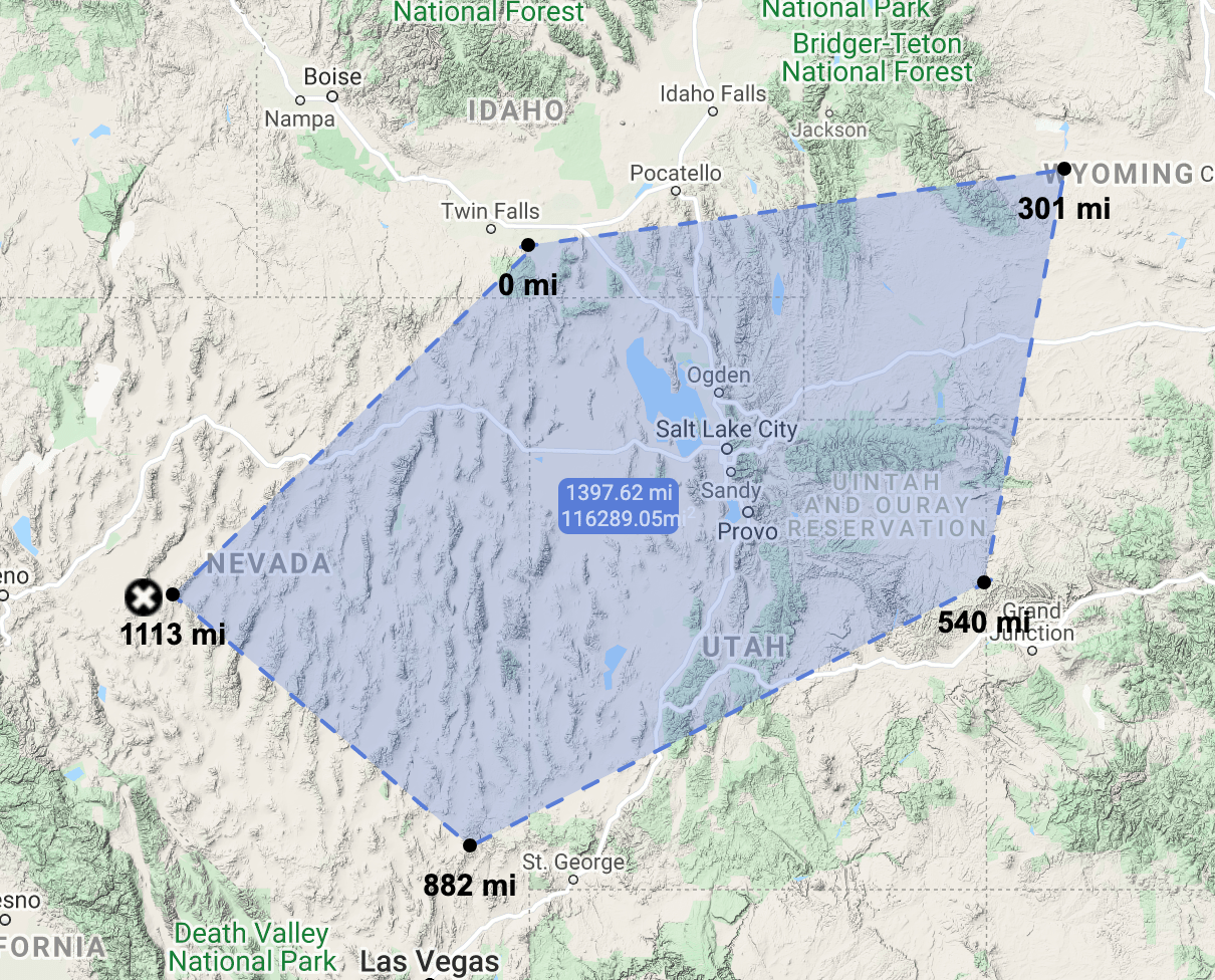
The perimeter is the distance around the outside of a given area. It’s measured in feet, miles, meters, kilometers, and any other standard unit of measurement. You can calculate the perimeter of a plot of land using the distance calculator tool from Maptive and the single-point distance measurement for measuring one distance or multi-point distance measurement for measuring the distance of all sides of a polygon.
How Do You Find the Area of a Location on a Map?
The area is a measurement of the total area inside the perimeter. It’s measured in square feet, square miles, square meters, square kilometers, acres, and hectares. To calculate the area using Maptive, you simply need to use the distance calculator tool. Creating a polygon around the area, you want to calculate allows you to quickly and easily calculate the area.
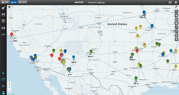
Can you use Google Maps to Measure the Perimeter and Area of land on a Map?
Filter Tool
Google Maps is an amazing free tool that has several different applications. Unfortunately, it has very few customization options. This means that if you want to calculate a location’s perimeter or area, you’ll need to use something a little more sophisticated.
Maptive offers user-friendly mapping software that provides the tools you need to create beautiful interactive maps. Our area calculator tool allows you to measure perimeters and areas in just a few clicks. Once your map is complete, export it and share your findings with others.
Best of all, Maptive’s software utilizes Google Maps. This means you’ll enjoy all the features of your favorite mapping platform with several additional features.
Here’s how to calculate the perimeter and area of a location with Maptive
Step 1: Sign up for a Maptive free trial account. Try Maptive for free and explore the many mapping tools we have to offer.
Step 2: Create your map. Upload address data to plot specific locations with markers, or click “Create Map” to open a blank map and build it from scratch.
Step 3: Open the distance calculator. Click on the distance calculator Ruler icon on the right side of the screen, then select the “Multiple Point Distance Measurement” option.

Step 4: Draw your area. Zoom in and move your cursor to the area you want to measure, then click to begin. Click to set different coordinates and create your desired polygon, then click the first point to close the shape.
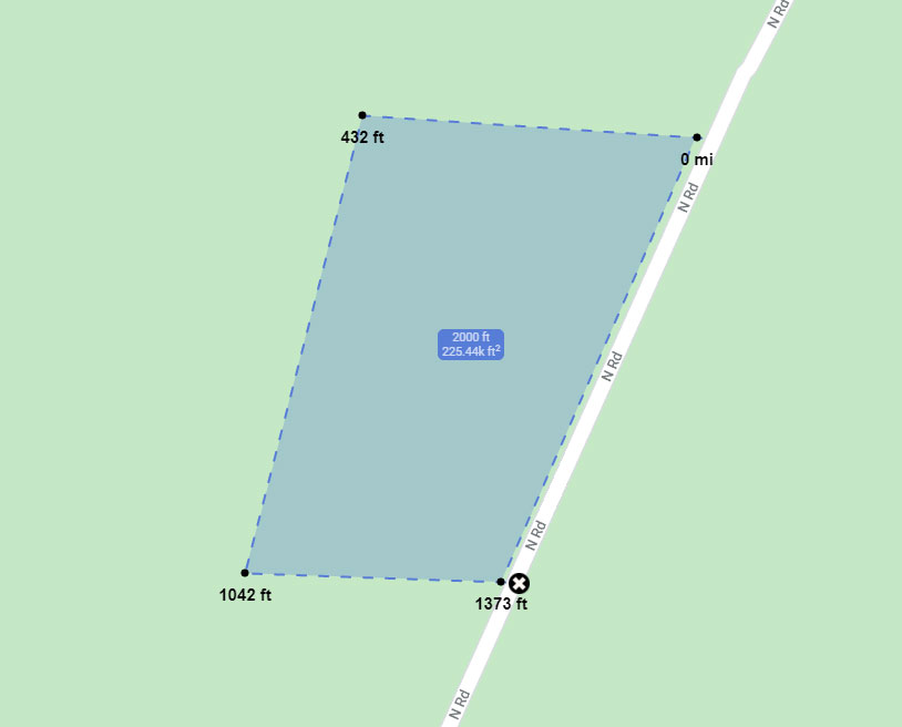
Step 5: Get your measurements. Once your polygon is created the perimeter and land area will be displayed in the middle.
Perimeter and Area Measurement Conversions
Maptive measures perimeter and area in ft or miles, but if you need a different measurement, the conversions are easy to calculate.
1-mile equals:
- 5280 feet
- 1609.34 meters
- 1.60934 kilometers
1 square mile equals:
- 2.58999 square kilometers
- 640 acres
- 258.999 hectares
To create custom maps and calculate distance, area, and perimeter with your data, sign up for a free trial of Maptive now.
Start Your Free, No Risk, 10 Day Trial
No credit card required. No surprises. Just Results.


