Topographic Mapping
Knowing the elevation of geographical features is an important factor to consider when building a topographical map. Use Maptive’s terrain maps to visualize hills and mountain ranges, and measure the elevation of certain areas of your map.
What Does an Elevation Change Map Show?
An elevation change map shows two things:
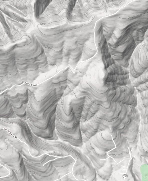
- A Visual Representation of Elevation Profiles: Contour lines show changes in elevation. Some more advanced maps also show changes in the surface of the Earth with 3D representation. This specific feature is what’s known as a topographical map.
- A Measurement of the Elevation Above Sea Level: Elevation measurements are displayed at certain points on the map to tell you the height above sea level at that point.
You’ll find these features on print maps, interactive digital maps, and GPS devices.
How Do You Read Contour Lines?
Contour lines indicate elevation on most maps, with each line representing a new level of elevation. These lines are different from longitude and latitude. They’re not straight, but rather they bend and weave depending on the shape of landmasses and changes in elevation.
The lines increase in elevation at equal intervals to allow you to determine the height at each level. Contour intervals may vary from map to map. For example, when creating a map with Maptive the distance represented by the space between each contour line is 40’.
You’ll find measurements displayed at certain levels. The placement of these measurements will also vary between maps. Maptive’s elevation tool displays measurements every 200’.
Once you know the elevation level at one point, and the distance between each line, it becomes easy to determine the elevation at each contour line on the map.
Some maps display a graph of elevations. For example, when you plot walking directions on the Google Maps app it will show you a graph of the elevation changes throughout your journey.
How Do You Find Elevation on a Map in Maptive?
Because interactive maps often have so many features and views, you may need to change some settings and zoom in before elevation measurements become visible.
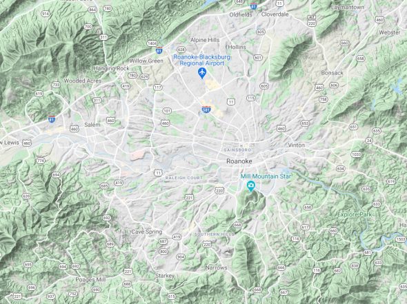
When viewing a map in Maptive, make sure your Base Map Type is set to “Map + Terrain,” then zoom in until elevation measurements become visible. If you’re zoomed out too far, or zoomed in too close, you won’t be able to see elevation. Maptive only displays elevation above 200’, so the lowest points on the map (like Death Valley for example) won’t have a measurement.
How to Create an Elevation Change Map
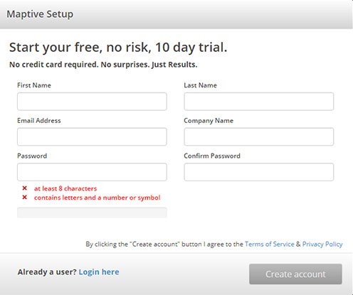
Step 1: Sign up for a Maptive free trial account. Try Maptive for free and explore the many mapping tools we have to offer.
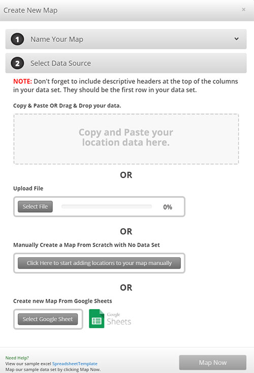
Step 2: Upload or input your data. Upload data directly from an existing spreadsheet, copy and paste your data into Maptive, or enter it manually.
Step 3: Select “Map Now” to view your map. Your location data is now plotted on a beautiful interactive map. Maptive is cloud-based and uses a simple interface, meaning you can log in from wherever you are and view it any time.
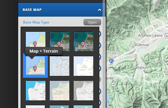
Step 4: Change your map type. Click the gear icon in the top left corner, then open the “Base Map” drop-down menu. Click “Open” next to “Base Map Type” and select “Map + Terrain.”
Step 5: Zoom in. After selecting “Map + Terrain” hills and mountain ranges will become much more defined. Zoom in to view elevation measurements.
What are Elevation Change Maps Used For?
Elevation maps can be used for many purposes. A land developer may use it to assess a piece of land to ensure that the elevation levels are suitable for building and not susceptible to flooding. Elevation maps can also be used to determine air pressure levels, as higher altitudes have higher air pressure levels. This information is useful for anything from cooking to complex industrial processes.
Elevation maps are also very useful for runners, hikers, climbers, and various sports people. If you’re running marathons, you’ll want to know about any elevation changes ahead of time so you can plan accordingly. For hikers, it’s important to be aware of the elevation profiles of your routes. And for climbers, you’ll need to know the elevation of the overall climb, as well as the elevation for various stages of your descent.
Depending on what your map is being used for, it may be important to get exact elevation measurements for a precise location, specific markers, or a set of location elements.
Start Your Free, No Risk, 10 Day Trial
No credit card required. No surprises. Just Results.

