How to Create Printable Maps
Create high-resolution maps for print using Maptive’s image export feature. Customize your map using a wide range of tools and features, then print high-quality images that are perfect for presentations, custom map prints, city map prints, territory maps, map art, and more.

What Can You Do with Printable Maps?
While Maptive is known primarily for cloud-based interactive maps, our image export feature means you can create a print version of any map you build. A print map has a wide range of applications, including:
- Presentations: Print a large map (Maptive can export images as large as 5120 x 3200 in resolution) for business presentations or classroom activities. Or create several smaller versions to hand out to your team.
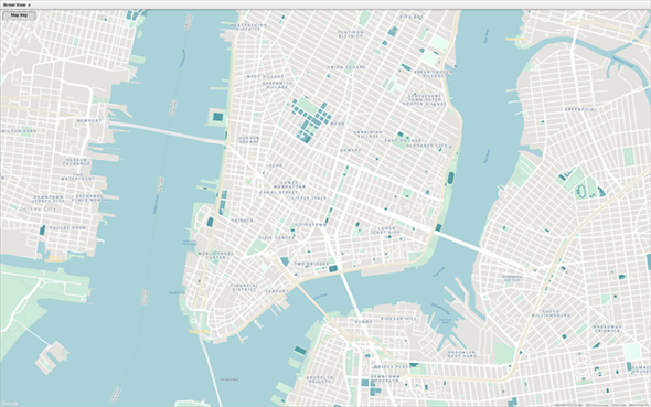
- Create Your Own City Maps: Build a custom city map in Maptive, print it, and put it on display.
- Territory Maps: Create sales territories within your map and print a version to hang in your office, so your team is always aware of their service area.
- Map Art: Print poster maps of your favorite cities and geographical areas to hang in your office, home, or other locations.
- Export Images for Books and Manuals: Build custom maps and then export the images to include in various printed materials, such as brochures, newsletters, employee handbooks, training manuals, reference guides, and more.
How to Create a Printable Map
Step 1:
Sign up for a Maptive free trial account. Then, try Maptive for free and explore the many mapping tools we have to offer.
Step 2:
Upload or input your data. Upload your location data from an Excel spreadsheet in a few simple clicks, or input it manually.
Step 3
Select “Create Map” to view your map. Your locations are now plotted on a beautiful interactive map.
Step 4
Customize your map. Use our wide range of map editor tools, such as map markers, heat maps, boundaries, drawing tools, and more, to customize your digital map however you like.
Step 5
Export your map image. Download high-resolution maps for printing by clicking the “Export Map Image” button in the menu on the right side of the screen.
Step 6
Choose your image file type. Select either PNG or PDF format.
Step 7
Decide what type of map you want to export. You have the option of taking a screenshot of your current map view, downloading your map with a legend, and more.
Step 8
Select your image size. Choose “Normal” for a screen-sized map or “Large” for a poster-sized map.
Step 9
Print your map. Open your exported file, print it yourself, or send it to a print shop to get it professionally printed. Use a third-party tool, like Photoshop, to adjust the look of your map further before printing if you like.
Recommended Tools for Printed Maps
- Pin Maps: Use pins to indicate important locations. Change the color and appearance of your markers to customize your map further.
- Boundary Tool: Create territories using existing boundaries, such as zip codes, counties, and states.
- Drawing Tool: Build custom territories based on the distribution of your locations and customers.
- Filter Tool: Select which data to display on your map and what information you want hidden.
Create Your Maptive Account
Start a free 10-day trial to explore every feature. Upload spreadsheets, Google Sheets, or paste data directly, and begin mapping with powerful, customizable tools.
No Credit Card Required


