Automated Territory Creator & Optimizer
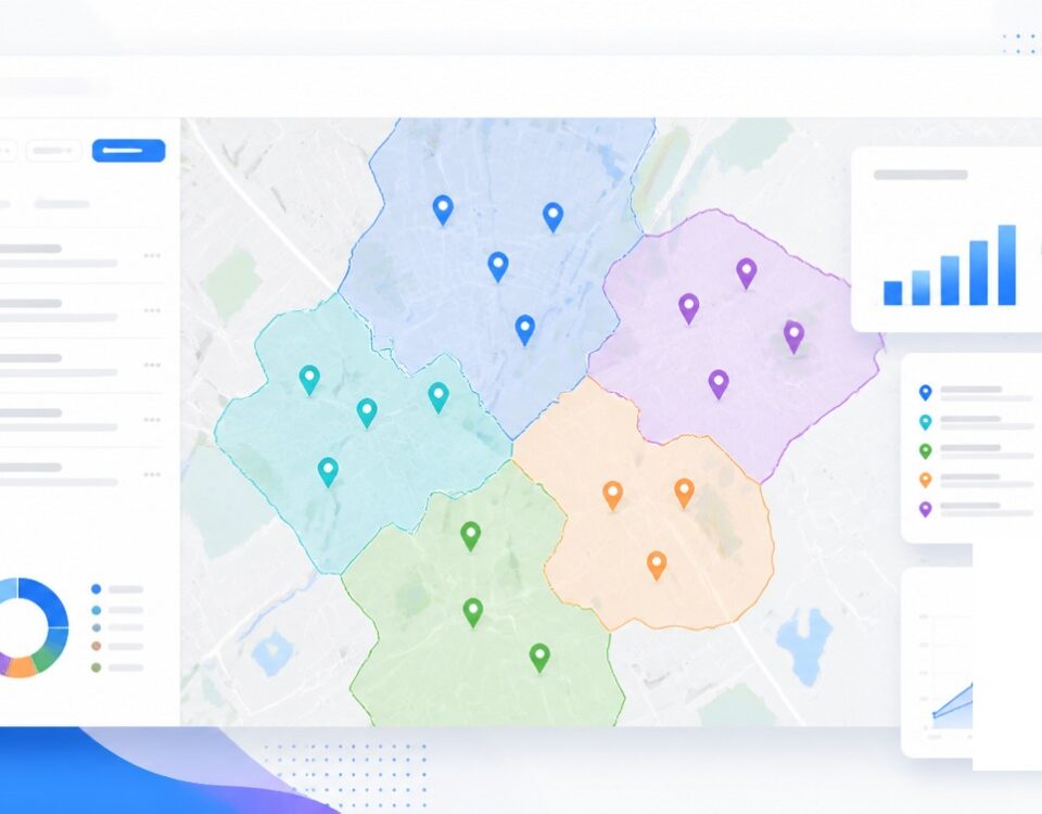
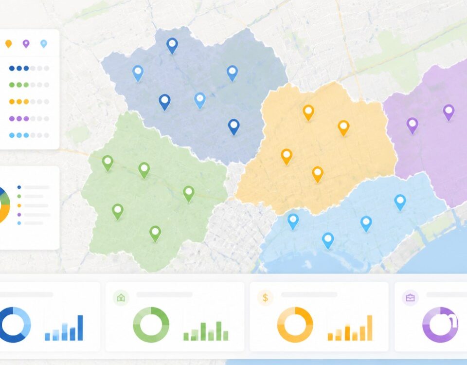
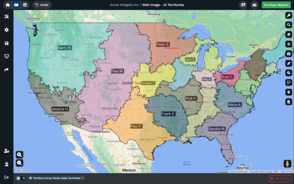
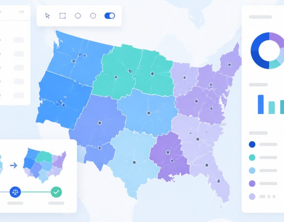
Need fair territories from a column in your data? Tick the columns, set the count, and the Auto Territory Builder returns evenly weighted zones across your boundary map fast.
Inside the Automated Territory Tool
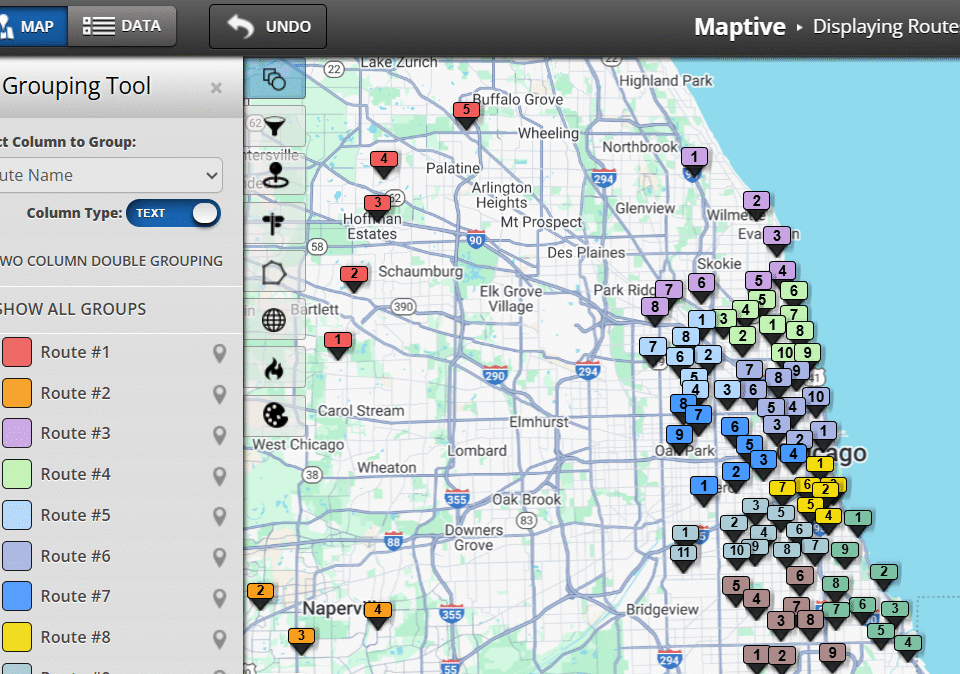
Balance by Any Metric: Pick 1 or more columns from your spreadsheet, weight them by importance, and the tool builds zones that spread the variables evenly across your map.
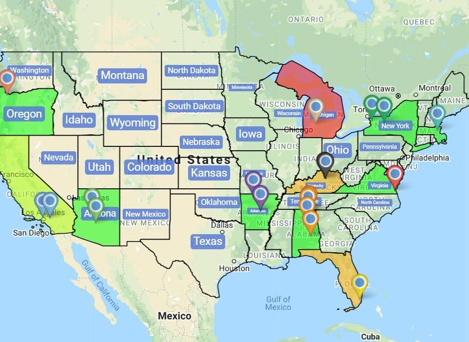
Respect Sales Rep Locations: Link a separate map of your rep home addresses and the tool builds 1 territory per rep centered on that home, cutting travel time for the team.
Optimize with Constraints: Set a min and max threshold on any chosen variable using input boxes or a slider, and the tool sizes every zone to fall inside the range you set up.
Respect Previous Territories: Use your existing layout as the starting point and the tool only adjusts zones that fall out of range, sparing the team from a full reshuffle.
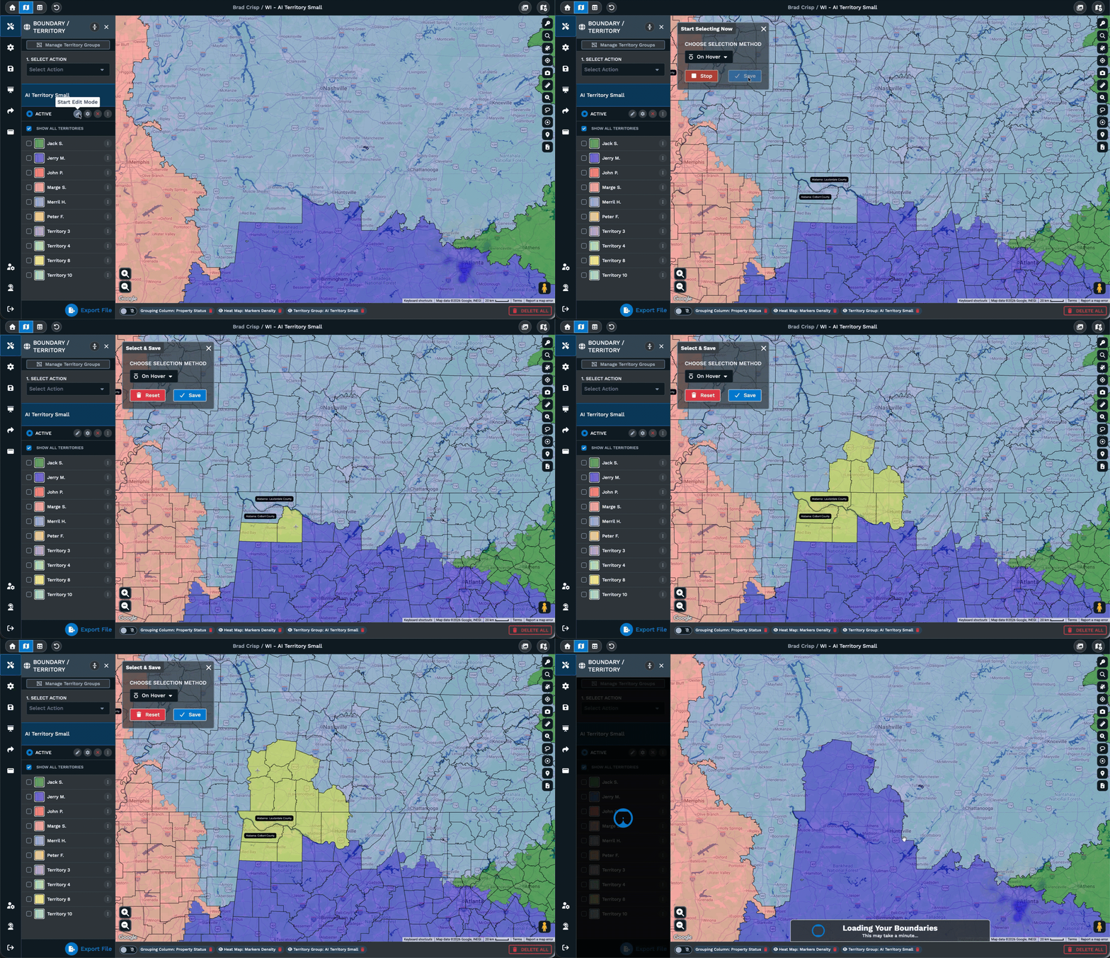
Manual Drawing Tool: Paint zones boundary by boundary with the Drawing Tool or grab a polygon with the Lasso, then add, remove, or reassign any boundary inside the group.
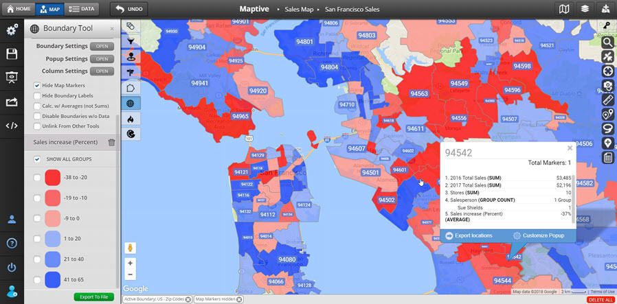
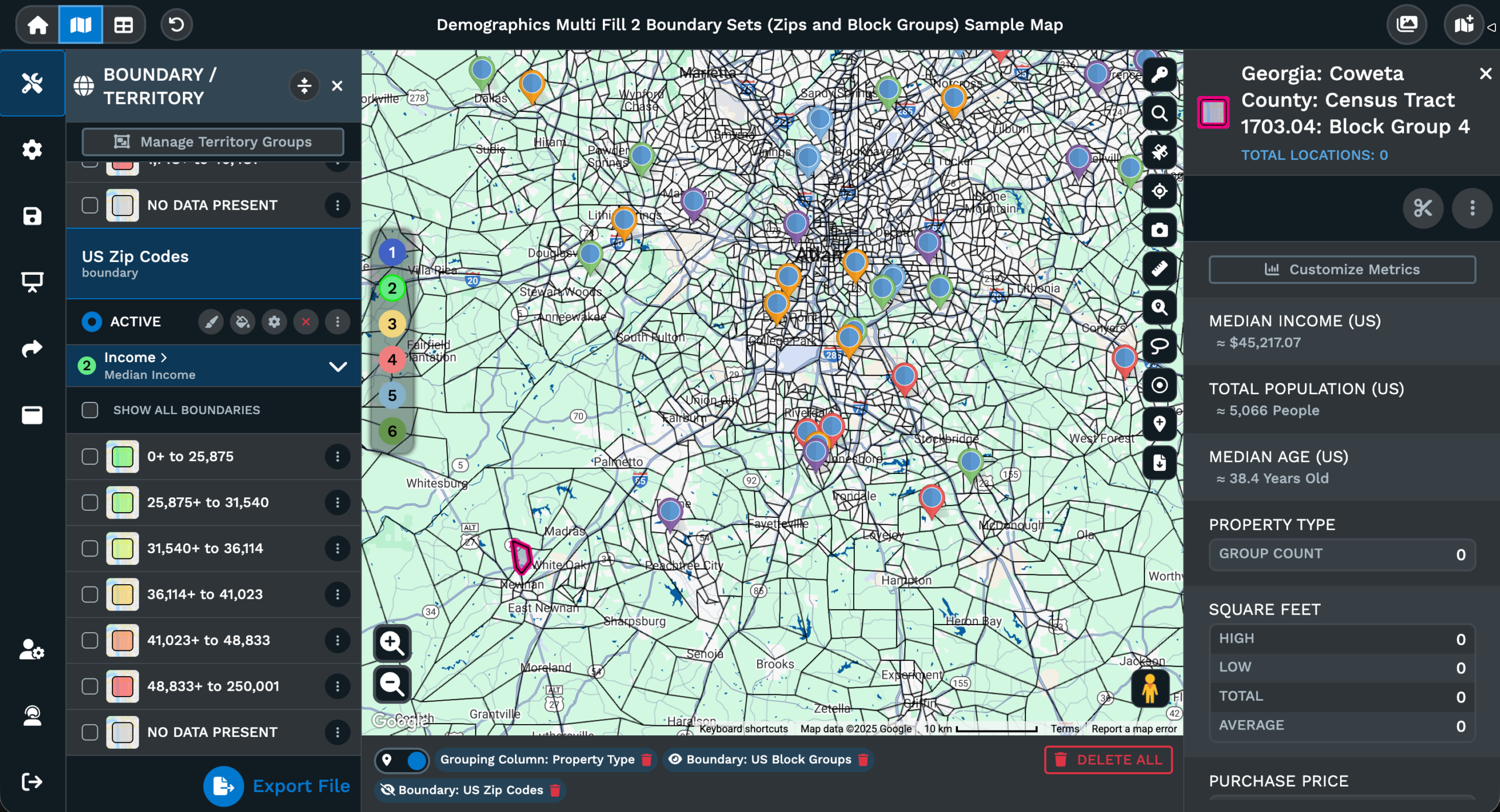
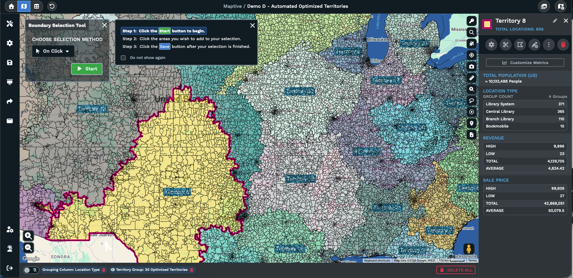
Live Territory Metrics: Click any boundary on the territory map and a popup returns metrics for that area, with the variables you balanced on plus census data you layered.
Build Territories in 3 Steps
1
Pick
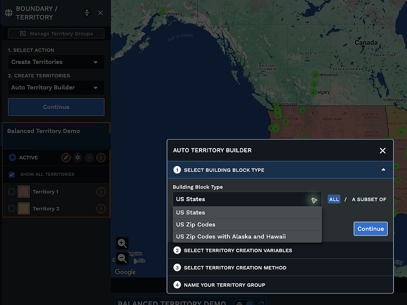
Open Map Tools, choose Territories, pick the Auto Territory Builder, then set the boundary type your zones will follow.
2
Configure
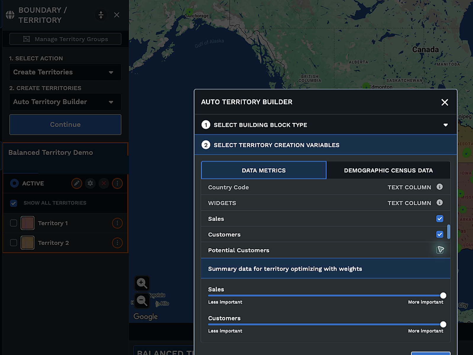
Tick the columns to balance on, weight them if more than 1, set the territory count or your min and max range limits.
3
Ready
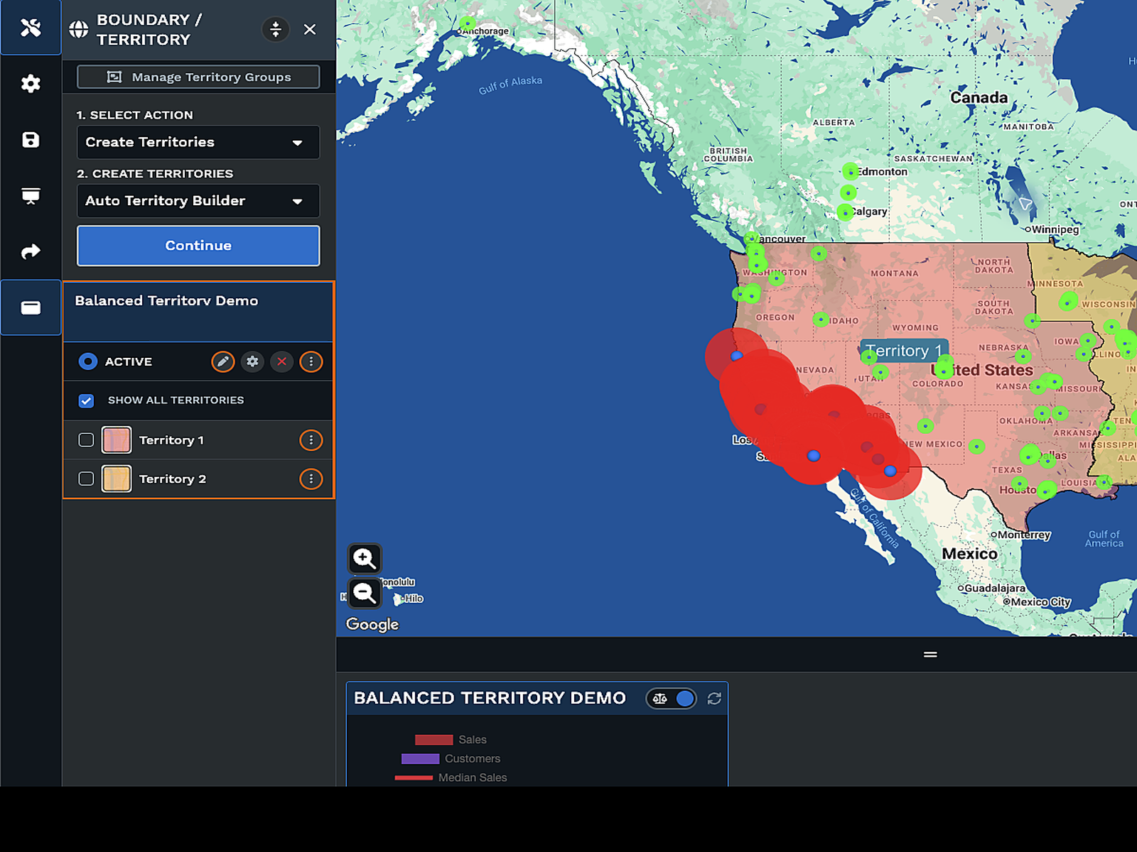
Maptive builds your zones in minutes, and a click on any boundary returns the metrics for that area of the map.
What Maptive's Auto Territories Solve
Bulk Territory Build
Coverage Around Reps
Zones Inside Limits
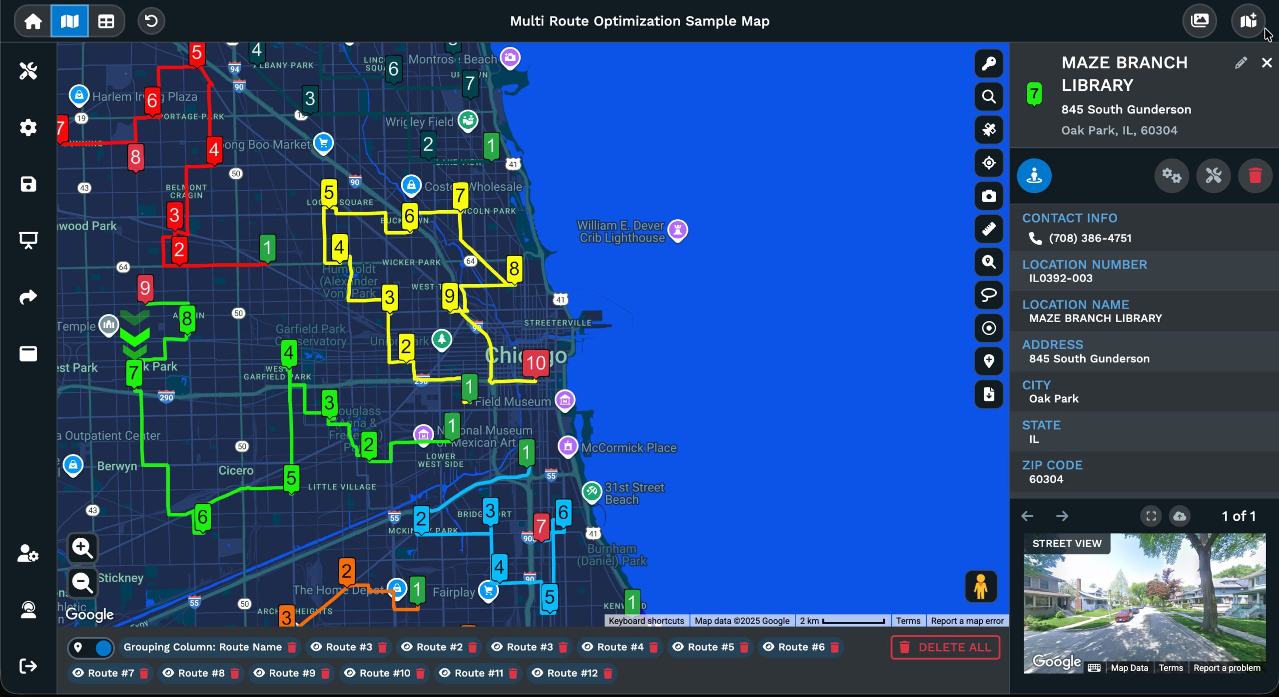
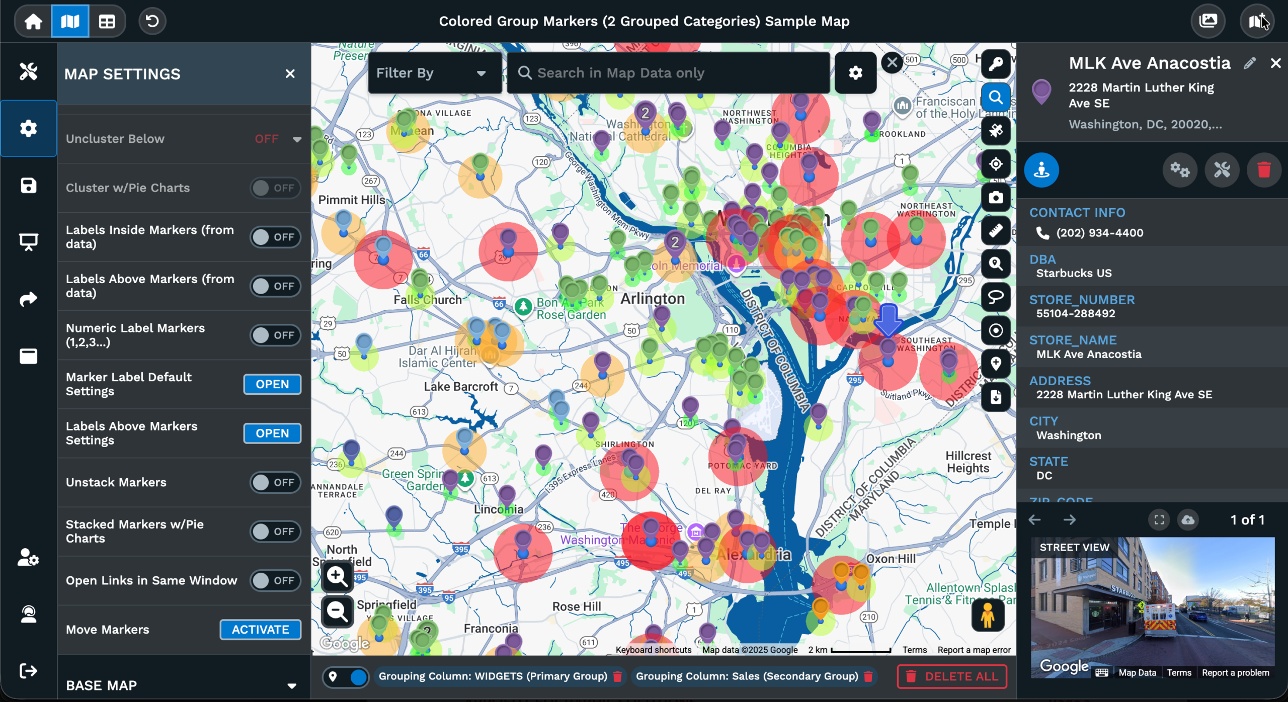
Targeted Territory Rebalance
Manual Carve Outs
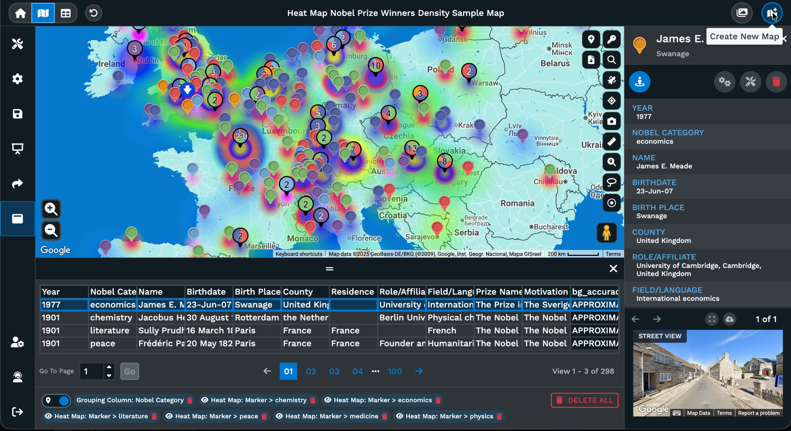
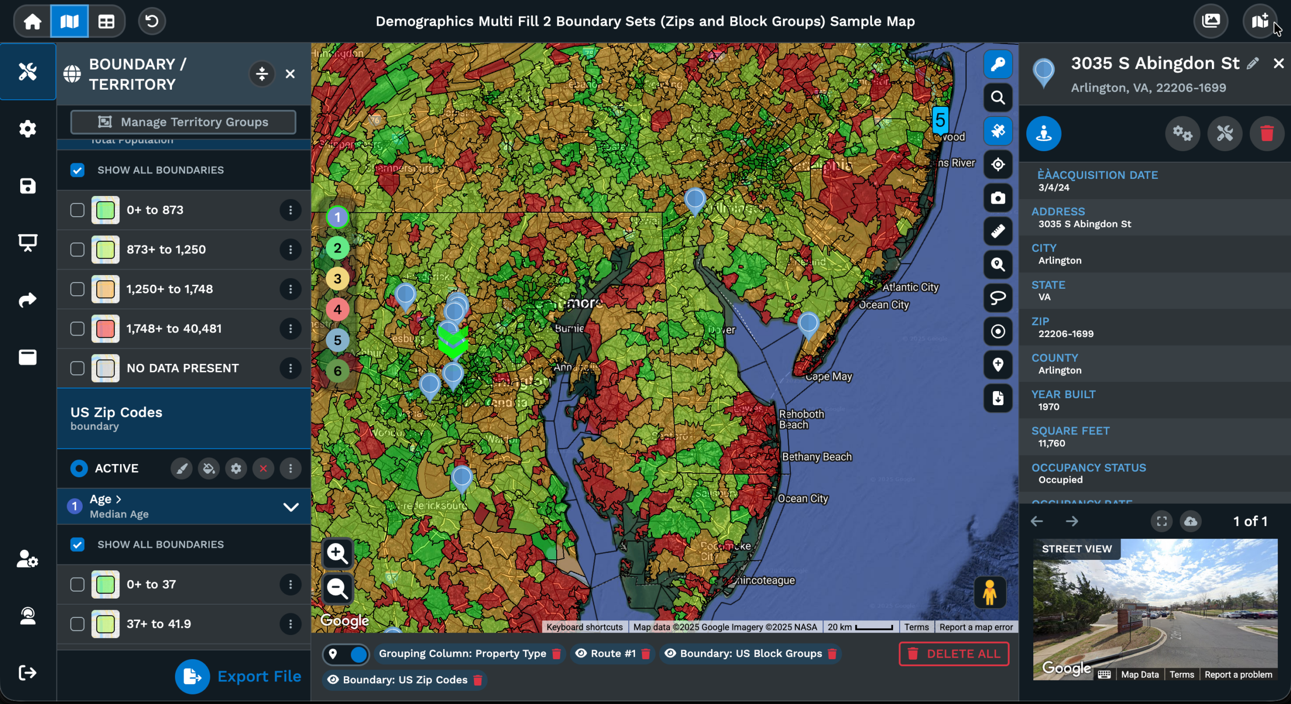
Balance Across Metrics
How Maptive Builds Territories
How Auto Territories Build
Most teams still build territories the slow way on a spreadsheet. You open a sheet of accounts or addresses, sort by region, eyeball the clusters, drag rows into groups, and try to keep the totals roughly even before you send the file around for review. The pass is manual, the rerun cost is high, and the result is rarely fair to every rep on the team day to day.
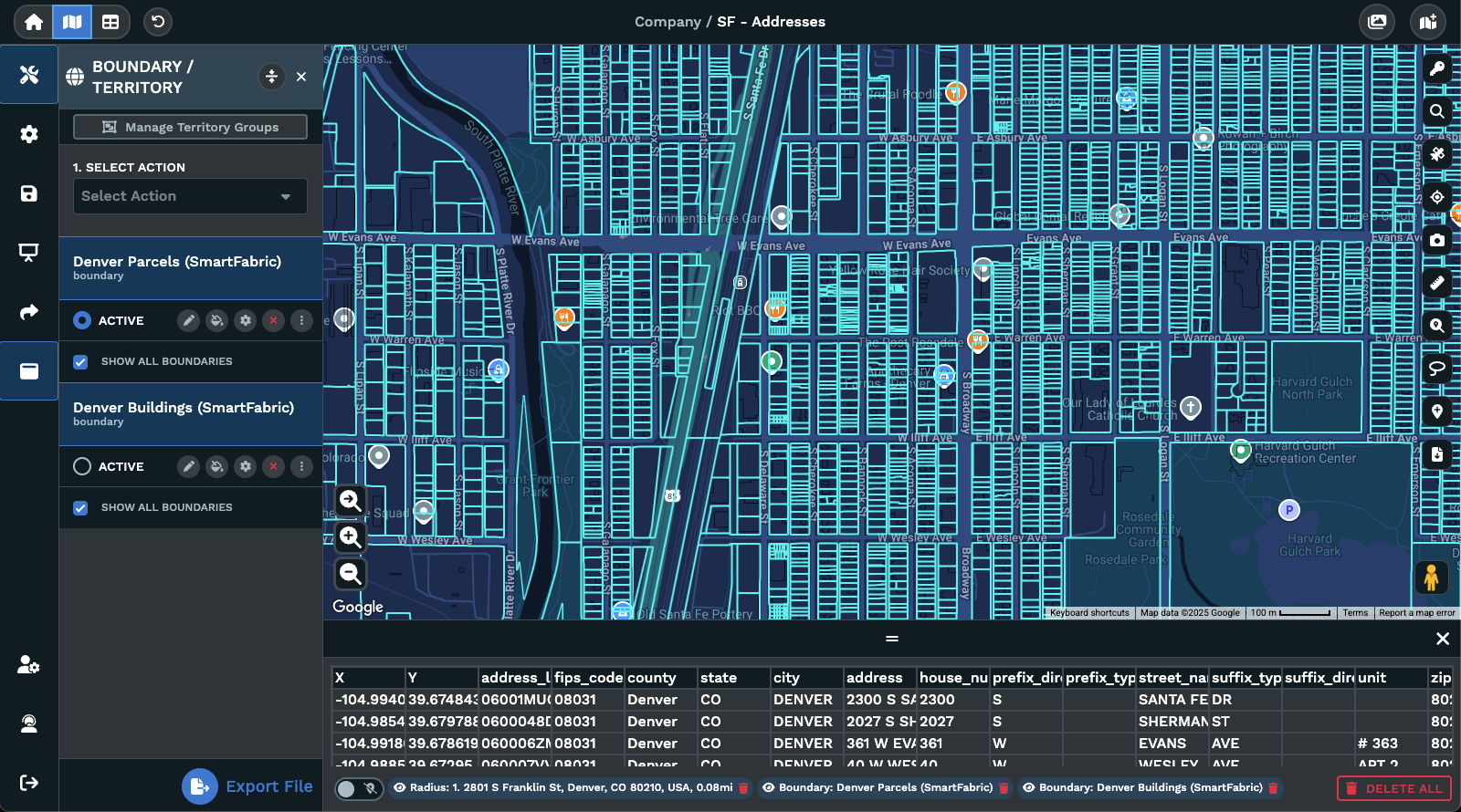
The Automated Territory Tool in Maptive replaces that pass with a guided workflow. From your map you open Map Tools, choose Territories, pick Auto Territory Builder, set the boundary type the zones will follow, then choose the spreadsheet columns to balance on. If you balance on more than 1 column, you weight each by importance with a slider so the optimizer knows which variables matter most for the team during the run.
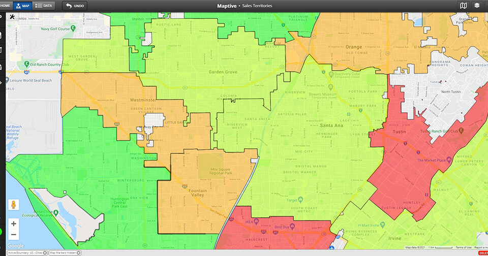
Generation takes between 1 and 15 minutes depending on the dataset and area size. The map returns the new zones and a distribution graph so you can sanity-check the spread before you ship anything. Click any boundary on the map and a popup returns the metrics for that area, including the variables you balanced on plus any census data you layered into the build, so the territory map doubles as a reporting view.
Balancing Multiple Variables
A single-metric balance often misses the way real businesses operate. Splitting purely on revenue ignores account count and density. Splitting purely on count ignores revenue and how much travel each zone needs. The trade-offs the team weighs in their head are exactly what an automated tool should weigh, with explicit weights you can tune and rerun.
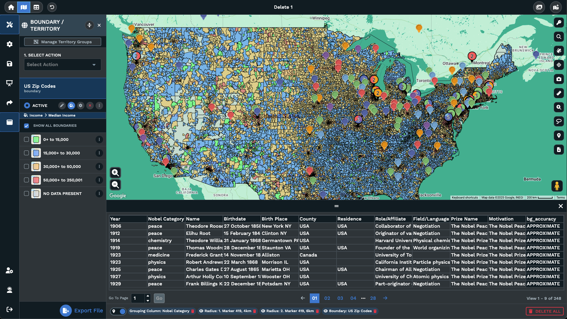
In the Auto Territory Builder you can pick more than 1 column from your spreadsheet under Data Metrics. You can also bring in census variables from the Demographic Census Data section where they are available for the boundary set you chose. With multiple variables selected, an importance slider lets you weight each variable so the optimizer knows if revenue, count, or population should pull harder during the build pass.
Optimize with Constraints layers a second control on top. Set a min and max threshold for any chosen variable through the input boxes or the slider. The tool then sizes the territories so each zone falls inside the range you set, even if that means the territory count Maptive picks is different from what you would have guessed. The constraint pass and the weighted balance work together for a fair, defendable territory layout.
Auto and Manual Tuning
The Automated Territory Tool gets you most of the way to a fair map, and most teams have a few zones the algorithm cannot produce on its own without a hand pass at the end. A regional carve-out, a special account, a county that should not split between 2 reps. Maptive treats those local edits as a normal part of the workflow rather than something that breaks the auto build pass.
The Territory Drawing Tool covers the manual side of the work. From Map Tools you can pick Create Territories Manually, then choose Selection or Drawing as the method for adding zones to the map. Selection has 3 modes: On Click for 1 boundary at a time, On Hover for fast multi-pick, and the Lasso Tool for a polygon pick with a Full Boundaries Only or Full and Partial Boundaries toggle before you start.
Drawing lets you paint a polygon by clicking points, with double-click or click-on-start to close the polygon you drew. Edits use Drag and Drop on the polygon anchors, and the popup gives you Add, Remove, or Reassign options against any existing territory group. Each saved territory takes a name, color, and fill transparency, and the same group can be reopened from the 3-dot menu for any further work later.